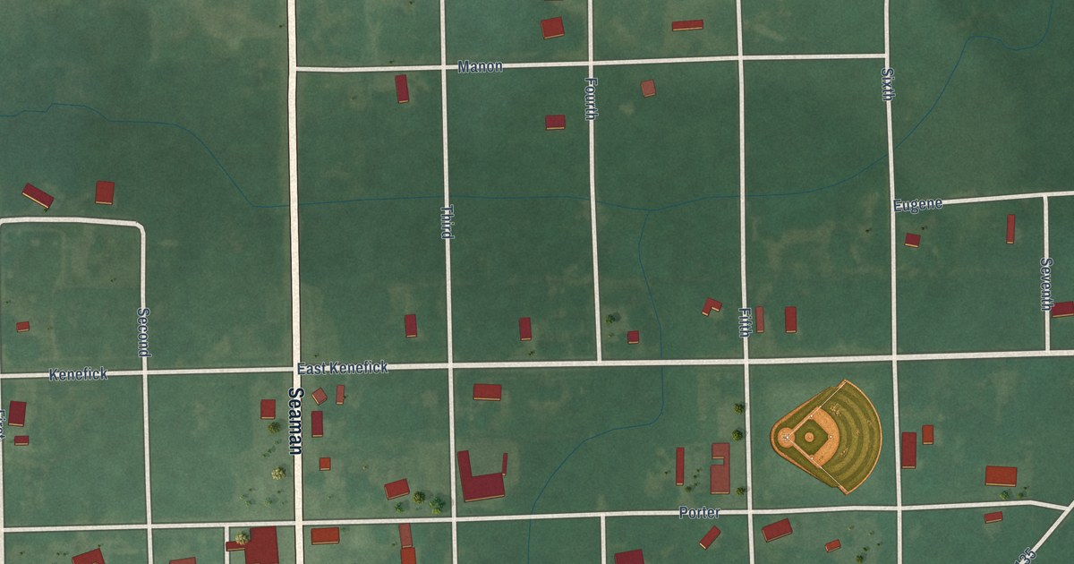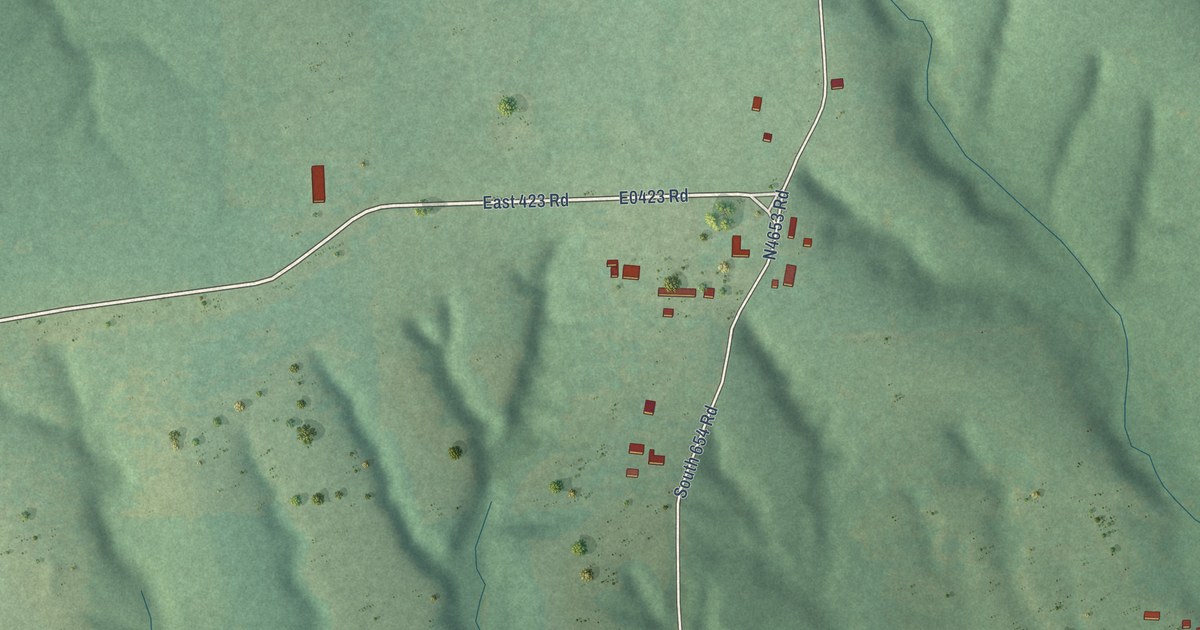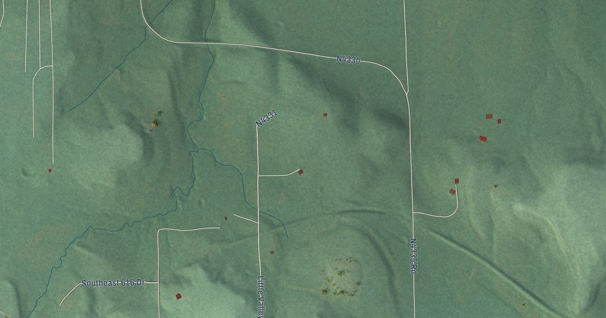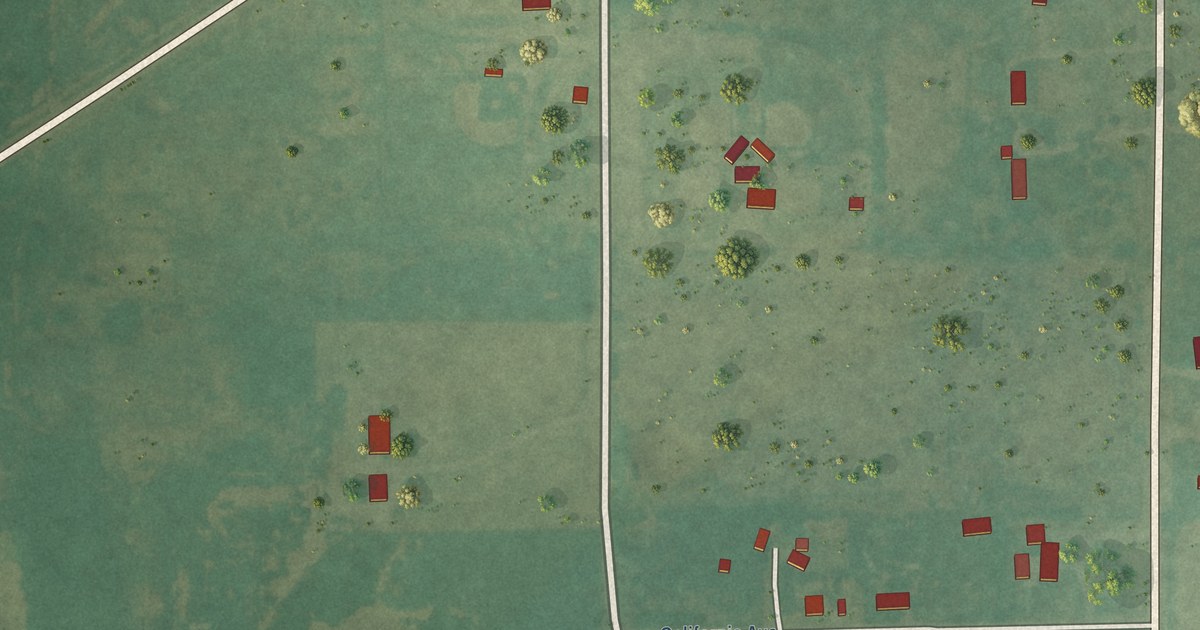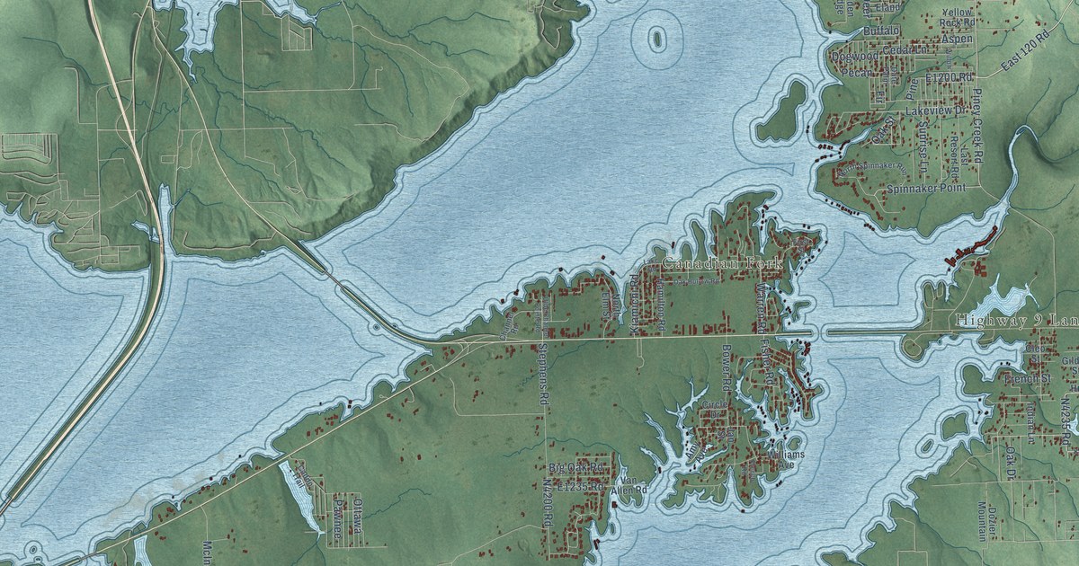
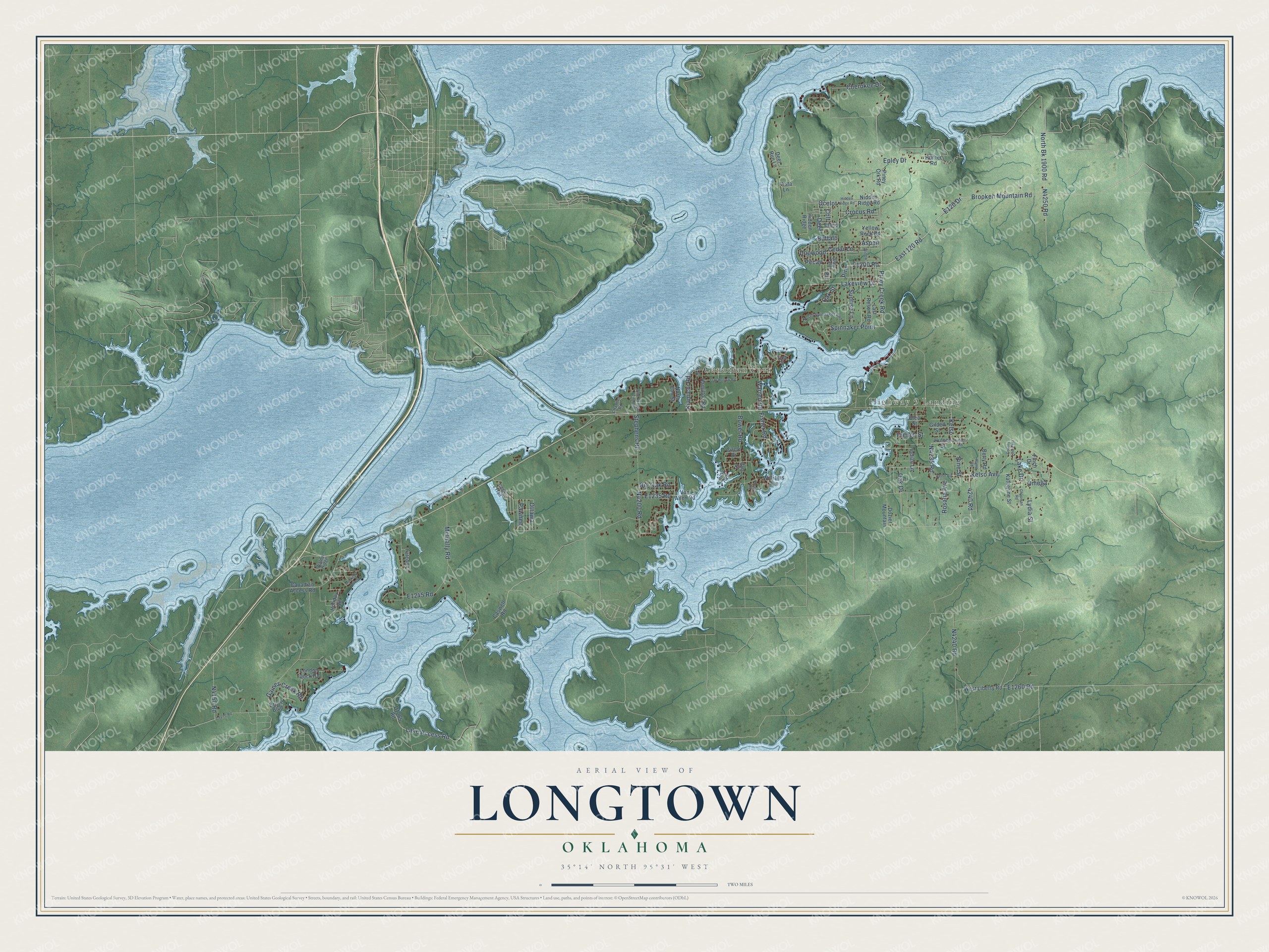
This beautifully detailed map of Longtown, Oklahoma was created in 2026 using aerial imagery combined with modern topographical, census, street and landmark data. It's a modern aerial view of Longtown in Pittsburg County, Oklahoma, that combines modern data with a vintage aesthetic. The roads feature printed names, and if you look closely you can find your exact house accurately shown in its correct location.
Explore an aerial view of Longtown, Oklahoma
On this map you'll find Highway 9 Landing, Canadian Fork, Piney Creek Road, E1235 Road, North Bk 1900 Road, Spinnaker Point, Lakeview Drive, 4240 Road, Brooken Mountain Road, E120 Drive, East 120 Road, N4240 Road, and more. Each red shape is a building, so zoom in on the preview and look for yours.
Every town has a first chapter, and Longtown is no exception. In the summer of 1853 the artist Balduin Mollhausen, traveling with Lieutenant A. W. Whipple's Pacific Railroad Survey, rode with a scouting party to the Canadian River where Longtown Creek joined it. He wrote of the broad sandy riverbed, banks grown with cottonwood and cedar, a white heron standing motionless, and wild turkeys flying up to roost in the high trees. Longtown Creek met the Canadian opposite the mouth of the North Fork, near old North Fork Town in the Creek Nation. That's from the Chronicles of Oklahoma.
Longtown is a community in Pittsburg County. The Census Bureau counted 2,659 people here in 2020.
Take a closer look at the Longtown map
Names on this map
These names are printed on this map.
Places: Highway 9 Landing and Canadian Fork.
Streets and roads: Piney Creek Road, North Bk 1900 Road, Spinnaker Point, Lakeview Drive, 4240 Road, Brooken Mountain Road, East 120 Road, Deer, Oak Street, Lake Access Road, Pecan, Kelso.
More street names, A to Z
Amy Avenue, Aspen, Betty Road, Big Oak Road, Bower Road, Bruce Boulevard, Buffalo, Caddo Trail, Canadian Access Road, Caswell Road, Cedar Lane, Channel Road, Chapman Road, Cherokee Drive, Circle Drive, Cleo Street, Colt, County Line East, Crocus Road, Date Palm, Deer Run Lane, Dogwood, Dozier Mountain, Eland, Epley Drive, Falcon Lane, Finch Drive, Fir, First Street, Fisher Road, French Road, French Street, Gaines Creek Road, Gildell Street, Hamilton Road, Hidden Ridge, Hidden Ridge Road, Holiday Hill, Hudson Road, Hunter Road, Hutson Street, Indian Lane, Jan Street, Katherine Street, Kelso Avenue, Kelso Road, Kiamichi Road, Lake Drive, Lake Road, Last Resort Road, London Dock Road, Lydia Street, McInally Road, Morrison Acres, Nidden Ridge Road, North Elm Street, North Spinnaker Run, Oak Drive, Oak Hollow Road, Ocelot, Olde Channel Pointe Road, Omega, Ottawa, Pawnee, Pine, Pine Street, Piney Crk Road, Ramp Road, Rosalia Avenue, Stephens Road, Sunrise Lane, Van Allen Road, Vista Lane, Walnut Ridge, Warren Road, West Liberty Road, Williams Avenue, Willow, Yellow Rock Road.
See it on a wall
The Longtown map as a framed print. Swipe for more.


Created by KNOWOL in 2026. The buildings are small red shapes, the roads carry their printed names, and shaded relief shows the shape of the land. The title panel reads "AERIAL VIEW OF LONGTOWN, OKLAHOMA" with 35°14' NORTH 95°31' WEST.
Hang it in the hallway, the office or the cabin, or give it to someone who left Longtown and still calls it home. Open the preview and look for a street you know. See sizes and frames for the Longtown map.