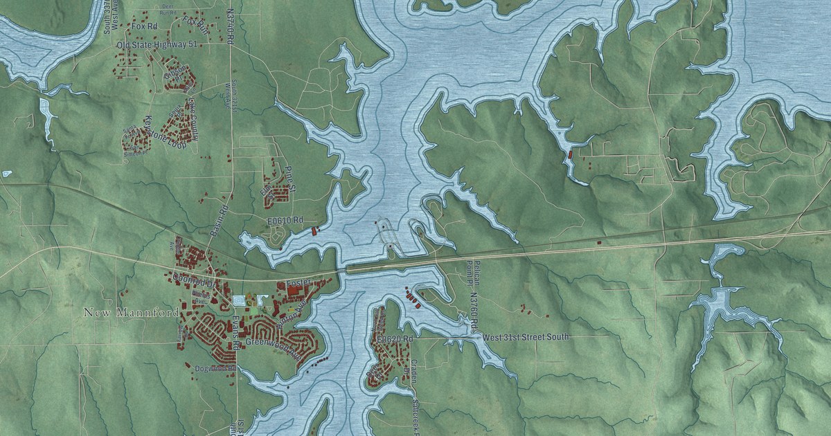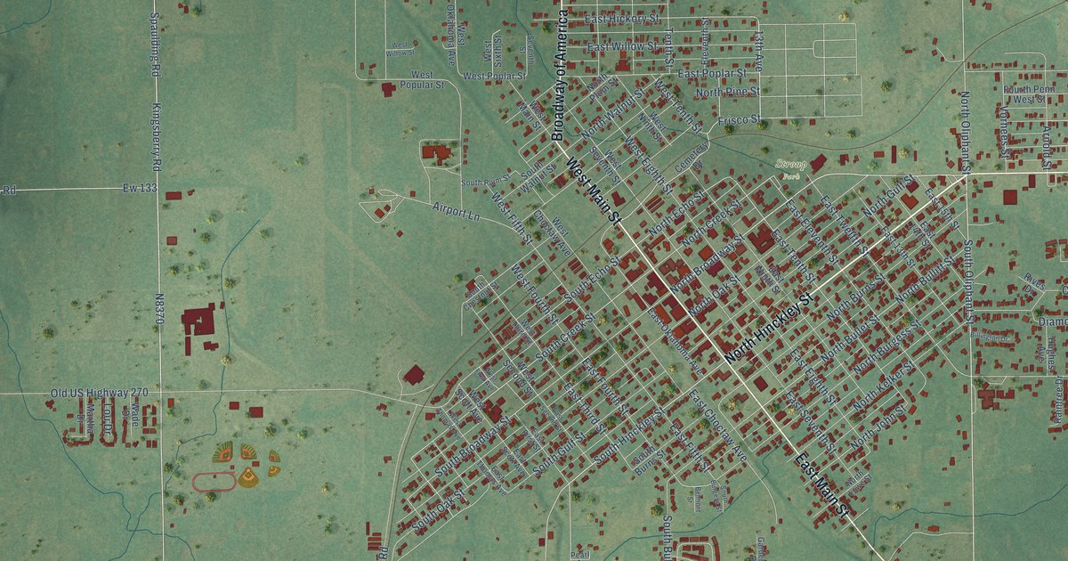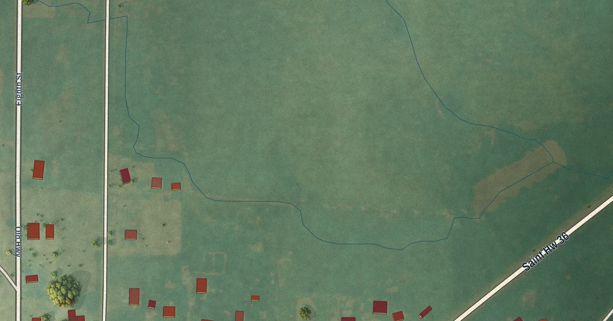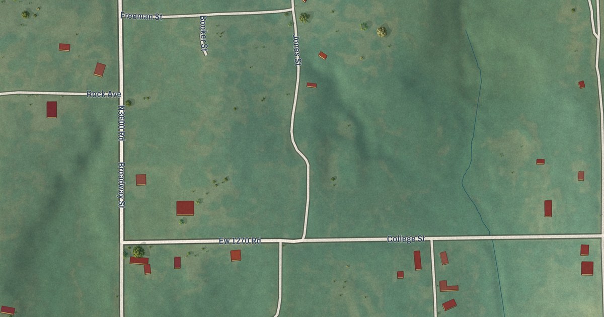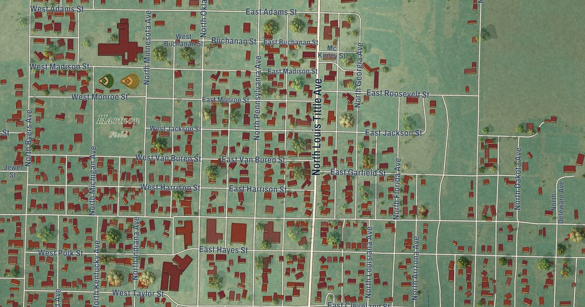
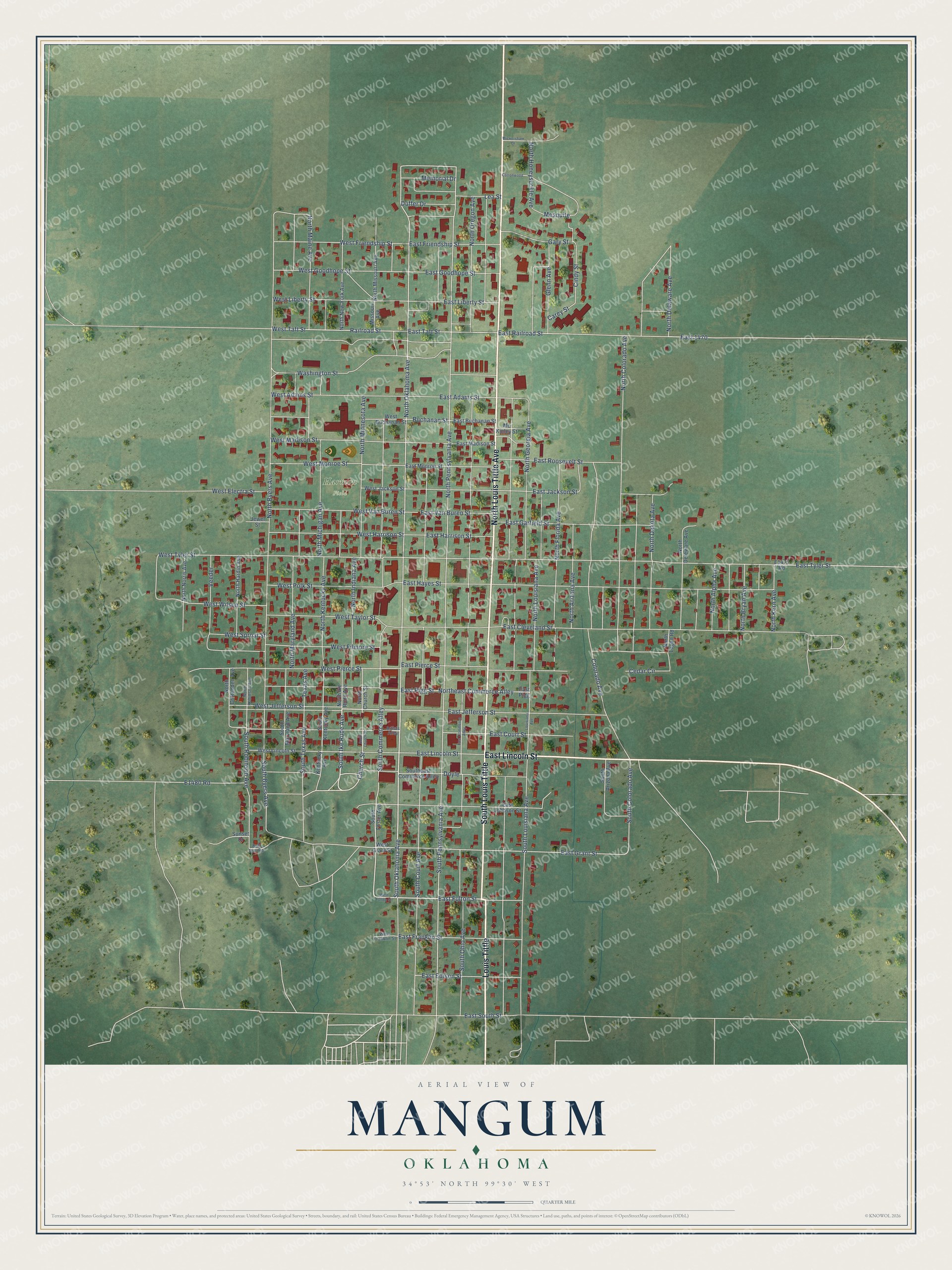
This beautifully detailed map of Mangum, Oklahoma was created in 2026 using aerial imagery combined with modern topographical, census, street and landmark data. It's a modern aerial view of Mangum in Greer County, Oklahoma, that combines modern data with a vintage aesthetic. The roads feature printed names, and if you look closely you can find your exact house accurately shown in its correct location.
Explore an aerial view of Mangum, Oklahoma
On this map you'll find Harmon Field, Louis Tittle, East Lincoln Street, South Louis Tittle, North Louis Tittle Avenue, South Oklahoma Avenue, West Jefferson Street, South Ike Rude Avenue, East Fulton Street, Church Street, North Oklahoma Avenue, South Commerce Alley, and more. Each red shape is a building, so zoom in on the preview and look for yours.
Every town has a first chapter, and Mangum is no exception. The record at okhistory.org puts it this way: "From the first school, established in a dugout in 1886, to the twenty-first-century state-of-the-art school system, education has been especially important."
Mangum is a city in Greer County.
Take a closer look at the Mangum map
Names on this map
These names are printed on this map.
Places: Harmon Field.
Streets and roads: Louis Tittle, East Lincoln Street, South Louis Tittle, North Louis Tittle Avenue, South Oklahoma Avenue, West Jefferson Street, South Ike Rude Avenue, East Fulton Street, Church Street, North Oklahoma Avenue, South Commerce Alley, North Pennsylvania Avenue.
More street names, A to Z
Artists Alley, Buchanan Street, Bull Run Road, Carey Street, Cedar Circle, Cindy Street, Colorado Avenue, Cottonwood, Doyle, Duffer Drive, East 1470, East Adams Street, East Buchanan Street, East Cleveland Street, East Commerce Alley, East Court Street, East Edison Street, East Franklin Street, East Friendship Street, East Garfield Street, East Goodhope Street, East Grant Street, East Harrison Street, East Hayes Street, East Jackson Street, East Jefferson Street, East Johnson Street, East Liberty Street, East Madison Street, East Monroe Street, East Pierce Street, East Pigg, East Pigg Street, East Railroad Street, East Roosevelt Street, East South Street, East Taft Street, East Tyler Street, East Van Buren Street, Gary Street, Glenn Avenue, Jewel Street, Kentucky Avenue, Lea Street, Louisiana Avenue, Mc Kinley Street, Memorial Drive, Mesquite, Missouri Avenue, North Alpha Avenue, North Arizona Avenue, North Bryan Avenue, North Byers Avenue, North Church Street, North Colorado Avenue, North Crittenden Avenue, North Dakota Avenue, North Delaware Avenue, North Deleware Avenue, Northeast Commerce Alley, North Florida Avenue, North Georgia Avenue, North Hardin Avenue, North Honeysuckle Avenue, North Ike Rude Avenue, North Indiana Avenue, North Kentucky Avenue, North Kern Avenue, North Logan Road, North Louisiana Avenue, North Maine Avenue, North Maryland Avenue, North Michigan Avenue, North Minnesota Avenue, North Missouri Avenue, North New York Avenue, North Norris Avenue, North Oregon Avenue, North Robinson Avenue, Railroad Street, South Arizona Avenue, South Byers Avenue, South Church Street, South Colorado Avenue, South Court Avenue, Southeast Commerce Alley, South Foster Avenue, South Kentucky Avenue, South Louisiana Avenue, South Maryland Avenue, South Ohio Avenue, South Pennsylvania Avenue, South Robinson Avenue, South Texas Avenue, Sunset Drive, Texas Avenue, Veeder, Washington Street, West Adams Street, West Buchanan Street, West Electra Street, West Filmore Street, West Franklin Street, West Friendship Street, West Fulton Street, West Goodhope Street, West Grant Street, West Harrison Street, West Jackson Street, West Liberty Street, West Lincoln Street, West Madison Street, West Monroe Street, West Pierce Street, West Polk Street, West Sproat Street, West Taft Street, West Taylor Street, West Tyler Street, West Van Buren Street, West Wilson Street, Wickersham Drive.
Created by KNOWOL in 2026. The buildings are small red shapes, the roads carry their printed names, and shaded relief shows the shape of the land. The title panel reads "AERIAL VIEW OF MANGUM OKLAHOMA" with 34°53' NORTH 99°30' WEST.
Hang it in the hallway, the office or the cabin, or give it to someone who left Mangum and still calls it home. Open the preview and look for a street you know. See sizes and frames for the Mangum map.