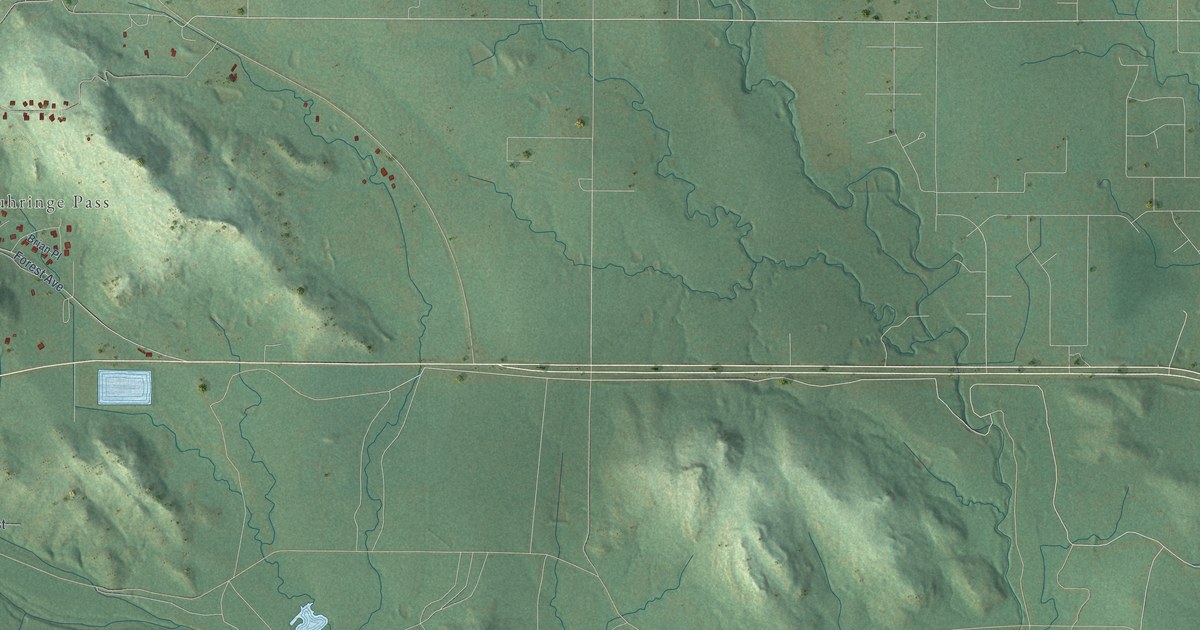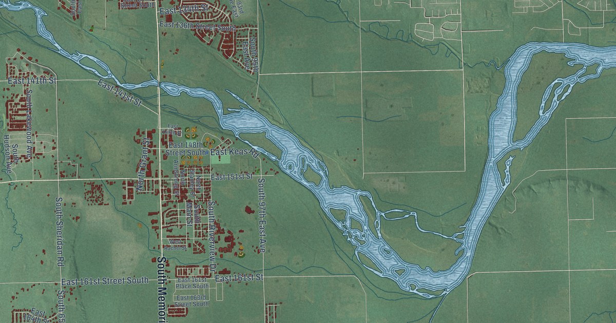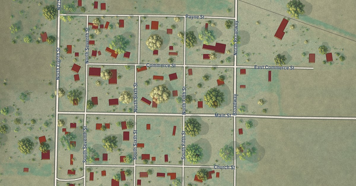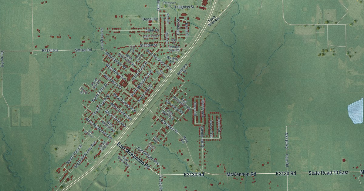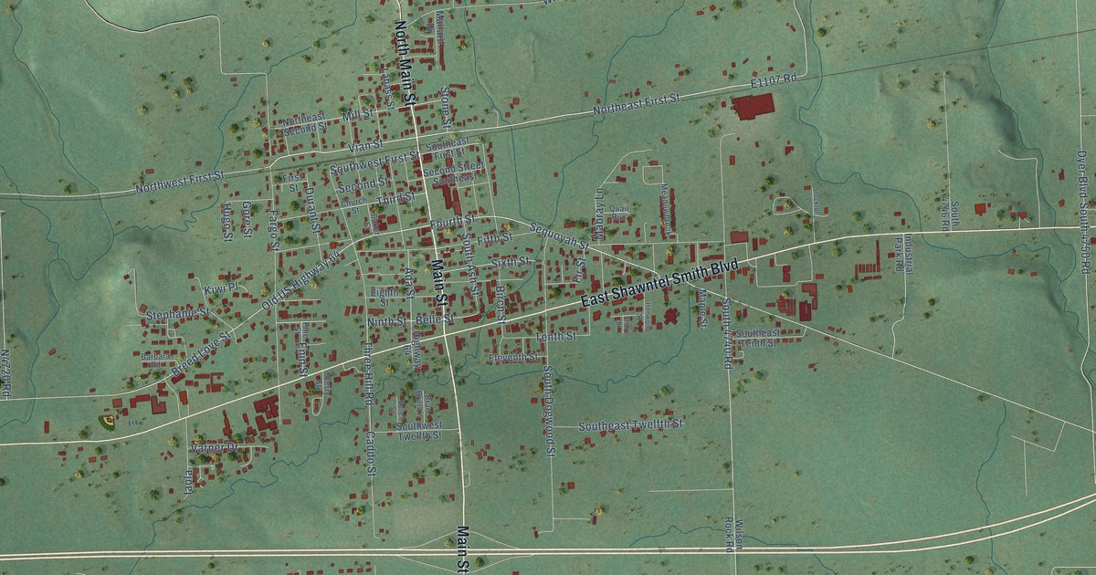
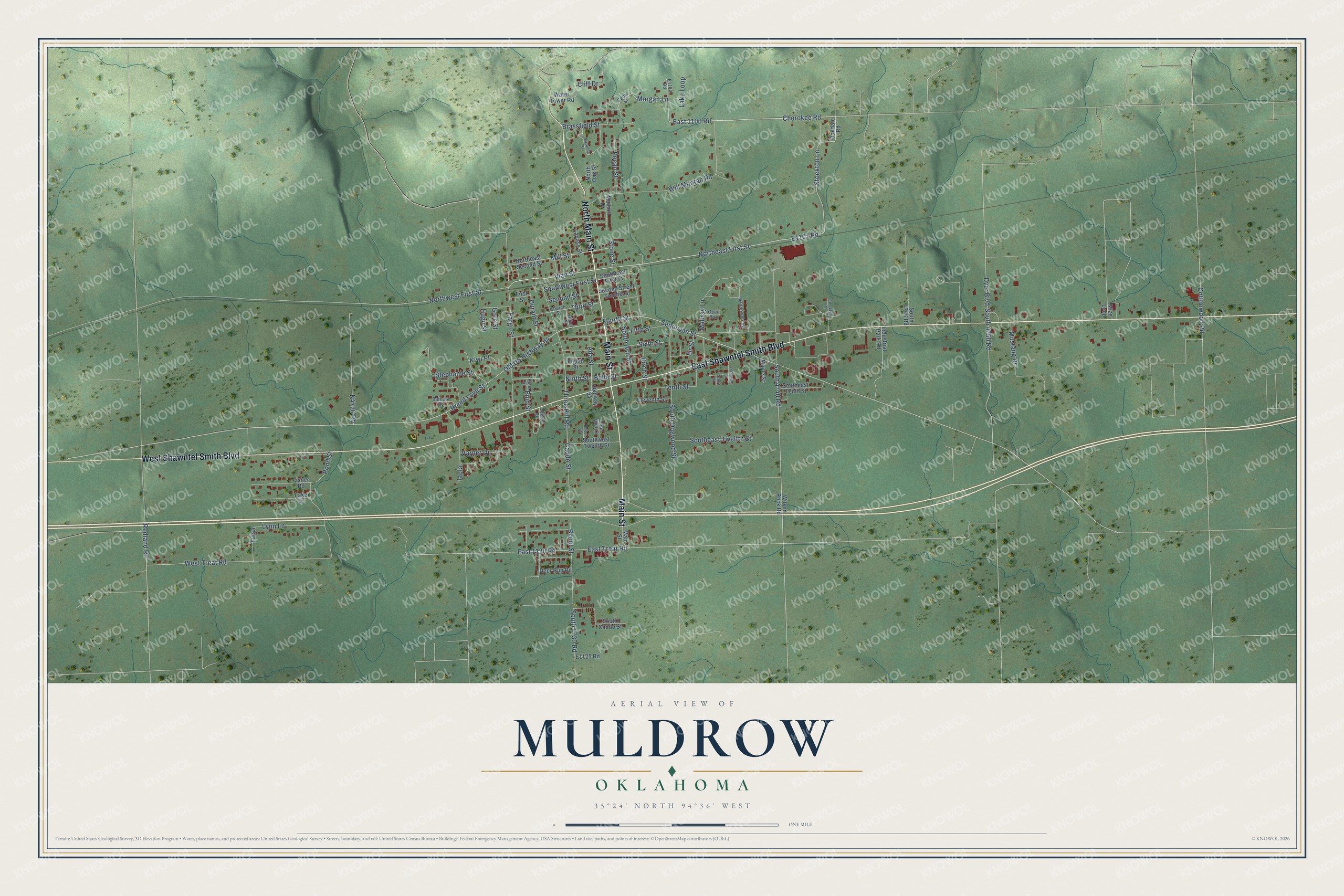
This beautifully detailed map of Muldrow, Oklahoma was created in 2026 using aerial imagery combined with modern topographical, census, street and landmark data. It's a modern aerial view of Muldrow in Sequoyah County, Oklahoma, that combines modern data with a vintage aesthetic. The roads feature printed names, and if you look closely you can find your exact house accurately shown in its correct location.
Explore an aerial view of Muldrow, Oklahoma
On this map you'll find Main Street, East Shawntel Smith Boulevard, West Shawntel Smith Boulevard, North Main Street, Northeast First Street, Stockton Lane, East 1100 Road, Morgan Lane, Cherokee Road, E1107 Road, Northwest First Street, Old US Highway 64, and more. Each red shape is a building, so zoom in on the preview and look for yours.
Every town has a first chapter, and Muldrow is no exception. The record at okhistory.org puts it this way: "In November 1887 the Post Office Department established a post office, named for Henry Muldrow, assistant secretary of the U.S. Department of the Interior."
Muldrow is a town in Sequoyah County.
Take a closer look at the Muldrow map
Names on this map
These names are printed on this map.
Streets and roads: Main Street, East Shawntel Smith Boulevard, West Shawntel Smith Boulevard, North Main Street, Northeast First Street, Stockton Lane, East 1100 Road, Morgan Lane, Cherokee Road, Northwest First Street, Old US Highway 64, Vian Street.
More street names, A to Z
Ada Street, Baker Street, Barbara Road, Beller Street, Belle Street, Birch Street, Bland Street, Bran Britt Lane, Brassfield Street, Breed Love Street, Caddo Street, Cedar Street, Cherry Street, Church Street, Cliff Drive, Cottonwood Road, Deer Run Road, Durant Street, Dyer Boulevard, East 1120 Road, East Treat Road, Eighth Street, Eleventh Street, Enid Street, Fargo Street, Fifth Street, Fir Street, First Street, Fisher Road, Fourth Street, Gore Street, Highway 64, Hugo Street, Iaola, Industrial Park Road, Ironwood Street, Kiwi Place, Labass Street, Lake Drive, Lake Loop, Lynn Lane, Mabray Lane, Mallard Drive, Maple Street, Meadowbrook, Mill Street, Mize Loop, Mustang Drive, Ninth Street, Northeast Second Street, North Oak Street, Oakdale Road, Pecan Street, Pine Street, Pond Street, Quail Run, Redland Road, Second Street, Second Street Southeast, Sequoyah Street, Short Street, Sixth Street, South 4730 Road, South 4740 Road, South 4746 Road, South 4750 Road, South Ash Street, South Caddo Street, South Dogwood Street, Southeast First Street, Southeast Tenth Street, Southeast Twelfth Street, Southwest First Street, Southwest Twelfth Street, Stephanie Street, Stockton Drive, Stone Street, Suzanne Street, Tenth Street, Third Street, Three Hill Road, Tulsa, Varner Drive, Water Tower Road, West Treat Road, Will Morgan Road, Wilson Rock Road.
Created by KNOWOL in 2026. The buildings are small red shapes, the roads carry their printed names, and shaded relief shows the shape of the land. The title panel reads "AERIAL VIEW OF MULDROW OKLAHOMA" with 35°24' NORTH 94°36' WEST.
Hang it in the hallway, the office or the cabin, or give it to someone who left Muldrow and still calls it home. Open the preview and look for a street you know. See sizes and frames for the Muldrow map.