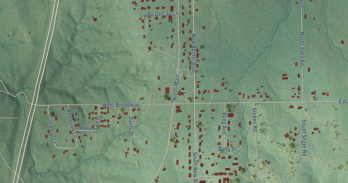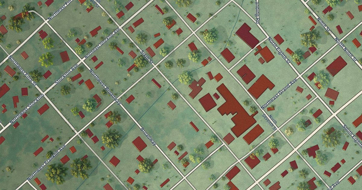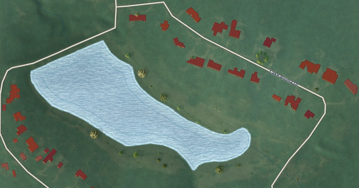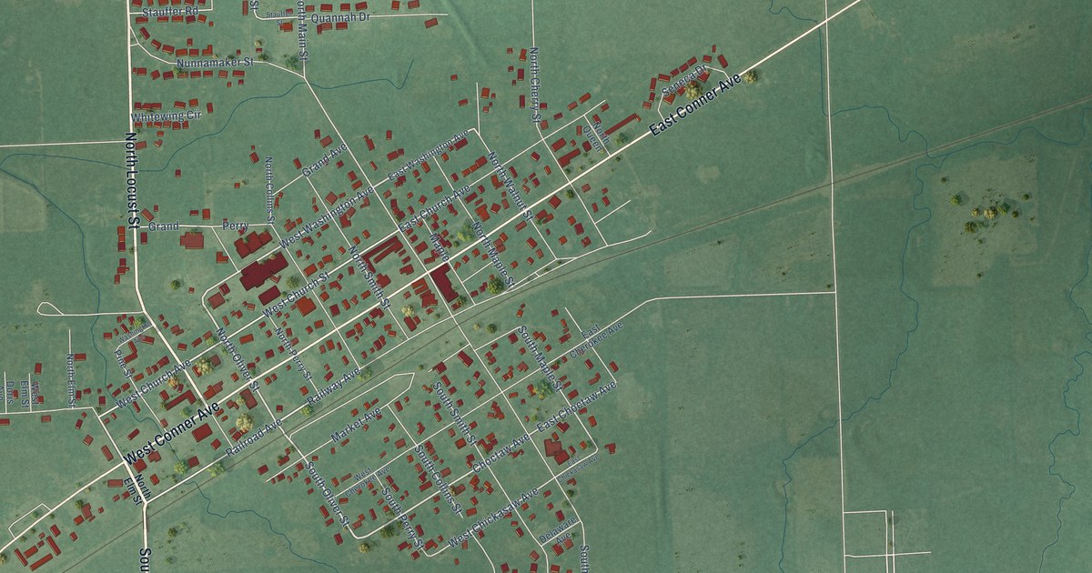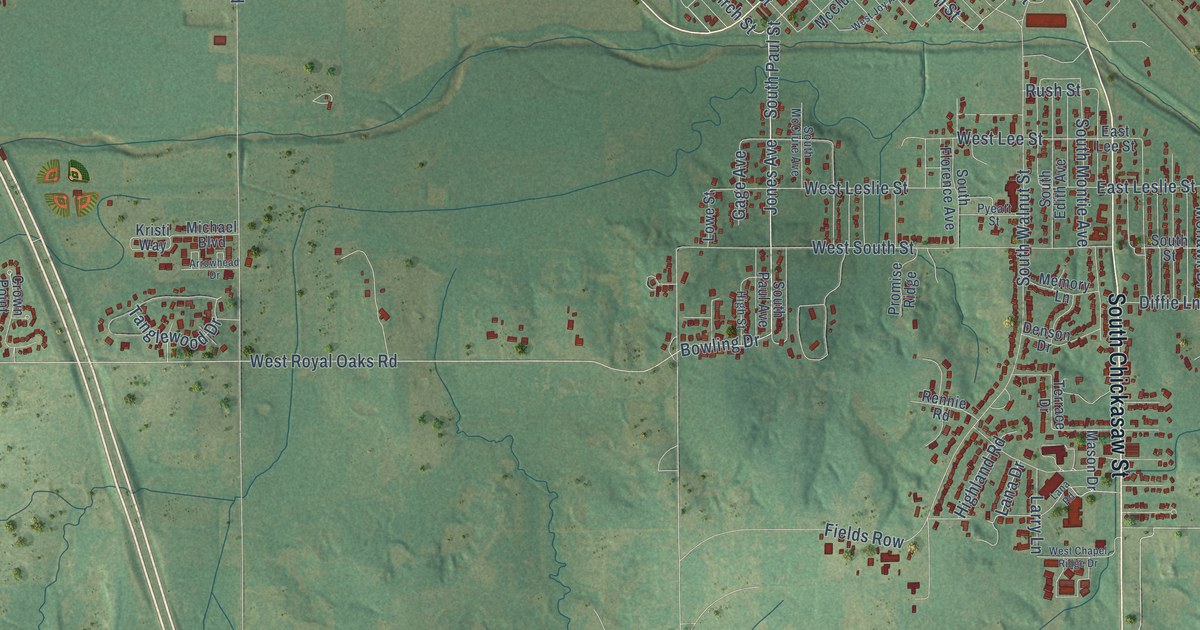
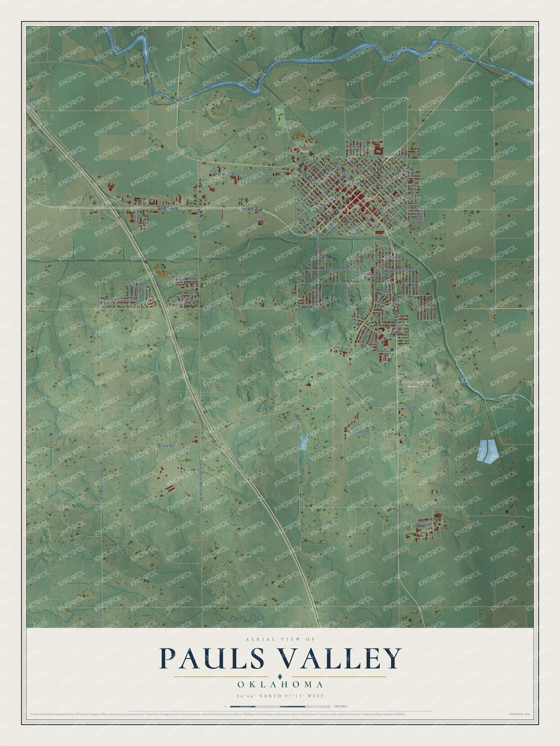
This beautifully detailed map of Pauls Valley, Oklahoma was created in 2026 using aerial imagery combined with modern topographical, census, street and landmark data. It's a modern aerial view of Pauls Valley in Garvin County, Oklahoma, that combines modern data with a vintage aesthetic. The roads feature printed names, and if you look closely you can find your exact house accurately shown in its correct location.
Explore an aerial view of Pauls Valley, Oklahoma
On this map you'll find Pauls Valley City Hall, Mount Olivet Cemetery, Wacker Park, South Chickasaw Street, Grant Avenue, West Grant Avenue, East Grant Avenue, North Ash Street, South Earl Street, East Wagner Avenue, North Chickasaw Street, Jones Avenue, and more. Each red shape is a building, so zoom in on the preview and look for yours.
Here is a piece of Pauls Valley history, in the words of the record. The Oklahoma Historical Society puts it this way: "Pauls Valley was settled by Smith Paul, a North Carolinian and an intermarried citizen of the Chickasaw Nation."
Pauls Valley is a city in Garvin County.
Take a closer look at the Pauls Valley map
Names on this map
These names are printed on this map.
Places: Pauls Valley City Hall, Mount Olivet Cemetery and Wacker Park.
Streets and roads: South Chickasaw Street, Grant Avenue, West Grant Avenue, East Grant Avenue, North Ash Street, South Earl Street, East Wagner Avenue, North Chickasaw Street, Jones Avenue, South Paul Street, North Pecan Street, Bowling Drive.
More street names, A to Z
Airline Road, Airport Industrial Road, Airport Road, Arrowhead Drive, Ballard Road, Bethlehem Road, Choctaw Avenue, Christine Street, Crown Point, Denson Drive, Diffie Lane, East Avenue, East Bradley Avenue, East Charles Avenue, East Gardner Street, East Lee Street, East Leslie Street, East North Street, Enterprise Boulevard, Farm Road, Fields Row, Forest Street, Gage Avenue, Geronimo Lane, Highland Road, High Street, Hill Avenue, Humphrey Road, Indian Meridian Road, Jessica Way, Klondike Drive, Klondike Road, Kristi Way, Lana Drive, Lana Road, Larry Lane, Lowe Street, Mason Drive, Memory Lane, Michael Boulevard, Mohawk Drive, North Birch Street, North Elm Street, North Hickory Street, North Oak Street, North Santa Fe Street, North Street, North Walnut Street, North Willow Street, Park Road, Pawnee Lane, Promise Ridge, Pyeatt Street, Rennie Road, Rush Street, Ruth Circle, Seminole Drive, South Ash Street, South Cherry Street, South Dogwood Drive, South Edith Avenue, South Florence Avenue, South Indian Meridian Road, South Kerr Avenue, South Locust Street, South McClure Avenue, South Montie Avenue, South Paul Avenue, South Santa Fe Street, South Street, South Walnut Street, South Willow Street, Tanglewood Drive, Terrace Drive, Wacker Road, West Avenue, West Bradley Avenue, West Chapel Ridge Drive, West Joy Avenue, West Lee Street, West Leslie Street, West McClure Avenue, West Royal Oaks Road, West South Street, West Tennessee Avenue, Wildwood North.
Created by KNOWOL in 2026. The buildings are small red shapes, the roads carry their printed names, and shaded relief shows the shape of the land. The title panel reads "AERIAL VIEW OF PAULS VALLEY OKLAHOMA" with 34°44' NORTH 97°13' WEST.
It suits a den, a classroom or a front hall, and it makes a gift for anyone with Pauls Valley roots. Open the preview and find the block you know. See sizes and frames for the Pauls Valley map.