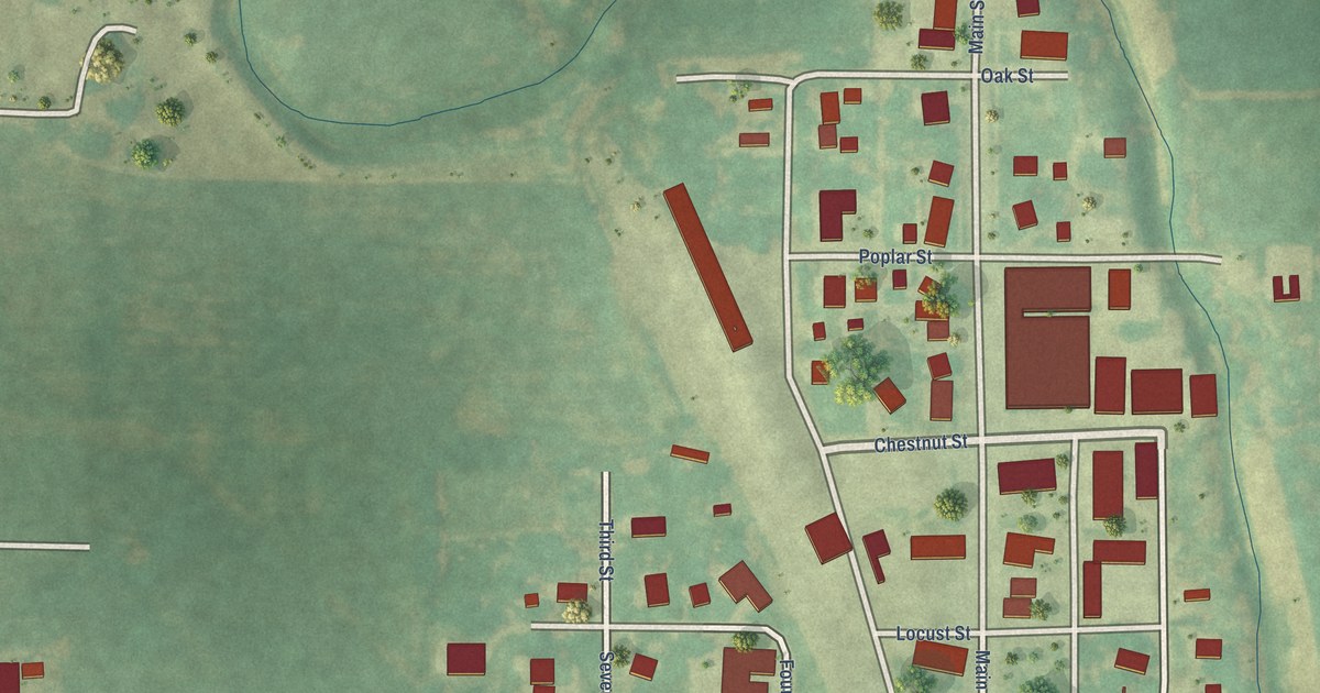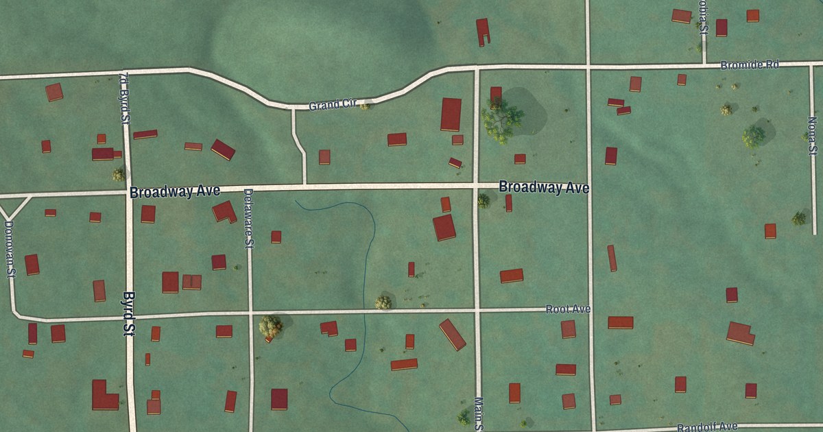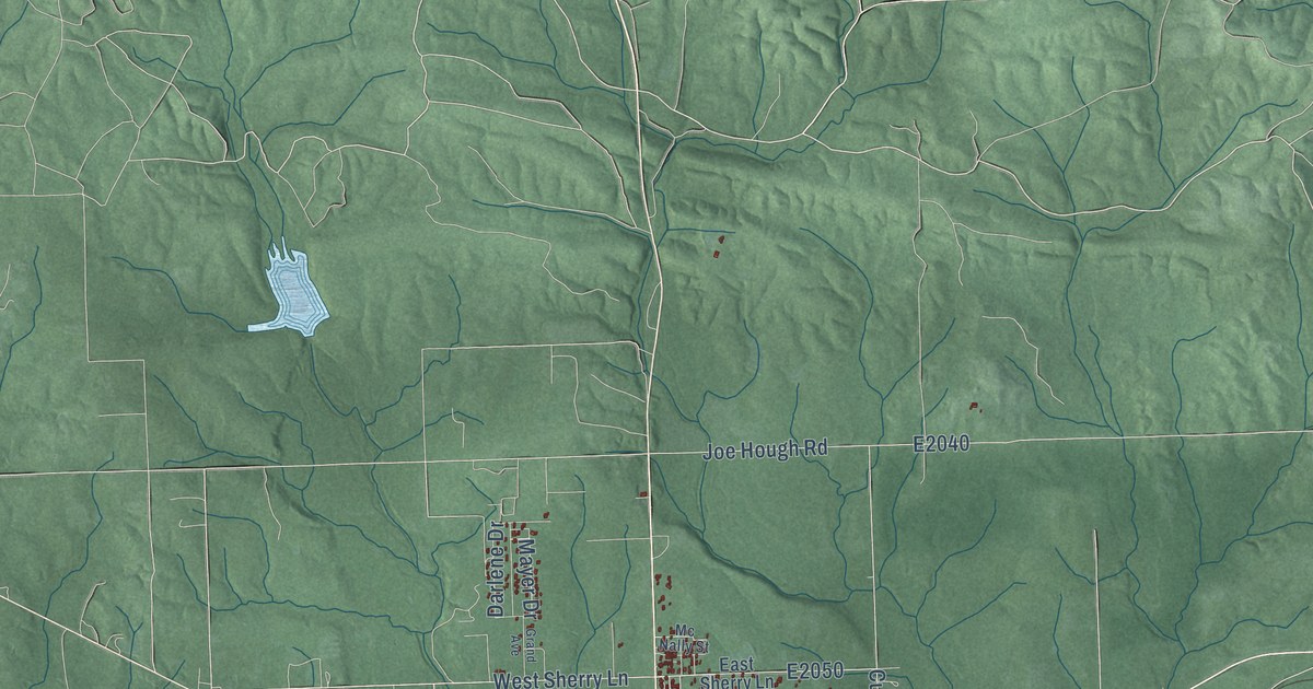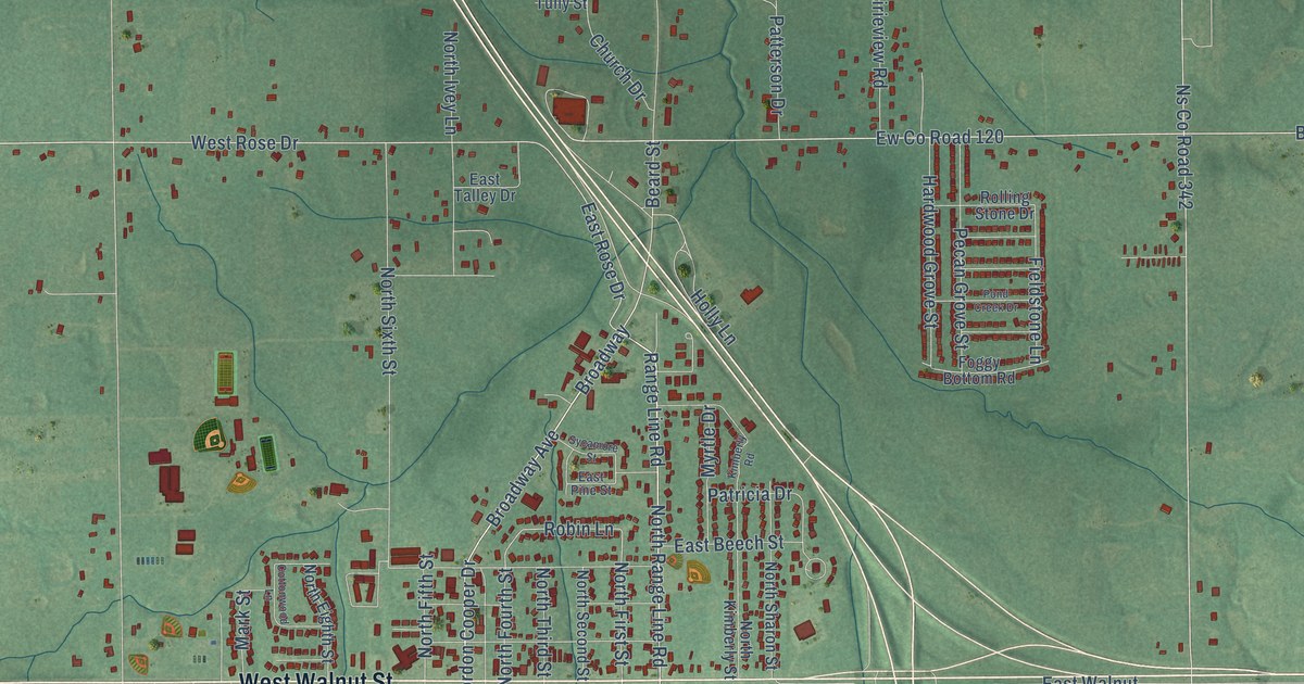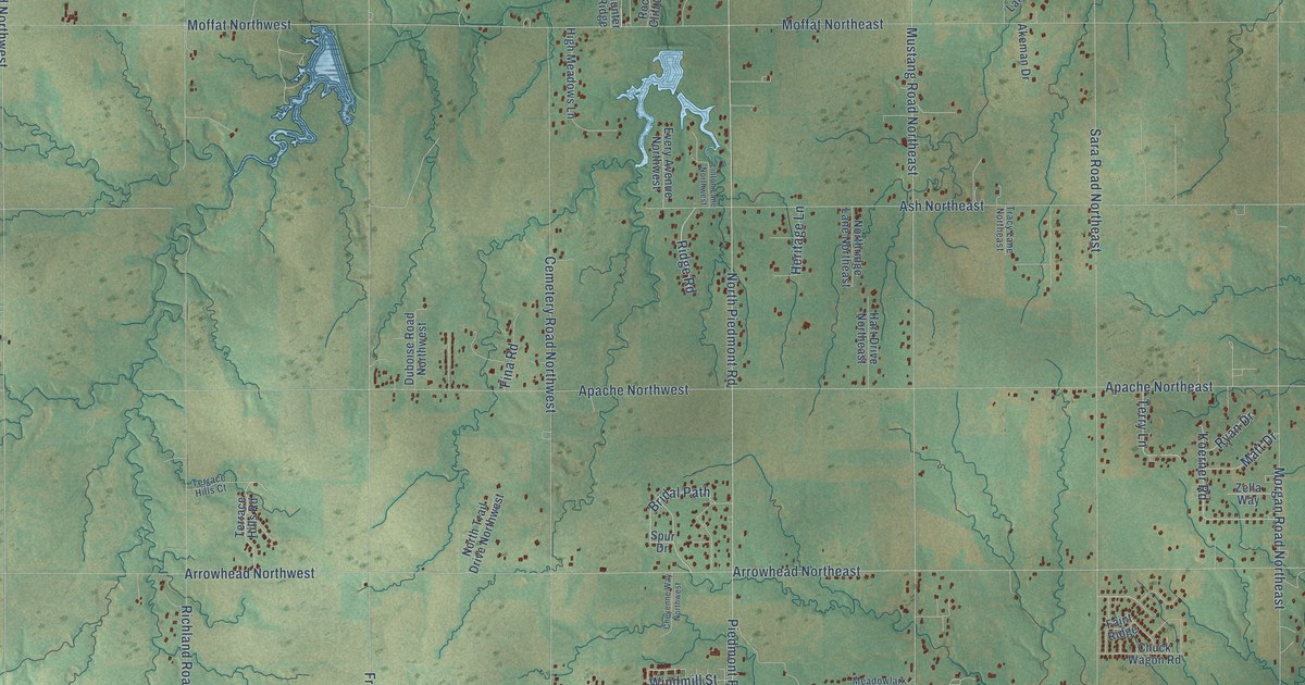
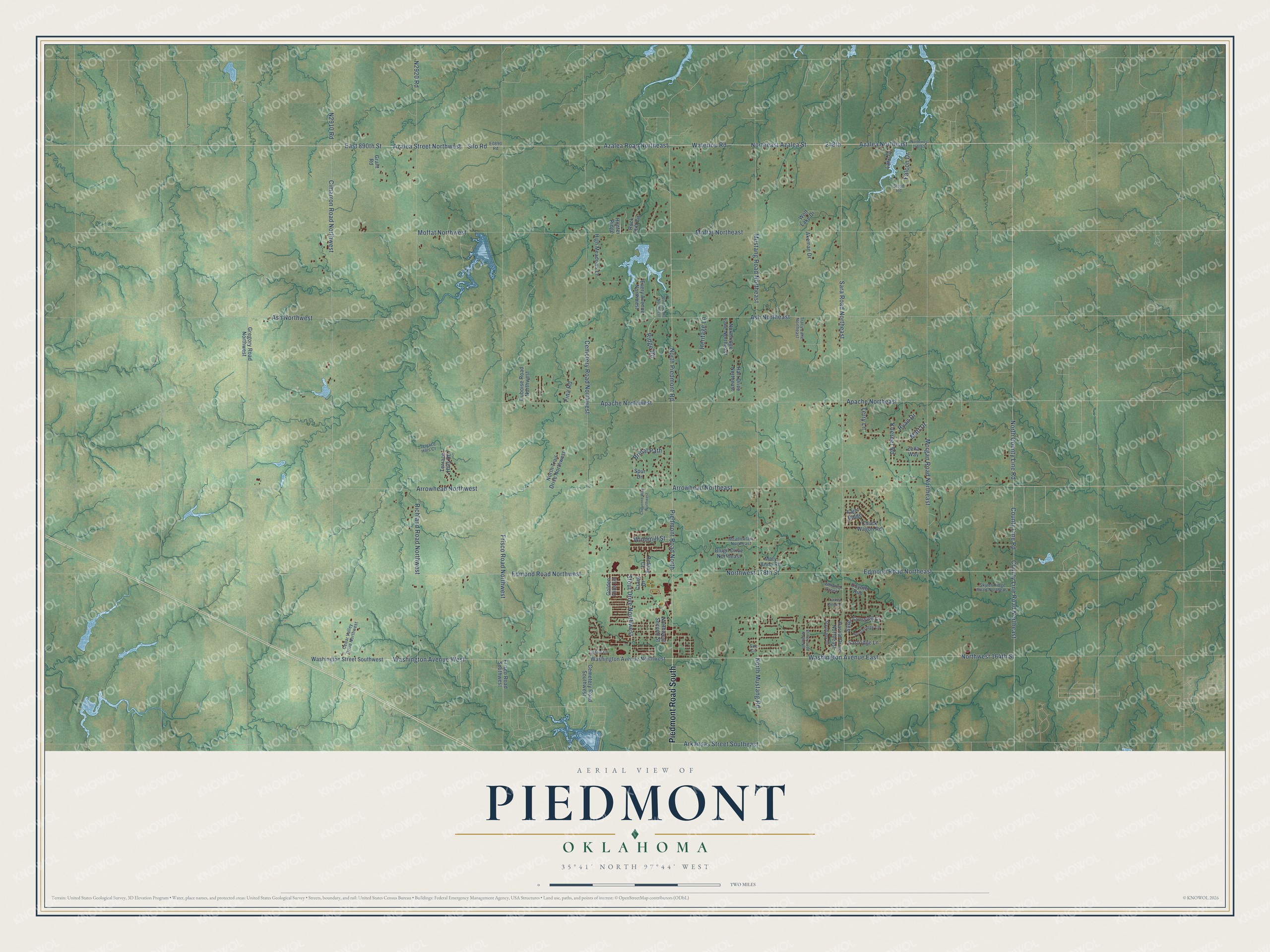
This beautifully detailed map of Piedmont, Oklahoma was created in 2026 using aerial imagery combined with modern topographical, census, street and landmark data. It's a modern aerial view of Piedmont in Canadian County, Oklahoma, that combines modern data with a vintage aesthetic. The roads feature printed names, and if you look closely you can find your exact house accurately shown in its correct location.
Explore an aerial view of Piedmont, Oklahoma
On this map you'll find Piedmont Road South, North Piedmont Road, County Line Road, Piedmont Road North, Azalea Street Northwest, Silo Road, Azalea Road Northeast, Azalea Northeast, Waterloo Road, East 890th Street, Northeast Azalea Street, Frisco Road Northwest, and more. Each red shape is a building, so zoom in on the preview and look for yours.
Every town has a first chapter, and Piedmont is no exception. The record at okhistory.org puts it this way: "Numerous residents of nearby settlements moved to Piedmont in order to have rail access."
Piedmont is a city in Canadian County.
Take a closer look at the Piedmont map
Names on this map
These names are printed on this map.
Streets and roads: Piedmont Road South, North Piedmont Road, County Line Road, Piedmont Road North, Azalea Street Northwest, Silo Road, Azalea Road Northeast, Azalea Northeast, Waterloo Road, East 890th Street, Northeast Azalea Street, Frisco Road Northwest.
More street names, A to Z
248th, Akeman Drive, Apache Northeast, Apache Northwest, Arkansas Street Southeast, Arrowhead Northeast, Arrowhead Northwest, Ash Northeast, Ash Northwest, Blugil Drive Northeast, Bridal Path, Carrie Lane, Cedar Valley Drive Northwest, Cemetery Road Northwest, Cemetery Road Southwest, Cheyenne Way Northwest, Chuck Wagon Road, Cimarron Road Northwest, County Line Road Northeast, Coyote Run, Craig Drive, Duboise Road Northwest, Eastridge Lane, Edmond Road Northeast, Edmond Road Northwest, Every Avenue Northwest, Faint Ridge, Falcon Drive, Fina Road, Frisco Road Southwest, Golden Hills Lane, Grant Road, Gregory Road Northwest, Harold Drive Northeast, Hart Drive Northeast, Heritage Lane, High Meadows Lane, Hunter Ridge, Koerner Road, Lake Drive, Linton Lane Northwest, Mary Anna Road, Matt Drive, Meadowlark Northeast, Moffat Northeast, Moffat Northwest, Morgan Road Northeast, Mustang Road Northeast, North County Line Road, North Mustang Road, Northridge Lane Northeast, North Trail Drive Northwest, Northwest 164th Street, Northwest 178th Street, Northwest 248th Street, Northwest Second Street, Richland Road Northwest, Ridge Road, Rock Cliff Circle, Rolling Court, Ryan Drive, Sara Road Northeast, Shirley Lane Northeast, Silver Crossing Circle, Skyler Ridge Road Northeast, Southridge Lane, Spur Drive, Stephany Drive, Stout Drive Northwest, Strod Road, Sue Circle, Terrace Hills Court, Terrace Hills Road, Terry Lane, Tracy Lane Northeast, Turkey Creek Lane, Washington Avenue East, Washington Avenue Northwest, Washington Avenue West, Washington Street Southwest, Winding Creek, Windmill Street, Wolf Lake Drive, Zella Way.
Created by KNOWOL in 2026. The buildings are small red shapes, the roads carry their printed names, and shaded relief shows the shape of the land. The title panel reads "AERIAL VIEW OF PIEDMONT OKLAHOMA" with 35°41' NORTH 97°44' WEST.
Hang it in the hallway, the office or the cabin, or give it to someone who left Piedmont and still calls it home. Open the preview and look for a street you know. See sizes and frames for the Piedmont map.