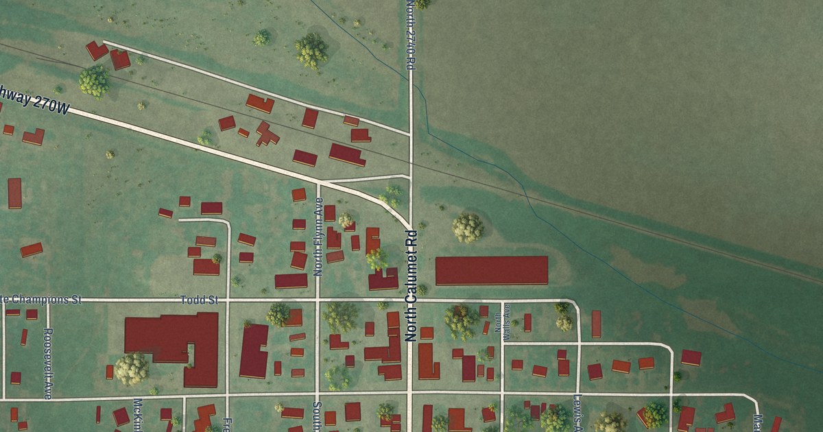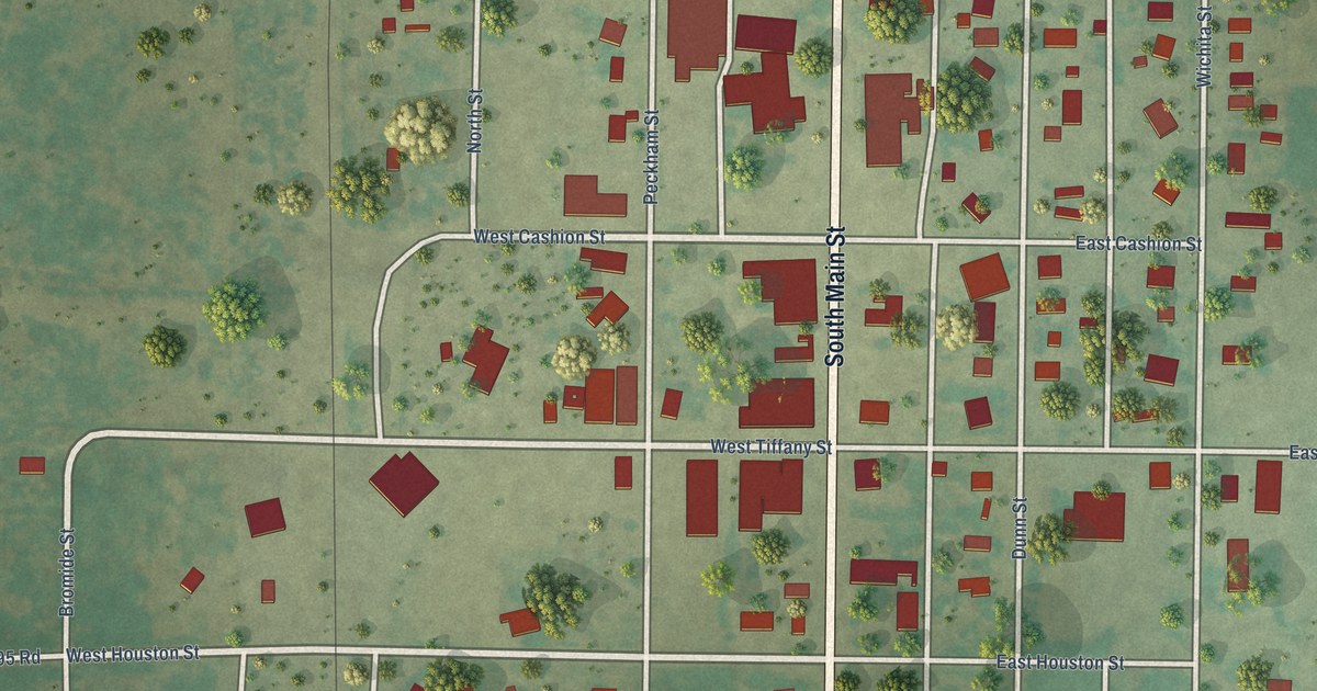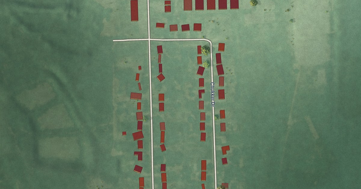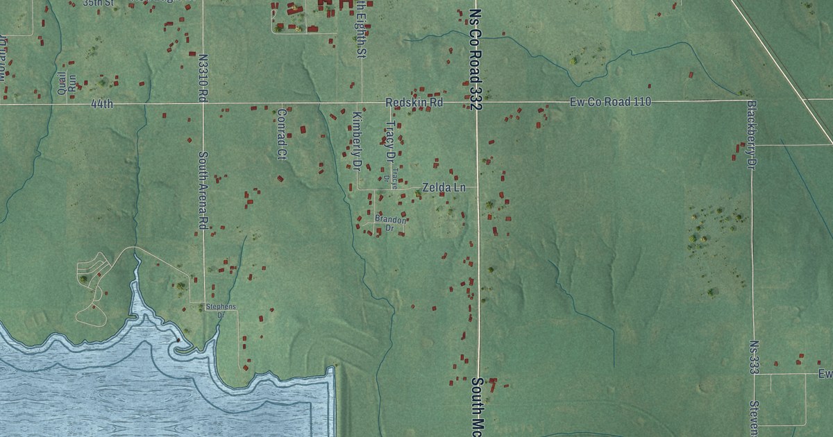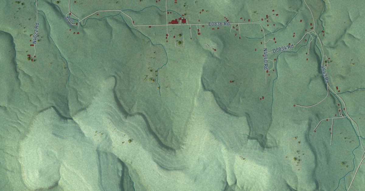
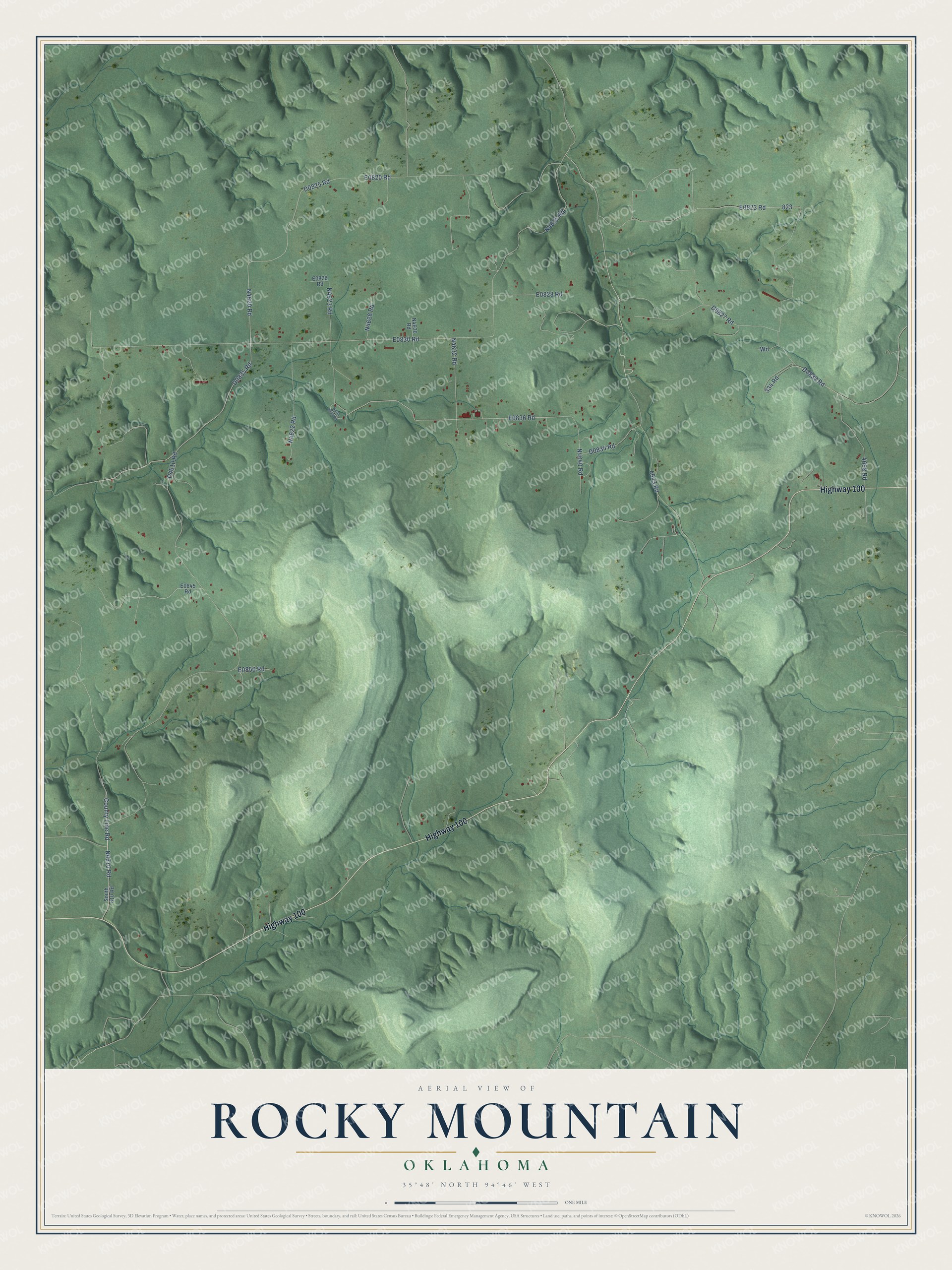
This beautifully detailed map of Rocky Mountain, Oklahoma was created in 2026 using aerial imagery combined with modern topographical, census, street and landmark data. It's a modern aerial view of Rocky Mountain in Adair County, Oklahoma, that combines modern data with a vintage aesthetic. The roads feature printed names, and if you look closely you can find your exact house accurately shown in its correct location.
Explore an aerial view of Rocky Mountain, Oklahoma
On this map you'll find Highway 100, N4620 Road, D0835 Road, D0825 Road, E0836 Road, County Line Road, N4610 Road, E0823 Road, E0830 Road, D4610 Road, N4635 Road, D0827 Road, and more. Each red shape is a building, so zoom in on the preview and look for yours.
Rocky Mountain has a story worth telling. Wilma Mankiller, principal chief of the Cherokee Nation and the first woman to lead a major tribe, grew up on Mankiller Flats, 160 acres in Adair County deeded to her grandfather in 1907. There were no school buses, so the Mankiller children walked three miles each way to the Rocky Mountain School. That's from the Biography Today magazine.
Rocky Mountain is a community in Adair County. The Census Bureau counted 471 people here in 2020.
Take a closer look at the Rocky Mountain map
Names on this map
These names are printed on this map.
Streets and roads: Highway 100, County Line Road, 4643 Road, 4658 Road, 334 Road, South 610 Road and North 4623 Road.
See it on a wall
The Rocky Mountain map as a framed print. Swipe for more.


Created by KNOWOL in 2026. The buildings are small red shapes, the roads carry their printed names, and shaded relief shows the shape of the land. The title panel reads "AERIAL VIEW OF ROCKY MOUNTAIN, OKLAHOMA" with 35°48' NORTH 94°46' WEST.
It looks right in a kitchen, an office or a den, and it's a gift for anyone who grew up in Rocky Mountain or moved away. Open the preview and find your street. See sizes and frames for the Rocky Mountain map.