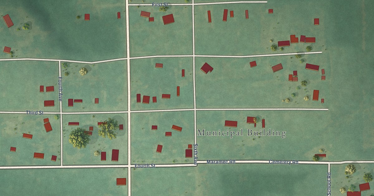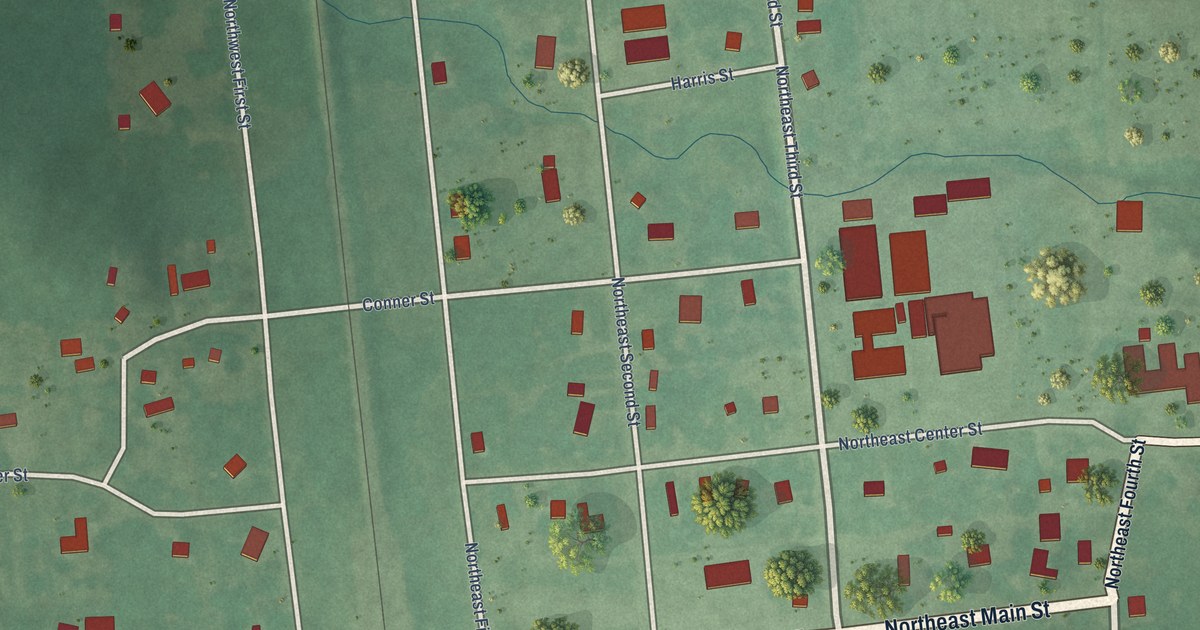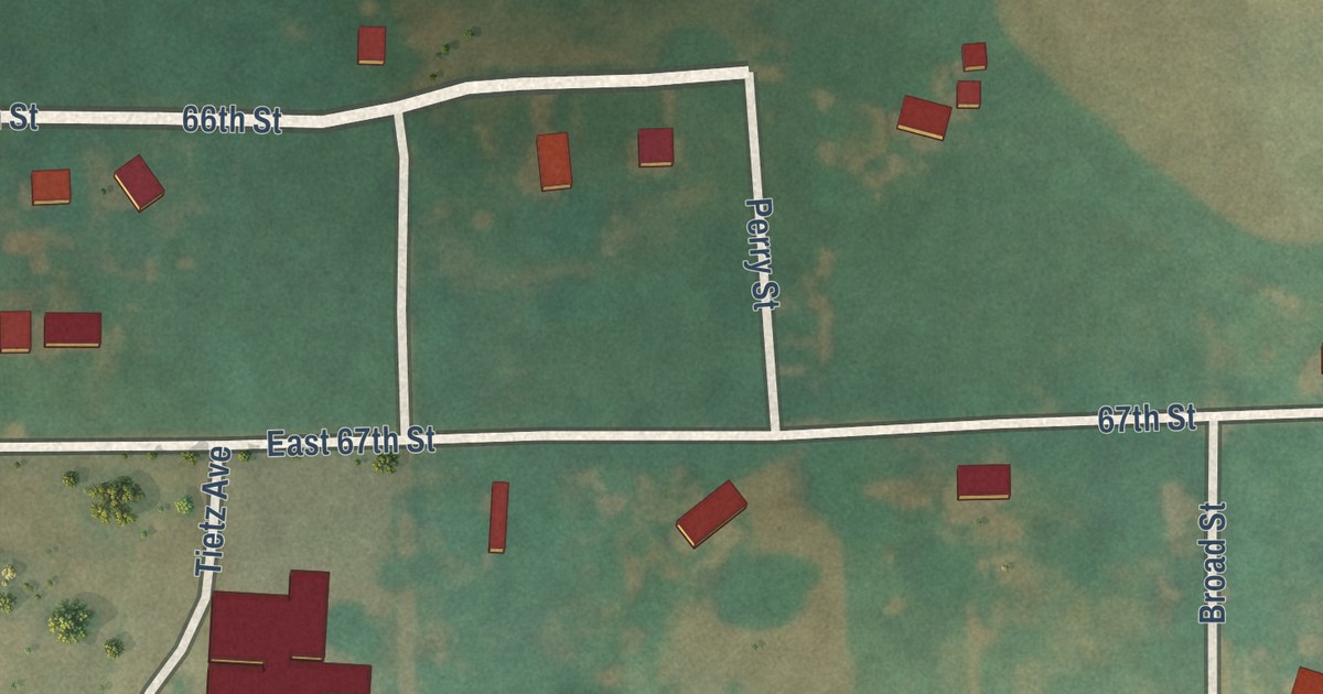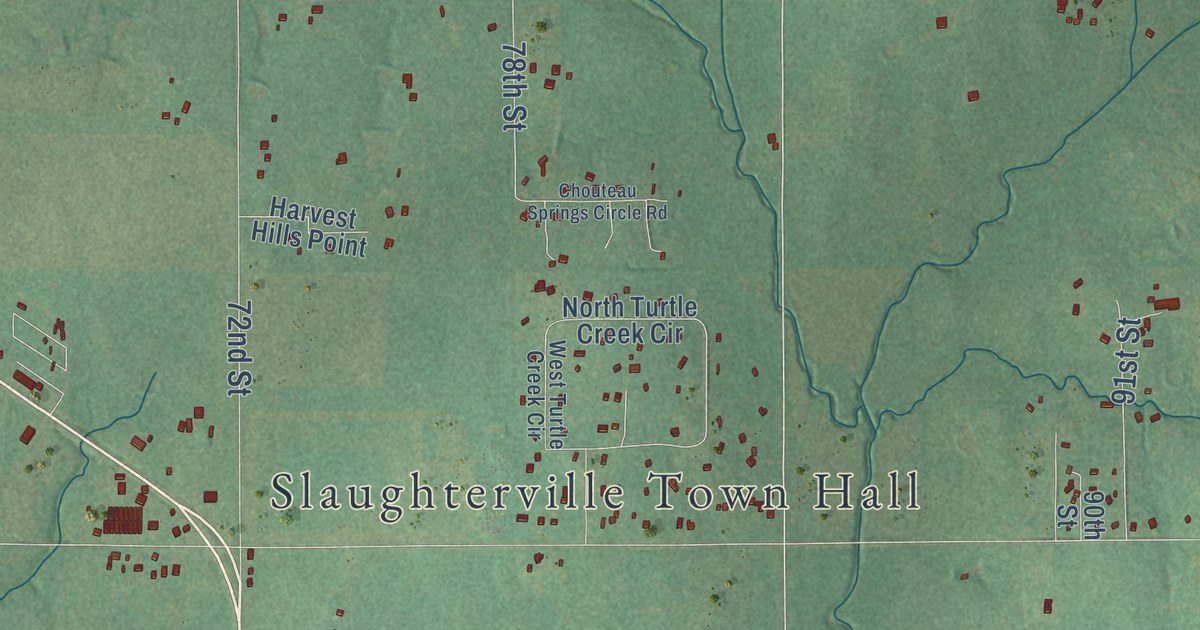
This beautifully detailed map of Slaughterville, Oklahoma was created in 2026 using aerial imagery combined with modern topographical, census, street and landmark data. It’s a one-of-a-kind view of Slaughterville that combines accurate data with a vintage aesthetic. The map shows every building in its true location, many of the roads carry their names, and the shaded topographic relief shows the shape of the land.
Explore an aerial view of Slaughterville, Oklahoma
On the map you’ll find Slaughterville Town Hall, Maguire, and Willow View, along with Etowah Road, East Etowah Road, 60th Street, 84th Street, 96th Avenue Southeast, Red Rock Road, 120th Street, Slaughterville Road, 96th Street, and more. If you look closely you can even find your house accurately drawn in its correct location. Zoom in on the preview to look for yours.
Did you know this about Slaughterville, Oklahoma?
From the Oklahoma Historical Society: "Located in Cleveland County eight miles south of Noble, Slaughterville lies on State Highway 77. The name honors Jim Slaughter, who operated a store in the area."
Slaughterville is a town in Cleveland County.
Take a closer look at the Slaughterville map
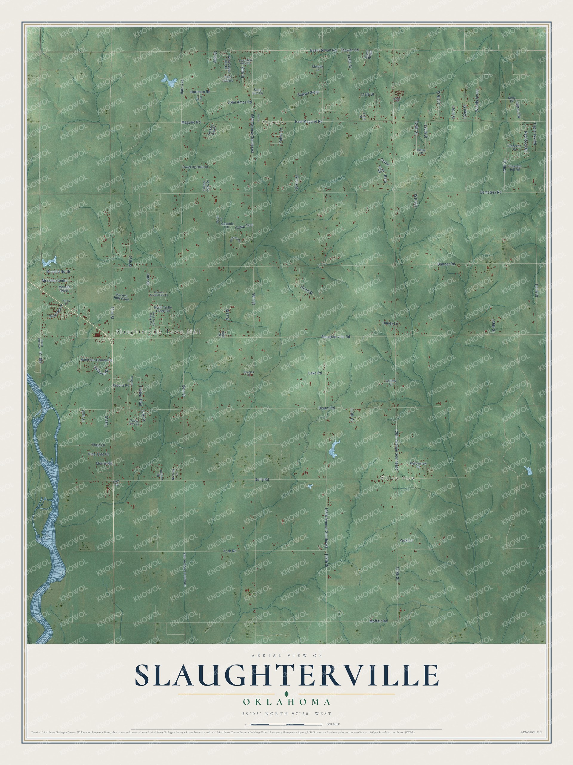
Street and place names on the Slaughterville, Oklahoma map
These names are printed on the map of Slaughterville, Oklahoma.
Places: Slaughterville Town Hall, Maguire and Willow View.
Streets and roads: Etowah Road, East Etowah Road, 60th Street, 84th Street, 96th Avenue Southeast, Red Rock Road, 120th Street, Slaughterville Road, 96th Street, 120th Avenue Southeast, 108th Street, Banner Road.
More street names, A to Z
67th Street, 71st Street, 72nd Street, 73rd Street, 75th Street, 77th Street, 78th Street, 84th Avenue, 84th Avenue Southeast, 87th Avenue, 89th Street, 90th Street, 91st Street, 94th Street, 97th Street, 102nd Street, 103rd Street, 108th Avenue Southeast, 112th Street, 113th Street, 114th Street, 117th Street, 123rd Street, 124th Street, 125th Street, 127th Street, 130th Street, 132nd Street, 135th Street, 139th Street, 144th Street, Ashton Drive, Aspen Ridge, Bryant Road, Cedar Trce, Cemetery Road, Chouteau Springs Circle Road, Collins Court, Corlet, Douglas Lane, Duffy Road, East Cedar Hills Est, East Maguire Road, Geannie Drive, Golden Oaks Road, Hailey Lane, Hartman Road, Hartzog Hill, Harvest Hills Point, Hickory Creek, Hilltop Heights, Hilltop Road, John Amos Road, Kara, Kara Road, Kelly Drive, Kristy Lane, Lake Road, Maguire Road, Melody Lane, Mocella Center, Mocella North, Mocella South, Moffatt Road, Morris Road, Nicolas Lane, North Sun Country Road, North Turtle Creek Circle, Peters Drive, Pine Tree Drive, Pleasant Hill Road, Rebecca Road, Roberts Court, Roberts Road, Scott Lane, Song Bird Lane, South 60th Avenue, Sunburst Drive, Sunset Ridge, Theo Lane, Timber Oaks Drive, Timber Trail, Towering Oaks Drive, Triple Xxx Road, Twin Cedars, Village Drive, West Cedar Hills Drive, West Turtle Creek Circle, Willowview Road, Windridge Drive, Woods Acres, York Lane, York Road.
See the Slaughterville, Oklahoma map on a wall
The Slaughterville map as an 18 x 24 inch print in a black frame.

This beautifully detailed map of Slaughterville makes an attractive addition to your office, library, or den, and it can even be used to teach children the geography and history of the area. It also makes a great gift for anyone with Slaughterville roots. When you’re done exploring, click here to get your copy of the Slaughterville map.