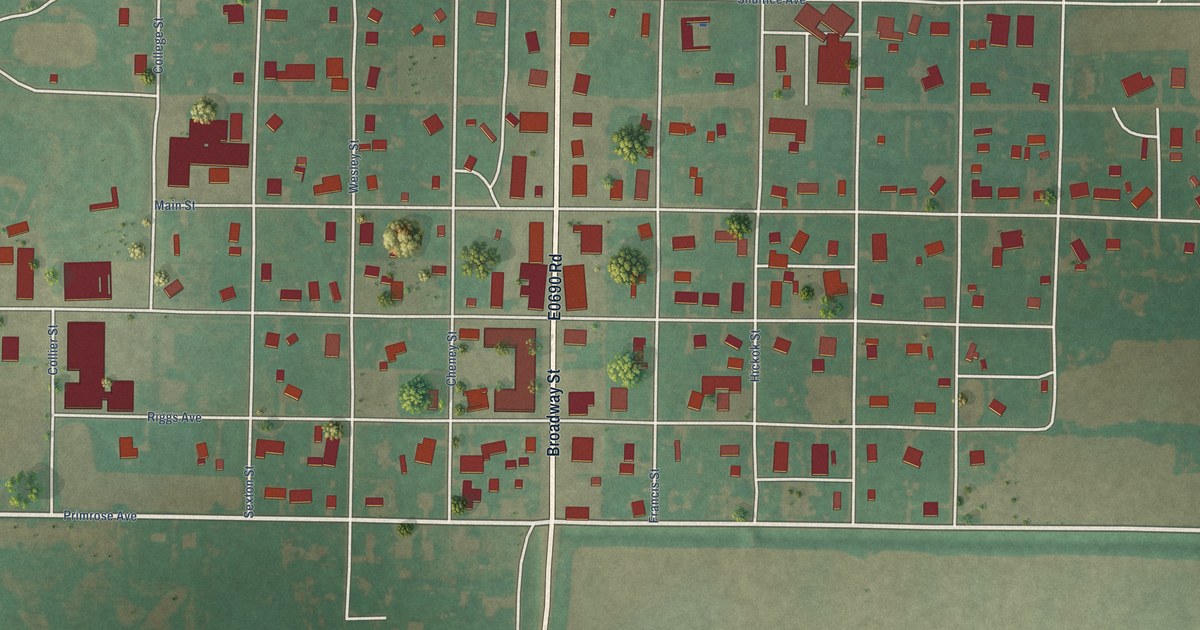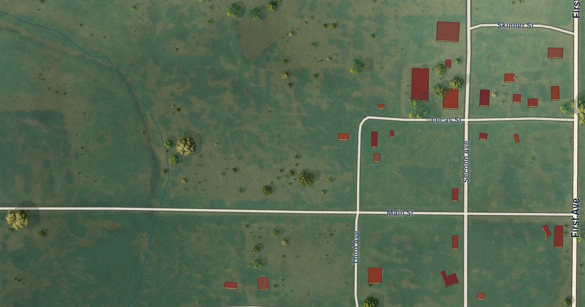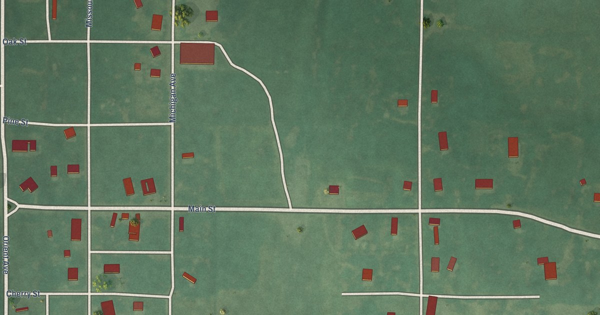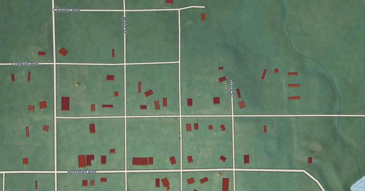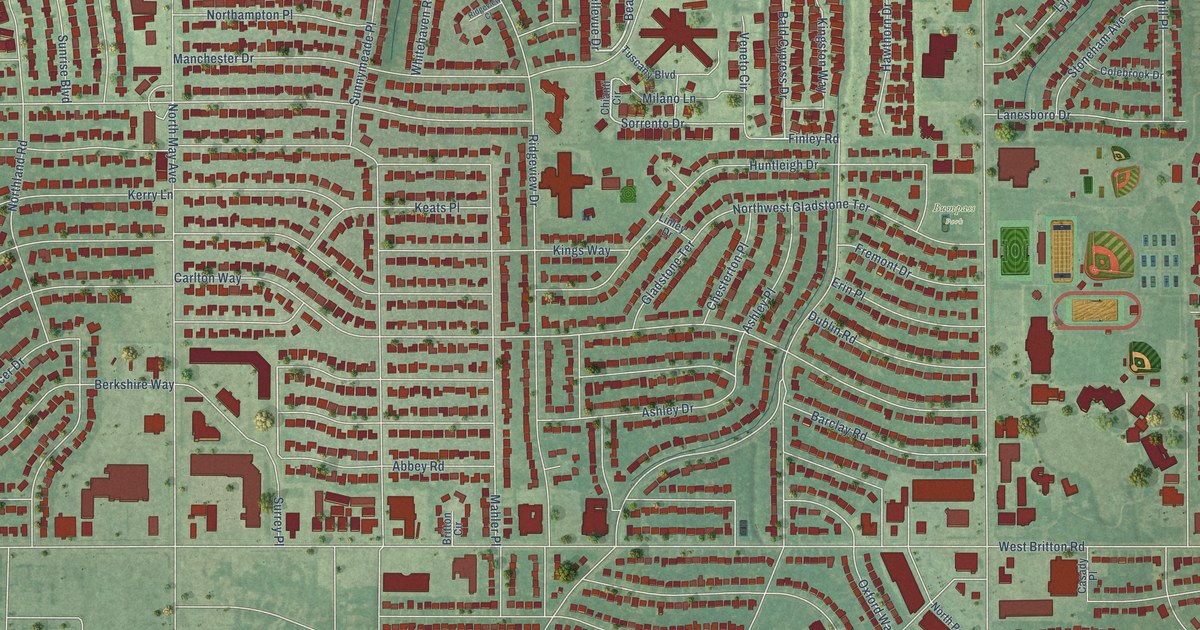
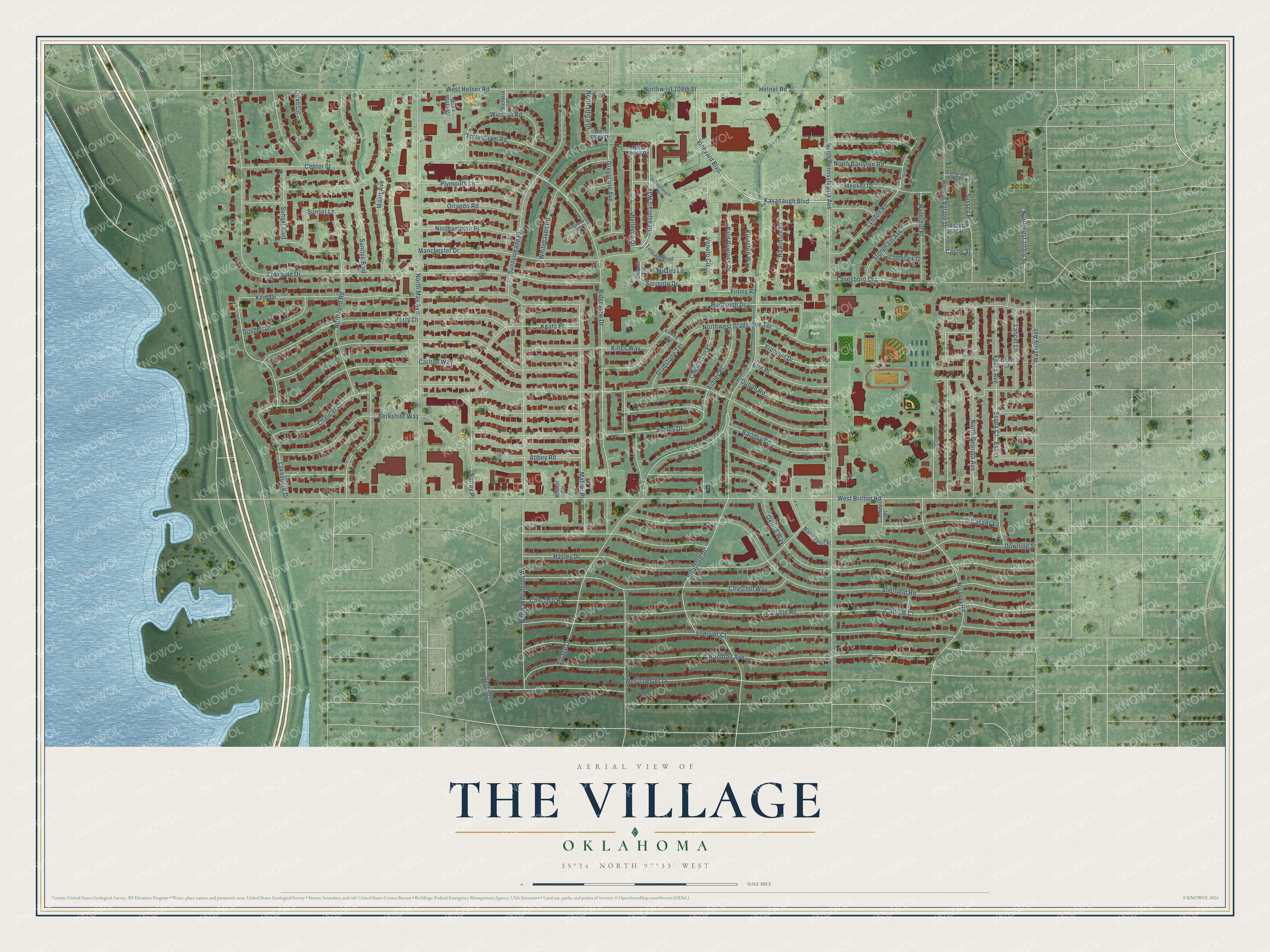
This beautifully detailed map of The Village, Oklahoma was created in 2026 using aerial imagery combined with modern topographical, census, street and landmark data. It's a modern aerial view of The Village in Oklahoma County, Oklahoma, that combines modern data with a vintage aesthetic. The roads feature printed names, and if you look closely you can find your exact house accurately shown in its correct location.
Explore an aerial view of The Village, Oklahoma
On this map you'll find Duffner Park, Bumpass Park, Vineyard Boulevard, Nichols Road, Beaujolais Way, Essex, Carlisle Court, Surrey Place, Finley Road, West Hefner Road, West Britton Road, Carlton Way, and more. Each red shape is a building, so zoom in on the preview and look for yours.
The Village has a story worth telling. The City of The Village puts it this way: "The Village was incorporated as a town in 1950 and later as a city in 1959. Residents voted to incorporate because of the fear that Oklahoma City would move to annex the area."
The Village is a city in Oklahoma County.
Take a closer look at The Village map
Names on this map
These names are printed on this map.
Places: Duffner Park and Bumpass Park.
Streets and roads: Vineyard Boulevard, Nichols Road, Beaujolais Way, Essex, Carlisle Court, Surrey Place, Finley Road, West Hefner Road, West Britton Road, Carlton Way, North Pennsylvania Avenue, Huntleigh Drive.
More street names, A to Z
Abbey Road, Andover Court, Ashley Drive, Ashley Place, Bald Cypress Drive, Barclay Road, Bellevue Drive, Berkshire Way, Brighton Avenue, Britton Circle, Cambridge Row, Carlisle Road, Casady Lane, Casady Place, Castle Street, Center Street, Champagne Boulevard, Chaucer Drive, Chesterton Place, Chianti Circle, Churchill Place, Churchill Way, Colebrook Drive, Downing Street, Dublin Road, Erin Place, Essex Avenue, Essex Court, Fremont Drive, Gladstone Terrace, Goshen Drive, Grant Street, Greystone Avenue, Guilford Lane, Hasley Drive, Haverhill Place, Hawthorn Drive, Hefner Road, Hidden Village Drive, Kavanaugh Boulevard, Keats Place, Kent Drive, Kerry Lane, Kingston Way, Kings Way, Lakeshore Drive, Lakeside Drive, Lancet Lane, Lanesboro Drive, Linley Drive, Lyndon Road, Mahler Place, Major Avenue, Manchester Drive, Meeker Drive, Milano Lane, Northampton Place, North Barryton Road, North Georgia Avenue, Northland Road, North May Avenue, North Penn Place, North Utica Drive, North Wellington Avenue, Northwest 103rd Street, Northwest 108th Street, Northwest Gladstone Terrace, Orlando Road, Oxford Way, Plymouth Lane, Quail Circle, Quail Plaza Drive, Ridgeview Court, Ridgeview Drive, Sheffield Road, Sorrento Drive, Stoneham Avenue, Stratford Drive, Sunnymeade Place, Sunrise Boulevard, Sunset Boulevard, Sunset Lane, Sussex Place, Tottingham Road, Tuscany Boulevard, Veneto Circle, Victoria Place, Victoria Street, Village Drive, Waverly Avenue, Westchester Drive, West Utica Drive, Whitehaven Road, Wine Press Road, Winston Road.
See it on a wall
The The Village map as a framed print. Swipe for more.


Created by KNOWOL in 2026. The buildings are small red shapes, the roads carry their printed names, and shaded relief shows the shape of the land. The title panel reads "AERIAL VIEW OF THE VILLAGE OKLAHOMA" with 35°34' NORTH 97°33' WEST.
It looks right in a kitchen, an office or a den, and it's a gift for anyone who grew up in The Village or moved away. Open the preview and find your street. See sizes and frames for The Village map.