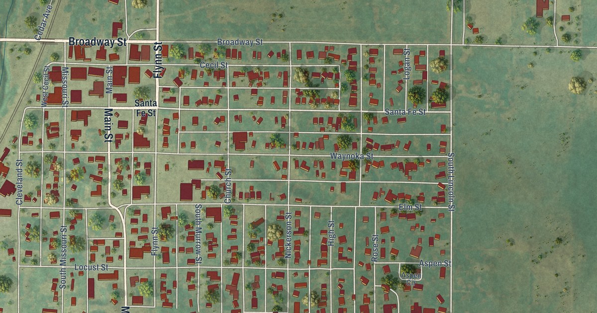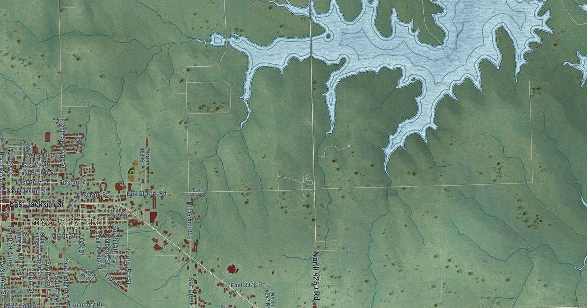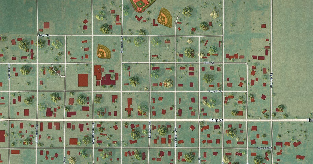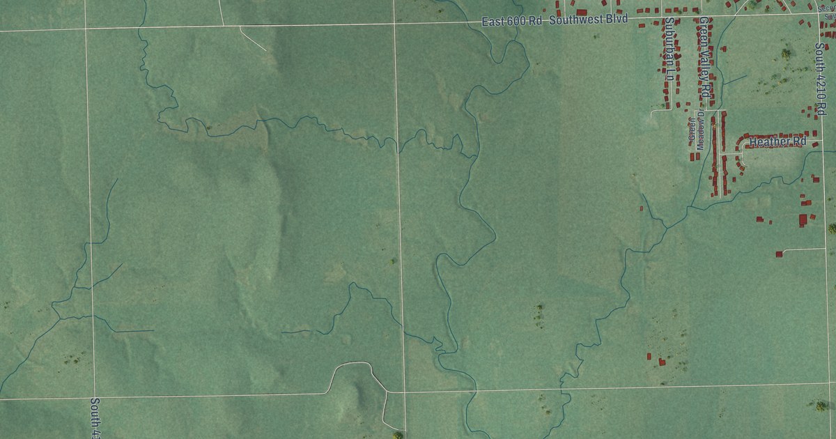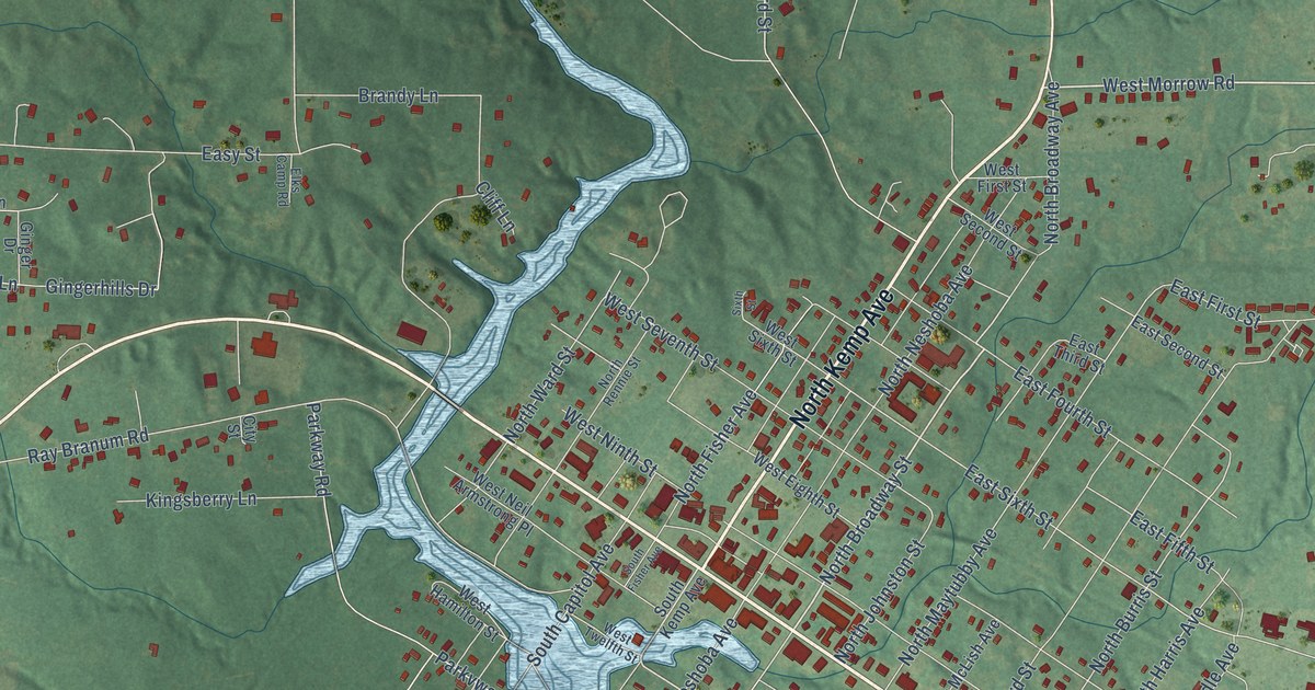
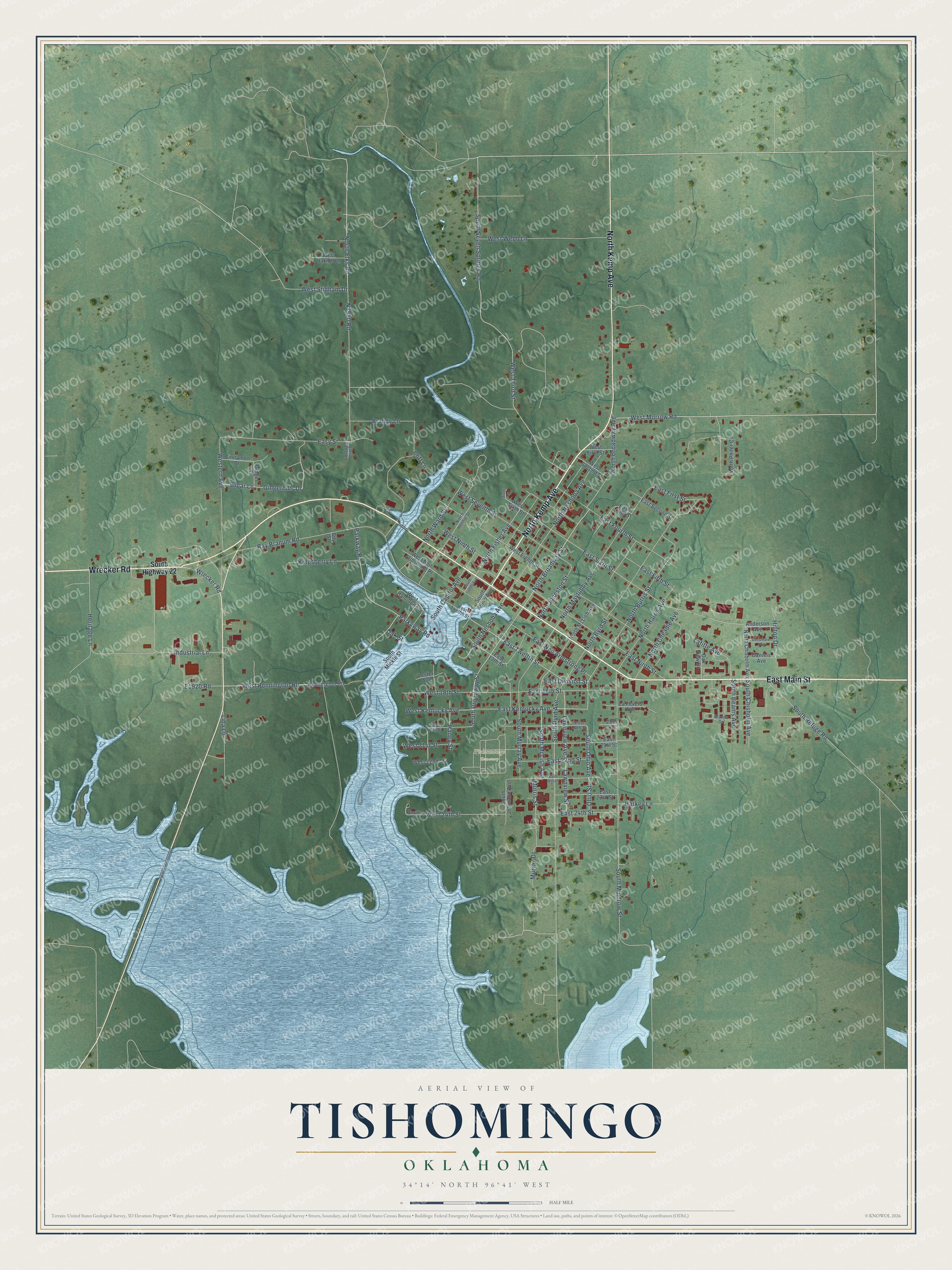
This beautifully detailed map of Tishomingo, Oklahoma was created in 2026 using aerial imagery combined with modern topographical, census, street and landmark data. It's a modern aerial view of Tishomingo in Johnston County, Oklahoma, that combines modern data with a vintage aesthetic. The roads feature printed names, and if you look closely you can find your exact house accurately shown in its correct location.
Explore an aerial view of Tishomingo, Oklahoma
On this map you'll find Tishomingo Cemetery, North Kemp Avenue, East Main Street, Wrecker Road, West Morrow Road, North Broadway Street, East Twelfth Street, East Division Street, East Kentucky Avenue, South McLish Avenue, West Pennington Road, South Ohio Avenue, and more. Each red shape is a building, so zoom in on the preview and look for yours.
Every town has a first chapter, and Tishomingo is no exception. The record at okhistory.org puts it this way: "Named for Tishomingo, a Chickasaw Indian chief who died on the Trail of Tears in 1838, the town was granted a post office on June 29, 1857."
Tishomingo is a city in Johnston County.
Take a closer look at the Tishomingo map
Names on this map
These names are printed on this map.
Places: Tishomingo Cemetery.
Streets and roads: North Kemp Avenue, East Main Street, Wrecker Road, West Morrow Road, North Broadway Street, East Twelfth Street, East Division Street, East Kentucky Avenue, South McLish Avenue, West Pennington Road, South Ohio Avenue, South Broadway Street.
More street names, A to Z
20th Lane, Anderson Avenue, Brandy Lane, Cinnamon Drive, City Street, Cliff Lane, Daniels Avenue, Densmore Avenue, East 13th Street, East 18th Street, East 20th Street, East 21st Street, East 22nd Street, East 23rd Street, East 24th Street, East Fifth Street, East First Street, East Fourth Street, East Neil Armstrong Place, East Ninth Street, East Second Street, East Sixth Street, East Third Street, East Wilson, Easy Street, Elks Camp Road, Faculty Drive, Ginger Drive, Gingerhills Drive, Haney Street, Harkey Lane, Heritage Lane, Hilltop Drive, Industrial Lane, Kingsberry Lane, La Fevers Avenue, Lafitte Avenue, Lawnview Avenue, Lawnview Street, Lester Avenue, Lida Lane, Morris Street, Murray Drive, North Broadway Avenue, North Burris Street, North Byrd Street, North Cheadle Avenue, North Chisholm Avenue, North Elks Road, North Fisher Avenue, North Harris Avenue, North Johnston Street, North Maytubby Avenue, North McLish Avenue, North Neshoba Avenue, North Phifer Circle, North Rennie Street, North Ward Street, Oak Street, Oak View Drive, Ohio Street, Parkvway Road, Parkway Road, Pennington Road, Ray Branum Road, Sixth Street, South Beams Avenue, South Byrd Avenue, South Capitol Avenue, South Chisholm Avenue, South Fisher Avenue, South Highway 22, South Johnston Avenue, South Kemp Avenue, South Mickle Street, South Muldrow Street, South Murray Avenue, South Neshoba Avenue, South Refuge Road, South Seven Springs Road, Sugar Lane, Wanda Drive, West 18th Street, West 20th Street, West 21st Street, West 22nd Street, West 24th Street, West Eighth Street, Western Avenue, West First Street, West Hamilton Street, West Kentucky Avenue, West Neil Armstrong Place, West Ninth Street, West Oakhill Lane, West Second Street, West Seventh Street, West Sixth Street, West Stidham Drive, West Third Street, West Twelfth Street, West Webb Lane.
Created by KNOWOL in 2026. The buildings are small red shapes, the roads carry their printed names, and shaded relief shows the shape of the land. The title panel reads "AERIAL VIEW OF TISHOMINGO OKLAHOMA" with 34°14' NORTH 96°41' WEST.
Hang it in the hallway, the office or the cabin, or give it to someone who left Tishomingo and still calls it home. Open the preview and look for a street you know. See sizes and frames for the Tishomingo map.