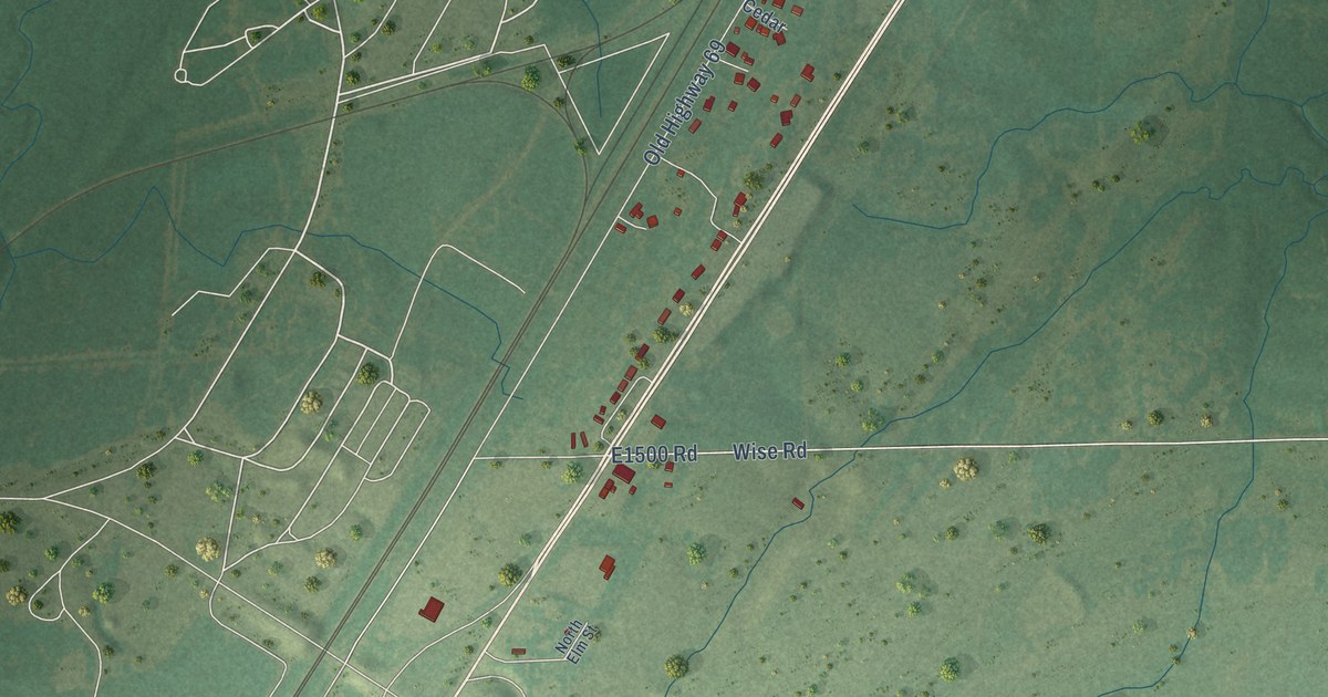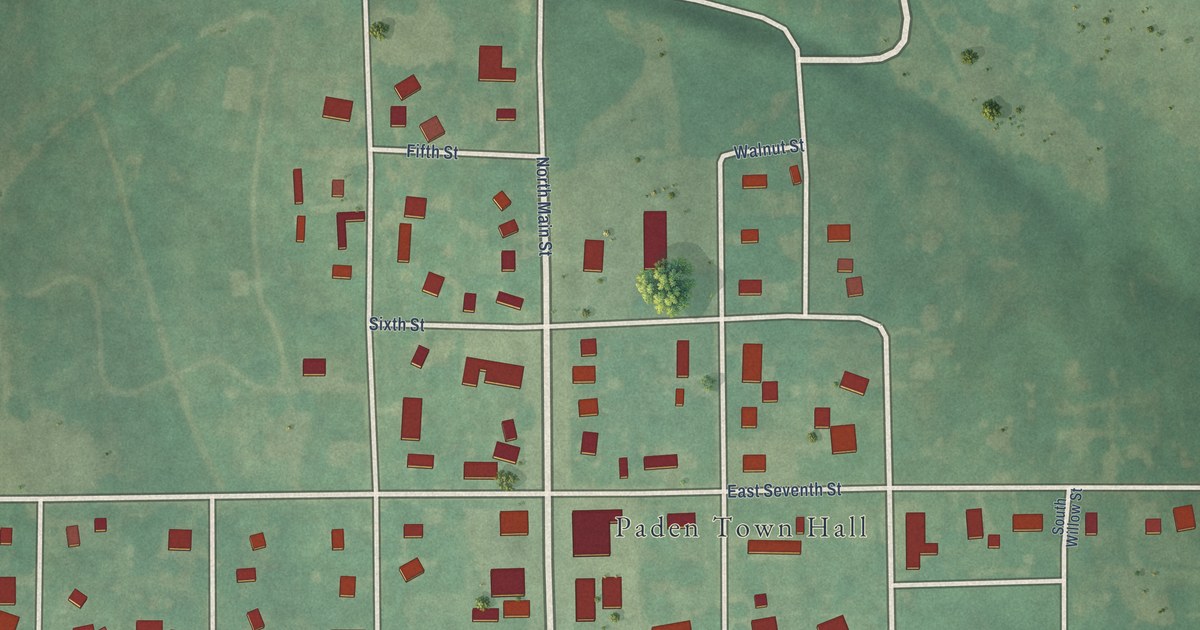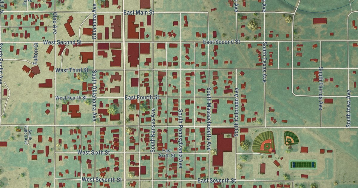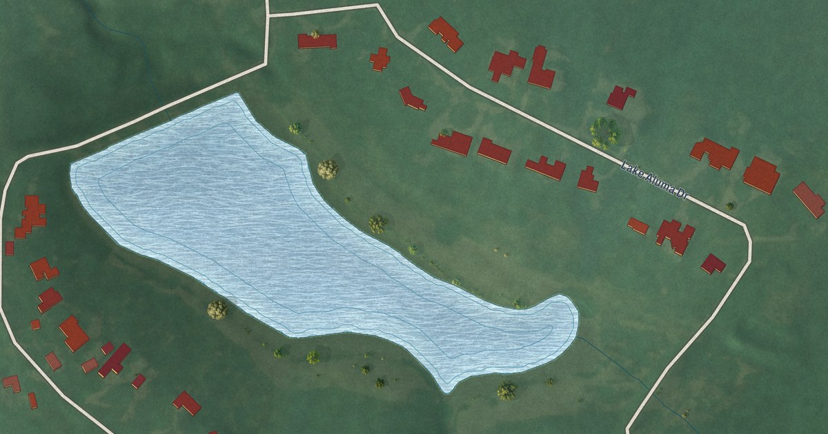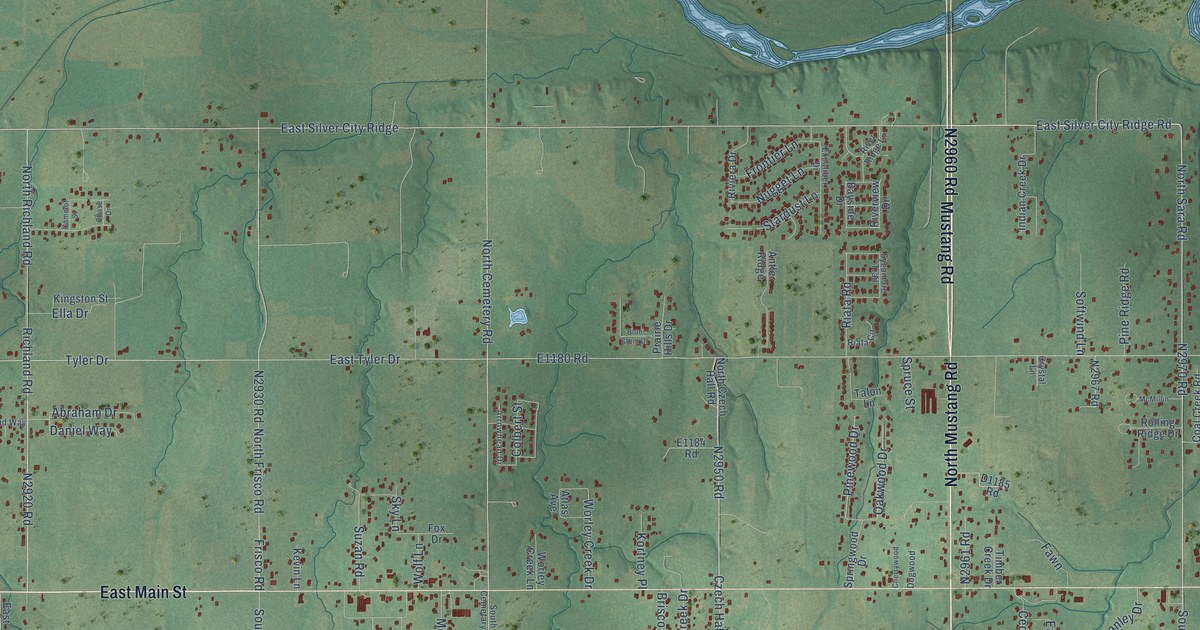
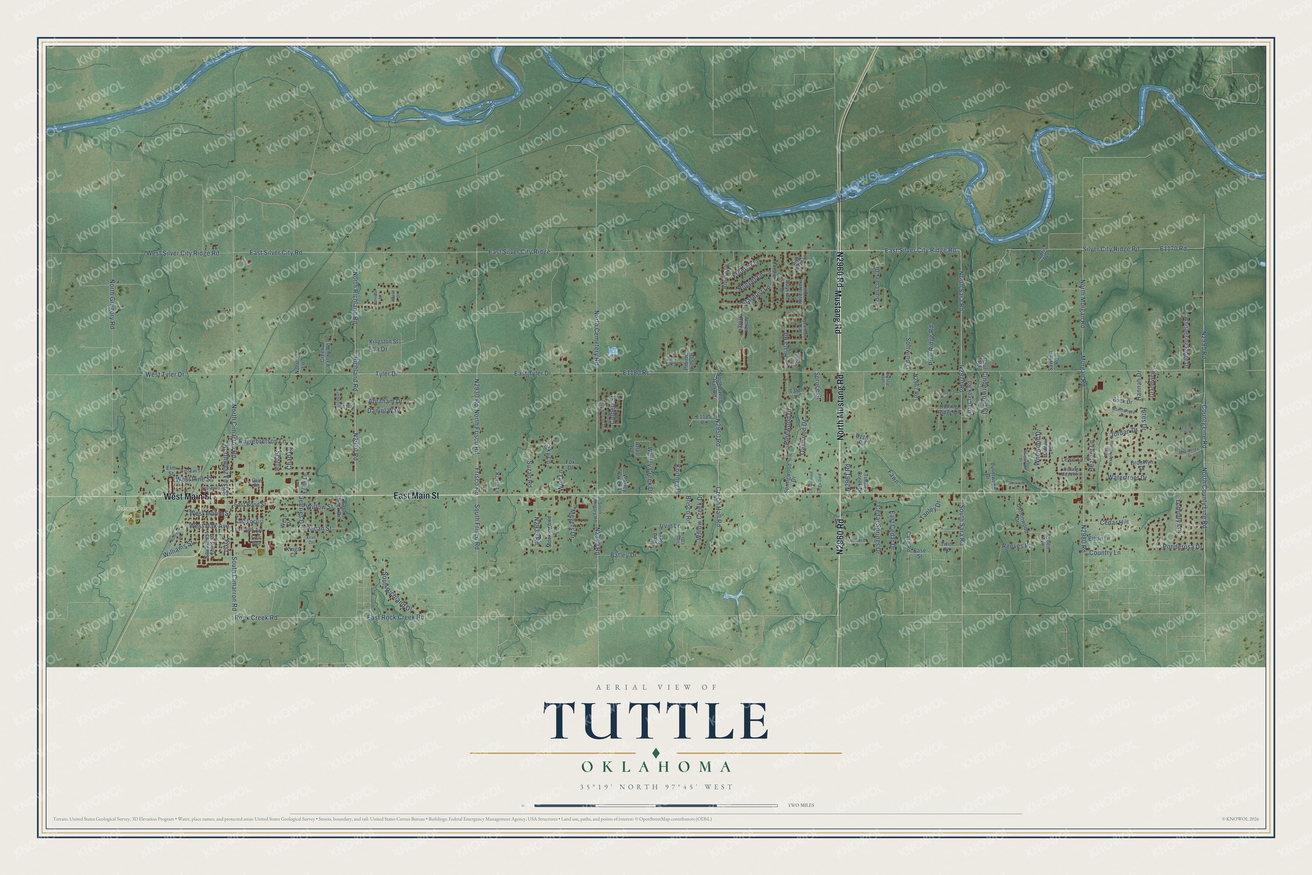
This beautifully detailed map of Tuttle, Oklahoma was created in 2026 using aerial imagery combined with modern topographical, census, street and landmark data. It's a modern aerial view of Tuttle in Grady County, Oklahoma, that combines modern data with a vintage aesthetic. The roads feature printed names, and if you look closely you can find your exact house accurately shown in its correct location.
Explore an aerial view of Tuttle, Oklahoma
On this map you'll find Schrock Park, North Mustang Road, N2960 Road, East Main Street, Mustang Road, West Main Street, East Silver City Ridge, E1170 Road, N2970 Road, East Silver City Road, East Silver City Ridge Road, N2940 Road, and more. Each red shape is a building, so zoom in on the preview and look for yours.
Tuttle has a story worth telling. The record at okhistory.org puts it this way: "The town's first major building project was the Frisco depot, and the stockyard was the second."
Tuttle is a city in Grady County.
Take a closer look at the Tuttle map
Names on this map
These names are printed on this map.
Places: Schrock Park.
Streets and roads: North Mustang Road, East Main Street, Mustang Road, West Main Street, East Silver City Ridge, East Silver City Road, East Silver City Ridge Road, South Frisco Road, North Richland Road, Richland Road, East Rock Creek Road, South Cimarron Road.
More street names, A to Z
Abraham Drive, Antler Ridge, Arrowhead Drive, Aspen Avenue, Atlas Avenue, Batley Drive, Bayside Drive, Blue Stem Drive, Brisco Road, Brooklyn Drive, Buck Drive, Burntwood Drive, Camelot Street, Case Road, Case Street, Cedar Hill, Cedar Springs Drive, Chad Drive, Chase Drive, Cherrywood, Cinderwood Court, Clifton Drive, Coal Creek Road, Colbert Street, Cottonwood Drive, Country Lane, County Line Road, Creek Valley Road, Crystal Lane, Czech Hall Road, Daniel Way, Dogwood, Doris Avenue, East Bond Street, East Cedar Drive, East Creek Drive, East Locust, East Oak Avenue, East Tyler Drive, Edith Lane, Ella Drive, Elm Street, Elmwood Drive, Englebretson Lane, Erin Drive, Ethan Lane, Excaliber Drive, Fawn, First, Flagg Road, Fox Drive, Frisco Road, Frontier Lane, Gath Circle, Grandview, Hannah Drive, Heather Lane, Hites Drive, Indian Creek Drive, Irvin Lane, Jeffries Drive, Jordan Drive, Kevin Lane, Kings Court, Kingston Street, Kortney Place, Leonard Drive, Lewis Lane, Loblolly Lane, Lois Avenue, McElvaney Drive, McMillin, Meadow Lane, Meyers Drive, Mockingbird Lane, Morgan Road, Natalie Lane, North Cemetery Road, North Cimarron Road, North County Line Road, North Czech Hall Road, North Frisco Road, North Gregory Road, North Morgan Road, North Sara Road, Northshore Drive, Northwest First Street, Nugget Lane, Oakwood Drive, Paul Road, Pecan Street, Pine Ridge Road, Pinewood Drive, Ponderosa Drive, Prairie Hills Drive, Railroad Street, Red Rock, Reeves Place, Riata Circle, Riata Road, Ridgewood Drive, River Ridge Lane, Riverview Drive, Riviera Drive, Rock Creek Road, Rolling Meadows, Rolling Ridge Drive, Sawmill Road, Scottie, Silver City Ridge Road, Sky Lane, Softwind Lane, South Cemetary Road, South Richland Drive, South Sara Road, Southwest Third Street, Springwood Drive, Spruce Street, Stardust Lane, Suzan Road, Sycamore Trail, Talon Lane, Tanley Drive, Timber Creek Drive, Timberland Way, Twin Road, Tyler Drive, Waterfront Drive, West Drive, West Elm Street, West Holly, West Maple Street, West Oak Avenue, West Pine Street, West Silver City Ridge Road, West Tyler Drive, West Waterfront Drive, Whispering Ridge Drive, Wildwood Drive, Williams Street, Willow Creek Drive, Willow Street, Wolf Lane, Worley Creek Drive, Worley Creek Lane.
Created by KNOWOL in 2026. The buildings are small red shapes, the roads carry their printed names, and shaded relief shows the shape of the land. The title panel reads "AERIAL VIEW OF TUTTLE OKLAHOMA" with 35°19' NORTH 97°45' WEST.
It looks right in a kitchen, an office or a den, and it's a gift for anyone who grew up in Tuttle or moved away. Open the preview and find your street. See sizes and frames for the Tuttle map.