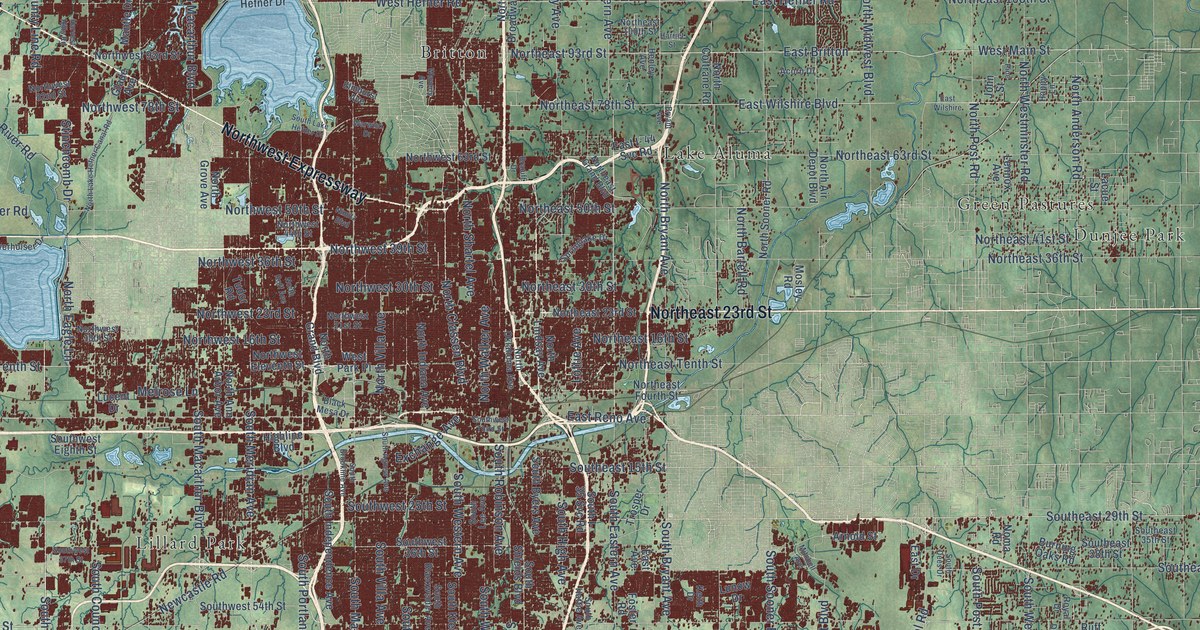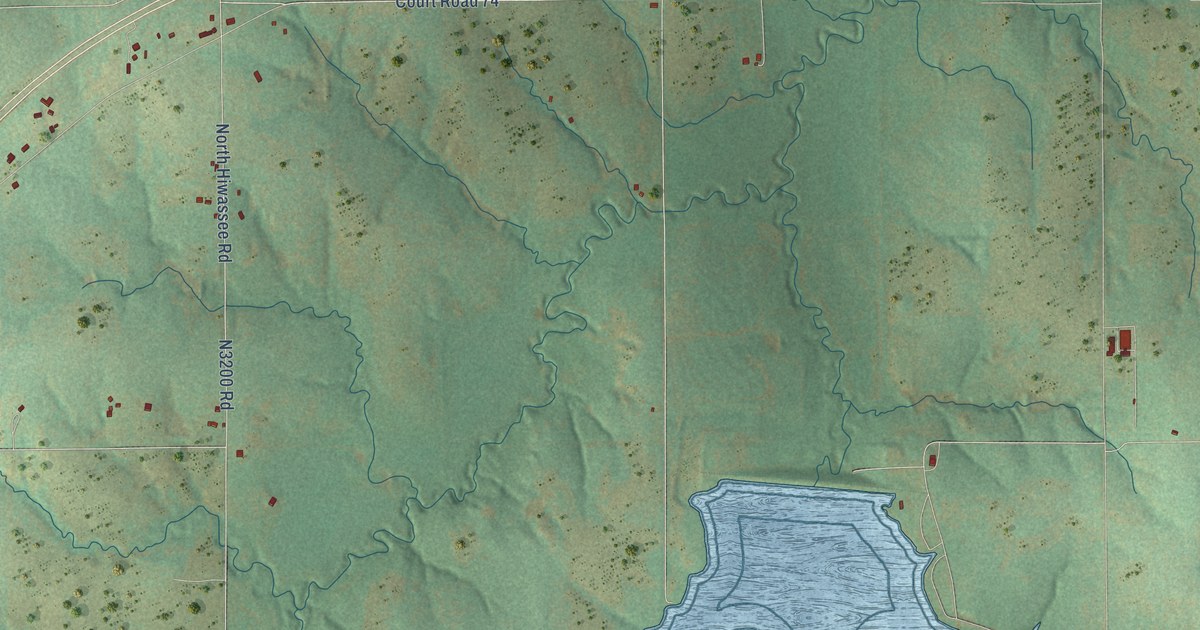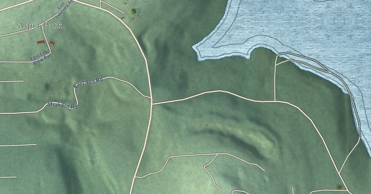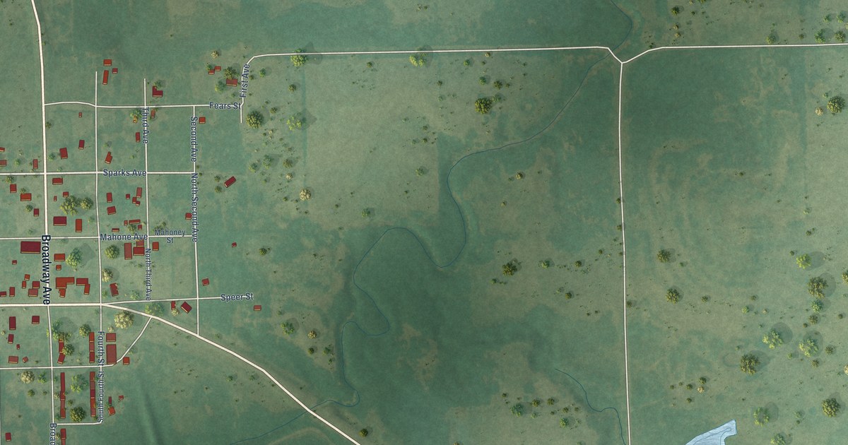
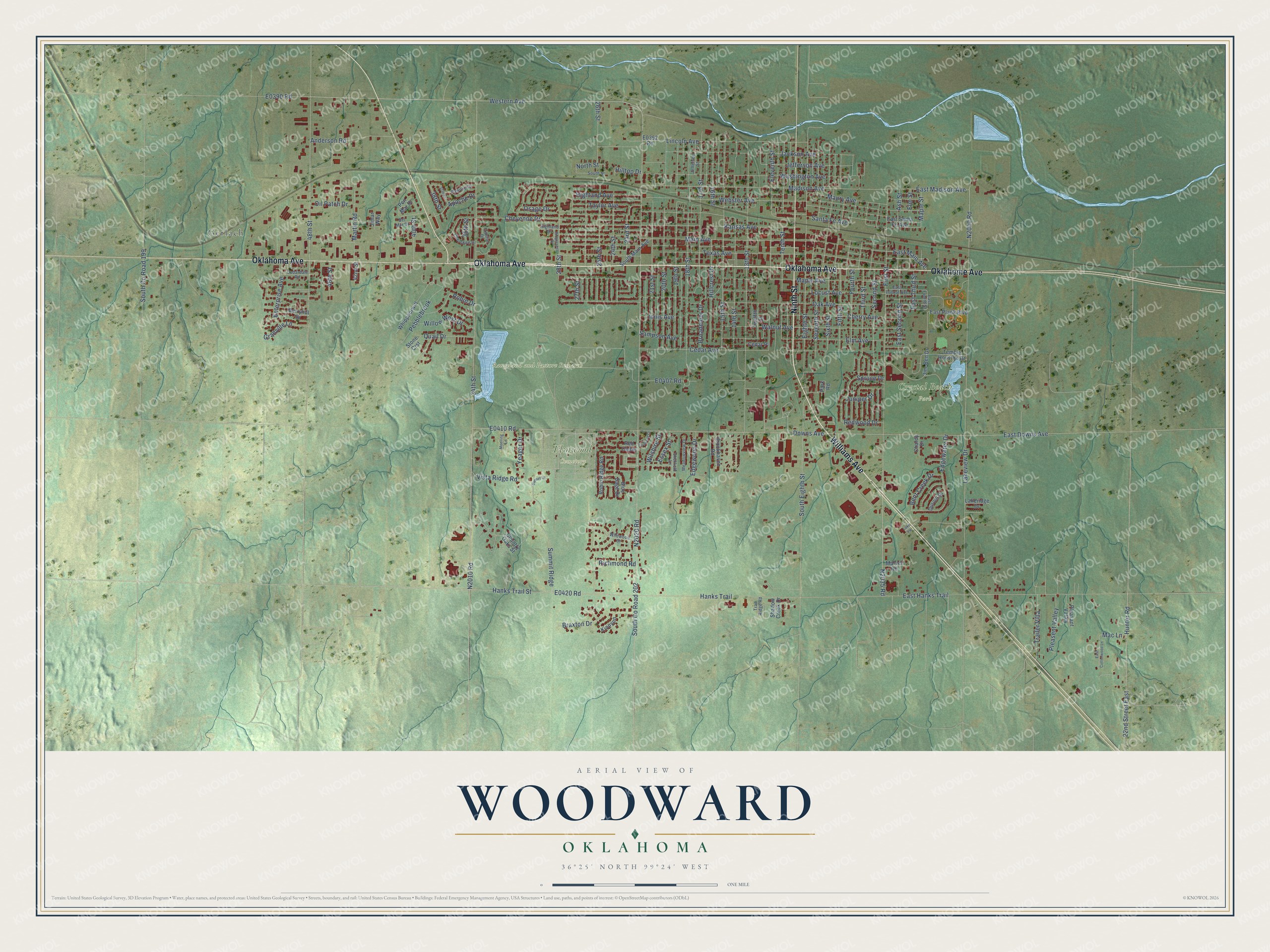
This beautifully detailed map of Woodward, Oklahoma was created in 2026 using aerial imagery combined with modern topographical, census, street and landmark data. It's a modern aerial view of Woodward in Woodward County, Oklahoma, that combines modern data with a vintage aesthetic. The roads feature printed names, and if you look closely you can find your exact house accurately shown in its correct location.
Explore an aerial view of Woodward, Oklahoma
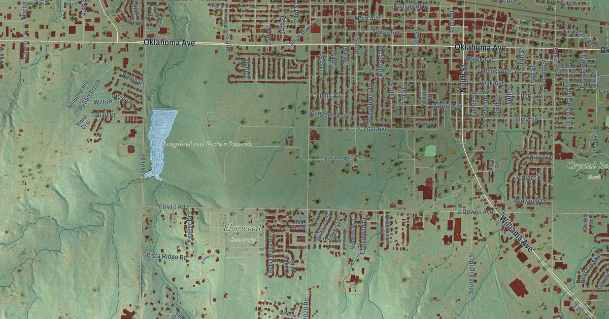
On this map you'll find Crystal Beach Park, Elmwood Cemetery, Rangeland and Pasture Research, Gerlach, Oklahoma Avenue, Williams Avenue, Ninth Street, Oklahome Avenue, South Co Road 202, Western Avenue, Downs Avenue, Cedar Avenue, and more. Each red shape is a building, so zoom in on the preview and look for yours.
Here is a piece of Woodward history, in the words of the record. The record at okhistory.org puts it this way: "In keeping with the cattle marketing tradition, on February 23, 1933, the Woodward Livestock Auction opened, the state's first commercial-grade cattle auction."
Woodward is a city in Woodward County.
Take a closer look at the Woodward map
Names on this map
These names are printed on this map.
Places: Crystal Beach Park, Elmwood Cemetery, Rangeland and Pasture Research and Gerlach.
Streets and roads: Oklahoma Avenue, Williams Avenue, Ninth Street, Oklahome Avenue, South County Road 202, Western Avenue, Downs Avenue, Cedar Avenue, East Main Avenue, 48th Street, Maple Avenue, 28th Street.
More street names, A to Z
13th Street, 14th Street, 15th Street, 16th Street, 17th Street, 18th Street, 19th Street, 20th Street, 21st Street, 22nd Street East, 23rd Street, 24th Street, 25th Street, 26th Street, 27th Street, 34th Street, 35th Street, 37th Street, 38th Street, 40th Street, 42nd Street, 46th Street, Anderson Road, Apache Drive, Ash Street, Bel Mar Drive, Bent Creek Drive, Berryhill Drive, Blue Sage Drive, Braxton Drive, Broadmoor Drive, Brookhaven Road, Cedardale Road, Cedar Place, Chardy Drive, Cherokee Drive, Cherry Avenue, Cheyenne Drive, Concord Lane, Country Oaks Street, Durum Drive, East Cottonwood Lane, East Downs Avenue, East Fourth Street, East Hanks Trail, East Locust Avenue, East Madison Avenue, East Plank Boulevard, East Santa Fe Avenue, East Second Street, East Third Street, Edgewater Drive, Edgewood Drive, Eighth Street, Eleventh Street, Elm Avenue, Elm Street, Enterprise Avenue, Essex Street, Fifth Street, First Street, Fourth Street, Frontier Drive, Granville Lane, Hanks Trail, Hanks Trail Street, Highland Avenue, Highland Drive, Hillcrest Drive, Hilltop Drive, Hunter Road, Innis Avenue, Jackson Avenue, Jefferson Avenue, Jefferson Street, Jim-Ben Drive, Jimar Way, Juniper Drive, Kansas Avenue, Kinnyon, Lakeridge Drive, Lakeview Drive, Lake Vw, Lincoln Avenue, Locust Avenue, Mac Lane, Madison Avenue, Main Avenue, Maple Street, Martin Road, Marvel Road, Maury Avenue, Meadowview Drive, Moelling Lane, North Street, Oak Avenue, Oil Patch Drive, Osage Drive, Park Road, Pawnee Drive, Pebblebrook, Pen Mar Drive, Pleasant Valley, Pleasent Valley, Quail Drive, Red Cedar, Redwood Drive, Richmond Road, Ridgecrest Drive, Robin Drive, Robin Ridge Road, Sampson Avenue, Santa Fe Avenue, Second Street, Seventh Street, Shadow Creek Drive, Sheffield Lane, Sixth Street, South County Road 199, South Eighth Street, South Main Avenue, South Street, Spruce Drive, Stone Crst, Summit Ridge, Sunset Lane, Taylor Avenue, Temple Houston Drive, Tenth Street, Texas Avenue, Third Street, Trailer Villa, Trail Ridge Road, Twelfth Street, Vista Ridge Road, Walnut Avenue, Washington Avenue, Webster Avenue, Whippoorwill, Wildwood Drive, Willow West Drive, Wilshire Street, Yeager Drive.
Created by KNOWOL in 2026. The buildings are small red shapes, the roads carry their printed names, and shaded relief shows the shape of the land. The title panel reads "AERIAL VIEW OF WOODWARD OKLAHOMA" with 36°25' NORTH 99°24' WEST.
It suits a den, a classroom or a front hall, and it makes a gift for anyone with Woodward roots. Open the preview and find the block you know. See sizes and frames for the Woodward map.