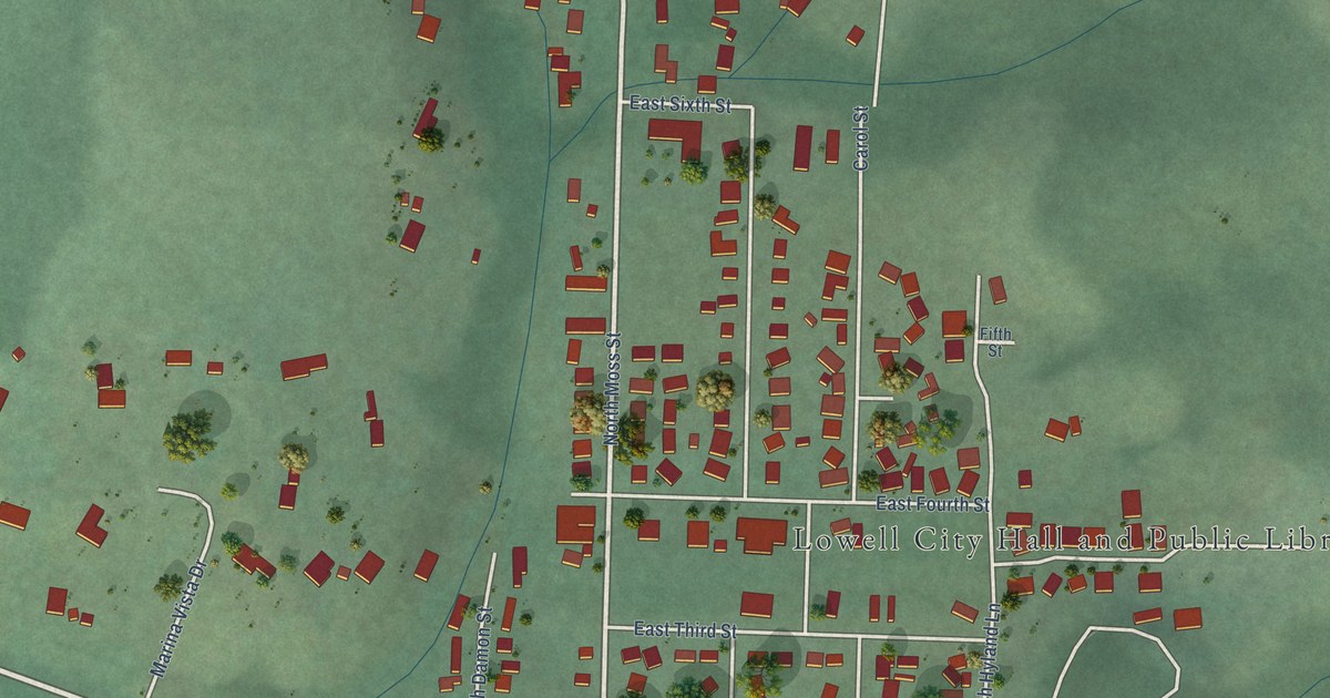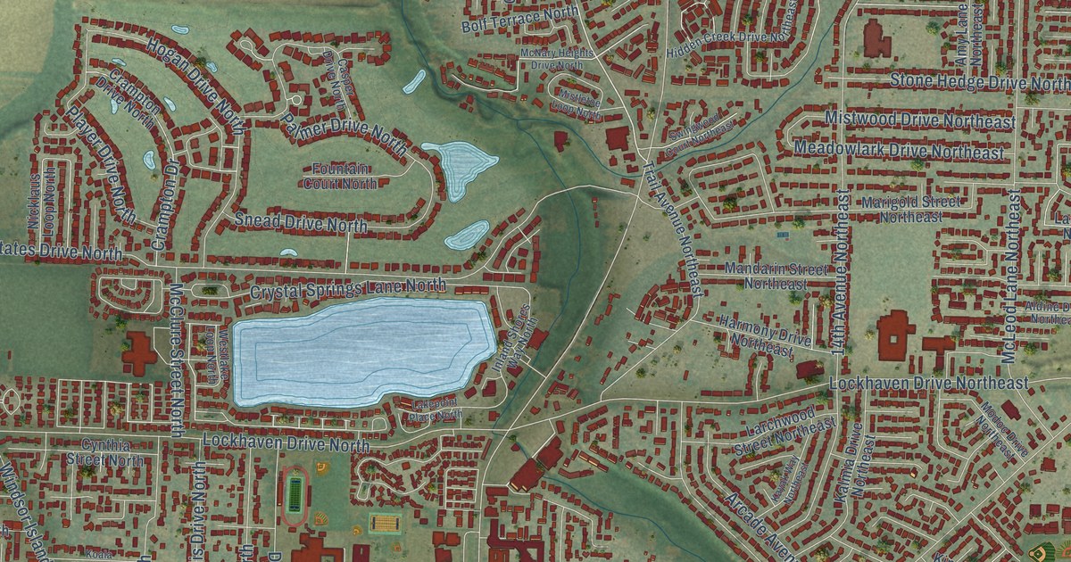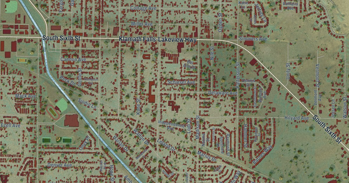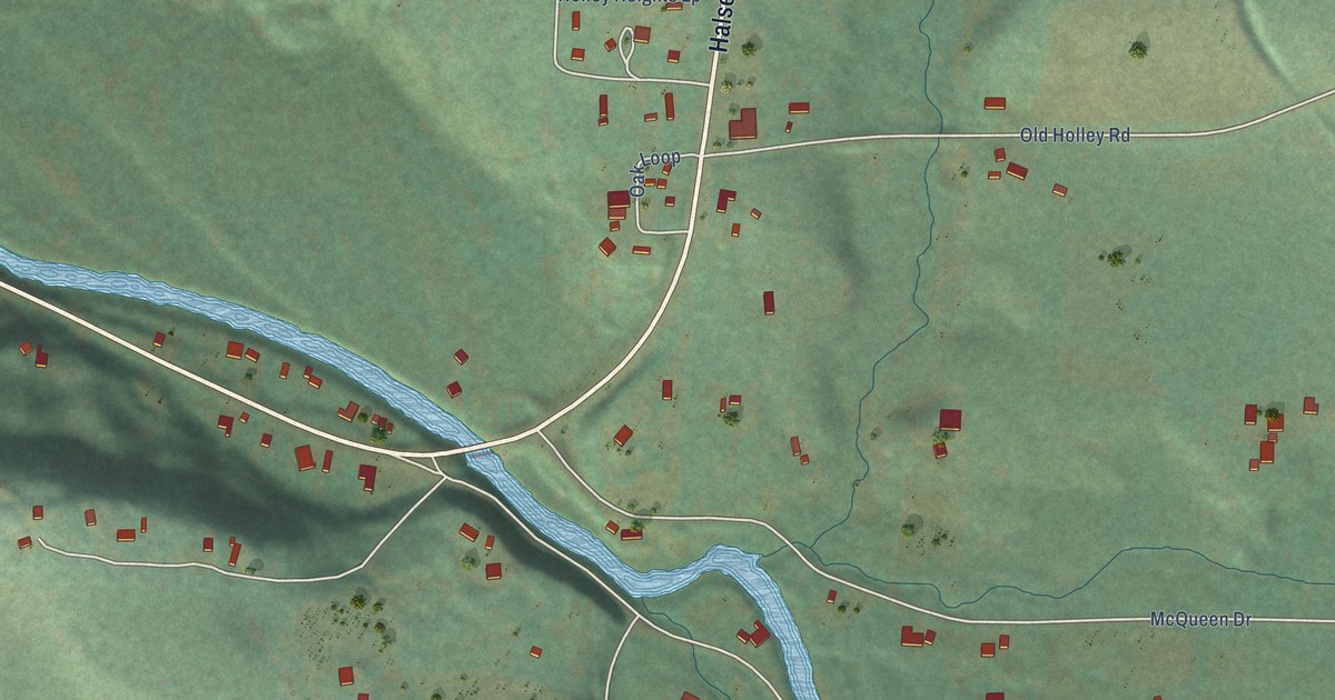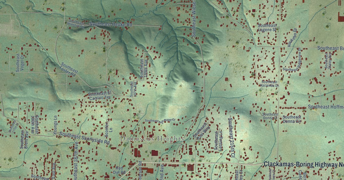
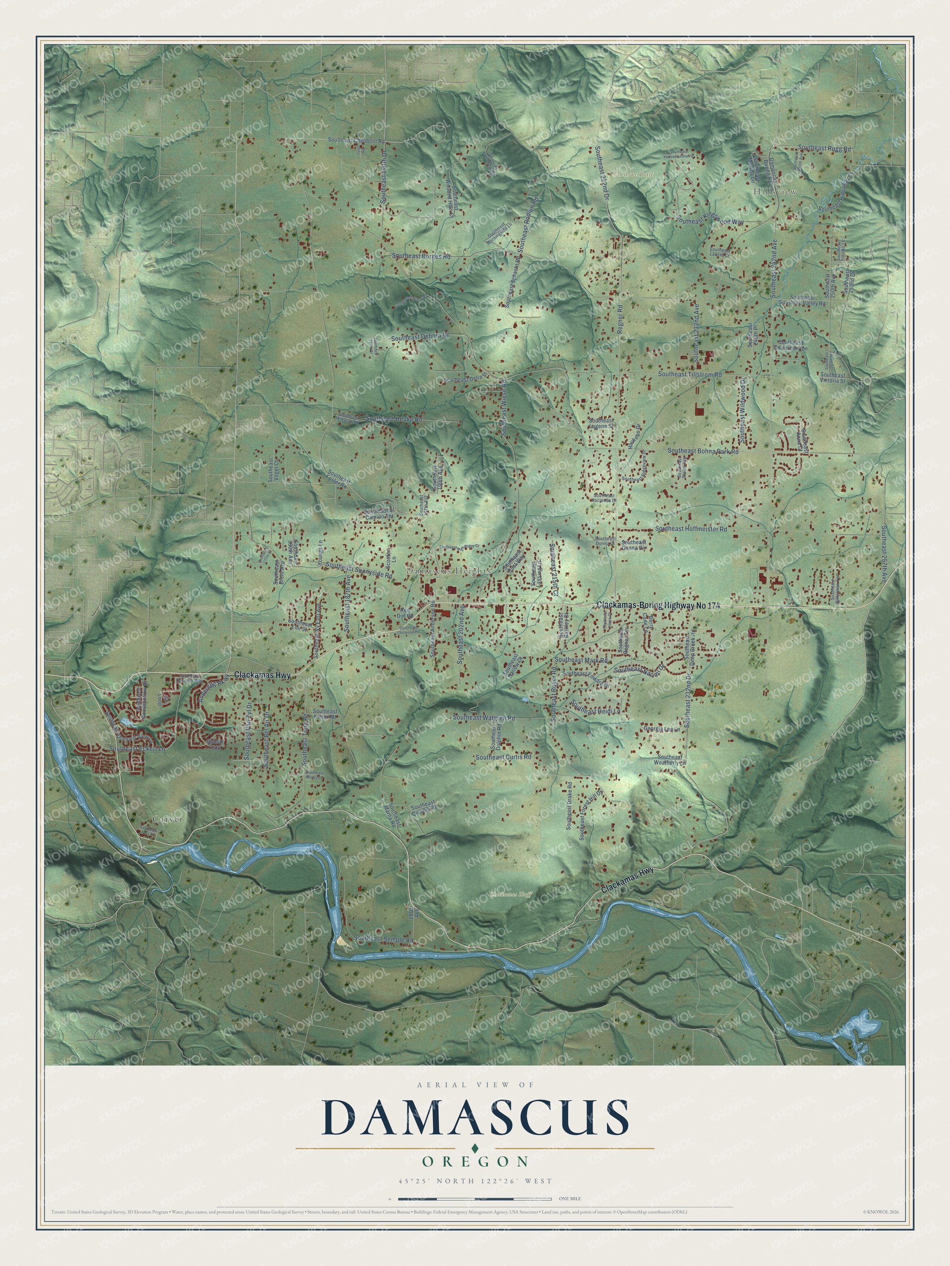
This beautifully detailed map of Damascus, Oregon was created in 2026 using aerial imagery combined with modern topographical, census, street and landmark data. It's a modern aerial view of Damascus in Clackamas County, Oregon, that combines modern data with a vintage aesthetic. The roads feature printed names, and if you look closely you can find your exact house accurately shown in its correct location.
Explore an aerial view of Damascus, Oregon
On this map you'll find Hillsview, Damascus Heights, Clackamas Bluff, Sunshine Butte, Carver, Clackamas-Boring Highway No 174, Clackamas Highway, Anderegg Parkway, Southeast Rugg Road, Southeast 257th Avenue, Southeast Wiese Road, Southeast Tillstrom Road, and more. Each red shape is a building, so zoom in on the preview and look for yours.
Damascus has a story worth telling. Damascus grew up along the old Foster-Barlow Road from 1852, though it didn't get its name until 1866. That road, a spur of the Oregon Trail, was a shortcut to Portland that bypassed Oregon City, and later it carried the area's farm produce to Portland. The one-room Damascus School went up in 1876 on land given by James and Margaret Chitwood, opened in 1877, and served as a school until 1956. That's from the National Register of Historic Places.
Damascus is a community in Clackamas County. The Census Bureau counted 11,050 people here in 2020.
Take a closer look at the Damascus map
Names on this map
These names are printed on this map.
Places: Hillsview, Damascus Heights, Clackamas Bluff, Sunshine Butte and Carver.
Streets and roads: Clackamas-Boring Highway No 174, Clackamas Highway, Anderegg Parkway, Southeast Rugg Road, Southeast 257th Avenue, Southeast Wiese Road, Southeast Tillstrom Road, Southeast 242nd Avenue, Southeast 222nd Drive, Southeast Borges Road, Southeast Bohna Park Road, Regner Road.
More street names, A to Z
197th Avenue, Berry Cane Lane, Damascus Boring Road, Dunhill Loop, Georgia Lee Lane, Haukebo Drive, Red Dirt Road, Scooter Lane, Siri Loop, Southeast 177th Court, Southeast 180th Avenue, Southeast 187th Avenue, Southeast 190th Court, Southeast 190th Drive, Southeast 197th Avenue, Southeast 199th Avenue, Southeast 202nd Avenue, Southeast 215th Court, Southeast 232nd Avenue, Southeast 232nd Drive, Southeast 240th Place, Southeast 245th Avenue, Southeast 250th Avenue, Southeast 250th Place, Southeast 252nd Drive, Southeast Alder Ridge Road, Southeast Anderson Road, Southeast Anna Court, Southeast Barkley Court, Southeast Barlow Court, Southeast Bel Air Drive, Southeast Brent Avenue, Southeast Canterbury Lane, Southeast Cheldelin Road, Southeast Chitwood Road, Southeast Curtis Road, Southeast Davidoff Way, Southeast Debora Drive, Southeast Deep Creek Road, Southeast Delia Street, Southeast Dolphin Road, Southeast Donna Circle, Southeast Donna Court, Southeast Drake Road, Southeast Eckert Lane, Southeast Edward Drive, Southeast El Camino Terrace, Southeast Emi Street, Southeast Forest Hill Drive, Southeast Foss Street, Southeast Foster Road, Southeast Goosehollow Drive, Southeast Hacienda Drive, Southeast Heidi Lane, Southeast Heuke Road, Southeast Hideaway Court, Southeast High Ridge Court, Southeast Hittay Road, Southeast Hoffmeister Road, Southeast Holly View Terrace, Southeast Karen Court, Southeast Keller Road, Southeast Kingswood Way, Southeast Ladera Court, Southeast Lagene Street, Southeast Lansing Lane, Southeast Mark Road, Southeast Marna Road, Southeast Marsha Lane, Southeast Miarly Lane, Southeast Morningside Lane, Southeast Naomi Drive, Southeast Orchard View Lane, Southeast Qualley Road, Southeast Regner Terrace, Southeast Ridgeview Drive, Southeast Rodlun Road, Southeast Royer Road, Southeast Rust Way, Southeast Schacht Road, Southeast Semple Road, Southeast Staley Avenue, Southeast Sunnyside Road, Southeast Sunshine Valley Road, Southeast Tong Road, Southeast Treehill Lane, Southeast Van Zyl Drive, Southeast Victoria Street, Southeast Vogel Court, Southeast Walgren Road, Southeast Weatherly Lane, Southeast Wildwood Drive, Southeast Winston Road, Southeast Wooded Hills Court, Southeast Wy East Avenue, Southeast Yellowhammer Street, Turel Road, Youngs Lane.
See it on a wall
The Damascus map as a framed print. Swipe for more.


Created by KNOWOL in 2026. The buildings are small red shapes, the roads carry their printed names, and shaded relief shows the shape of the land. The title panel reads "AERIAL VIEW OF DAMASCUS, OREGON" with 45°25' NORTH 122°26' WEST.
It looks right in a kitchen, an office or a den, and it's a gift for anyone who grew up in Damascus or moved away. Open the preview and find your street. See sizes and frames for the Damascus map.