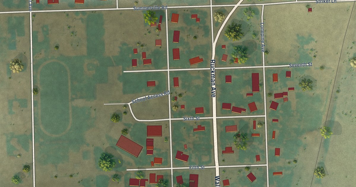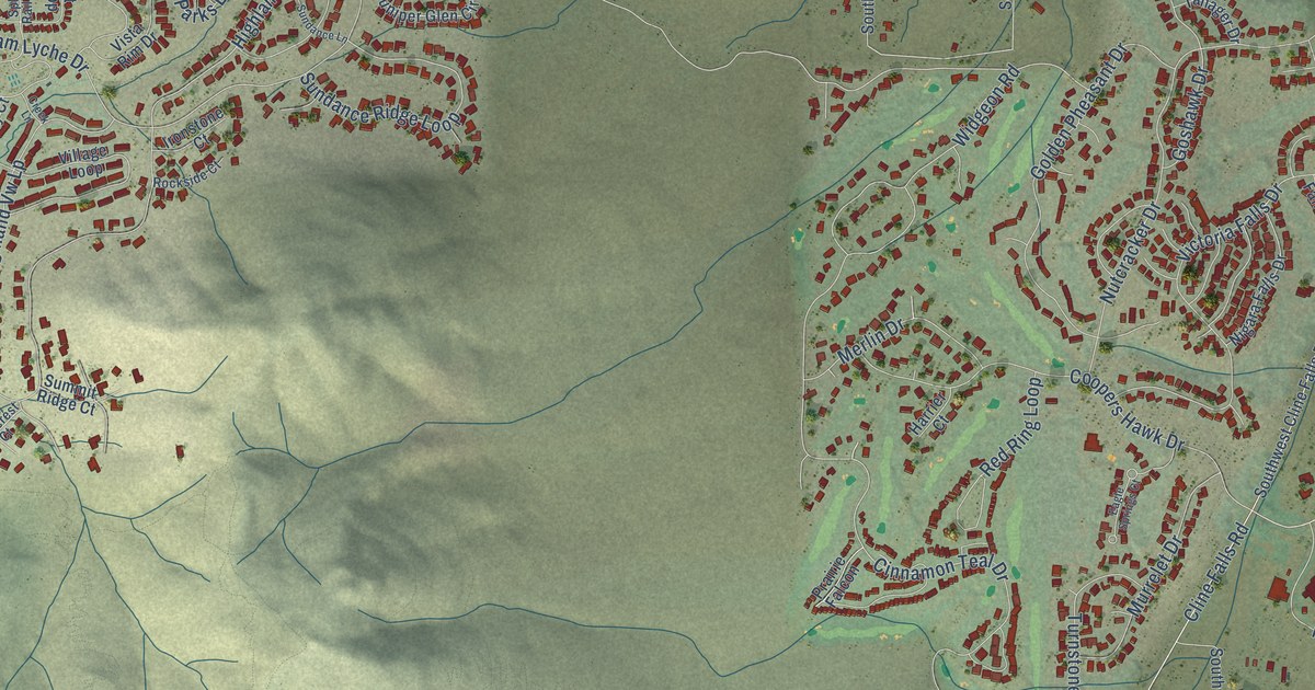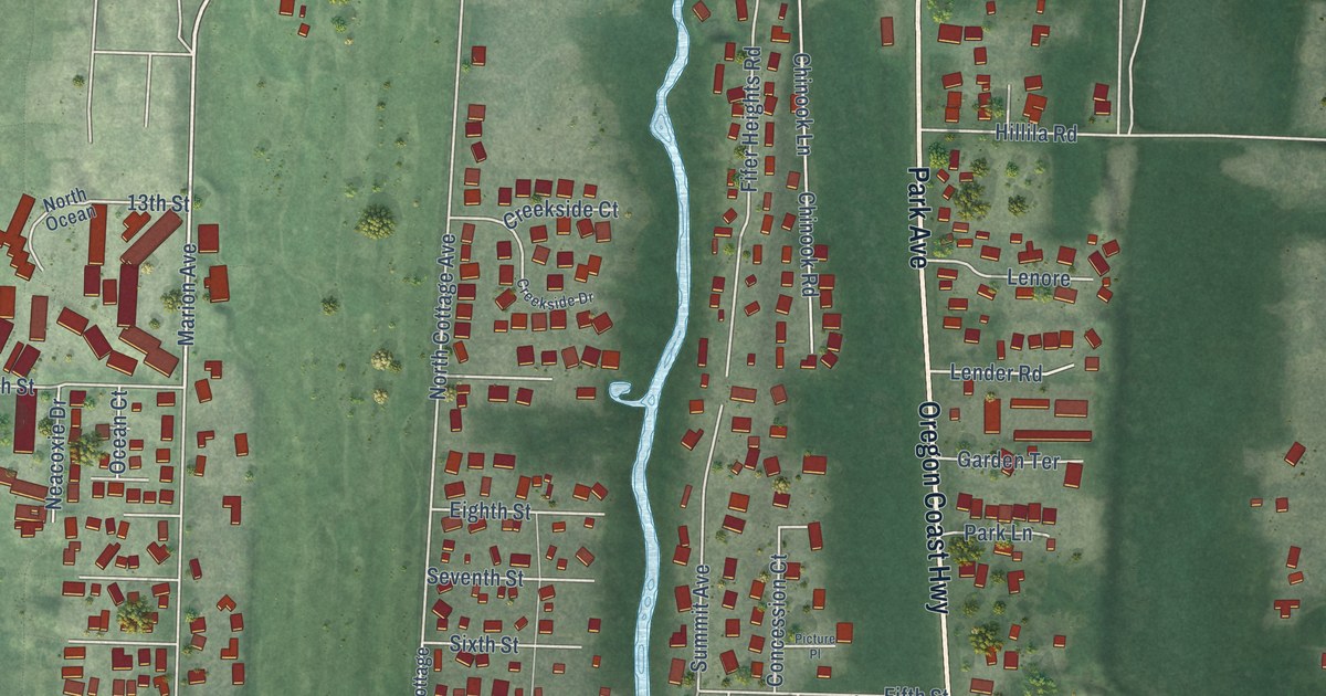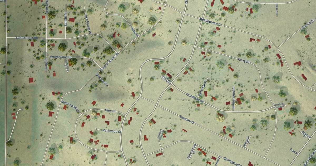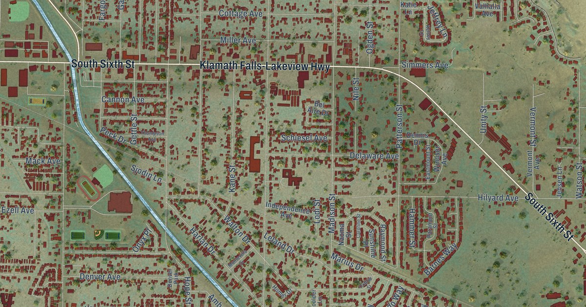
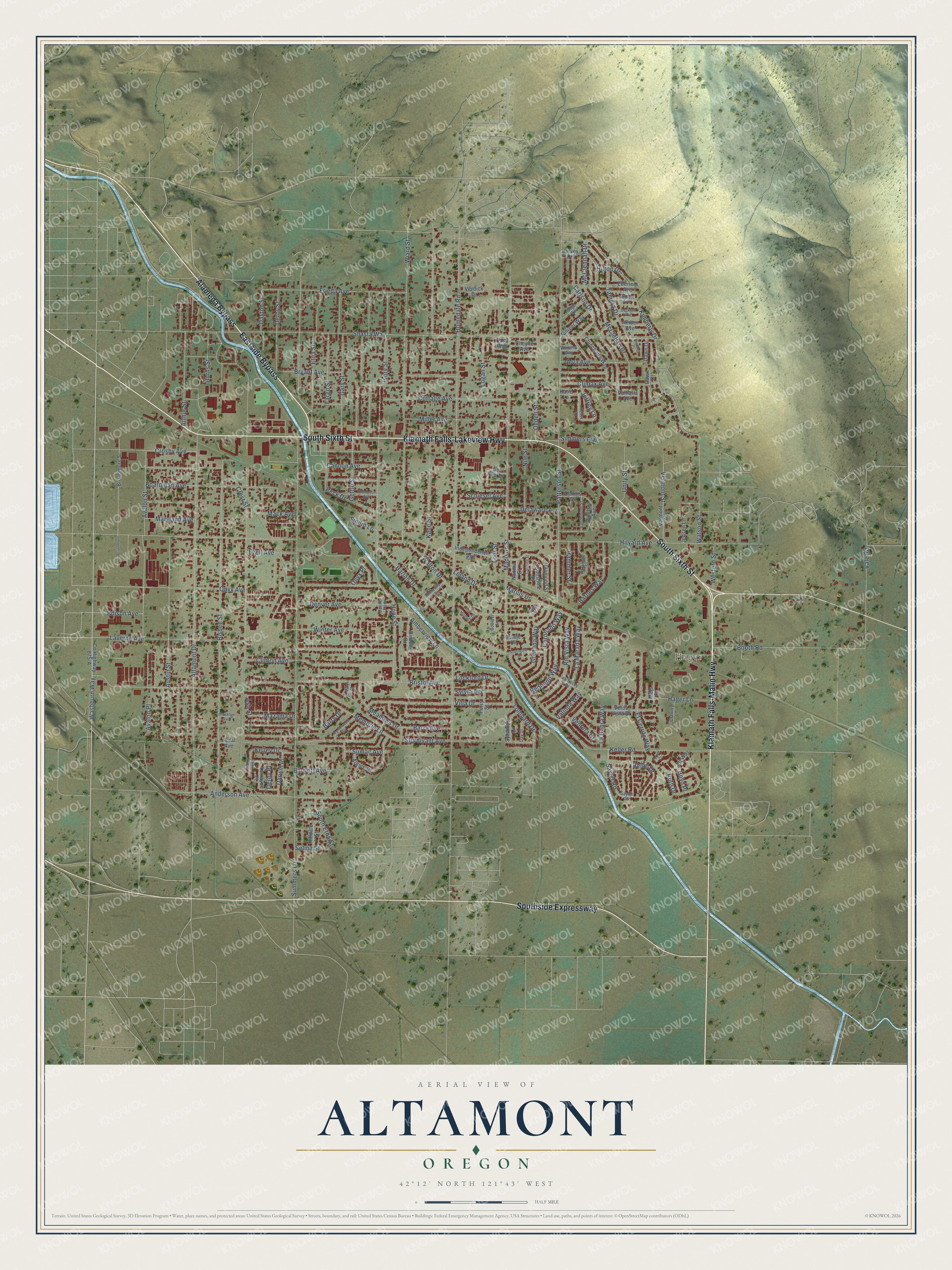
This beautifully detailed map of Altamont, Oregon was created in 2026 using aerial imagery combined with modern topographical, census, street and landmark data. It's a modern aerial view of Altamont in Klamath County, Oregon, that combines modern data with a vintage aesthetic. The roads feature printed names, and if you look closely you can find your exact house accurately shown in its correct location.
Explore an aerial view of Altamont, Oregon
On this map you'll find Hager, Eastside Bypass, Klamath Falls-Malin Highway, South Sixth Street, Klamath Falls-Lakeview Highway, Southside Expressway, Alameda Bypass, Washburn Way, Bellm Drive, Onyx Avenue, Edison Avenue, Altamont Drive, and more. Each red shape is a building, so zoom in on the preview and look for yours.
Every town has a first chapter, and Altamont is no exception. Altamont is said to have been named for Altamont, the famous racehorse. Jay Beach, a prominent horseman, gave the name to the area, and the Altamont post office was open from January 1895 to February 1902, with George W. Smith as postmaster. That's from the Oregon Historical Society Press.
Altamont is a community in Klamath County. The Census Bureau counted 20,233 people here in 2020.
Take a closer look at the Altamont map
Names on this map
These names are printed on this map.
Places: Hager and Denver Park.
Streets and roads: Eastside Bypass, Klamath Falls-Malin Highway, South Sixth Street, Klamath Falls-Lakeview Highway, Southside Expressway, Alameda Bypass, Washburn Way, Bellm Drive, Onyx Avenue, Edison Avenue, Altamont Drive, Ash Street.
More street names, A to Z
Alpine Drive, Alt Way, Alva Avenue, Amber Avenue, Amberview Lane, Anderson Avenue, Arthur Street, Austin Street, Avalon Place, Avalon Street, Barnes Way, Barry Avenue, Barry Drive, Bartlett Avenue, Beckton Avenue, Bel Aire Drive, Birddog Drive, Bisbee Street, Boardman Avenue, Booth Road, Boulder Lane, Boyd Place, Bristol Avenue, Bristol Court, Broadmore, Broadmore Street, Brooklyn Avenue, Bryant Avenue, Burns Street, Cannon Avenue, Carlson Drive, Caroline Street, Casa Way, Cheyne Avenue, Chinchalla Way, Climax Avenue, Clinton Avenue, Coronado Way, Cottage Avenue, County Highway 875-A, Crawley Lane, Crest Street, Crosby Avenue, Darwin Place, Dawn Court, Dawn Drive, Day Drive, Dayton Street, Delaware Avenue, Dennis Drive, Denver Avenue, Derby Place, Derby Street, Eastmount Street, Eberlein Avenue, El Cerrito Way, Estate Drive, Etna Street, Ezell Avenue, Fargo Street, Frieda Avenue, Gary Street, Gettle Street, Grenada Way, Hager Lane, Hammer Street, Harlan Drive, Harvey Drive, Hilldale Street, Hilton Drive, Hilyard Avenue, Homedale Road, Homer Drive, Hope Street, Horal Avenue, Independence Avenue, Ivory Street, Jeffrey Lane, Jensen Lane, Juniper Way, Kane Street, Katie Lane, Keller Road, Kelley Drive, Kelsey Lane, Kimberly Drive, La Habra Way, La Marada Way, Larry Place, Laverne Avenue, Leland Drive, Lockford Drive, Lodi Street, Logan Street, Lombard Drive, Lorrayne Place, Mack Avenue, Madison Street, Marius Drive, Maryland Avenue, Mazama Drive, McClellan Drive, McClennah Drive, Meadows Drive, Mels Place, Memorie Lane, Milbert Avenue, Miller Avenue, Monterey Drive, Montevilla Drive, Myrtlewood Drive, Naoma Street, Nile Street, Ogden Street, Onyx Place, Oxbow Street, Paramont Street, Patterson Street, Peck Drive, Perry Street, Raymond Street, Redondo Way, Rio Vista Way, Ruth Drive, Sage Way, Sayler Road, Sayler Street, Schiesel Avenue, Selma Street, Shasta Way, Shawna Court, Simmers Avenue, Sjodin Lane, South Etna Street, Southgate Drive, Sturdivant Avenue, Sumac Avenue, Summers Lane, Sunshine Place, Sycamore Drive, Sylvia Avenue, Tamera Drive, Thompson Avenue, Turner Court, Unity Street, Vale Road, Valhalla Avenue, Valinda Way, Ventura Drive, Verda Vista Drive, Verdick Drive, Vermont Avenue, Vermont Street, Villa Drive, Walton Drive, Watson Street, Western Street, Wiard Street, Windsor Avenue, Winema Way, Winter Avenue.
See it on a wall
The Altamont map as a framed print. Swipe for more.


Created by KNOWOL in 2026. The buildings are small red shapes, the roads carry their printed names, and shaded relief shows the shape of the land. The title panel reads "AERIAL VIEW OF ALTAMONT, OREGON" with 42°12' NORTH 121°43' WEST.
Hang it in the hallway, the office or the cabin, or give it to someone who left Altamont and still calls it home. Open the preview and look for a street you know. See sizes and frames for the Altamont map.