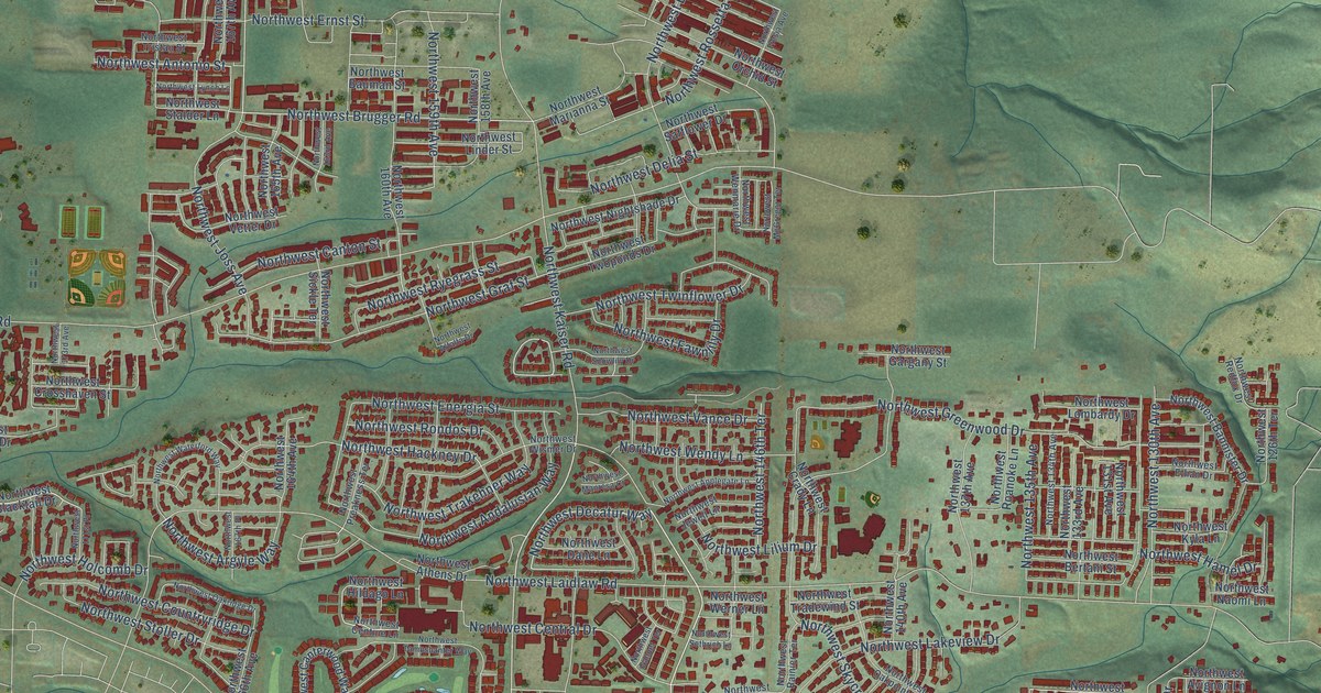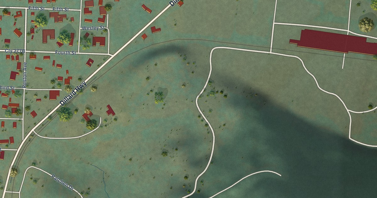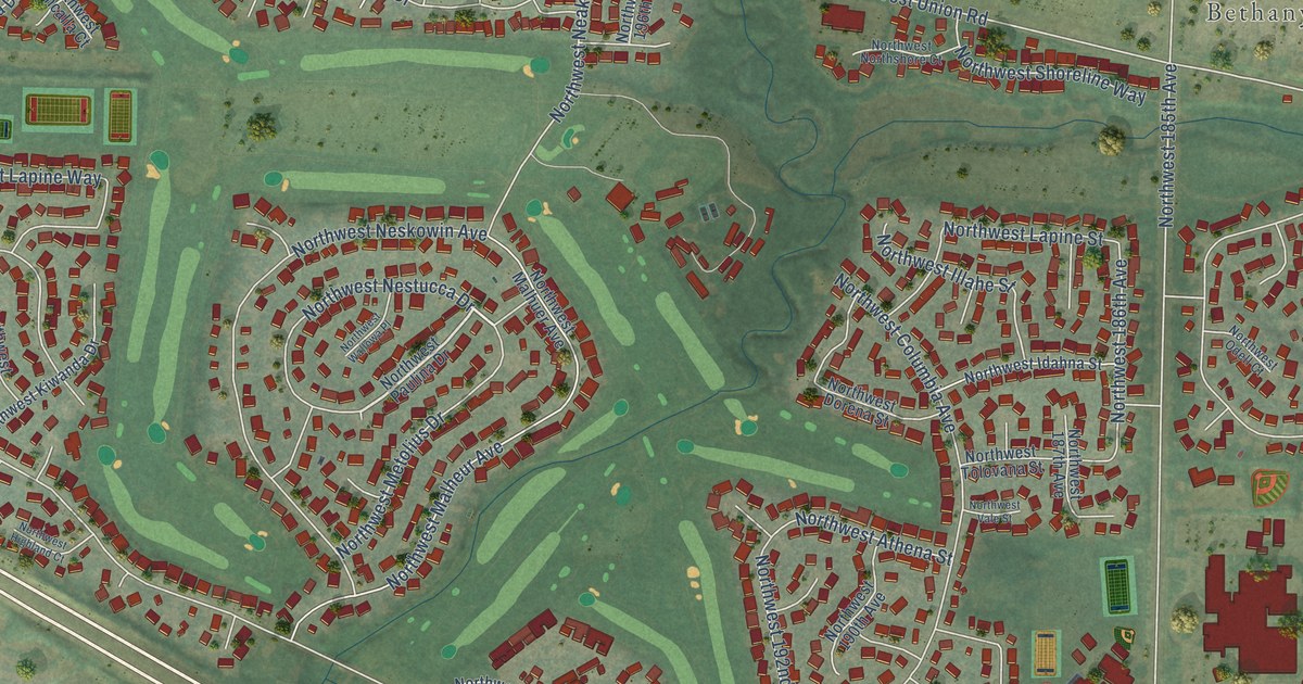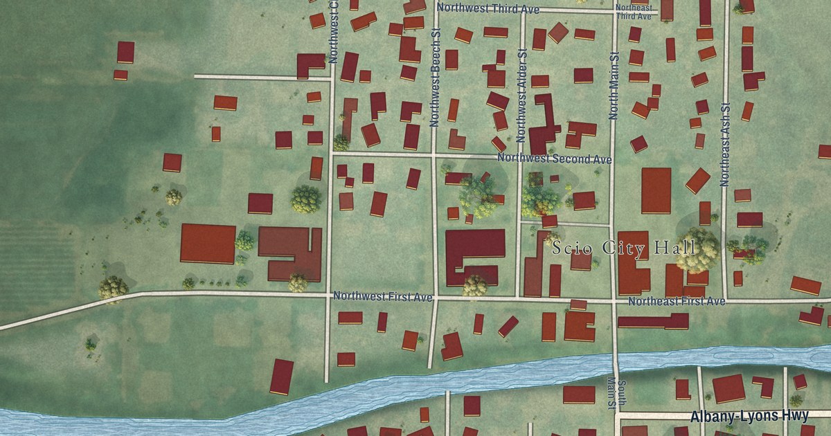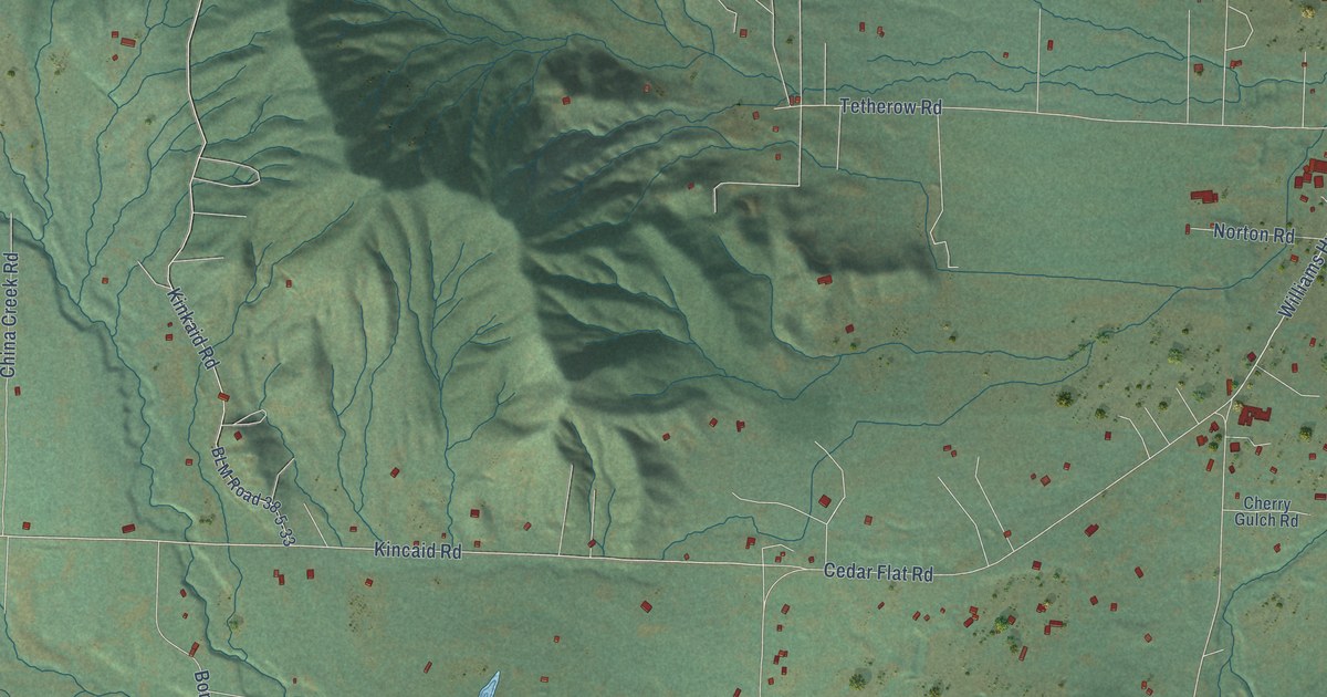
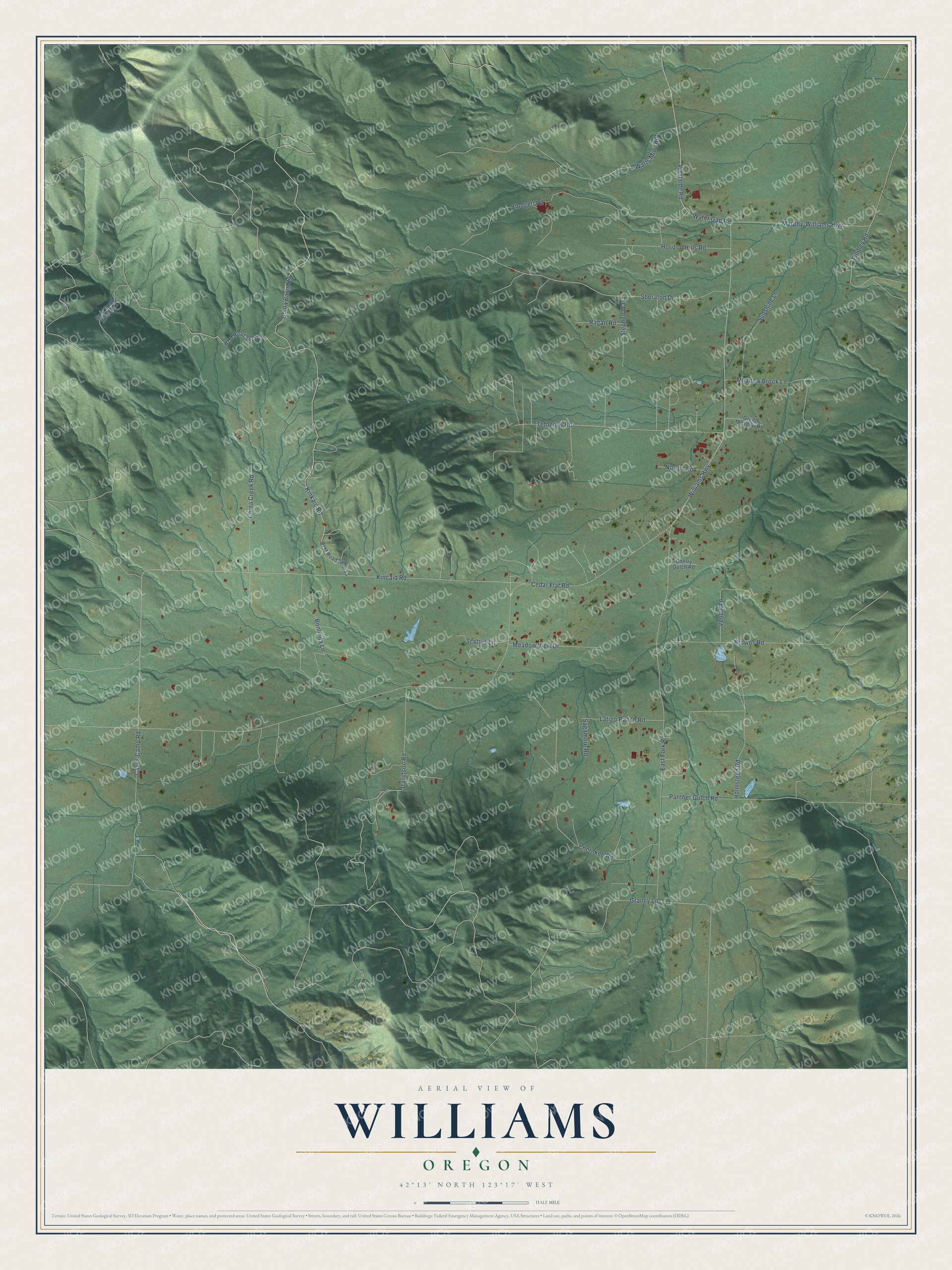
This beautifully detailed map of Williams, Oregon was created in 2026 using aerial imagery combined with modern topographical, census, street and landmark data. It's a modern aerial view of Williams in Josephine County, Oregon, that combines modern data with a vintage aesthetic. The roads feature printed names, and if you look closely you can find your exact house accurately shown in its correct location.
Explore an aerial view of Williams, Oregon
On this map you'll find Williams Highway, Murphy-Williams Highway, Kincaid Road, Vencill Lane, Westside Road, Cedar Flat Road, East Fork Road, Sheraton Drive, Kinkaid Road, Blodgett Road, Granny Lane, China Basin Road, and more. Each red shape is a building, so zoom in on the preview and look for yours.
Williams has a story worth telling. Williams started as a mining community in 1859 and was first known as Williamsburg, after nearby Williams Creek. The creek was named for Captain Robert Williams, who in 1853 commanded the Althouse Mounted Volunteers, 30 miners and settlers, in the Rogue River Indian Wars. That's from the Southern Oregon Historical Society.
Williams is a community in Josephine County. The Census Bureau counted 1,102 people here in 2020.
Take a closer look at the Williams map
Names on this map
These names are printed on this map.
Streets and roads: Williams Highway, Murphy-Williams Highway, Kincaid Road, Vencill Lane, Westside Road, Cedar Flat Road, East Fork Road, Sheraton Drive, Kinkaid Road, Blodgett Road, Granny Lane, China Basin Road.
More street names, A to Z
BLM Road 38-5-29, BLM Road 38-5-29.2, BLM Road 38-5-33, Bonlinda Lane, Browns Road, Caves Camp Road, Cherokee Road, Cherry Gulch Road, China Creek Road, Davidson Road, Findley Road, Green Meadow Road, Holmstead Road, Horizon Hills Road, Latigo Ranch Road, Meadow Brook Lane, Meadow View Drive, Norton Road, Panther Gulch Road, Ragan Road, Sagamore Road, Scottys Lane, Stephen Way, Sunshine Lane, Tetherow Road, Water Gap Road, Watts Mine Road.
See it on a wall
The Williams map as a framed print. Swipe for more.


Created by KNOWOL in 2026. The buildings are small red shapes, the roads carry their printed names, and shaded relief shows the shape of the land. The title panel reads "AERIAL VIEW OF WILLIAMS, OREGON" with 42°13' NORTH 123°17' WEST.
It looks right in a kitchen, an office or a den, and it's a gift for anyone who grew up in Williams or moved away. Open the preview and find your street. See sizes and frames for the Williams map.