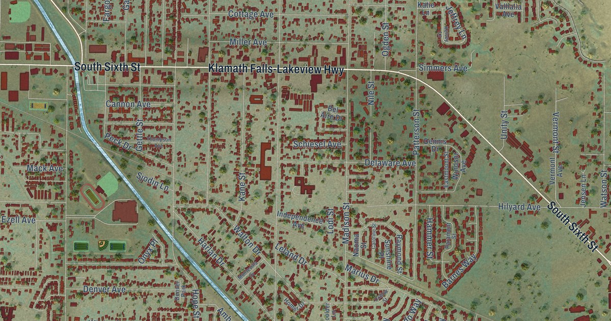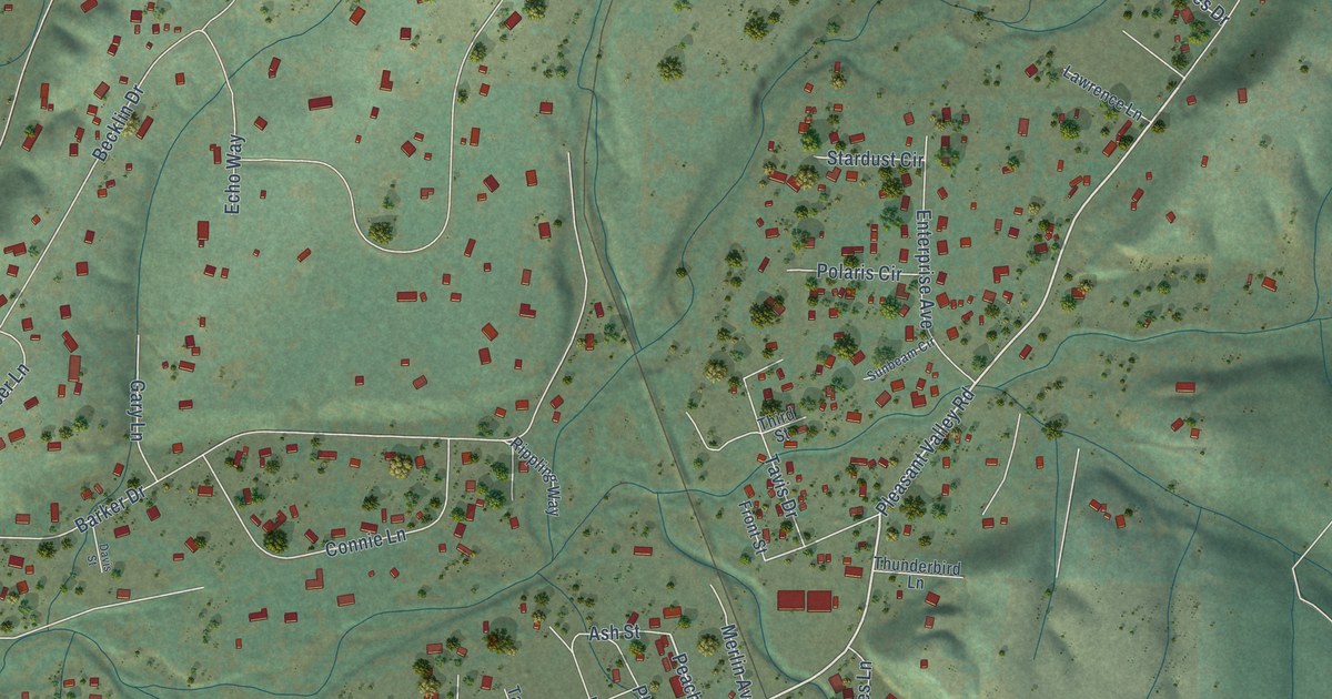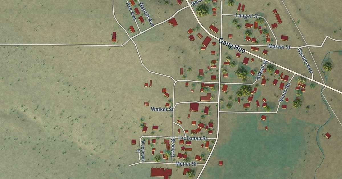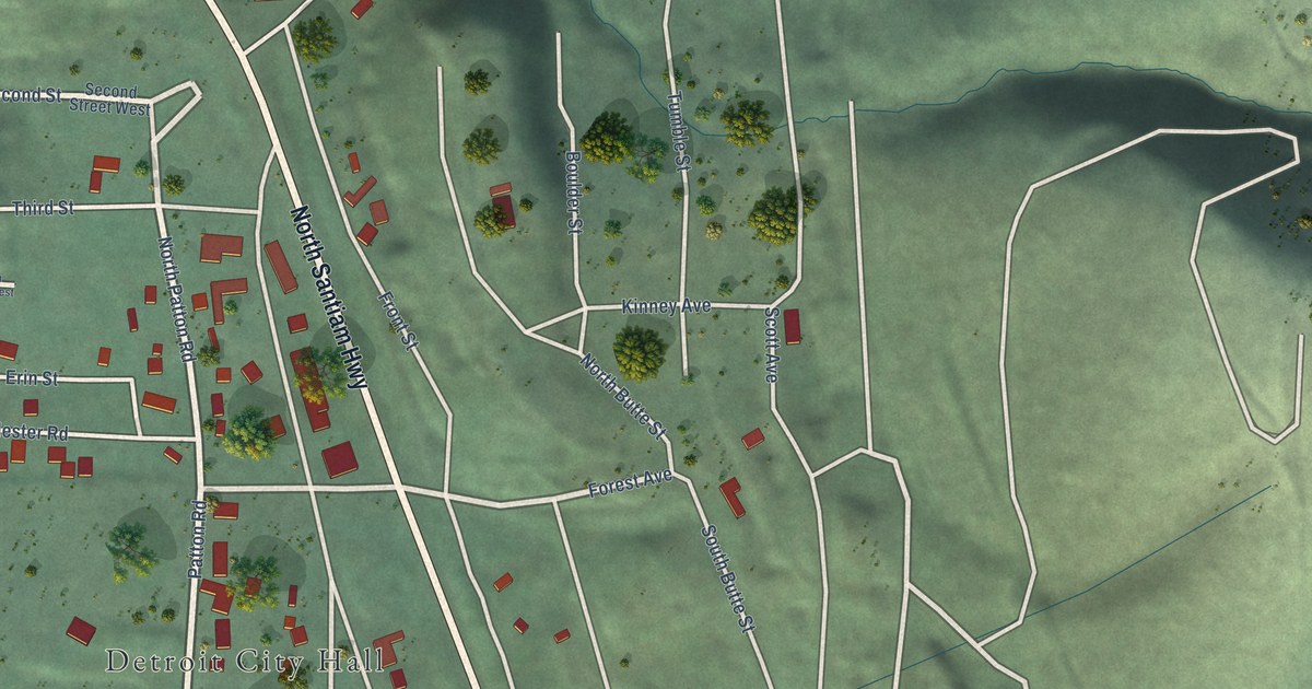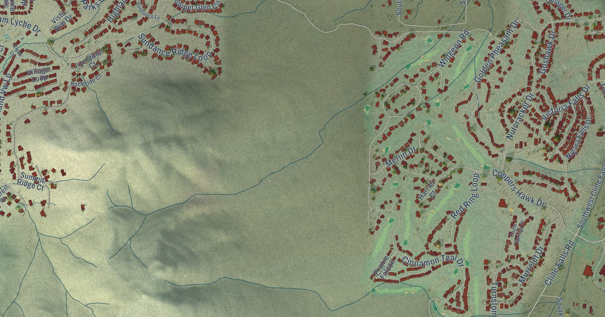
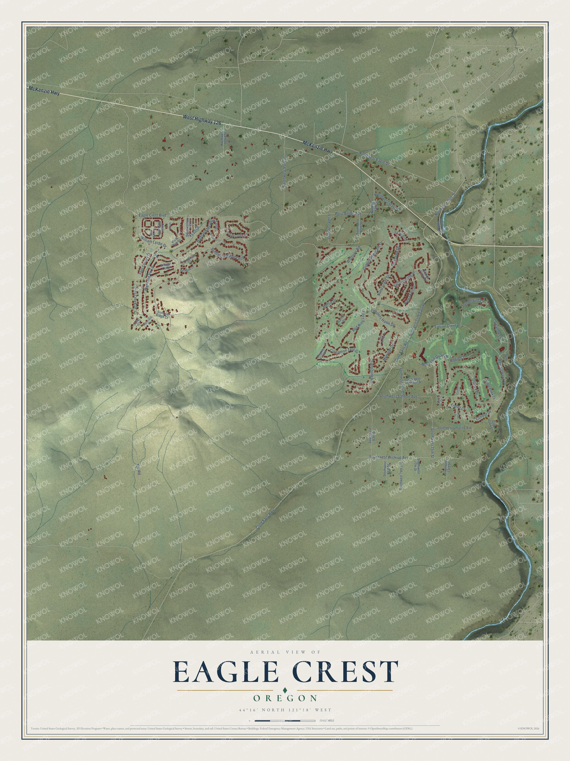
This beautifully detailed map of Eagle Crest, Oregon was created in 2026 using aerial imagery combined with modern topographical, census, street and landmark data. It's a modern aerial view of Eagle Crest in Deschutes County, Oregon, that combines modern data with a vintage aesthetic. The roads feature printed names, and if you look closely you can find your exact house accurately shown in its correct location.
Explore an aerial view of Eagle Crest, Oregon
On this map you'll find McKenzie Highway, West Highway 126, Cline Falls Road, Northwest Eagle Drive, Cline Falls Highway, Falcon Crest Drive, Redtail Hawk Drive, Vor Road, Eagle Crest Boulevard, Cinnamon Teal Drive, Highland Vw Lp, William Lyche Drive, and more. Each red shape is a building, so zoom in on the preview and look for yours.
Eagle Crest has a story worth telling. Cline Buttes took their name from Dr. C. A. Cline, a well-known Redmond dentist who owned Cline Falls, just to the northeast on the Deschutes River. Dr. Cline lived from 1850 to 1926. That's from the Oregon Geographic Names book.
Eagle Crest is a community in Deschutes County. The Census Bureau counted 2,761 people here in 2020.
Take a closer look at the Eagle Crest map
Names on this map
These names are printed on this map.
Streets and roads: McKenzie Highway, West Highway 126, Cline Falls Road, Northwest Eagle Drive, Cline Falls Highway, Falcon Crest Drive, Redtail Hawk Drive, Vor Road, Eagle Crest Boulevard, Cinnamon Teal Drive, Highland Vw Lp, William Lyche Drive.
More street names, A to Z
Blue Heron, Cardinal Court, Cliff Hawk Court, Condor Court, Condor Drive, Coopers Hawk Drive, Creek Lane, Desert Sky Loop, Eagle Springs Court, Golden Pheasant Drive, Goshawk Drive, Harrier Court, Highcrest Court, Highland Meadow Loop, Ironstone Court, Jubel Court, Juniper Glen Circle, Linnet Lane, Merlin Drive, Mountain Quail Drive, Murrelet Drive, Nigara Falls Drive, Northwest 74th Street, Northwest 83rd Street, Northwest 95th Street, Northwest 103rd Street, Northwest Oasis Drive, Nutcracker Drive, Osprey Drive, Parks Loop, Prairie Falcon, Red Ring Loop, Ribbon Falls Road, Ridge Hawk Court, Robin Court, Rockside Court, Sage Country Court, Southwest 73rd Street, Southwest 75th Street, Southwest 77th Street, Southwest 79th Avenue, Southwest 79th Street, Southwest 81st Street, Southwest 83rd Street, Southwest 85th Street, Southwest 89th Street, Southwest Cline Falls Road, Southwest Eagle Drive, Southwest Reindeer Street, Southwest Salmon Avenue, Southwest Umatilla Avenue, Southwest Wickiup Avenue, Split Rail Lane, Summit Ridge Court, Sundance Lane, Sundance Ridge Loop, Sun Vista Drive, Swallow Lane, Tanager Drive, Thrush Court, Thunderbird Court, Trail Creek Drive, Turnstone Road, Victoria Falls Drive, Village Loop, Vista Rim Drive, West Antler Avenue, Widgeon Road, Willamette Park Lane.
See it on a wall
The Eagle Crest map as a framed print. Swipe for more.


Created by KNOWOL in 2026. The buildings are small red shapes, the roads carry their printed names, and shaded relief shows the shape of the land. The title panel reads "AERIAL VIEW OF EAGLE CREST, OREGON" with 44°16' NORTH 121°18' WEST.
It looks right in a kitchen, an office or a den, and it's a gift for anyone who grew up in Eagle Crest or moved away. Open the preview and find your street. See sizes and frames for the Eagle Crest map.