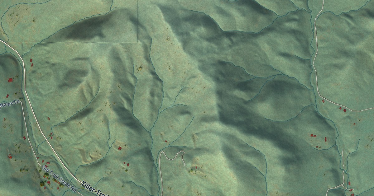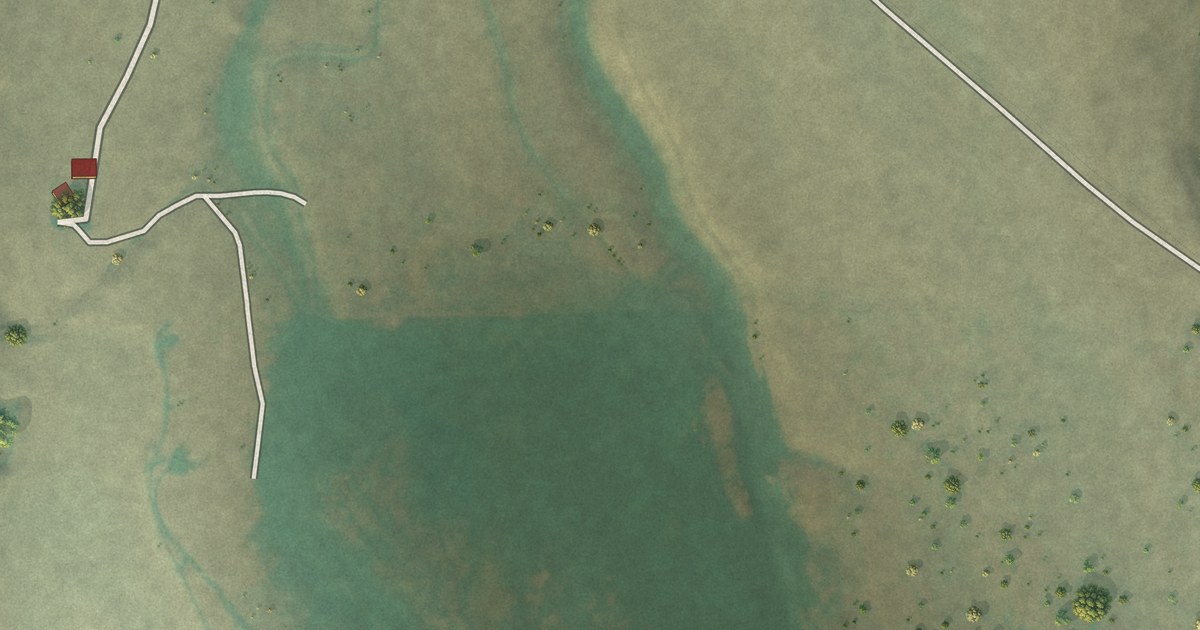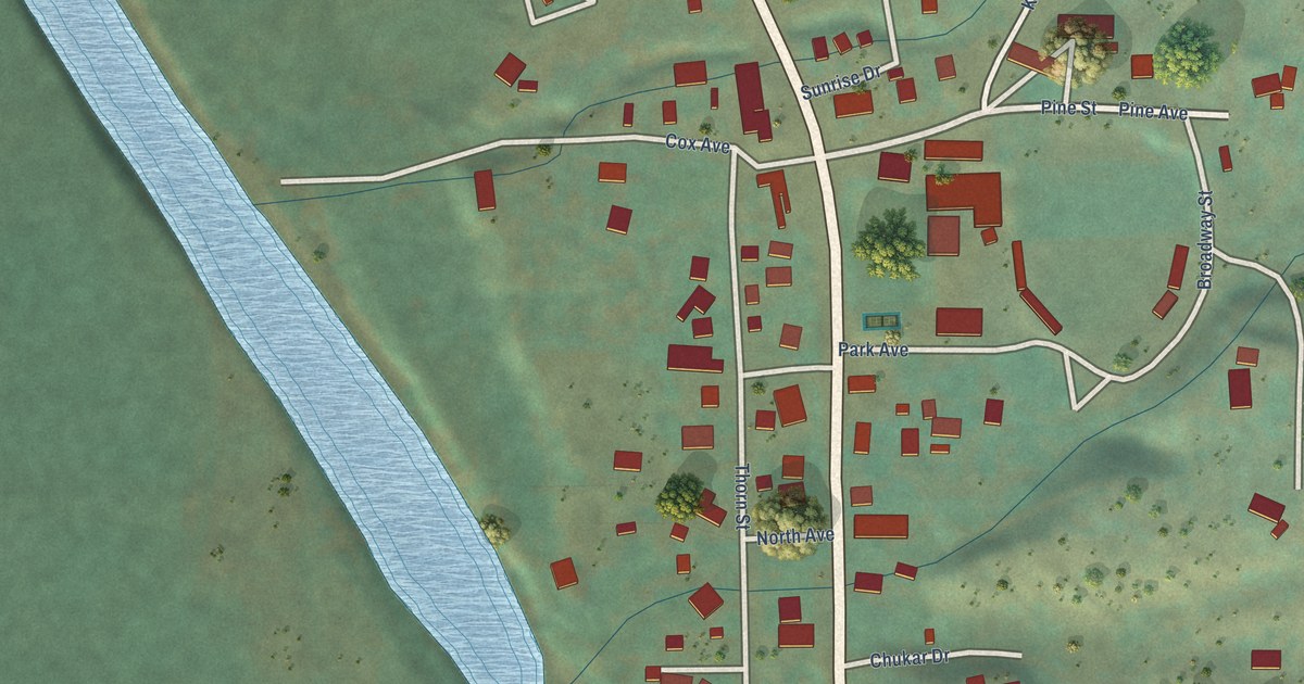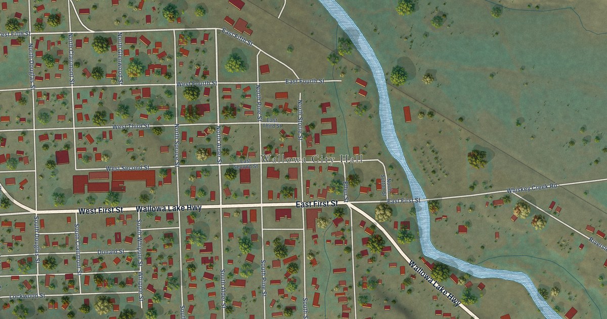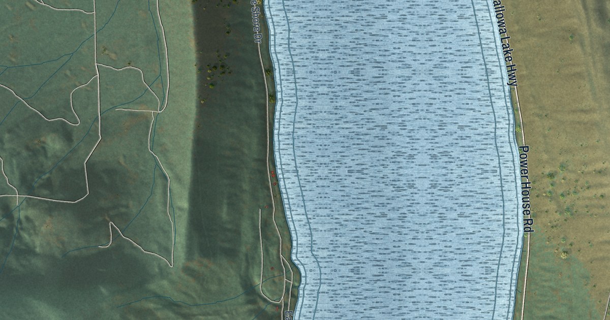
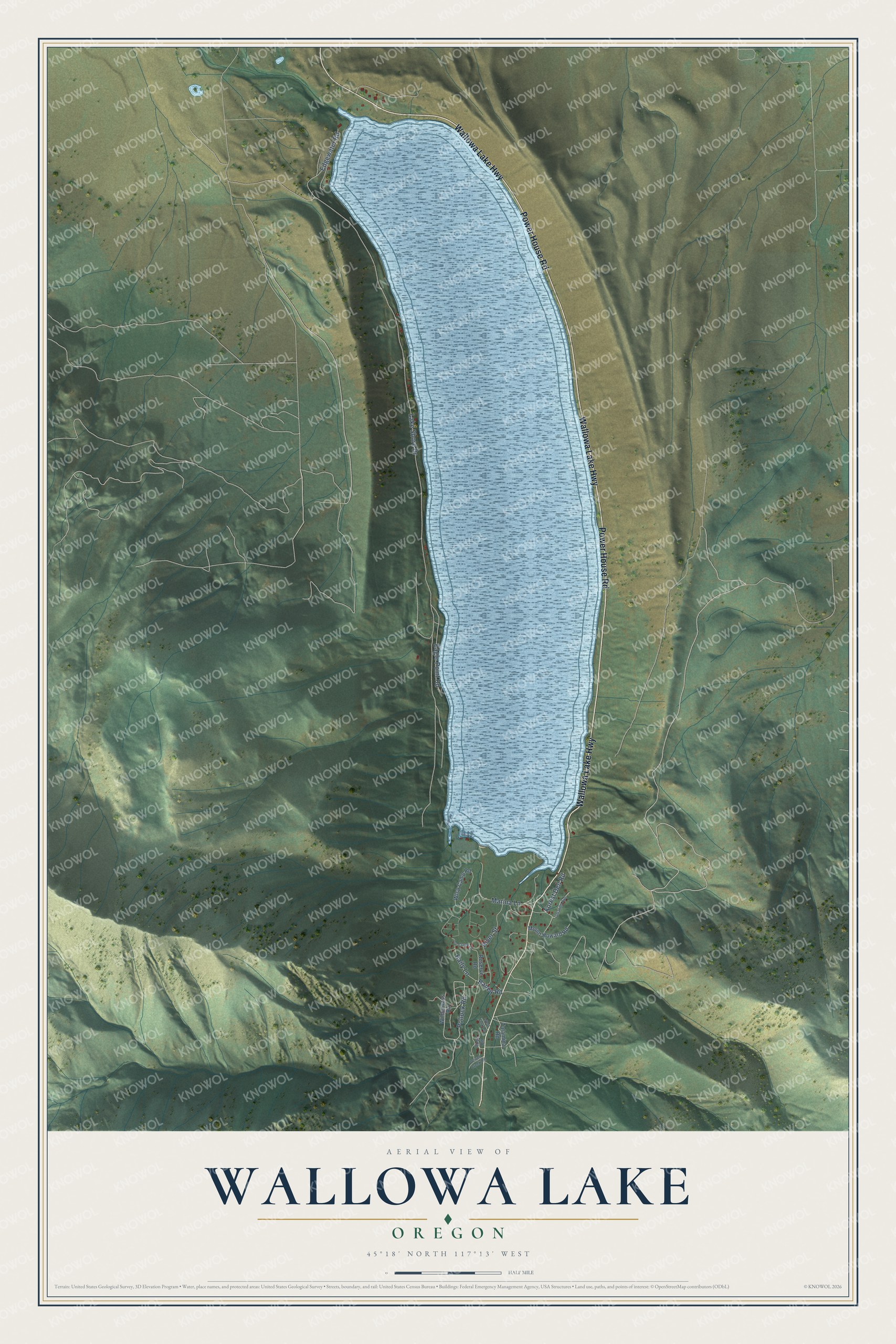
This beautifully detailed map of Wallowa Lake, Oregon was created in 2026 using aerial imagery combined with modern topographical, census, street and landmark data. It's a modern aerial view of Wallowa Lake in Wallowa County, Oregon, that combines modern data with a vintage aesthetic. The roads feature printed names, and if you look closely you can find your exact house accurately shown in its correct location.
Explore an aerial view of Wallowa Lake, Oregon
On this map you'll find Power House Road, Wallowa Lake Highway, Pollock Road, Baily Lane, Bailey Road, Lake Shore Drive, River Street, Marina Lane, Eagle Point Road, Edgewater Road, Forest Dell Road, Talamina Road, and more. Each red shape is a building, so zoom in on the preview and look for yours.
Every town has a first chapter, and Wallowa Lake is no exception. In July 2022 more than nine acres at Wallowa Lake Lodge were dedicated as a conservation easement to the Nez Perce Tribe in perpetuity, to keep the headwaters of the lake pristine. Sam Penney, chairman of the Nez Perce Tribal Executive Committee, said the Nimiipuu have always been stewards of this land. One of the tribe's main goals was to see sockeye salmon return to the lake. That's from the Wallowa County Chieftain.
Wallowa Lake is a community in Wallowa County. The Census Bureau counted 72 people here in 2020.
Take a closer look at the Wallowa Lake map
Names on this map
These names are printed on this map.
Streets and roads: Power House Road, Wallowa Lake Highway, Pollock Road, Baily Lane, Bailey Road, Lake Shore Drive, River Street, Marina Lane, Eagle Point Road, Edgewater Road, Forest Dell Road, Talamina Road.
More street names, A to Z
Ice Creek Lane, Mount Howard Road, Power Creek Road, Reserve Road, Rose Road, Umatilla Avenue, West Fork Lane, Wilderness Road, Wlsp Camp Road.
See it on a wall
The Wallowa Lake map as a framed print. Swipe for more.


Created by KNOWOL in 2026. The buildings are small red shapes, the roads carry their printed names, and shaded relief shows the shape of the land. The title panel reads "AERIAL VIEW OF WALLOWA LAKE, OREGON" with 45°18' NORTH 117°13' WEST.
Hang it in the hallway, the office or the cabin, or give it to someone who left Wallowa Lake and still calls it home. Open the preview and look for a street you know. See sizes and frames for the Wallowa Lake map.