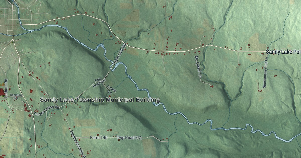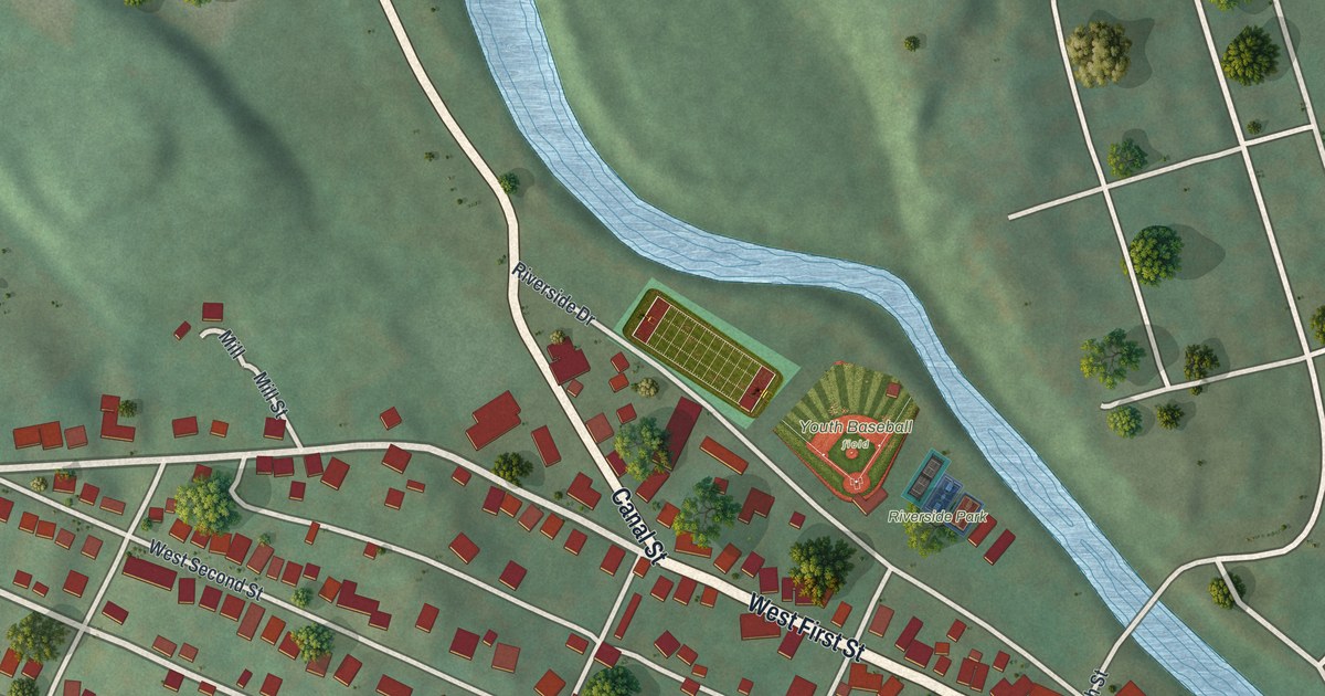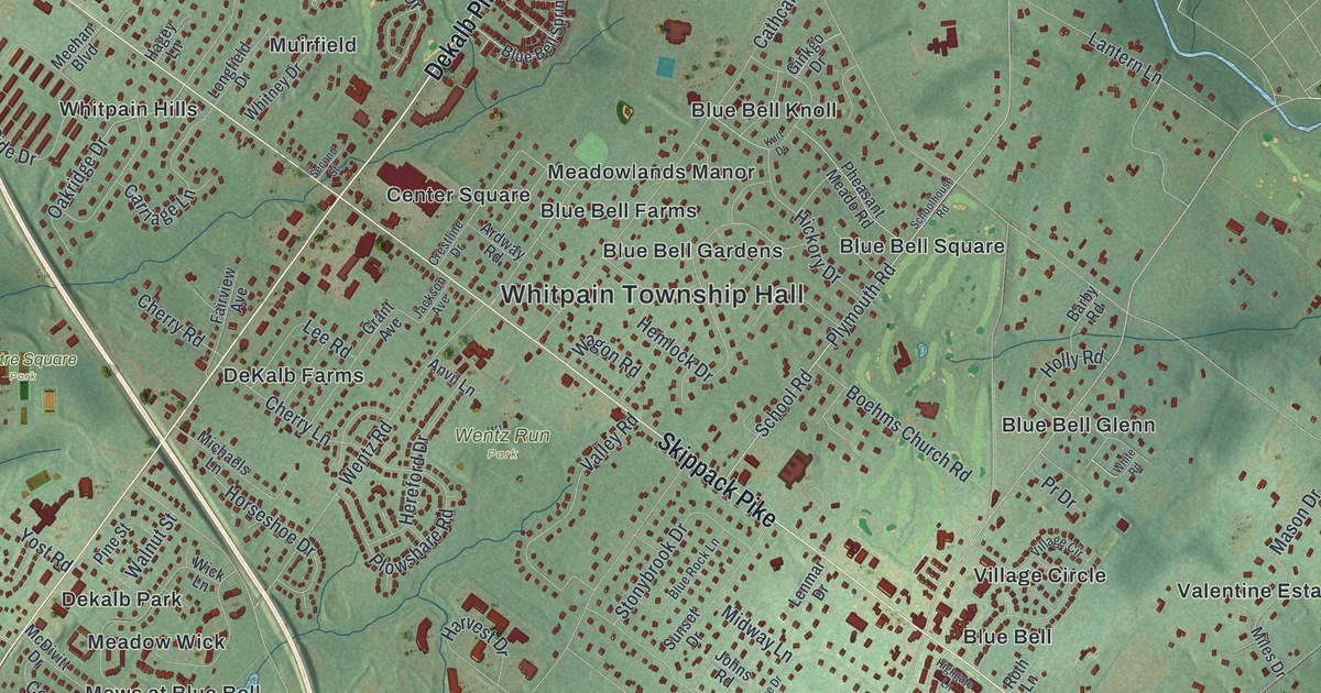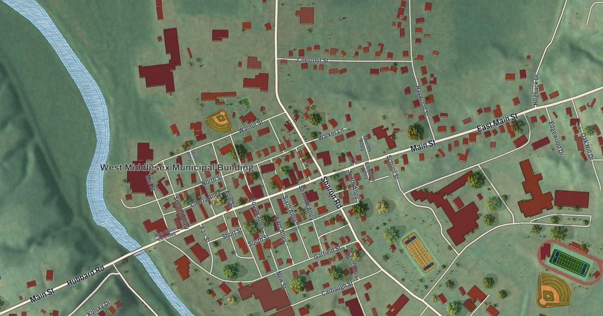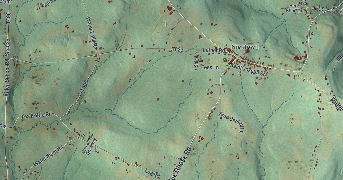
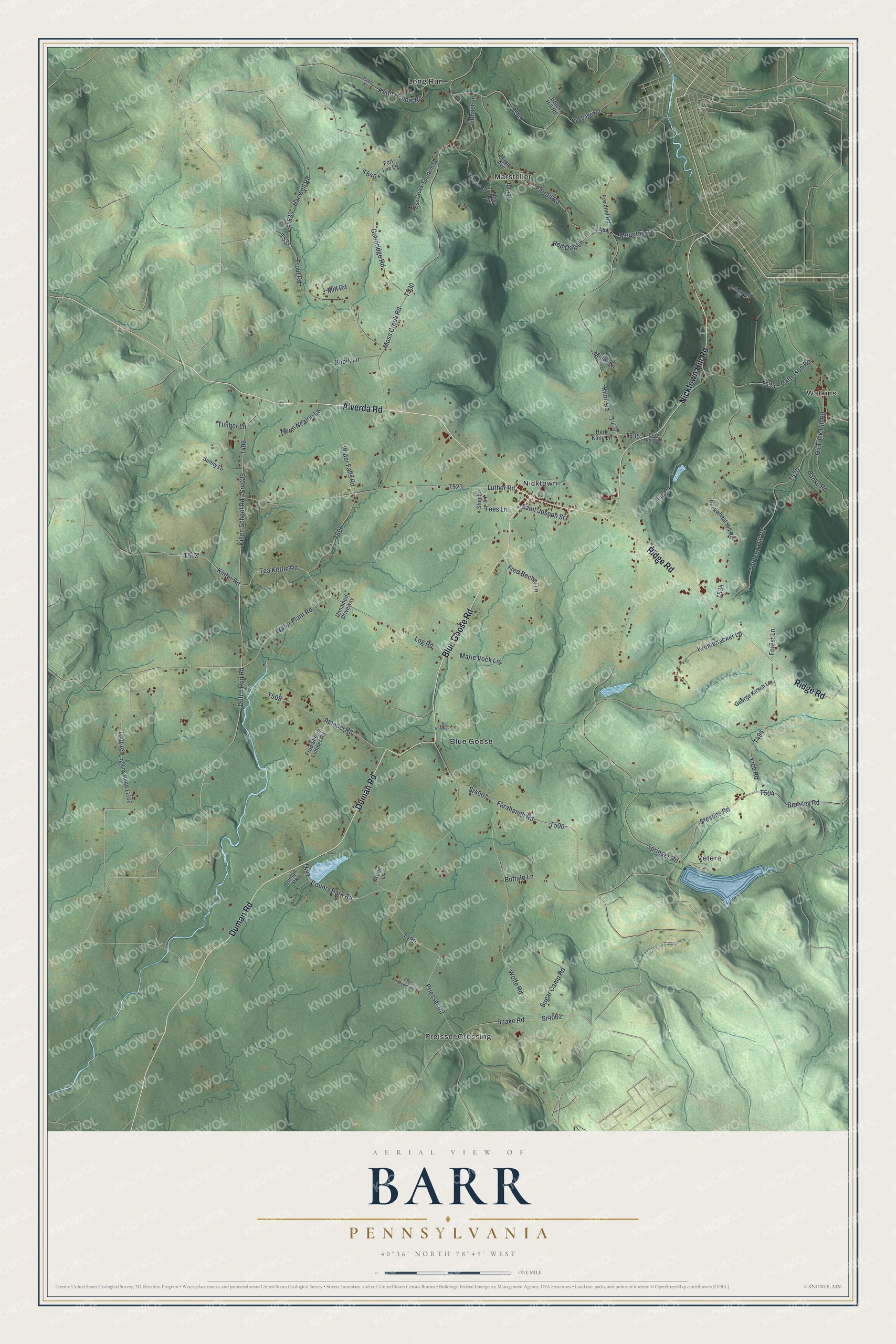
This beautifully detailed map of Barr, Pennsylvania was created in 2026 using aerial imagery combined with modern topographical, census, street and landmark data. It's a modern aerial view of Barr in Cambria County, Pennsylvania, that combines modern data with a vintage aesthetic. The roads feature printed names, and if you look closely you can find your exact house accurately shown in its correct location.
Explore an aerial view of Barr, Pennsylvania
On this map you'll find Blue Goose, Long Run, Marsteller, Nicktown, Preisser Crossing, Vetera, Watkins, Alverda Road, Blue Goose Road, Duman Road, Ridge Road, Nicktown Hill Road, and more. Each red shape is a building, so zoom in on the preview and look for yours.
Here is a piece of Barr history, in the words of the record. The Cambria County RootsWeb puts it this way: "The village of Nicktown grew up around the Catholic parish of St. Nicholas which was established there with 38 members in 1861. This beautiful country village of about 220 people sits on a high level spot near the center of the township."
Barr is a place in Cambria County. The Census Bureau counted 2,049 people here in 2020.
Take a closer look at the Barr map
Names on this map
These names are printed on this map.
Places: Blue Goose, Long Run, Marsteller, Nicktown, Preisser Crossing, Vetera and Watkins.
Streets and roads: Alverda Road, Blue Goose Road, Duman Road, Ridge Road, Nicktown Hill Road, Sr4001, Dutch Run Road, Log Road, Water Plant Road, Lieb Road, Stevens Road, Springer Road.
More street names, A to Z
Amadei Road, Arotin Lane, Banks Road, Beech, Bellefronte Street, Bill Natcher Lane, Bobik Lane, Brawley Road, Brick Road Lane, Buckwheat Hill Road, Buffalo Lane, Cabbage Road, Clair Kuncelman Lane, Cooper Road, County Park Road, Duman Pk, Farabaugh Road, Farrell Road, Fees Lane, Forest Lane, Fort Lee Lane, Fred Bechel Lane, Fred Sherry Lumber Road, Freidhof Road, George Kirsch Lane, Goodridge Road, Grass Hill Road, Hanwell Road, Herk Kline Lane, Herm Nealen Lane, Illig Lane, Keith Hollow Road, Killen School Road, Kinter Road, Kline Road, Krumenacker Lane, Logging Road 11106, Luther Road, Mabel Street, Maple Avenue, Marie Vock Lane, McCombie Avenue, Miller Lane, Mill Road, Moss Creek Road, Moss Creek Sportsman, Moss Road, Mountain Drive, Oil Tank Hill Road, Patterson Road, Priesser Road, Red Dog Lane, Saint Joseph Street, Shimko Lane, Snake Road, Sr4002, Sr4007, Sr4029, Sugar Camp Road, Sunny Lane, Sunset Lane, Tea Kettle Road, Thirteen Hill Road, Timber Lane, Trout Road, Unnamed Driveway, Water Falls Road, Wolfe Road.
See it on a wall
The Barr map as a framed print. Swipe for more.


Created by KNOWOL in 2026. The buildings are small red shapes, the roads carry their printed names, and shaded relief shows the shape of the land. The title panel reads "AERIAL VIEW OF BARR, PENNSYLVANIA" with 40°36' NORTH 78°49' WEST.
It suits a den, a classroom or a front hall, and it makes a gift for anyone with Barr roots. Open the preview and find the block you know. See sizes and frames for the Barr map.