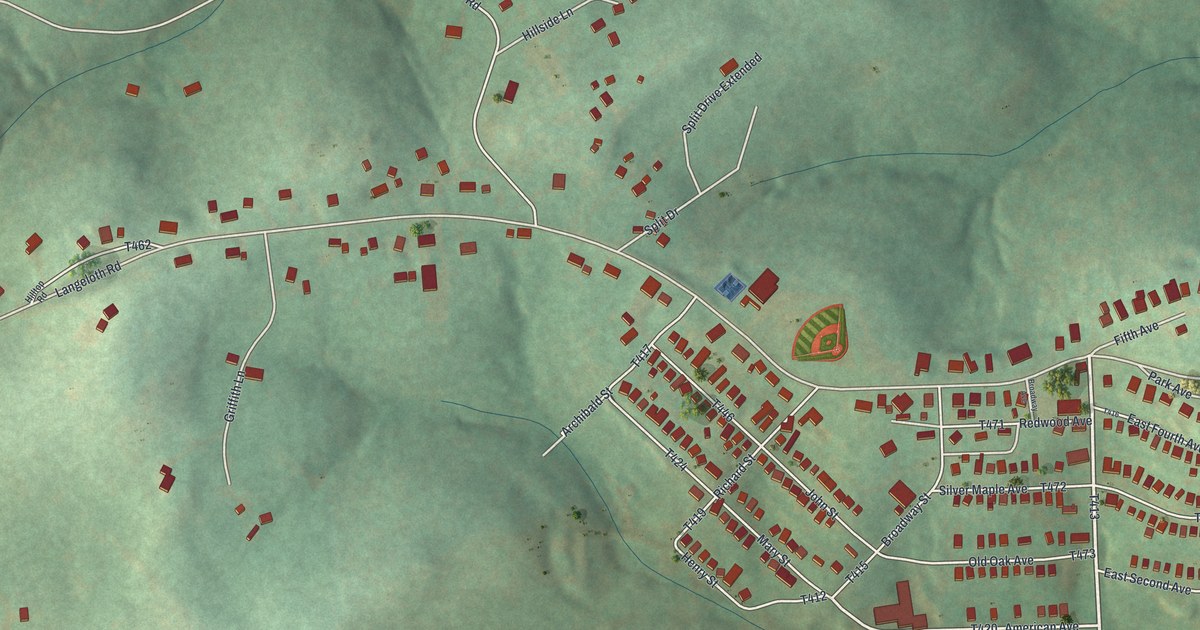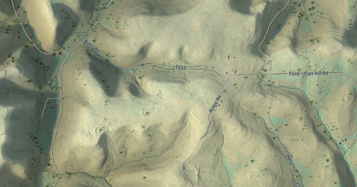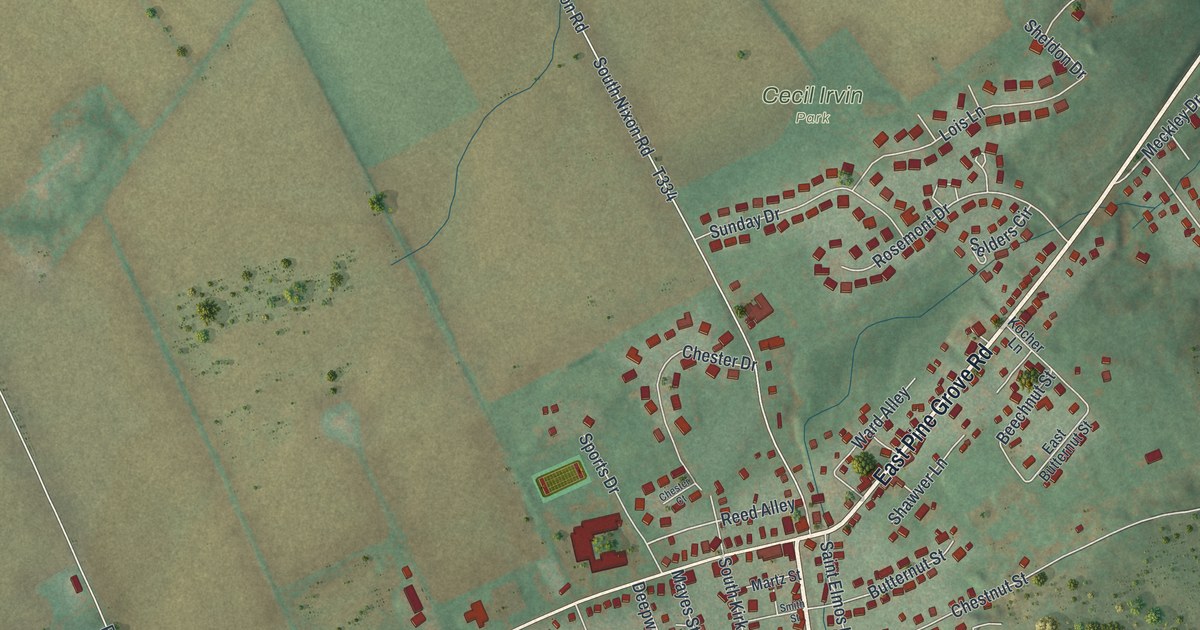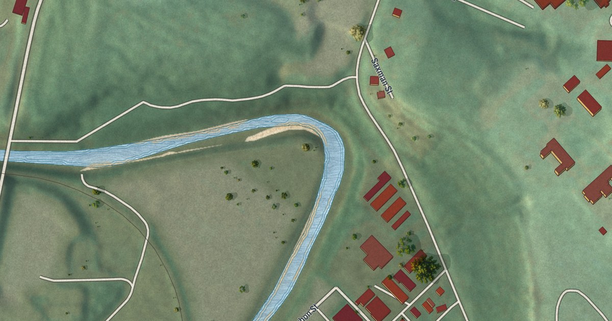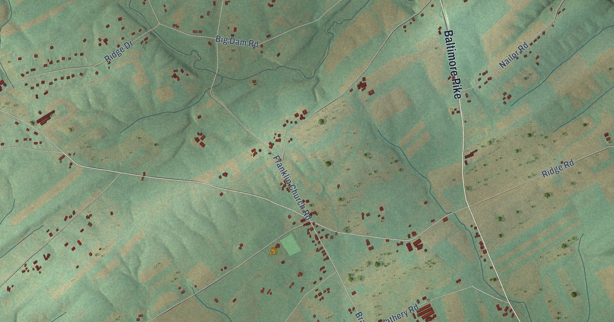
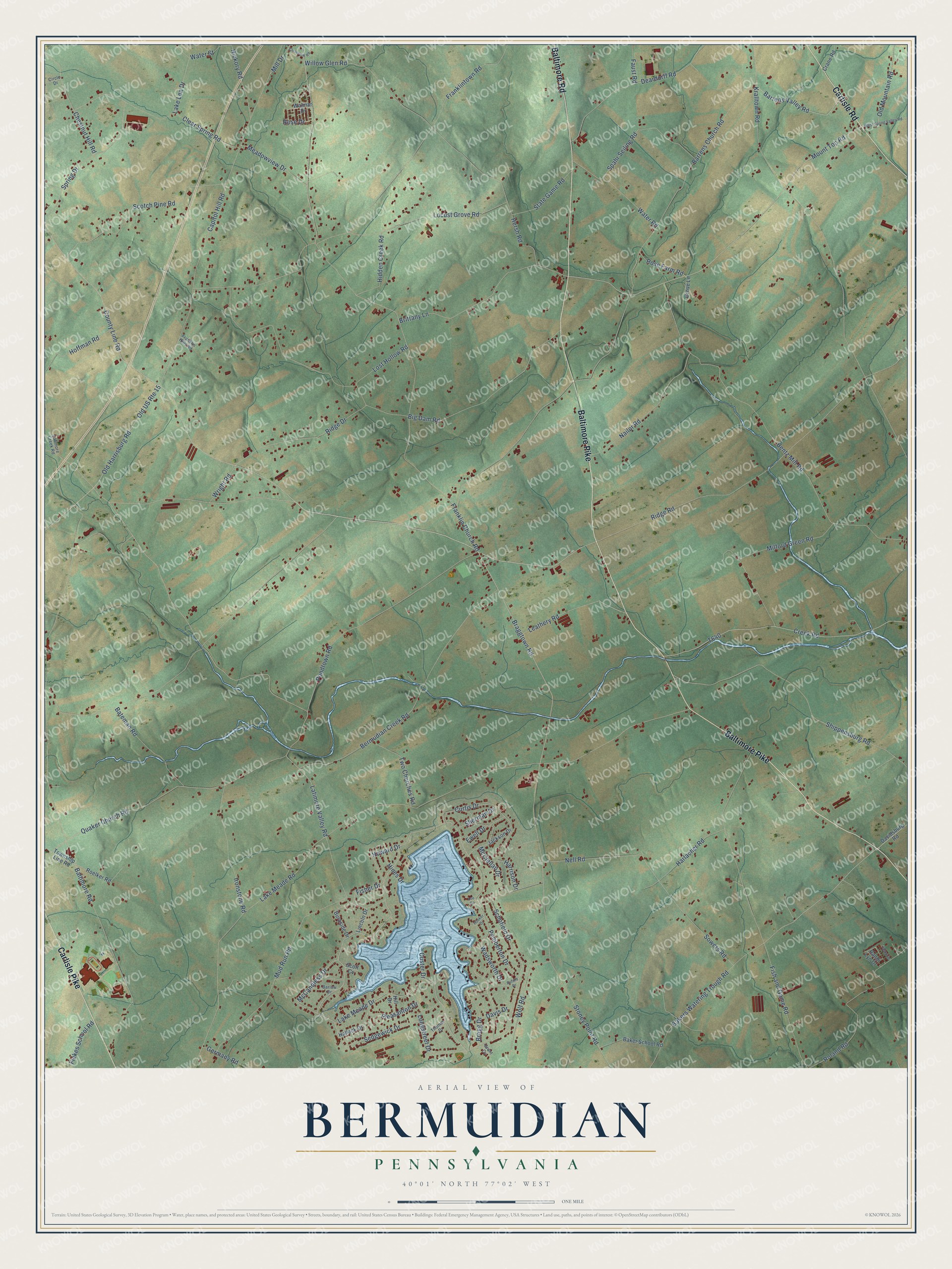
This beautifully detailed map of Bermudian, Pennsylvania was created in 2026 using aerial imagery combined with modern topographical, census, street and landmark data. It’s a one-of-a-kind view of Bermudian that combines accurate data with a vintage aesthetic. The map shows every building in its true location, many of the roads carry their names, and the shaded topographic relief shows the shape of the land.
Explore an aerial view of Bermudian, Pennsylvania
On the map you’ll find Baltimore Pike, Carlisle Pike, Carlisle Road, Baltimore Road, Braggtown Road, Mount Top Road, Lake Meade Drive, Pondtown Road, Barrens Valley Road, Bakers Watering Trough Road, Leathery Road, Latimore Valley Road, and more. If you look closely you can even find your house accurately drawn in its correct location. Zoom in on the preview to look for yours.
Did You Know?
From Internet Archive: "Descendants of Henry Nell settled at Bermudian, Adams Co., Pa., and from there members of the family have scattered all over the L'nited States, one son emigrating to Canada."
Bermudian is a community in York County.
Take a closer look at the Bermudian map
Names on this map
These names are printed on this map.
Streets and roads: Baltimore Pike, Carlisle Pike, Carlisle Road, Baltimore Road, Braggtown Road, Mount Top Road, Lake Meade Drive, Pondtown Road, Barrens Valley Road, Bakers Watering Trough Road, Leathery Road, Latimore Valley Road.
More street names, A to Z
Baker School Road, Barlow Drive, Barrens Church Road, Bateman Road, Bentz Mill Road, Bermudian Creek Road, Big Dam Road, Bragg Drive, Brittany Lane, Buford Drive, Burnside Drive, Capitol Hill Road, Chestnut Hill Road, Circle Drive, Clear Spring Road, Clearview Road, County Line Road, Crane Road, Creek Road, Curtis Drive, Custer Drive, Davidsburg Road, Davis Drive, Deardorff Road, Ewell Drive, Faust Road, Fickes School Road, Fish and Game Road, Fisher Drive, Franklin Church Road, Franklin Hills Road, Franklintown Road, Germany Road, Grant Cv, Grove Lane, Halleck Drive, Harlacher Road, Harrison Drive, Hersh Road, Hickory Road, Hidden Creek Road, Hill Drive, Hines Drive, Hoffman Road, Hooker Drive, Howard Drive, Ironstone Road, Jackson Drive, Jason Drive, Kralltown Road, Lake Lea Drive, Lake Meade Road, Latimore Creek Road, Lee Cv, Lincoln Drive, Locust Grove Road, Longstreet Drive, Lost Hollow Road, McCandless Drive, McClellan Drive, Meadowview Drive, Milford Green Road, Mill Drive, Mud Run Road, Nailor Road, Nell Road, Old Harrisburg Road, Old Mountain Road, Old US Route 15, Pemberton Drive, Pleasanton Drive, Quaker Church Road, Randi Lyn Drive, Ridge Drive, Ridge Road, Roelker Road, Roland Road, Rose Drive, Rose Farm Road, Schofield Drive, Scotch Pine Road, Scott Cv, Sedgewick Drive, Sherman Drive, Shippensburg Road, Sowers Road, Spahr Seiling Road, Spring Drive, State Game Road, Stoney Point Road, Thomas Drive, Township Line Road, Two Churches Road, Wadsworth Drive, Walmar Drive, Water Road, Water Street, West Spring Valley Road, Willow Glen Road, Wolf Road, Wright Road.
See it on a wall
The Bermudian map as a framed print. Swipe for more.


This beautifully detailed map of Bermudian makes an attractive addition to your office, library, or den, and it can even be used to teach children the geography and history of the area. It also makes a great gift for anyone with Bermudian roots. When you’re done exploring, click here to get your copy of the Bermudian map.