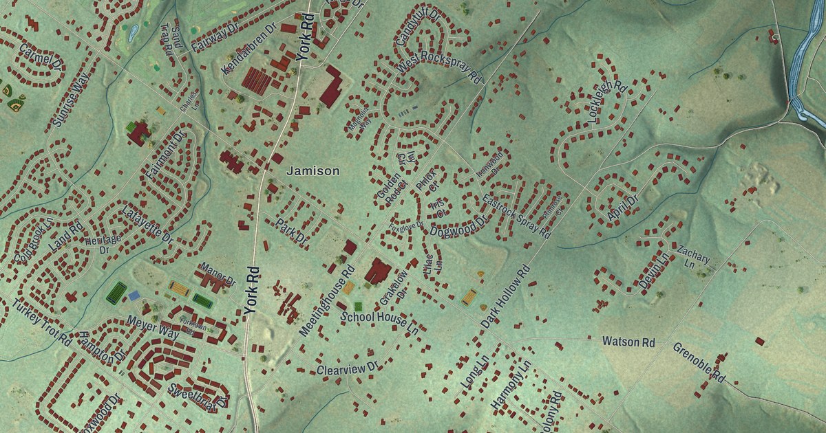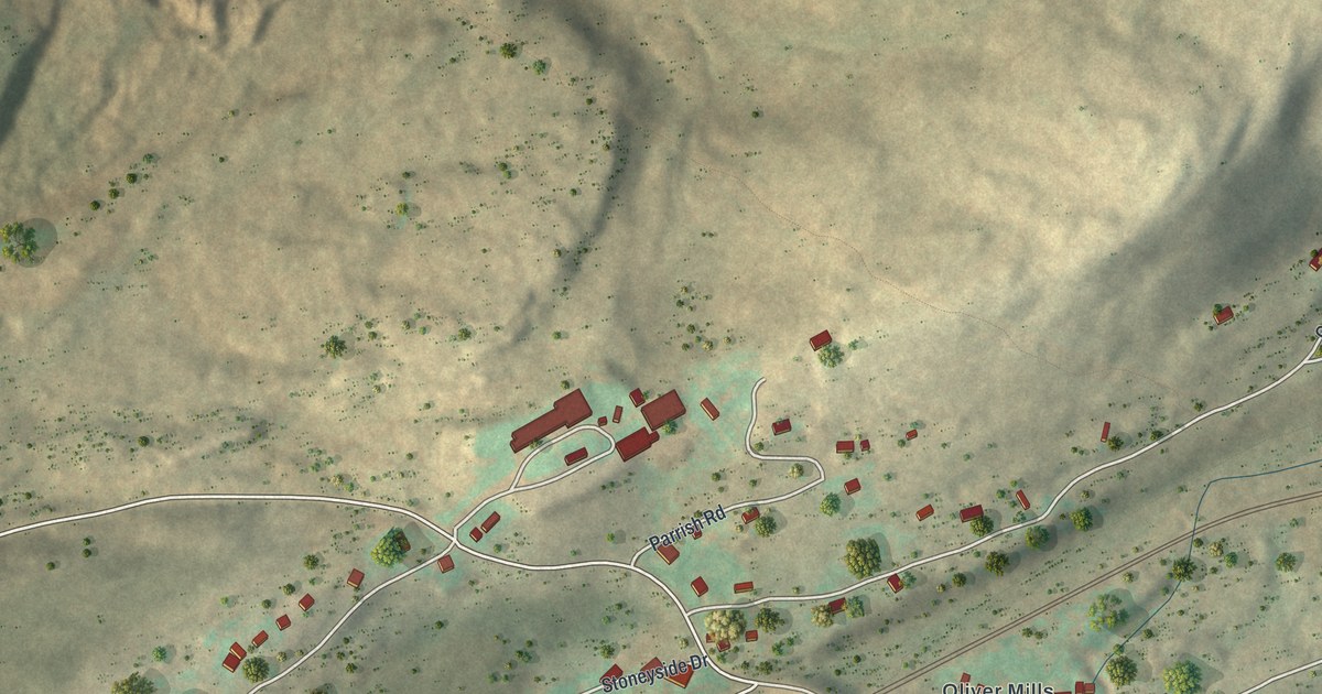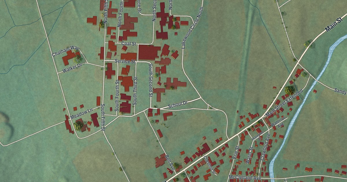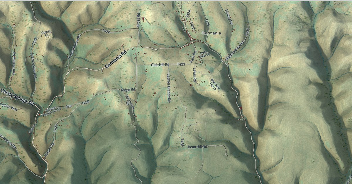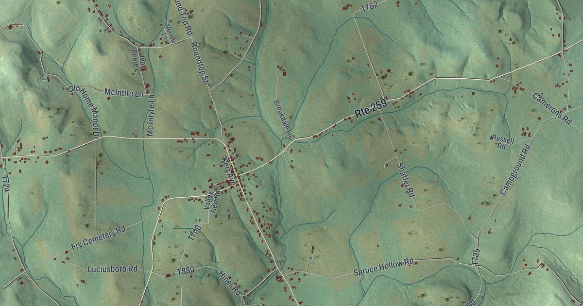
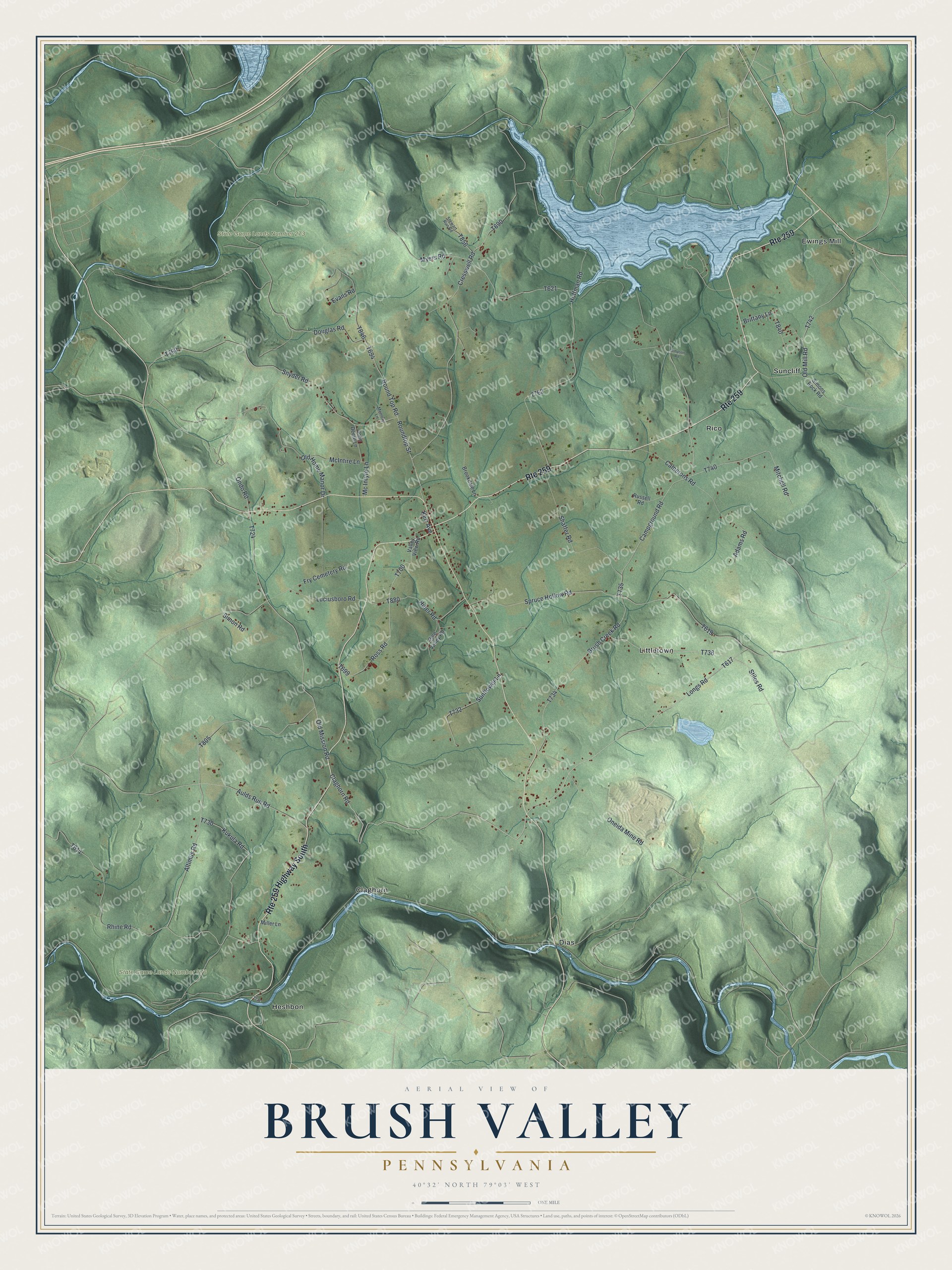
This beautifully detailed map of Brush Valley, Pennsylvania was created in 2026 using aerial imagery combined with modern topographical, census, street and landmark data. It's a modern aerial view of Brush Valley in Indiana County, Pennsylvania, that combines modern data with a vintage aesthetic. The roads feature printed names, and if you look closely you can find your exact house accurately shown in its correct location.
Explore an aerial view of Brush Valley, Pennsylvania
On this map you'll find State Game Lands Number 273, State Game Lands Number 276, Claghorn, Dias, Ewings Mill, Heshbon, Littletown, Rico, Suncliff, Stiles Road, T617, Claghorn Road, and more. Each red shape is a building, so zoom in on the preview and look for yours.
Here is a piece of Brush Valley history, in the words of the record. The Indiana County Pennsylvania puts it this way: "The Altimus family, particularly well known in Brushvalley township, is one of the oldest and most respected in this portion of Indiana county."
Brush Valley is a place in Indiana County. The Census Bureau counted 1,675 people here in 2020.
Take a closer look at the Brush Valley map
Names on this map
These names are printed on this map.
Places: State Game Lands Number 273, State Game Lands Number 276, Claghorn, Dias, Ewings Mill, Heshbon, Littletown, Rico and Suncliff.
Streets and roads: Route 259, Route 259 Highway South, Stiles Road, Claghorn Road, Old Home Manor Drive, Old Mission Road, Luciusboro Road, Ondo Road, Roundtop Street, Campground Road, Spruce Hollow Road, Altimus Road.
More street names, A to Z
Adams Road, Aulds Run Road, Brittany Lane, Brookdale Lane, Brush Creek Road, Camerons Road, Cresswell Road, Douglas Road, Evans Road, Fry Cemetery Road, Hiner Road, Hoffman Road, John Deere Lane, Kerr Avenue, Kukula Road, Longs Road, McIntire Lane, Mc Intyre Lane, Memory Lane, Miller Lane, Mitchell Road, Myers Road, Old Mill Road, Oneida Mine Road, Pine Valley Road, Rhine Road, Ross Road, Round Top Road, Russell Road, Shaffer Road, Simon Road, Simons Rock Road, Simpson Road, Snyder Road, Stewart Run Road, Sunflower Lane, Valley View Road.
See it on a wall
The Brush Valley map as a framed print. Swipe for more.


Created by KNOWOL in 2026. The buildings are small red shapes, the roads carry their printed names, and shaded relief shows the shape of the land. The title panel reads "AERIAL VIEW OF BRUSH VALLEY, PENNSYLVANIA" with 40°32' NORTH 79°03' WEST.
It suits a den, a classroom or a front hall, and it makes a gift for anyone with Brush Valley roots. Open the preview and find the block you know. See sizes and frames for the Brush Valley map.