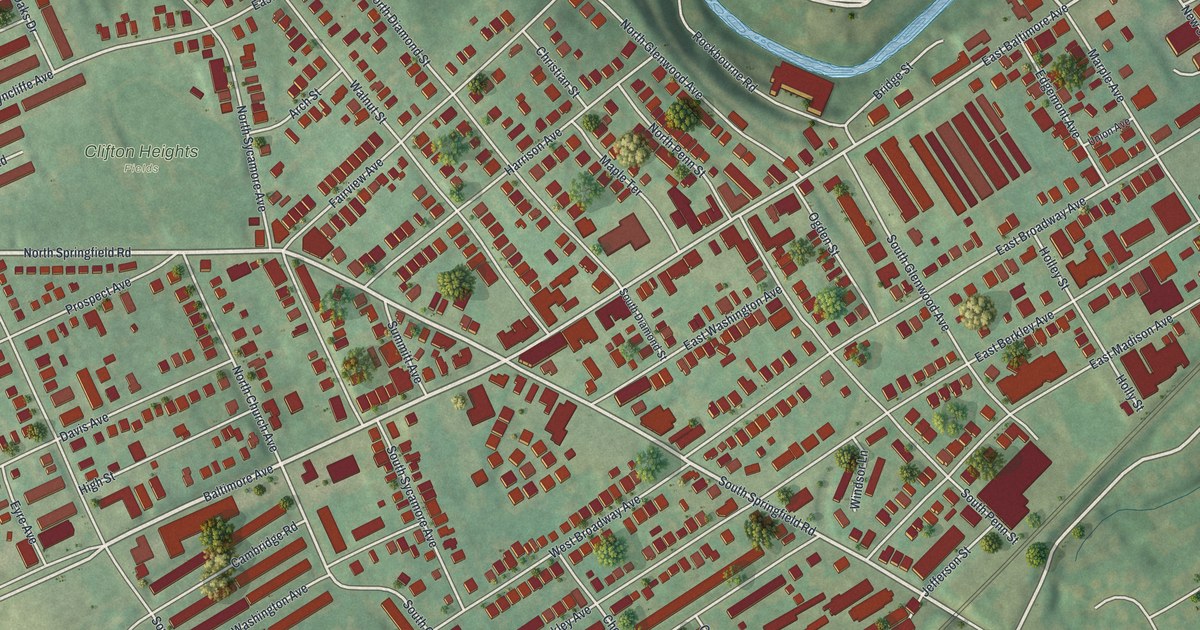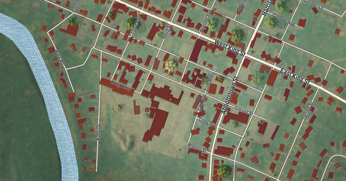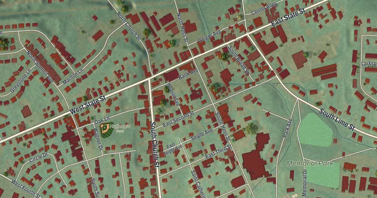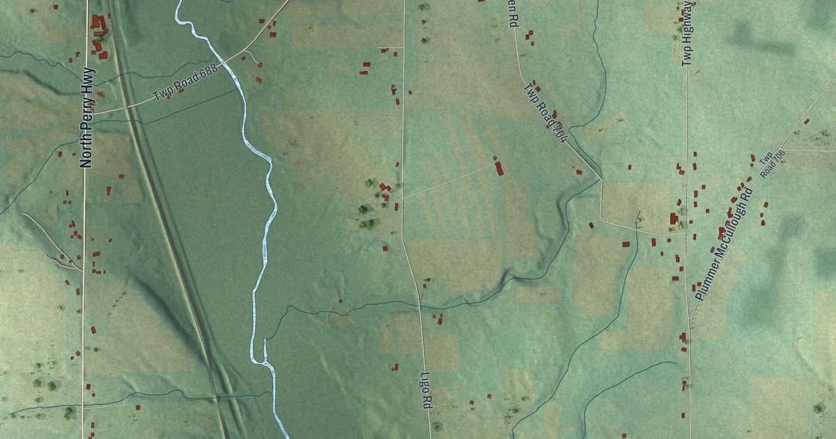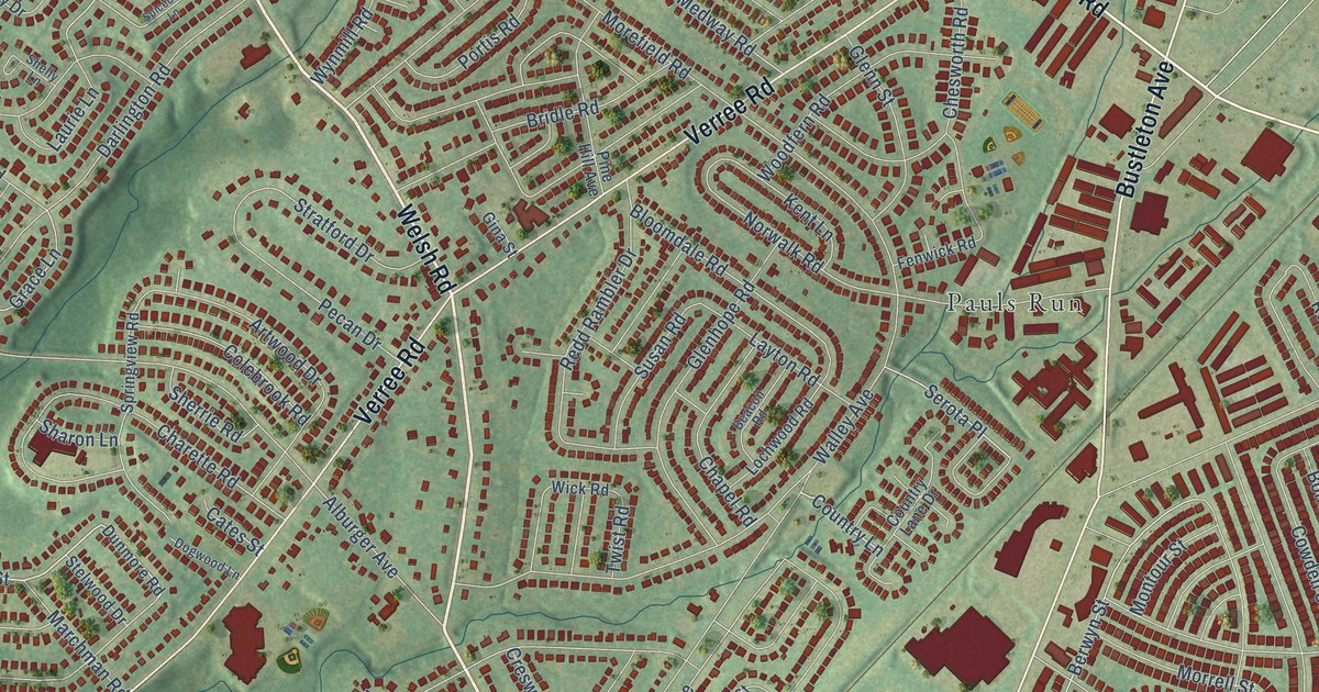
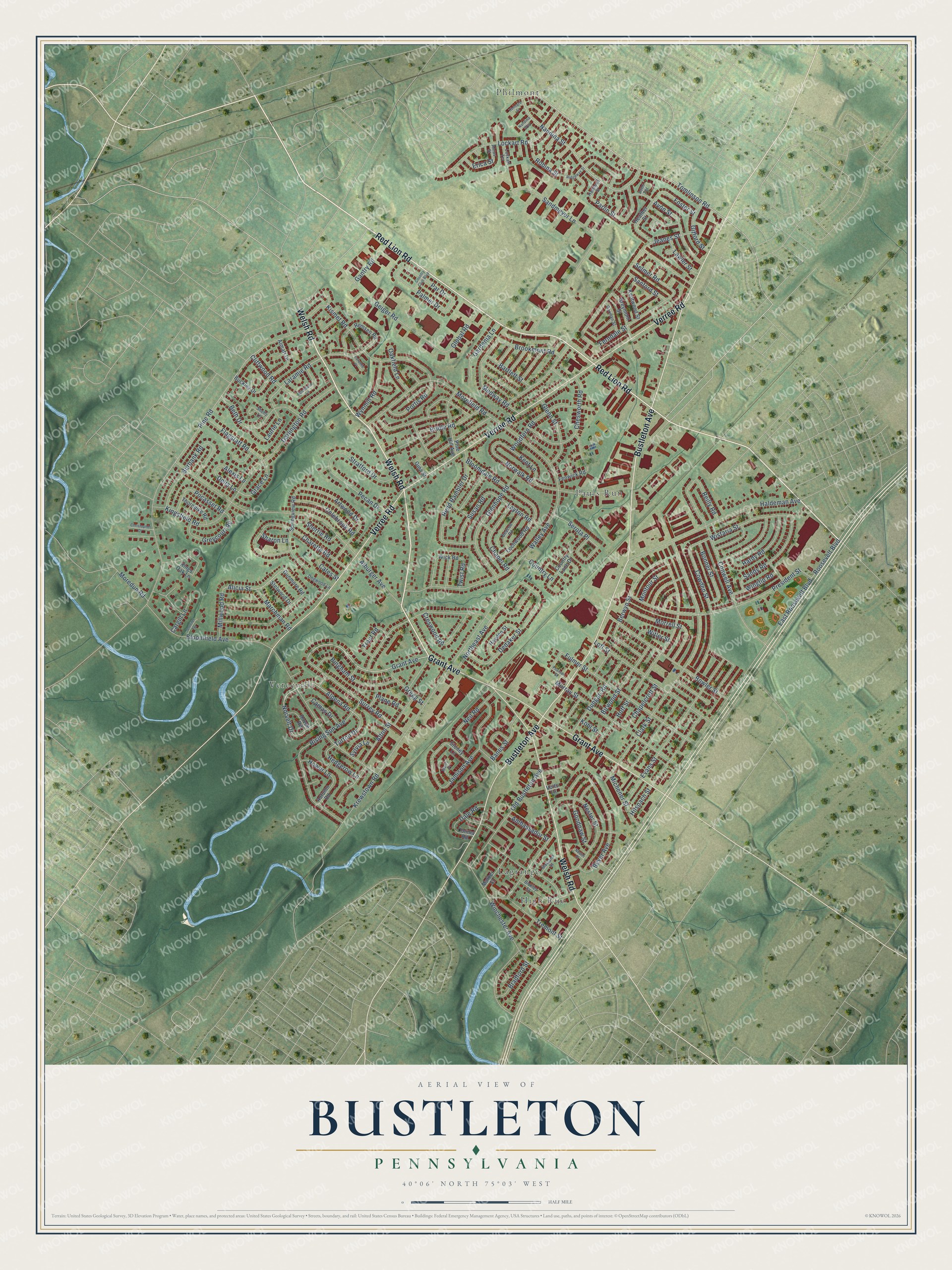
This beautifully detailed map of Bustleton, Pennsylvania was created in 2026 using aerial imagery combined with modern topographical, census, street and landmark data. It’s a one-of-a-kind view of Bustleton that combines accurate data with a vintage aesthetic. The map shows every building in its true location, many of the roads carry their names, and the shaded topographic relief shows the shape of the land.
Explore an aerial view of Bustleton, Pennsylvania
On the map you’ll find Pauls Run, High Rue, Philmont, Vereeville, and Lagrange, along with Welsh Road, Red Lion Road, Bustleton Avenue, Verree Road, Grant Avenue, Tomlinson Road, Norvelt Drive, and more. If you look closely you can even find your house accurately drawn in its correct location. Zoom in on the preview to look for yours.
Did You Know?
From Internet Archive: "George Duffield (grandfather) was the son of Jacob Duffield, who emigrated from England and settled near Bustleton, about 1750, and followed the occupation of farming."
Bustleton is a place in Philadelphia County.
Take a closer look at the Bustleton map
Names on this map
These names are printed on this map.
Places: Pauls Run, High Rue, Philmont, Vereeville and Lagrange.
Streets and roads: Welsh Road, Red Lion Road, Bustleton Avenue, Verree Road, Grant Avenue, Tomlinson Road, Norvelt Drive, Alicia Street, Nandina Street, Country Lane, Alpena Road, Turton Drive.
More street names, A to Z
Alburger Avenue, Alexis Lane, Almatt Drive, Alnus Street, Alton Street, Ambassador Street, Artwood Drive, Autumn Road, Avon Street, Avon Terrace, Banes Street, Bartlett Street, Beacon Road, Berwyn Street, Beth Drive, Beyer Avenue, Bickley Street, Bingham Street, Birwood Street, Bloomdale Road, Bloomfield Avenue, Bonner Street, Bowler Street, Bradford Street, Bridle Road, Brookmont Road, Buckley Drive, Burbank Road, Camas Drive, Cargill Lane, Cates Street, Chapelcroft Street, Chapel Road, Charette Road, Chesworth Road, Christopher Drive, Clark Street, Cliffwood Road, Colebrook Road, Colima Road, Conwell Avenue, Country Club Boulevard, Country Lane Drive, Cowden Street, Creswood Road, Dale Road, Darlington Road, Dedaker Street, Delia Lane, Dogwood Lane, Dungan Road, Dunmore Road, East Roosevelt Boulevard, Erica Street, Evans Street, Fenwick Road, Ferndale Street, Flagstaff Road, Foster Street, Fulmer Street, Gantry Road, Gardenia Lane, Geiger Road, Gifford Street, Gina Street, Glenhope Road, Glenn Street, Global Road, Goodnaw Street, Gorman Street, Grace Lane, Gregg Street, Greycourt Road, Greymont Street, Haldeman Avenue, Halstead Street, Hardy Road, Hayden Street, Heather Street, Hedgerow Lane, Hilspach Street, Hoff Street, Hoven Road, Hower Lane, Jamison Avenue, Jeanes Street, Jennifer Terrace, Kent Lane, Kentwood Street, Kingsfield Road, Kings Oak Lane, Kismet Road, Kohl Street, Krewstown Road, Laramie Place, Laramie Road, Laurie Lane, Lawler Street, Layton Road, Lochwood Road, Lockart Road, Lockart Terrace, Lott Street, Marchman Road, Marcy Place, Masland Street, Mather Street, Medway Road, Michener Street, Millwood Road, Montour Street, Moredun Road, Morefield Road, Morrell Street, Murray Street, Nandina Way, Neil Road, Nester Place, Nester Street, Northeast Avenue, Norwalk Road, Oakfield Lane, Old Bustleton Avenue, Palmer Drive, Par Drive, Parlin Street, Pearson Street, Pecan Drive, Pine Hill Avenue, Pine Road, Plane Road, Pocasset Road, Portis Road, President Street, Redd Rambler Drive, Reilly Road, Remsen Road, Rennard Street, Ridgeway Street, Rising Sun Avenue, Robina Street, Roosevelt Boulevard, Sandmeyer Lane, Sandy Road, Sanford Street, Selmer Road, Serota Place, Sharon Lane, Shelly Lane, Sherrie Road, Spicebush Lane, Springview Road, Stelwood Drive, Stoney Lane, Stratford Drive, Surrey Road, Susan Road, Sylvia Lane, Thorndike Road, Tremont Street, Trout Road, Twist Road, Voits Lane, Walley Avenue, Wick Road, Winchester Avenue, Wingtip Road, Wistaria Street, Witler Street, Woodfern Road, Wynmill Road.
See it on a wall
The Bustleton map as a framed print. Swipe for more.


This beautifully detailed map of Bustleton makes an attractive addition to your office, library, or den, and it can even be used to teach children the geography and history of the area. It also makes a great gift for anyone who grew up in Bustleton or moved away. When you’re done exploring, click here to get your copy of the Bustleton map.