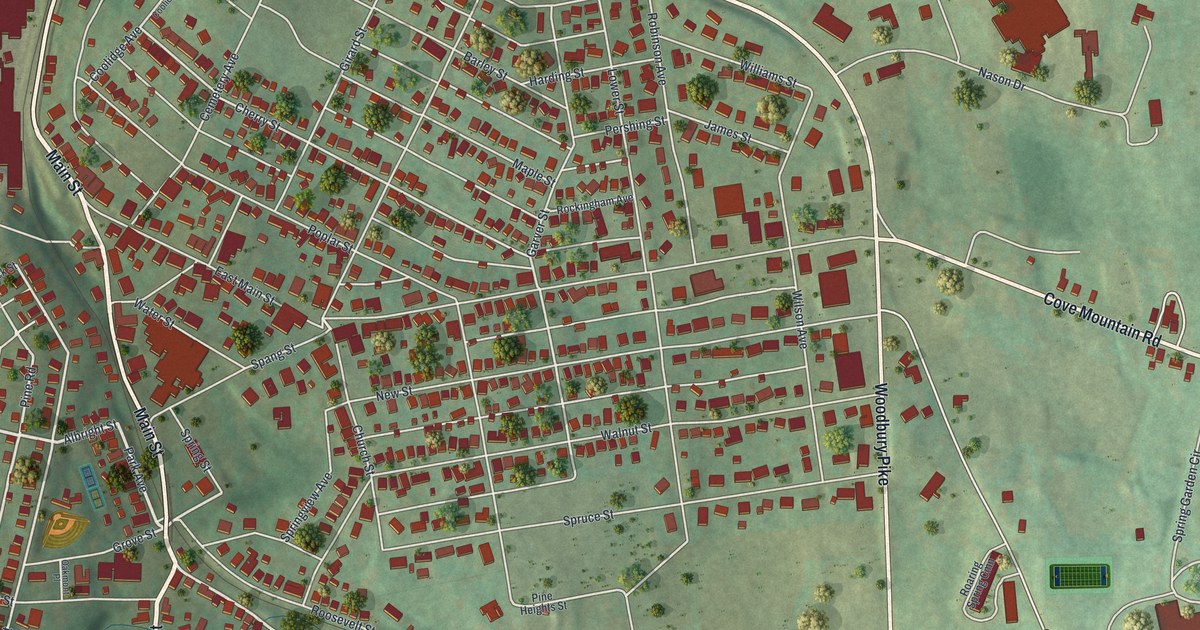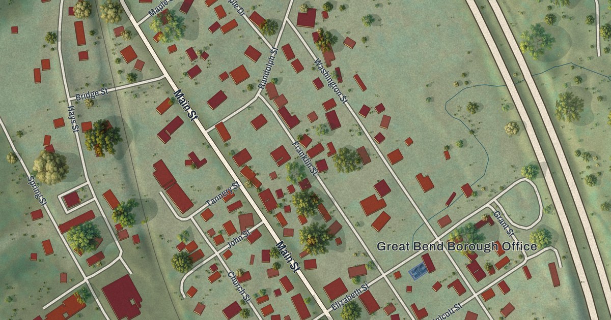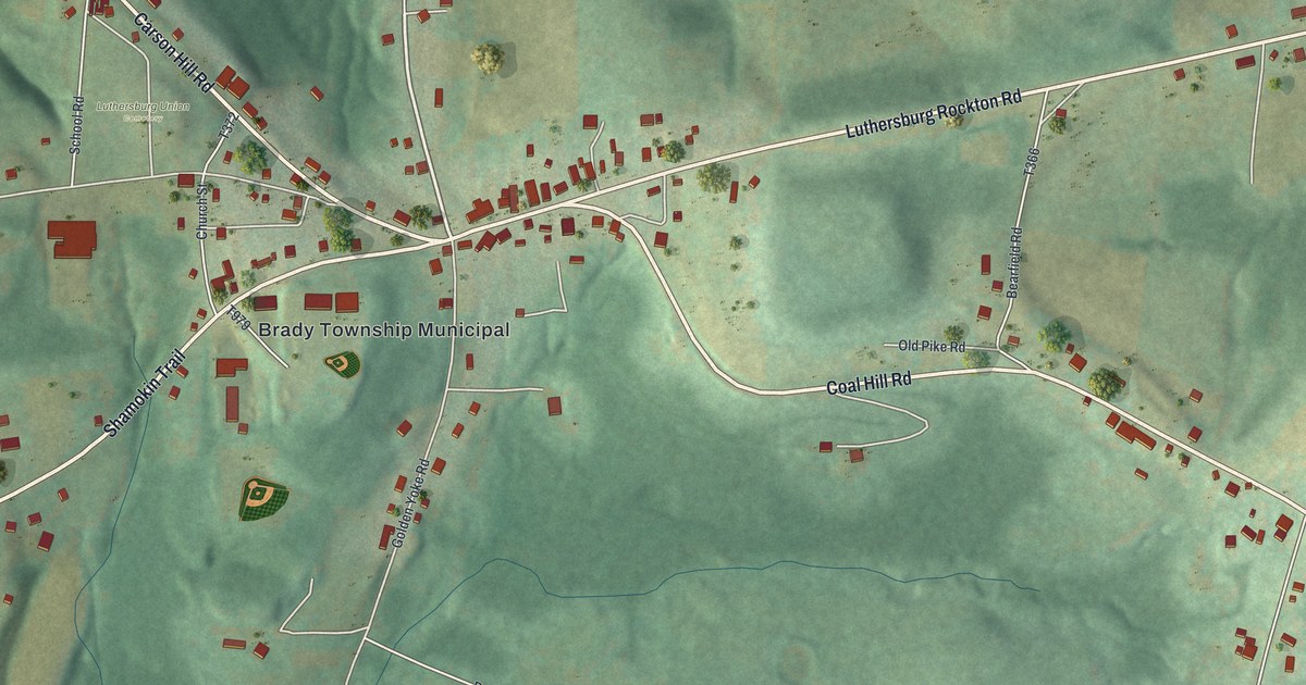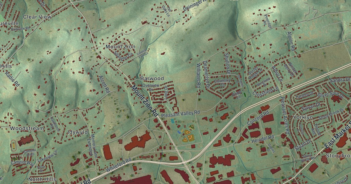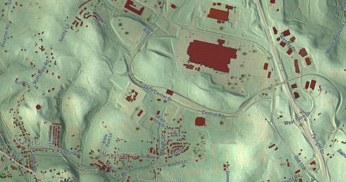
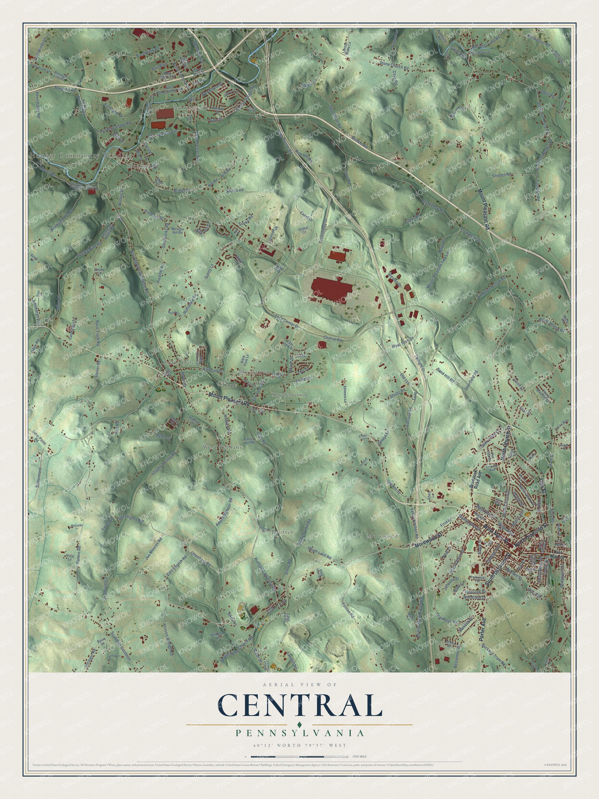
This beautifully detailed map of Central, Pennsylvania was created in 2026 using aerial imagery combined with modern topographical, census, street and landmark data. It’s a one-of-a-kind view of Central that combines accurate data with a vintage aesthetic. The map shows every building in its true location, many of the roads carry their names, and the shaded topographic relief shows the shape of the land.
Explore an aerial view of Central, Pennsylvania
On the map you’ll find Hunker Community Building, West Bethany, Morewood, Snydertown, Paintersville, Ruffs Dale, Lauffer, Tarrs, Rocktown, and Hunker, along with Mount Pleasant Road, North Diamond Street, and more. If you look closely you can even find your house accurately drawn in its correct location. Zoom in on the preview to look for yours.
Did You Know?
From Internet Archive: "In the first ten months of 1926, New York Central tracks were laid to 35 industries newly established in the city."
Central is a community in Westmoreland County.
Take a closer look at the Central map
Names on this map
These names are printed on this map.
Places: Hunker Community Building, West Bethany, Morewood, Snydertown, Paintersville, Ruffs Dale, Lauffer, Tarrs, Rocktown, Hunker and Frick Park.
Streets and roads: Mount Pleasant Road, North Diamond Street, South Diamond Street, West Main Street, Porter Avenue, Low Street, Morewood Street, North Church Street, Ruffsdale Alverton Road, Love Road, Ottenberg Road, Stone Road.
More street names, A to Z
Adams Bowser Road, Alberts Road, Albrights Lake Road, Alfery Lane, Armbrust Brinkerton Road, Armbrust Hecla Road, Armbrust Road, Armburst Heckla Road, Bair Boulevard, Bessemer Road, Bible Park Lane, Borough Line Road, Braddock Road Avenue, Brickyard Hill Road, Bridgeport Street, Bridge Street, Brinker Road, Brinkerton Road, Broadview Road, Brook Hollow Road, Bryer Lane, Buckeye Tram Road, Buick Lane, Buttermore, Byers Lane, Candlelight Drive, Cannonball Court, Capri Lane, Center Avenue, Central Road, Charley Brothers Road, Cherry Blossom Drive, Cherry Street, Clay Avenue, Cody Road, College Avenue, Cool Winds Lane, Coppula Drive, Cottonwood Lane, Cressman Lane, Deer Creek Drive, Deerfield Road, Delmont Fuel Road, Depot Street, Eagle Street, Earnhardt Drive, East Main Street, East View Drive, East Vine Street, Edgewood Drive, Emory Hill Road, Ethels Lane, Excel Drive, Faust Hill, Fenton Road, Fern, Field Stone Lane, Fire Dept Road, First Street, Fisher Road, Front Street, Fry Hollow Drive, Fry Hollow Road, Gasland Road, Global Circle, Gold Leaf Lane, Grandmas Road, Hecla Road, Heidi Lane, High Street, Hill Road, Hills Road, Hixson-Kintigh Road, Hockey Road, Holly Road, Hotel Street, Huffman Road, Hunker-Waltz Mill Road, Hunker Lumber Road, Hunker Waltz Mill Road, Hyde Lane, Hyskell Farm Lane, James Street, Jason Court, Jeffrey Drive, Joe Moores Road, Johanna Street, John Leighty Road, Joseph Street, Junior High Alley, Keefe Lane, Kilarney Drive, King Thorne Road, Kolar Lane, Kring Farm Lane, Landfill Road, Land Fill Road, Lannon Stone Lane, Leighty Hollow Road, Leonard Lane, Levine Lane, Ligonier Drive, Lincoln Avenue, Locust, Lucas Way, Lynch Lane, Main Street, Maple Street, Marginal Road, Maruca Lane, Mays Lane, McQuaide Lane, Melissa Drive, Melrose Drive, Mill Street, Mine Road, Mount Nebo Church Road, Mount Pleasant Twp Line, Mulberry Hill Road, Mullin Avenue, Mustang Lane, Neal Lane, New Stanton Ruffsdale Road, North Center Avenue, North Geary Street, North Main Street, North Shupe Street, Null Road, Nursery Lane, Oak Street, Oden Road, Old 119, Old Route 31, Olive Street, Park Avenue, Parkview Terrace, Penn Valley Road, Pine Drive, Pine Hill Road, Pin Oak Drive, Pittsburgh Pike, Plastic Factory Road, Post, Post Avenue, Potoka Mine Road, Preacher Road, Preacher Street, Quarry Street Extended, Race Track Road, Railroad Street, Rankin Road, Reed Circle, Ridgeview Road, Rocktown Road, Royal State Street, Rudy Lane, Ruffsdale Road, Ruth Drive, Sabota Road, Sand Hill Road, Sandworks Road, Scottdale Smithton, Shady Street, Shaye Court, Shipe Alley, Shipley Lane, Shultz Road, Sikora Lane, Simpson Hollow Road, Slate Circle, Slope Hill Road, Smith's Hill Road, Snydertown Road, Sobota Road, Sopko Road, South Center Avenue, South Main Street, South Quarry Street, South Shupe Street, South Silver Street, Sportsman Road, Springer Hill Road, Springer Road, Spruce Street, State Street, Steeles Road, Stillman Lane, Stock Lane, Stone Church Road, Stoner Road, Sunny Lane, Suter-Poole Road, Swartz Road, Sweitzer Road, Tarrs Street, Tech Center Drive, Technology Drive, Tee Drive, Thermo Village Road, Thompson Hollow Road, Timber Ridge Court, Track Lane, Trout Road, Tukosh Street, Turnpike Road, Turtle Way, Twilight Drive, Udell Road, Valley Kitchen Road, Walnut Avenue, Walnut Street, Warden Street, Washington Street, Water Street, Weinman Road, Weltz Avenue, Wentsler Avenue, West Byers Avenue, Westec Drive, West Pennsylvania Avenue, West Tech Drive, West Vine Street, Woodmere Drive, Wyndfield Drive, Zelmore Lane, Zemba Lane, Zion Church Road.
See it on a wall
The Central map as a framed print. Swipe for more.


This beautifully detailed map of Central makes an attractive addition to your office, library, or den, and it can even be used to teach children the geography and history of the area. It also makes a great gift for anyone with Central roots. When you’re done exploring, click here to get your copy of the Central map.