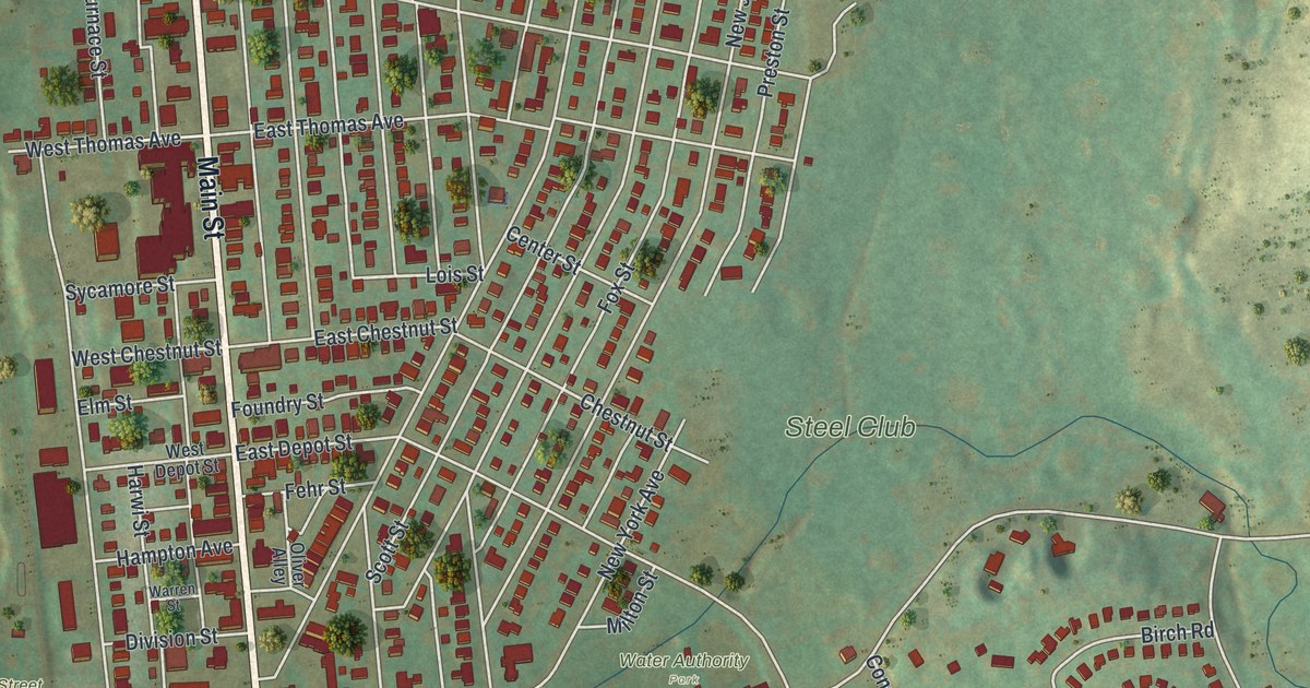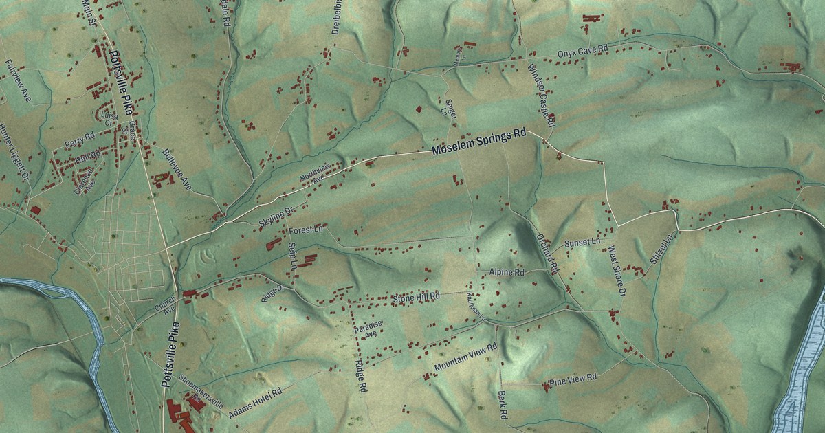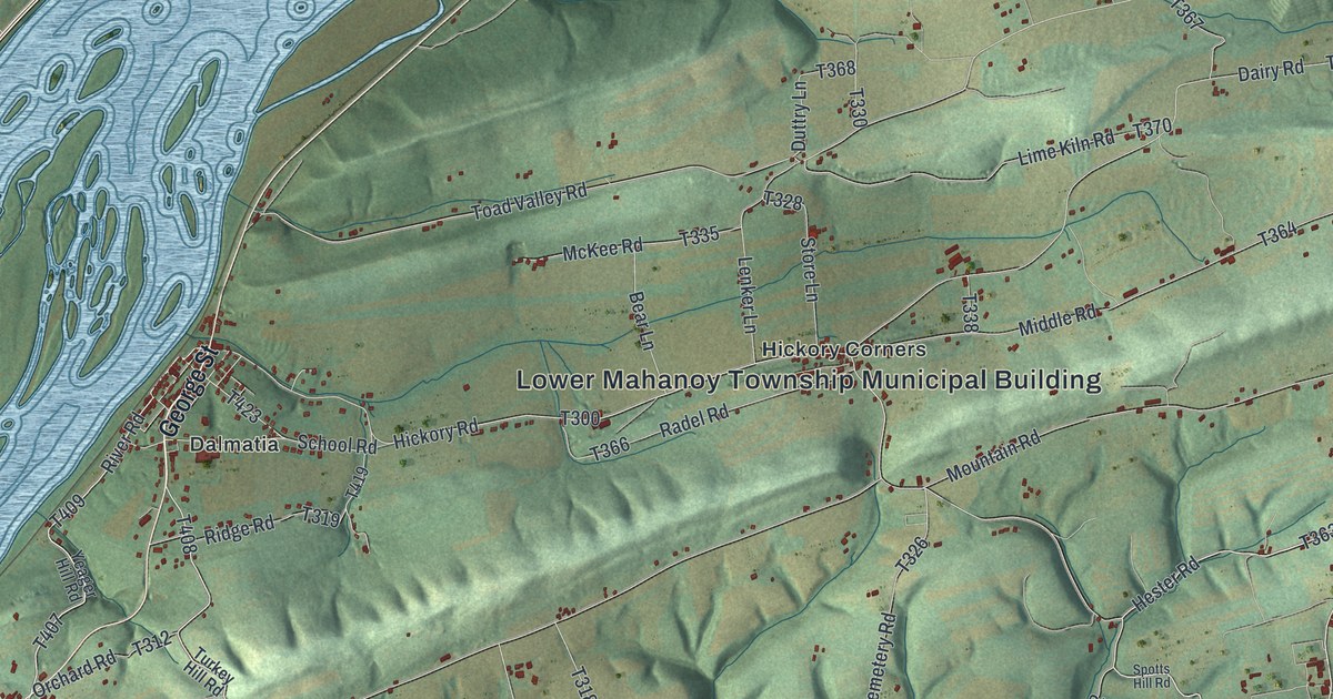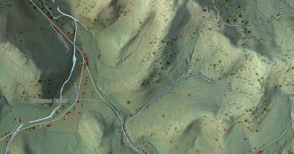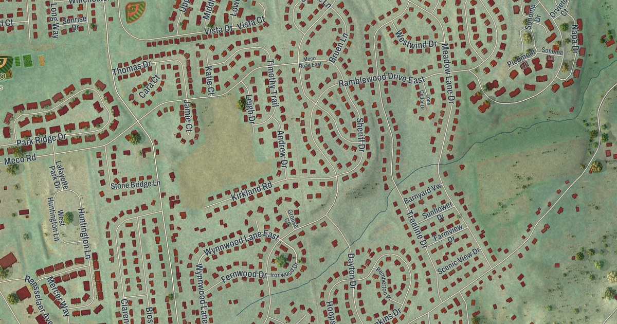
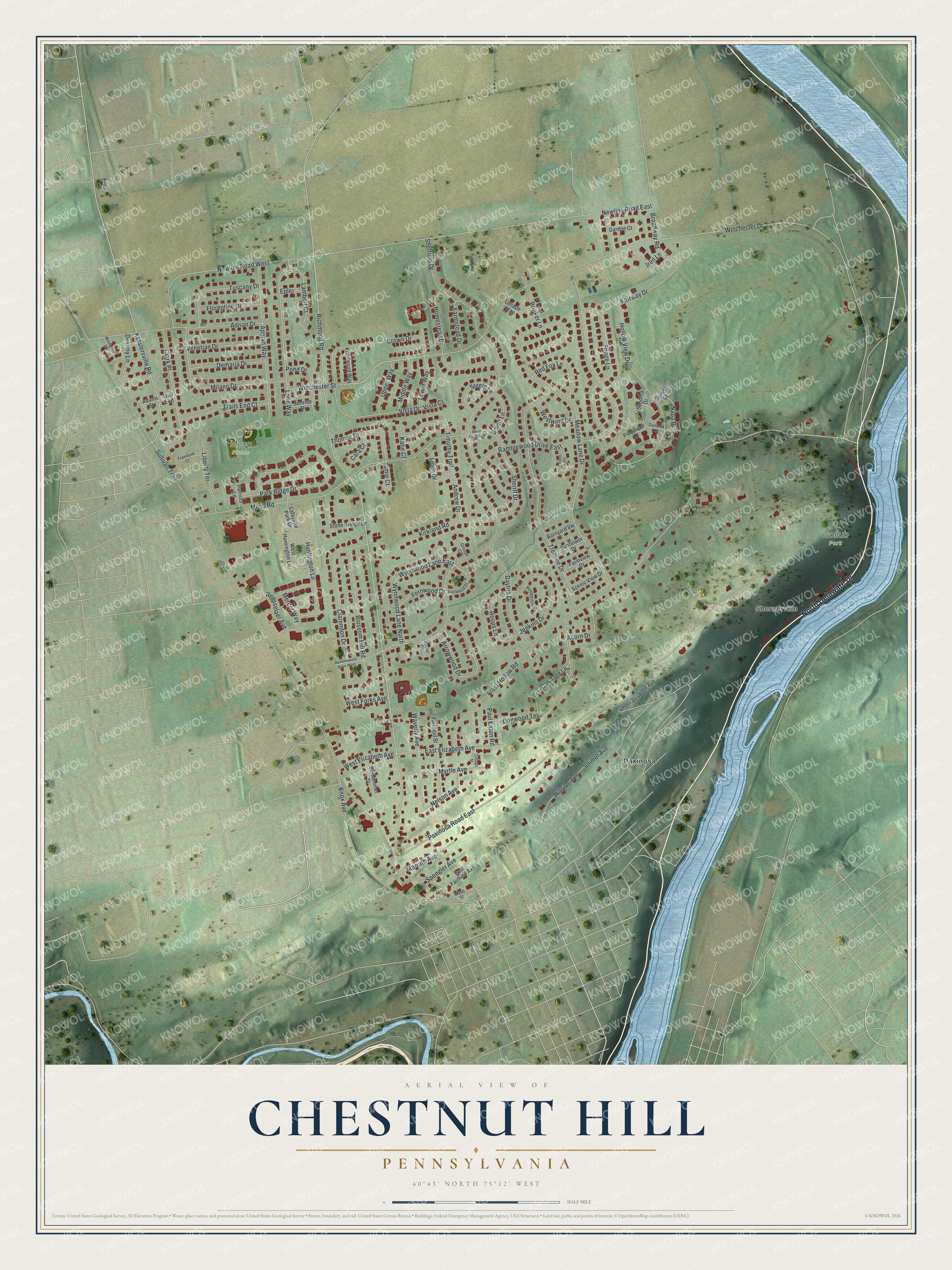
This beautifully detailed map of Chestnut Hill, Pennsylvania was created in 2026 using aerial imagery combined with modern topographical, census, street and landmark data. It's a modern aerial view of Chestnut Hill in Northampton County, Pennsylvania, that combines modern data with a vintage aesthetic. The roads feature printed names, and if you look closely you can find your exact house accurately shown in its correct location.
Explore an aerial view of Chestnut Hill, Pennsylvania
On this map you'll find Shernerville, Gollub Park, Meco Fields, Paxinosa, North Delaware Drive, Wynnwood Lane North, Wynnwood Lane East, Nelson Avenue, Winchester Drive, Sullivan Trail, Richmond Road, Frost Hollow Road, and more. Each red shape is a building, so zoom in on the preview and look for yours.
Chestnut Hill is a community in Northampton County. The Census Bureau counted 6,689 people here in 2020. Chestnut Hill sits about 3 miles north of Easton, 3 miles southeast of Tatamy and 3 miles northeast of Wilson. The map prints the town name in its title panel, with the coordinates below it.
Take a closer look at the Chestnut Hill map
Names on this map
These names are printed on this map.
Places: Shernerville, Gollub Park, Meco Fields and Paxinosa.
Streets and roads: North Delaware Drive, Wynnwood Lane North, Wynnwood Lane East, Nelson Avenue, Winchester Drive, Sullivan Trail, Ramblewood Drive East, Richmond Road, Frost Hollow Road, Paxinosa Road East, Meadow Lane Drive, Newlins Road East.
More street names, A to Z
Acorn Drive, Adams Street, Adrian Drive, Andrew Drive, Appian Way, Arrowwood Drive, Barnyard Vw, Blossom Hill Road, Brinker Lane, Broadway Road, Bruen Lane, Cara Court, Clarendon Drive, Clark Place, Cottage Street, Crown Drive, Dayton Drive, Demaria Drive, Derhammer Street, Destiny Lane, Dogwood Terrace, East Elizabeth Avenue, East Fairfield Avenue, Epler, Fairway Drive, Farmstead Drive, Farmview Drive, Farragut Street, Fernwood Drive, Florentine Drive, Freedom Court, Fringe Lane, Garden Court, Grouse Court, Hillside Avenue, Hollow View Drive, Homestead Drive, Hoops Lane, Huntington Lane, Iron Lane, Ironwood Drive, Jamie Court, Jenkins Drive, Katie Court, Kesslersville Road, Kirkland Road, Knollwood Way, Knox Avenue, Lafayette Park Drive, Lambert Court, Leigh Drive, Lenape Way, Liberty Terrace, Lone Cedar Drive, Long Way, Lower Way, Marruth Avenue, Meco Road, Meco Road East, Mercer Way, Middle Way, Milano Drive, Myrtle Avenue, Napa Drive, Newlins Road West, Oak Tree Lane, Orvieto Court, Park Ridge Drive, Patriots Lane, Paul Eaton Road, Pemberton Place, Piedmont Lane, Pond Drive, Ramblewood Drive West, Raub Street, Red Fox Lane, Rensselaer Avenue, Scenic View Drive, Sheffield Drive, Sheriff Drive, Shimer Avenue, Sonoma Drive, Sonoma Lane, Spengler Avenue, Steele Lane, Stone Bridge Lane, Sunflower Drive, Sunrise Drive, Susan Circle, Thomas Drive, Timothy Trail, Trail End, Trails End Court, Treeline Drive, Tuscany Drive, Upper Shawnee Avenue, Upper Way, Venetian Drive, Vista Court, Vista Drive, Waverly Avenue, West Elizabeth Avenue, West Forks Avenue, Westgate Drive, West Huntington Lane, Westwind Drive, Winchester Street.
See it on a wall
The Chestnut Hill map as a framed print. Swipe for more.


Created by KNOWOL in 2026. The buildings are small red shapes, the roads carry their printed names, and shaded relief shows the shape of the land. The title panel reads "AERIAL VIEW OF CHESTNUT HILL, PENNSYLVANIA" with 40°43' NORTH 75°12' WEST.
Hang it in the hallway, the office or the cabin, or give it to someone who left Chestnut Hill and still calls it home. Open the preview and look for a street you know. See sizes and frames for the Chestnut Hill map.