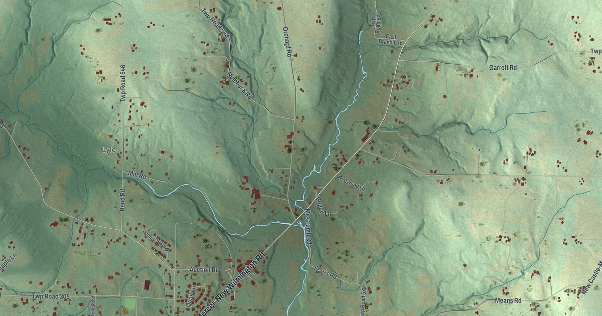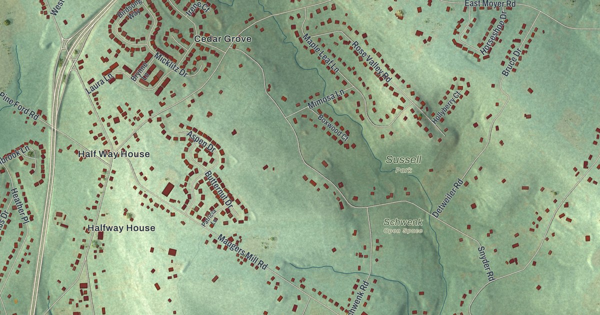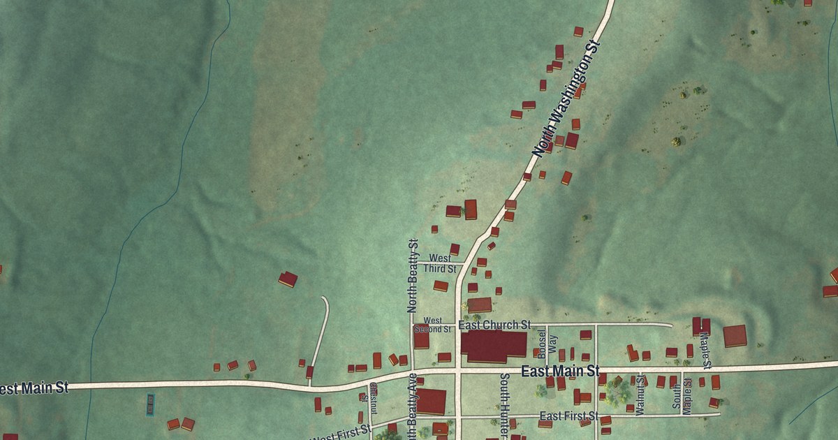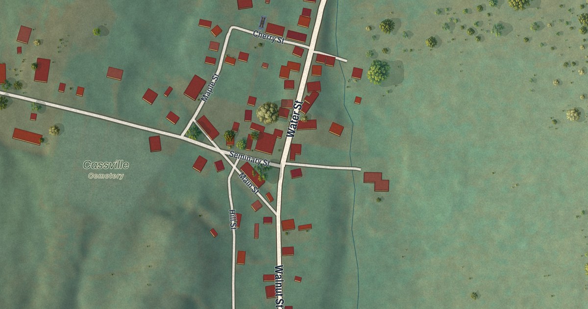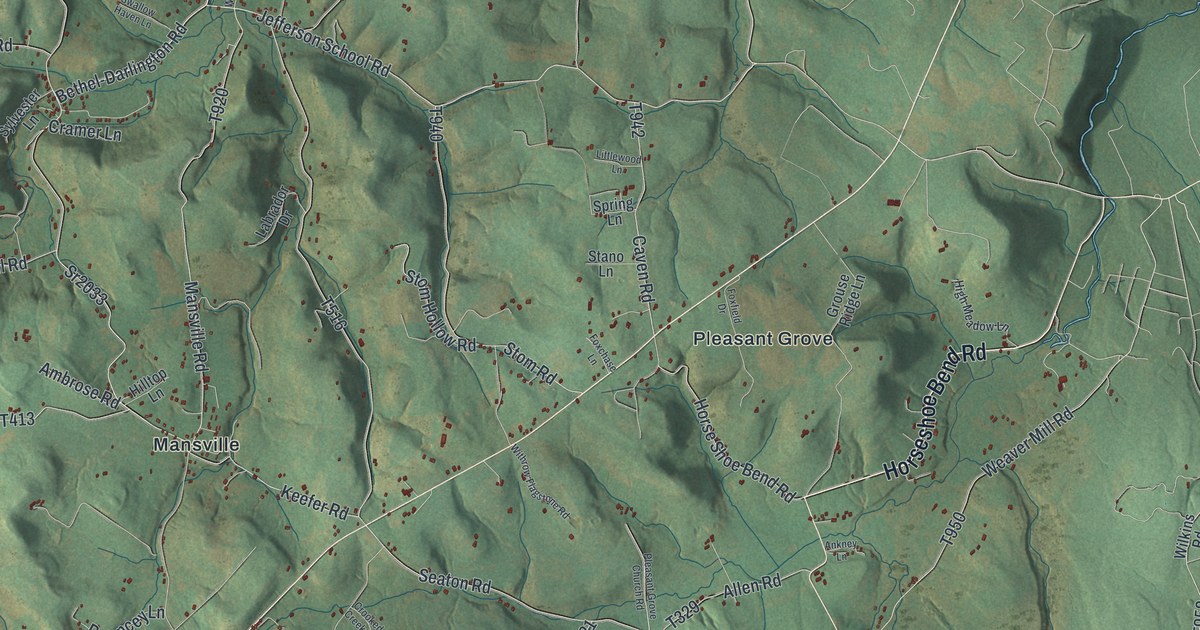
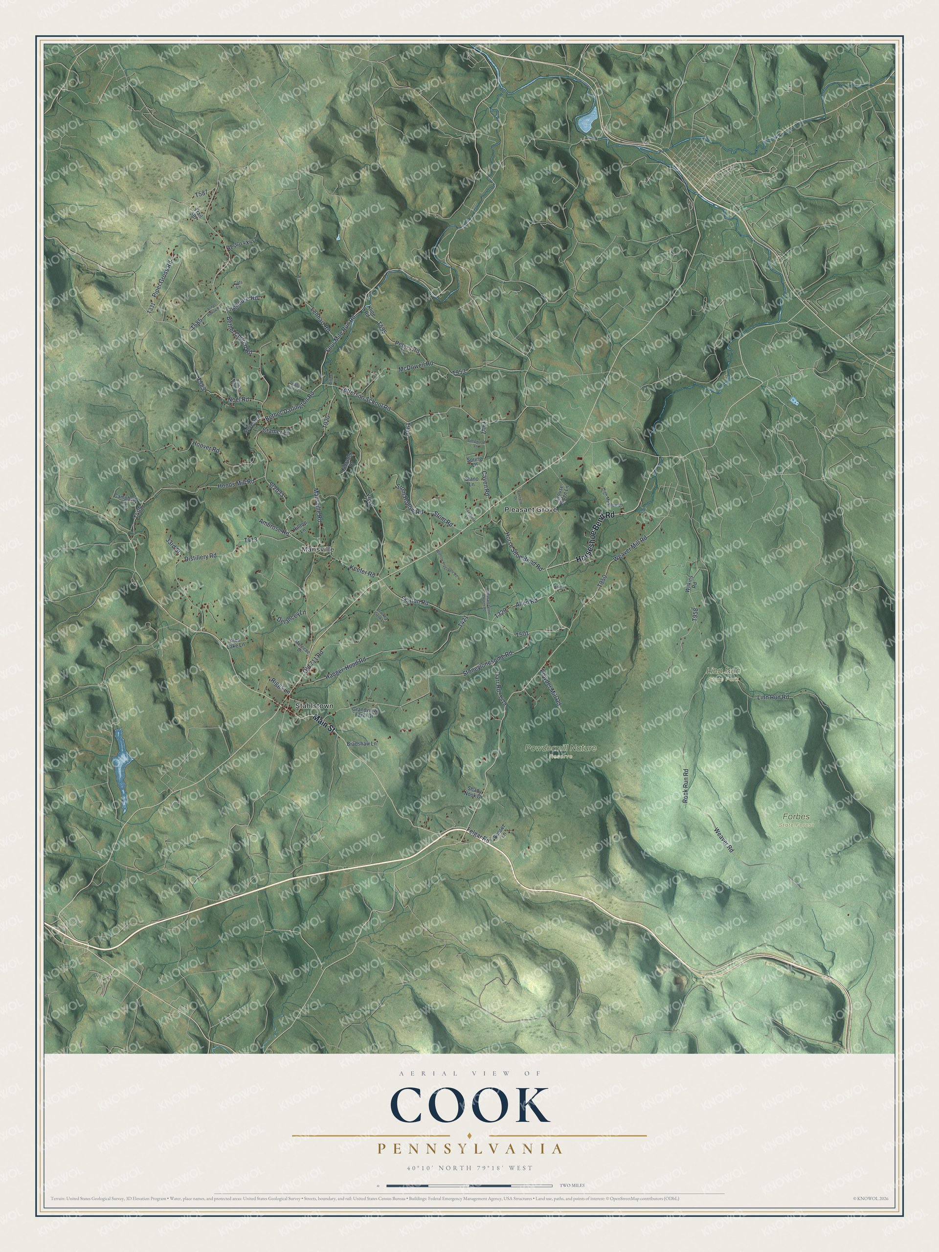
This beautifully detailed map of Cook, Pennsylvania was created in 2026 using aerial imagery combined with modern topographical, census, street and landmark data. It's a modern aerial view of Cook in Westmoreland County, Pennsylvania, that combines modern data with a vintage aesthetic. The roads feature printed names, and if you look closely you can find your exact house accurately shown in its correct location.
Explore an aerial view of Cook, Pennsylvania
On this map you'll find Forbes State Forest, Linn Run State Park, Powdermill Nature Reserve, Mansville, Pleasant Grove, Stahlstown, Horseshoe Bend Road, Main Street, Jefferson School Road, Four Mile Run Road, Bethel-Darlington Road, T920, and more. Each red shape is a building, so zoom in on the preview and look for yours.
Every town has a first chapter, and Cook is no exception. The Internet Archive puts it this way: "Among the first justices of the peace of the township after its erection was Seymour Campbell, a very prominent local man, and a great adviser and peacemaker among his neighbors."
Cook is a place in Westmoreland County. The Census Bureau counted 1,896 people here in 2020.
Take a closer look at the Cook map
Names on this map
These names are printed on this map.
Places: Forbes State Forest, Linn Run State Park, Powdermill Nature Reserve, Mansville, Pleasant Grove and Stahlstown.
Streets and roads: Horseshoe Bend Road, Main Street, Jefferson School Road, Four Mile Run Road, Bethel-Darlington Road, Weaver Road, Lenhart Road, Bethel Church Road, Linn Run Road, Stoneylonesome Road, Hoover Road, Distillery Road.
More street names, A to Z
33rd Street, Aleo Lake Lane, Allen Road, Ambrose Road, Ankney Lane, Armel Hollow Road, Bradshaw Lane, Campbell Lane, Cats Lane, Caven Road, Cramer Lane, Crooked Creek Lane, Darr Road, Delancey Lane, Felgar Road, Firehouse Road, Foxchase Lane, Foxfield Drive, Grandview Farm Drive, Grouse Ridge Lane, Hauger-Hood Road, High Meadow Lane, Hilltop Lane, Hoods Mill Road, Horse Shoe Bend Road, Keefer Road, Kline Road, Knuckle Acres Lane, Labrador Drive, Littlewood Lane, Mansville Road, McDowell Road, Monticue Drive, Noel Road, Old 711 Road, Peters Road, Piper Gross Road, Pleasant Grove Church Road, Powder Mill Road, Riggs Lane, Rock Run Road, Seaton Road, Shady Nook Drive, Spring Lane, Sr2033, Stano Lane, Stom Hollow Road, Stom Road, Sunset Lane, Swallow Haven Lane, Sylvester Lane, Trail 587, Weaver Mill Road, Wilkins Road, Willow Lane, Withrow Flagstone Road.
Created by KNOWOL in 2026. The buildings are small red shapes, the roads carry their printed names, and shaded relief shows the shape of the land. The title panel reads "AERIAL VIEW OF COOK PENNSYLVANIA" with 4, 0, °, 1, 0, ', , N, O, R, T, H, , 7, 9, °, 1, 8, ', , W, E, S, T.
Hang it in the hallway, the office or the cabin, or give it to someone who left Cook and still calls it home. Open the preview and look for a street you know. See sizes and frames for the Cook map.