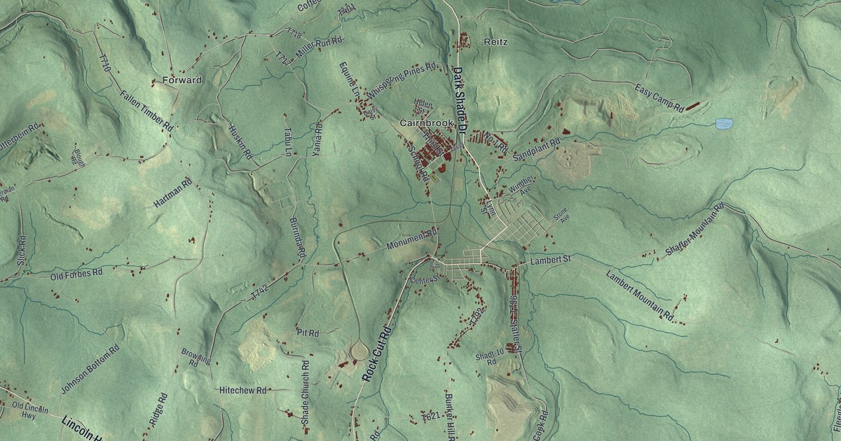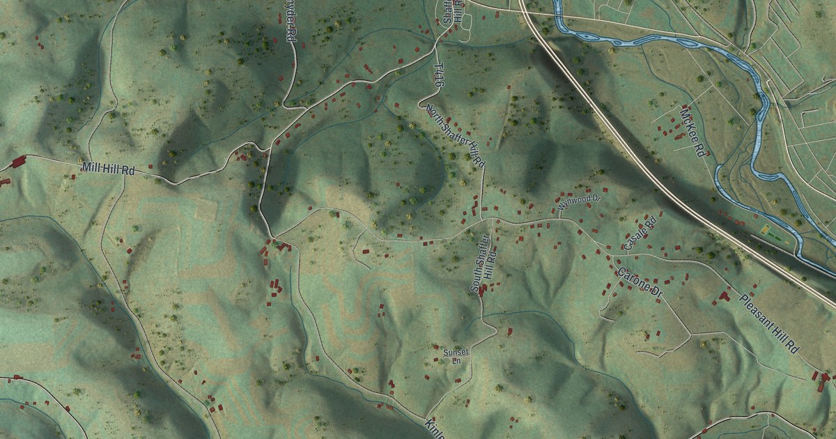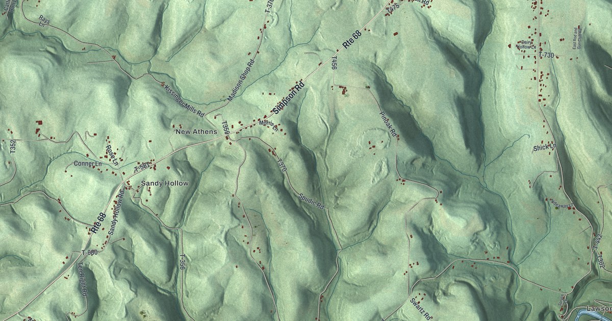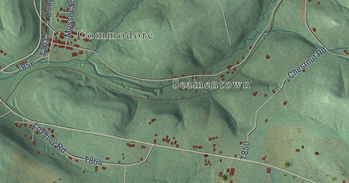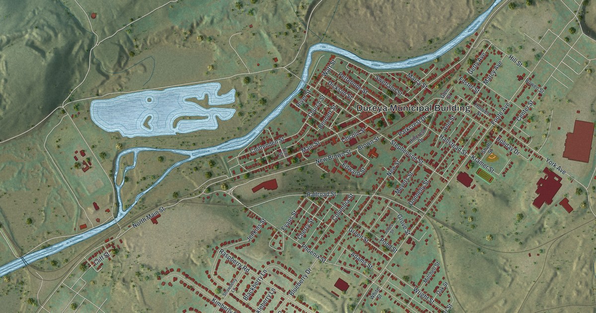
This beautifully detailed map of Duryea, Pennsylvania was created in 2026 using aerial imagery combined with modern topographical, census, street and landmark data. It’s a one-of-a-kind view of Duryea that combines accurate data with a vintage aesthetic. The map shows every building in its true location, many of the roads carry their names, and the shaded topographic relief shows the shape of the land.
Explore an aerial view of Duryea, Pennsylvania
On the map you’ll find Dureya Municipal Building and Browns, along with Main Street, Coxton Road, Foote Avenue, New Brown Street, Clarks Road, York Avenue, Phoenix Street, Stephenson Street, Railroad Street, Blueberry Drive, and more. If you look closely you can even find your house accurately drawn in its correct location. Zoom in on the preview to look for yours.
Did you know this piece of Duryea, Pennsylvania history?
From the Borough of Duryea: "Duryea Borough was named in honor of Hiram Duryea, a Civil War general and owner of extensive tracts of land in sections of the country."
Take a closer look at the Duryea map
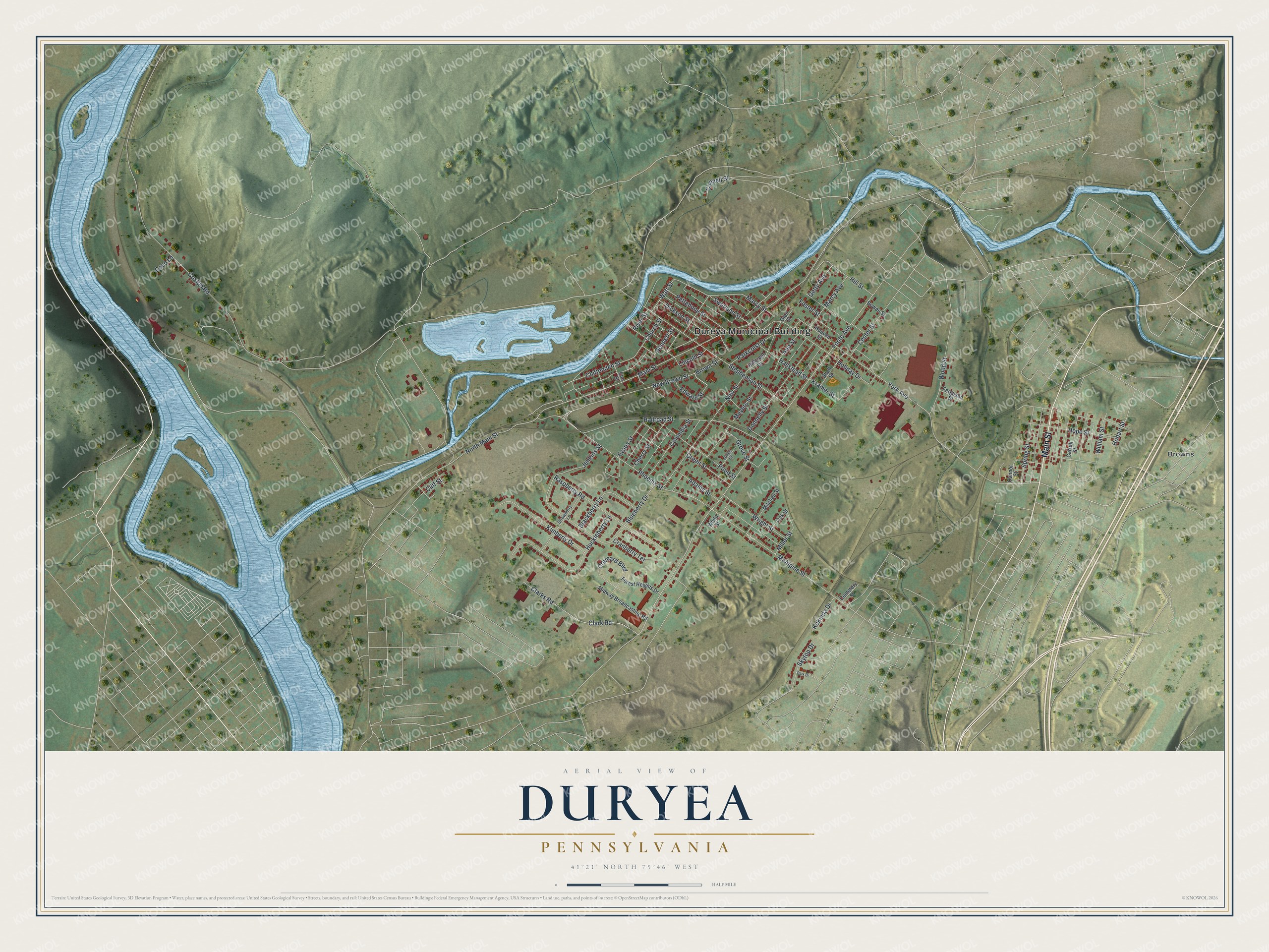
Street and place names on the Duryea, Pennsylvania map
These names are printed on the map of Duryea, Pennsylvania.
Places: Dureya Municipal Building and Browns.
Streets and roads: Main Street, Coxton Road, Foote Avenue, New Brown Street, Clarks Road, York Avenue, Phoenix Street, Stephenson Street, Railroad Street, Blueberry Drive, McAlpine Street, Marcy Street.
More street names, A to Z
Adams Street, Ann Street, Bennett Street, Blackberry Lane, Bowen Street, Brown Street, Carroll Street, Cemetery Street, Center Street, Cherry Street, Chittenden Street, Church Street, Clark Road, Cliff Street, Coco Lane, Columbia Street, Connell Street, Connor Street, Cranberry Terrace, Cremard Boulevard, Dickson Street, Donnelly Street, Edward Street, Elm Street, Evans Street, Ferguson Street, Forest Heights Drive, Foster Street, Getty Avenue, Glen Street, Green Street, Grove Street, Hallstead Street, Hillcrest Drive, Hill Street, Hobart Street, Holiday Drive, Hooven Street, Hope Street, Huckleberry Lane, Jenkins Street, Jones Street, Kimberly Drive, Kokinda Drive, Kramer Street, Lincoln Street, Marcy Avenue, Meyers Street, Midway Broadcasting Road, Miller Street, Mitchell Street, New Street, North Main Street, Oak Street, Parkcrest Drive, Park Drive, Pettebone Street, Pond Street, Raspberry Road, River Street, Shaft Street, Skytop Drive, Spring Street, Strawberry Lane, Swetland Street, Watt Street, White Street, William Street, Wood Street, Wright Street.
See the Duryea, Pennsylvania map on a wall
The Duryea map as an 18 x 24 inch print in a black frame.

This beautifully detailed map of Duryea makes an attractive addition to your office, library, or den, and it can even be used to teach children the geography and history of the area. It also makes a great gift for anyone with Duryea roots. When you’re done exploring, click here to get your copy of the Duryea map.