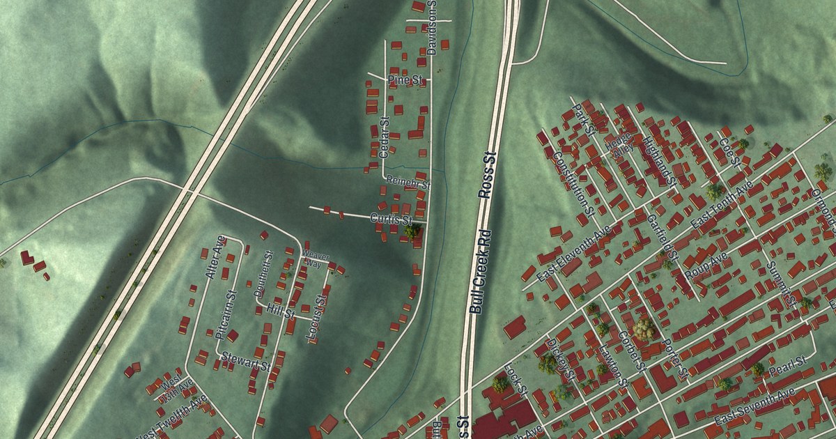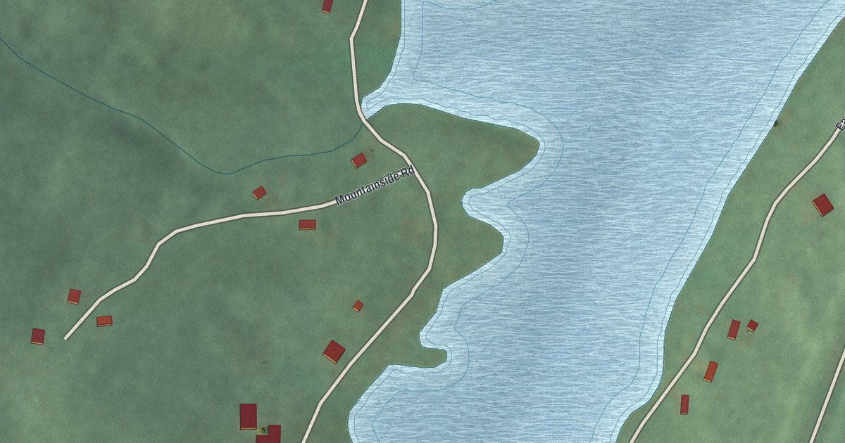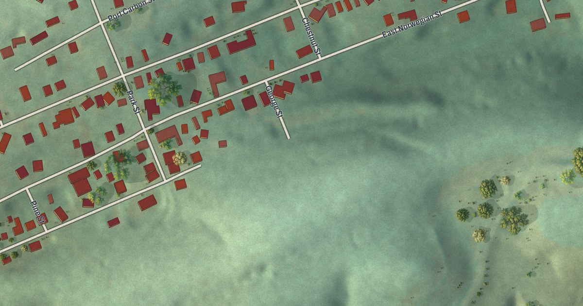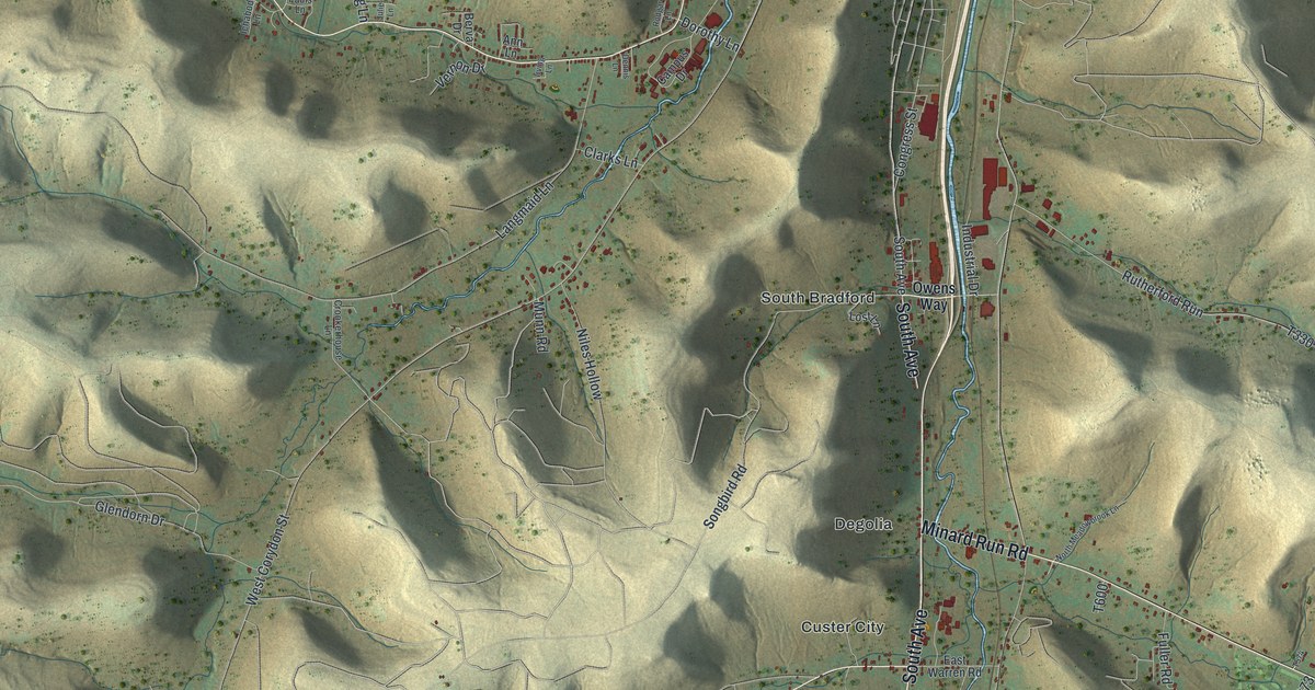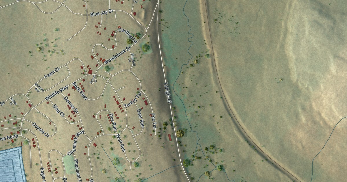
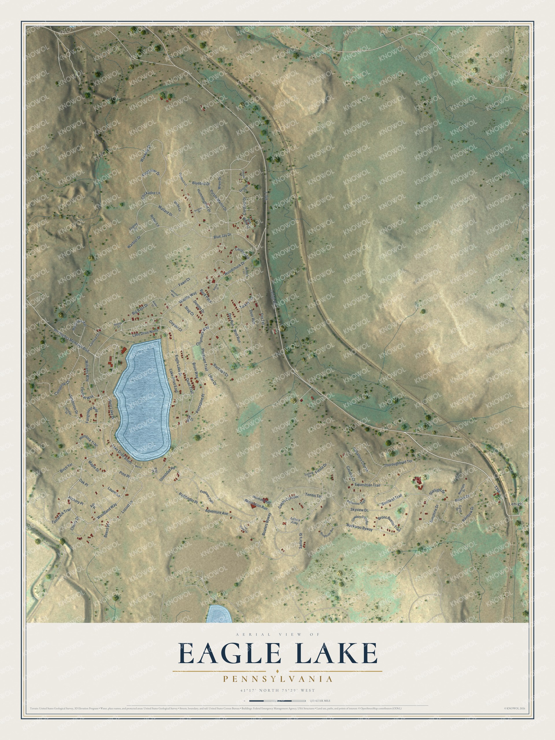
This beautifully detailed map of Eagle Lake, Pennsylvania was created in 2026 using aerial imagery combined with modern topographical, census, street and landmark data. It's a modern aerial view of Eagle Lake in Lackawanna County, Pennsylvania, that combines modern data with a vintage aesthetic. The roads feature printed names, and if you look closely you can find your exact house accurately shown in its correct location.
Explore an aerial view of Eagle Lake, Pennsylvania
On this map you'll find Lehigh, Woodland Way, Big Bass Drive, Lehigh Road, T346, Wildlife Way, Cardinal Drive, Williams Way, Blue Jay Drive, Locust Lane, Porcupine Place, Quail Trail, and more. Each red shape is a building, so zoom in on the preview and look for yours.
Eagle Lake is a community in Lackawanna County. The Census Bureau counted 12 people here in 2020. Eagle Lake sits about 2 miles north of Big Bass Lake, 3 miles northwest of Gouldsboro and 4 miles west of Pocono Springs. The map prints the town name in its title panel, with the coordinates below it.
Take a closer look at the Eagle Lake map
Names on this map
These names are printed on this map.
Places: Lehigh.
Streets and roads: Woodland Way, Big Bass Drive, Lake Drive South, Lehigh Road, Wildlife Way, Cardinal Drive, Williams Way, Blue Jay Drive, Locust Lane, Porcupine Place, Quail Trail, Shetland Trail.
More street names, A to Z
Adventure Avenue, Am Hughes Memorial Boulevard, Antlers Alley, Ash Place, Beaver Court, Beech Place, Birch Terrace, Bluebird Drive, Bluebird Lane, Boaters Byway, Bobcat Court, Bob White Lane, Bronc Buster Trail, Bruin Way, Buckaroo Byway, Buck Pass, Caballero Course, Camporee Court, Canoe Corridor, Cardinal Lane, Carnival Court, Cavalry Court, Cherry Drive, Chickadee Lane, Chipmunk Way, Cowboy Corridor, Coyote Court, Deer Run, Dennis Drive, Doe Run, Eagle Lake Drive, Earth Drive, Equestrian Trail, Explorer Path, Fairground Way, Fawn Court, Festival Way, Fiesta Drive, Fox Terrace, Goldfinch Lane, Grebe Lane, Grouse Lane, Hemlock Trail, Hickory Place, Holiday Drive, Hummingbird Drive, Jamboree Drive, Kingbird Place, Kingfisher Drive, Lake Drive East, Lake Drive North, Laurel Lane, Mallard Drive, Maple Drive, Mardi Gras Mall, Marina, Mermaid Mall, Mink Court, Moonlight Drive, Nature Drive, Oak Place, Olmstead Road, Osprey Lane, Otter Court, Palomino Trail, Pathfinder Place, Pheasant Trail, Pine Place, Pitz Place, Purple Martin Drive, Rabbit Court, Raccoon Court, Rainbow Drive, Recreation Run, Robin Lane, Roughrider Run, Sailor's Street, Skyview Drive, Stag Court, Starlight Drive, Sunshine Drive, T-346, Tamarack Trail, Tennis Terrace, Thoroughbred Terrace, Thrush Lane, Trail Blazer Terrace, Trolling Terrace, Turkey Terrace, Warbler Drive, Waxwing Drive, West Lake Drive, Whitetail Way, Wolf Run, Woodchuck Drive, Wren Drive.
See it on a wall
The Eagle Lake map as a framed print. Swipe for more.


Created by KNOWOL in 2026. The buildings are small red shapes, the roads carry their printed names, and shaded relief shows the shape of the land. The title panel reads "AERIAL VIEW OF EAGLE LAKE, PENNSYLVANIA" with 41°17' NORTH 75°29' WEST.
It suits a den, a classroom or a front hall, and it makes a gift for anyone with Eagle Lake roots. Open the preview and find the block you know. See sizes and frames for the Eagle Lake map.