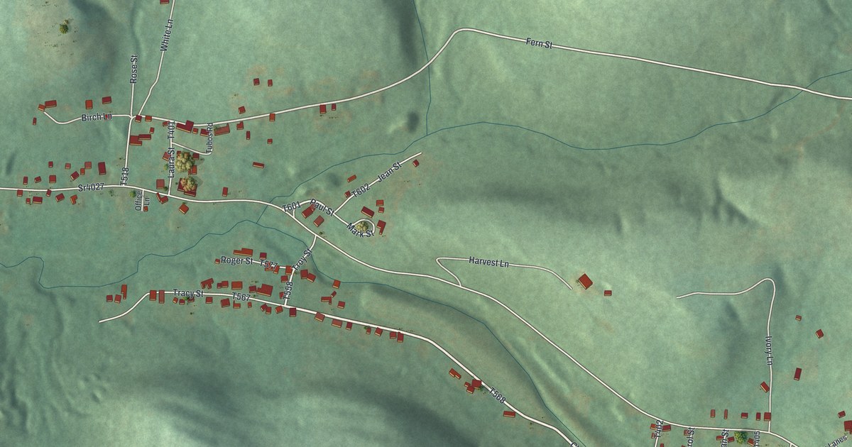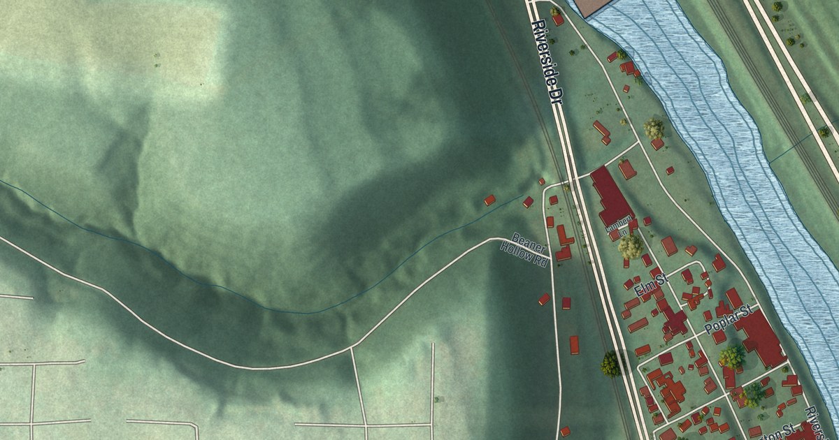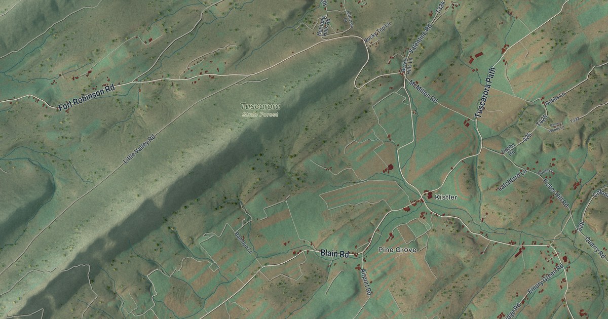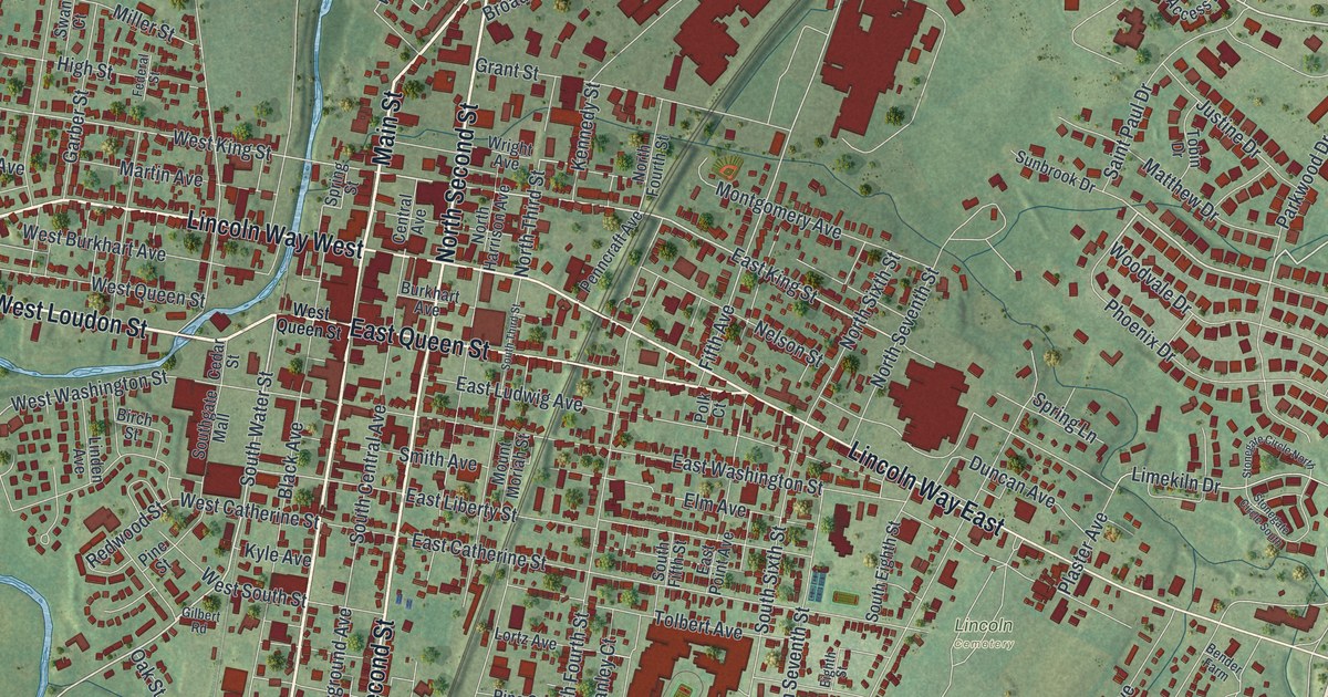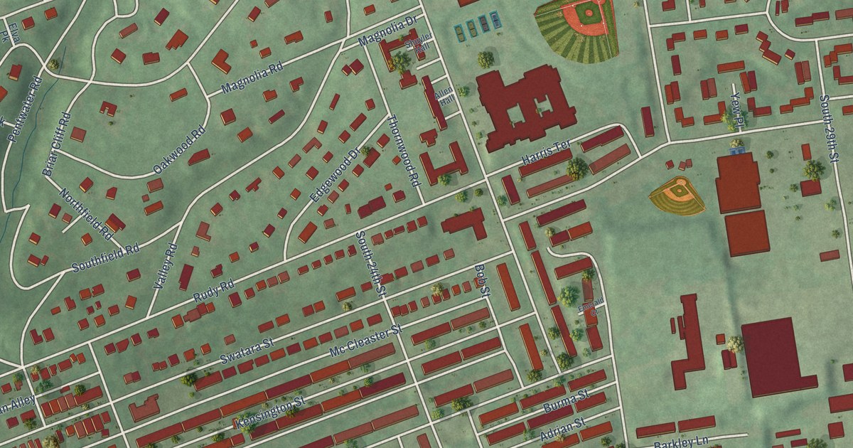
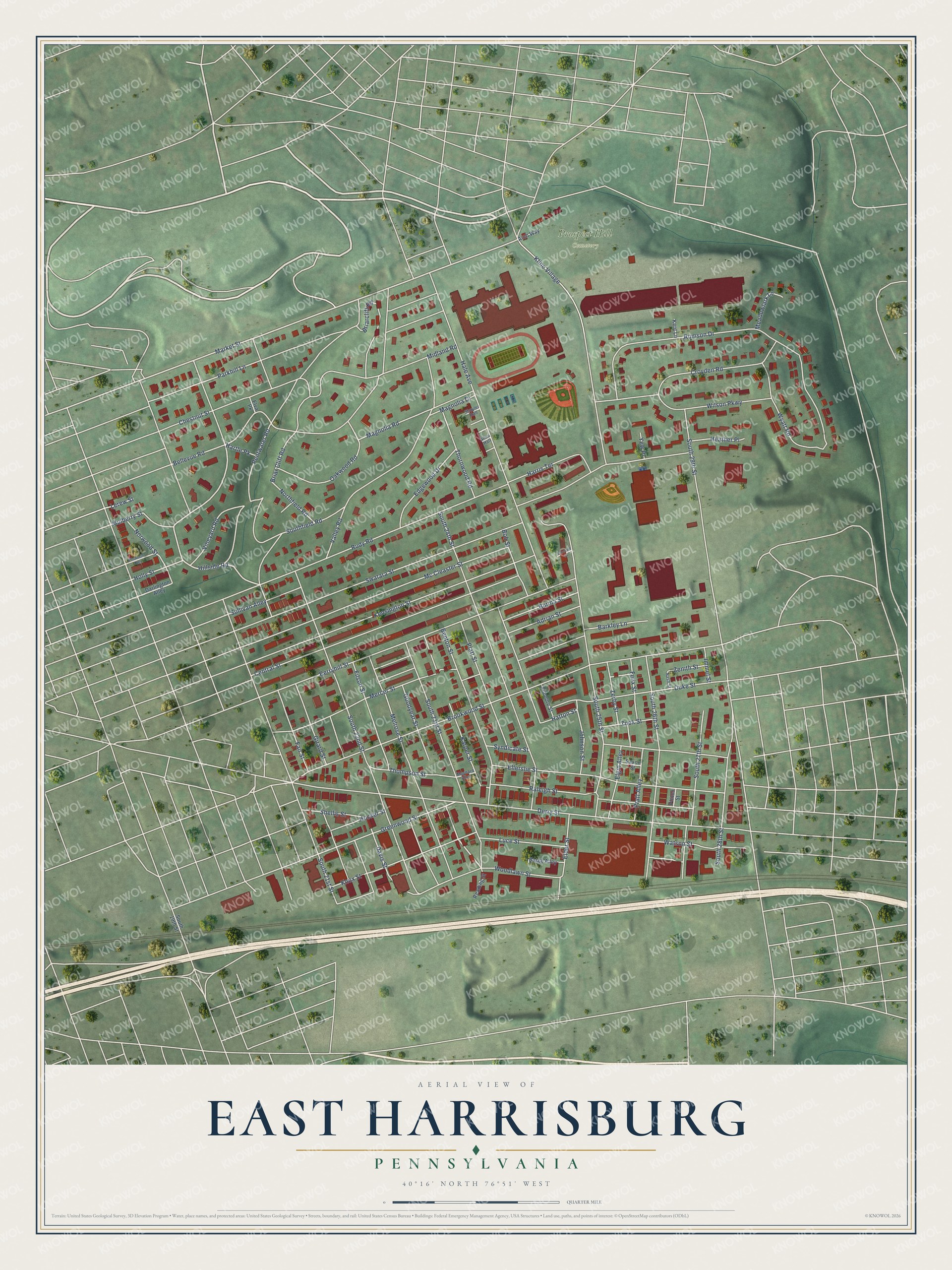
This beautifully detailed map of East Harrisburg, Pennsylvania was created in 2026 using aerial imagery combined with modern topographical, census, street and landmark data. It’s a one-of-a-kind view of East Harrisburg that combines accurate data with a vintage aesthetic. The map shows every building in its true location, many of the roads carry their names, and the shaded topographic relief shows the shape of the land.
Explore an aerial view of East Harrisburg, Pennsylvania
On the map you’ll find Prospect Hill Cemetery, along with Goodyear Street, Derry Street, Market Street, Hillside Road, Davis Street, Woodlawn Street, Midland Road, Vineyard Road, South 25th Street, Rudy Road, Brookwood Street, and more. If you look closely you can even find your house accurately drawn in its correct location. Zoom in on the preview to look for yours.
Did You Know?
From Internet Archive: "Christ church, in turn, has under its care a Mission School at Brookwood, or East End, which it is hoped will, in due time, develop into the Third 'Lutheran church of East Harrisburg."
East Harrisburg is a place in Dauphin County.
Take a closer look at the East Harrisburg map
Names on this map
These names are printed on this map.
Places: Prospect Hill Cemetery.
Streets and roads: Goodyear Street, Derry Street, Market Street, Hillside Road, Davis Street, Woodlawn Street, Midland Road, Vineyard Road, South 25th Street, Rudy Road, Brookwood Street, South 22nd Street.
More street names, A to Z
Adrian Street, Allen Hall, Arch Way, Barge Alley, Barkley Lane, Bellevue Road, Benton Street, Berryhill Street, Bob Street, Briar Cliff Road, Briarcliff Road, Burma Street, Central Street, Chestnut Street, Croyden Road, Darlington Alley, Duke Street, Edgewood Drive, Elder Street, Elgin Alley, Ellerslie Street, Ellsworth Alley, Elva Pk, Emerald Court, Fair Street, Felix Street, Fillmore Street, Filson Street, Girard Street, Greenwood Street, Hale Avenue, Harris Terrace, Hartle Pk, Hatton Street, Heather Place, Hocker Street, Holly Street, Immel Street, Johnson Street, Karper Street, Kensington Street, Kent Lane, Kline Village, Knox Street, Lerew Street, Luce Street, Magnolia Drive, Magnolia Road, Maynard Alley, Mc Cleaster Street, Meadowlark Lane, Melrose Street, Mercer Street, Mulberry Street, Nash Street, Northfield Road, Norwood Street, Oakwood Road, Parkhill Lane, Pentwater Road, Philco Street, Platt Street, Pratt Alley, Raleigh Street, Reading Street, Rumson Drive, Saxon Street, Shellis Street, Shuyler Hall, South 19th Street, South 21st Street, South 23rd Street, South 24th Street, South 26th Street, South 27th Street, South 28th Street, South 29th Street, Southfield Road, Sullivan Alley, Swatara Street, Syndicate Street, Thompson Street, Thornwood Road, Valley Road, Watson Street, Wilson Parkway, Wyatt Road, Yew Place, Zenith Street, Zerby Street, Zook Street.
See it on a wall
The East Harrisburg map as a framed print. Swipe for more.


This beautifully detailed map of East Harrisburg makes an attractive addition to your office, library, or den, and it can even be used to teach children the geography and history of the area. It also makes a great gift for anyone who grew up in East Harrisburg or moved away. When you’re done exploring, click here to get your copy of the East Harrisburg map.