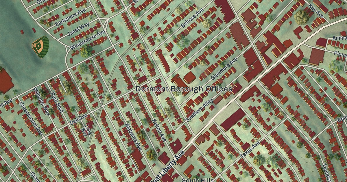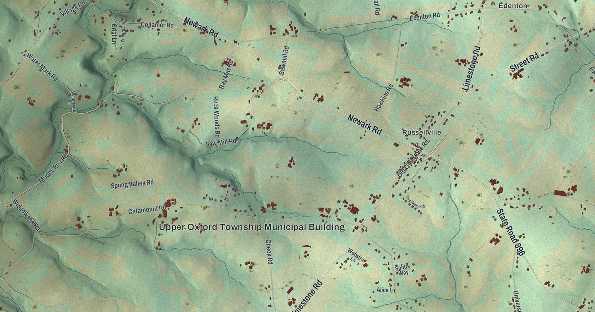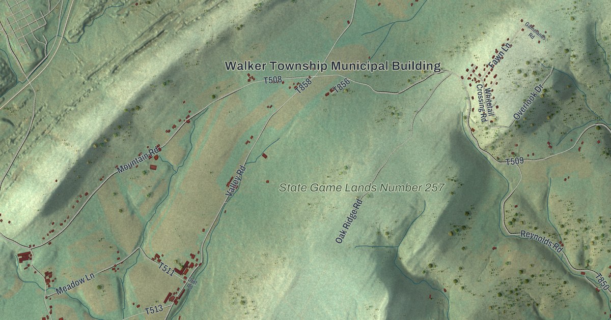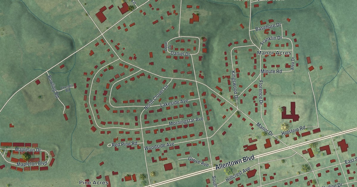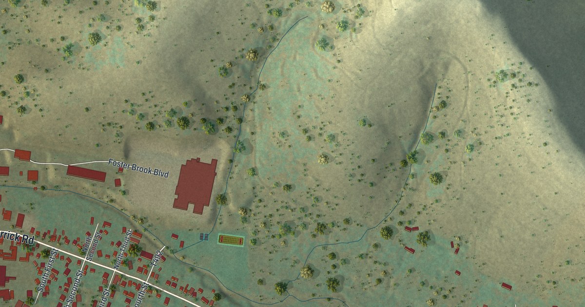
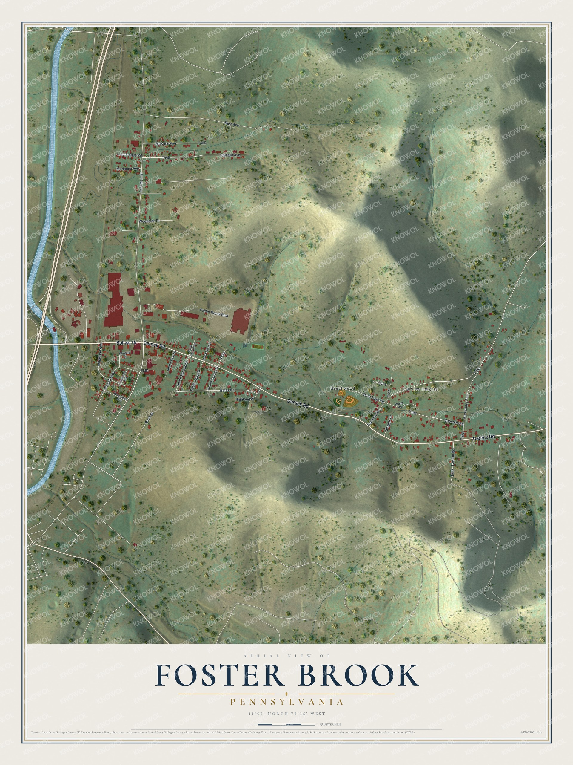
This beautifully detailed map of Foster Brook, Pennsylvania was created in 2026 using aerial imagery combined with modern topographical, census, street and landmark data. It's a modern aerial view of Foster Brook in McKean County, Pennsylvania, that combines modern data with a vintage aesthetic. The roads feature printed names, and if you look closely you can find your exact house accurately shown in its correct location.
Explore an aerial view of Foster Brook, Pennsylvania
On this map you'll find Fairview Heights, Beechwood, Bolivar Drive, Derrick Road, Bates Road, South Second Street, T358, East Main Street, Best Avenue, T448, Harrisburg Run, T360, and more. Each red shape is a building, so zoom in on the preview and look for yours.
Foster Brook is a community in McKean County. The Census Bureau counted 1,127 people here in 2020. Foster Brook sits about 3 miles northeast of Bradford, 5 miles northeast of University of Pittsburgh Bradford and 7 miles northwest of Rew. The map prints the town name in its title panel, with the coordinates below it.
Take a closer look at the Foster Brook map
Names on this map
These names are printed on this map.
Places: Fairview Heights and Beechwood.
Streets and roads: Bolivar Drive, Derrick Road, Bates Road, South Second Street, East Main Street, Best Avenue, Harrisburg Run, Leonard Avenue, Scott Field Road, Foster Brook Boulevard, Russell Boulevard, McKune Avenue.
More street names, A to Z
Babcock Road, Birch Street, Boser Road, Elmwood Avenue, Highland Drive, Lawton Road, Lincolndale Road, Morianna Avenue, North Second Street, North Third Street, Rhodes Court, Skaggs Drive, South First Street, South Fourth Street, South Third Street, Wildwood Avenue, Woodlawn Avenue, Woodside Drive.
See it on a wall
The Foster Brook map as a framed print. Swipe for more.


Created by KNOWOL in 2026. The buildings are small red shapes, the roads carry their printed names, and shaded relief shows the shape of the land. The title panel reads "AERIAL VIEW OF FOSTER BROOK, PENNSYLVANIA" with 41°59' NORTH 78°36' WEST.
It suits a den, a classroom or a front hall, and it makes a gift for anyone with Foster Brook roots. Open the preview and find the block you know. See sizes and frames for the Foster Brook map.