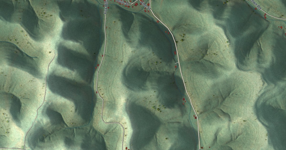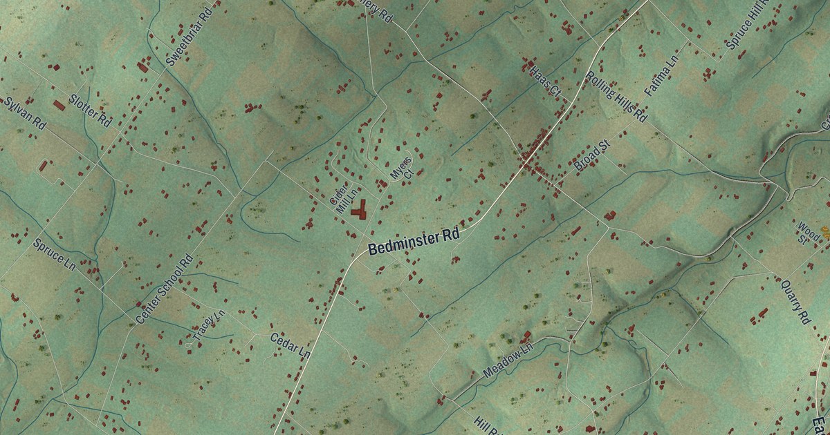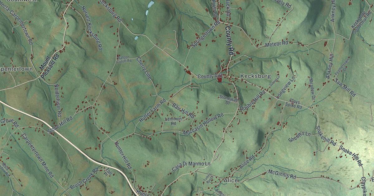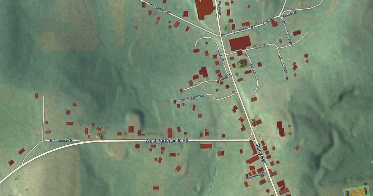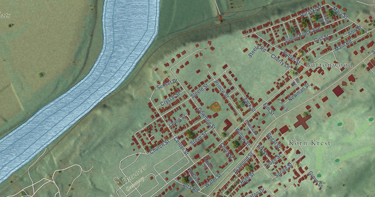
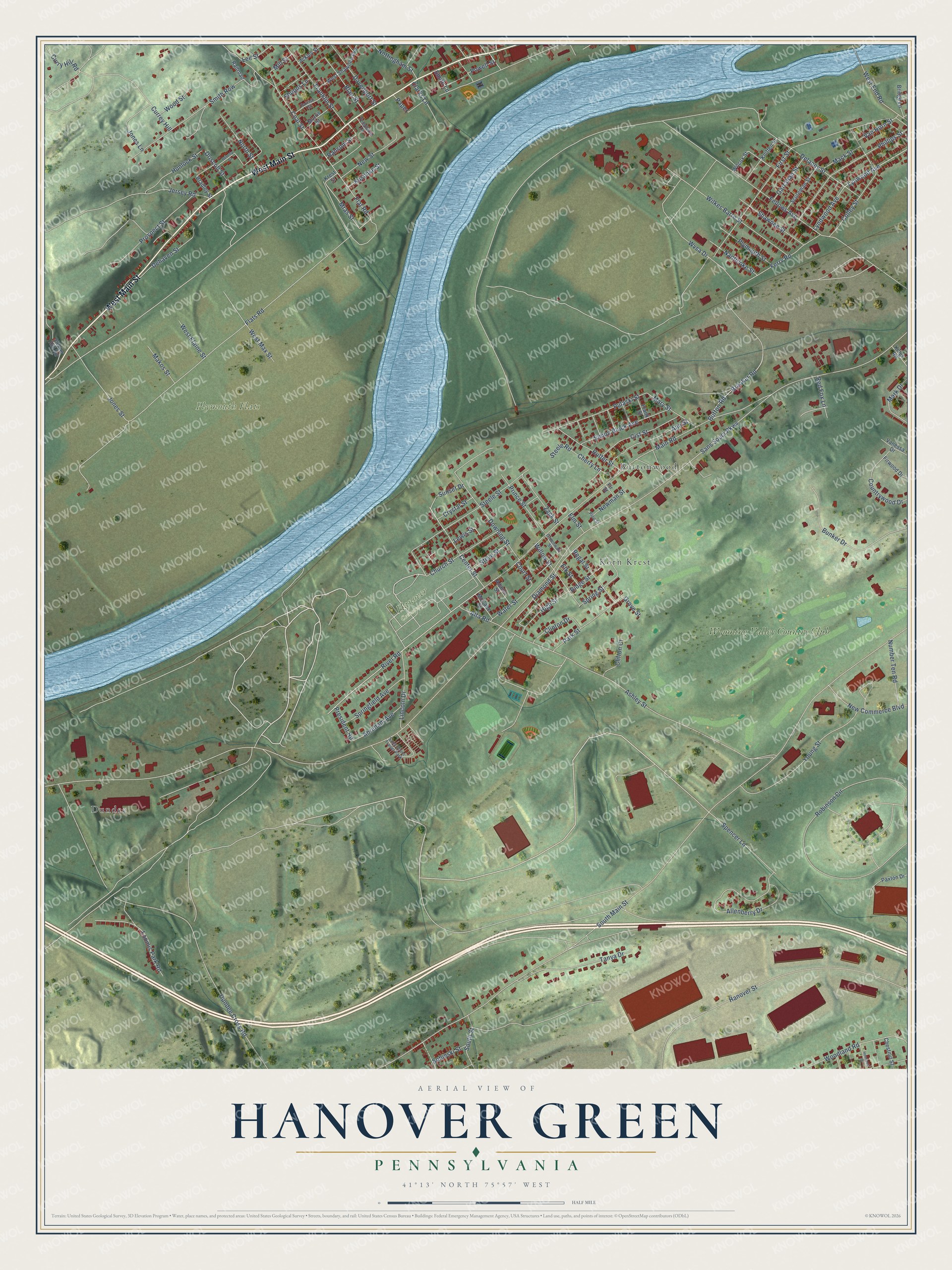
This beautifully detailed map of Hanover Green, Pennsylvania was created in 2026 using aerial imagery combined with modern topographical, census, street and landmark data. It’s a one-of-a-kind view of Hanover Green that combines accurate data with a vintage aesthetic. The map shows every building in its true location, many of the roads carry their names, and the shaded topographic relief shows the shape of the land.
Explore an aerial view of Hanover Green, Pennsylvania
On the map you’ll find Hanover Cemetery, Plymouth Flats, Dundee, Buttonwood, Korn Krest, and Wyoming Valley Country Club, along with West Main Street, Center Street, Mras Street, Sunset Drive, Flat Road, River Road, and more. If you look closely you can even find your house accurately drawn in its correct location. Zoom in on the preview to look for yours.
Did You Know?
From Internet Archive: "The cornerstone was laid in 1825 and a substantial wooden church edifice was built on the Hanover Green."
Hanover Green is a community in Luzerne County.
Take a closer look at the Hanover Green map
Names on this map
These names are printed on this map.
Places: Hanover Cemetery, Plymouth Flats, Dundee, Buttonwood, Korn Krest, Wyoming Valley Country Club and Sans Souci Trailer Park.
Streets and roads: West Main Street, Center Street, Mras Street, Sunset Drive, Flat Road, River Road, Sans Souci Parkway, South Main Street, Main Road, Flats Road, Dundee Cross Road, Ashley Street.
More street names, A to Z
Abraham Avenue, Ackley Street, Adams Street, Allenberry Drive, Alta Road, Ann Street, Beverly Drive, Blair Street, Bradley Street, Breaker Road, Bridge Lane, Bunker Drive, Button Road, Cherry Lane, Chestnut Street, Church Street, Cist Street, Clarks Lane, Clifton Court, Clinton Drive, Coal Street, Colley Street, Countrywood Drive, Court Street, Crystal Street, Currey Hill, Curry Hill Road, Davenport Street, Dehaven Street, Delaney Street, Diamond Street, Downing Street, Driscoll Street, Elk Street, Elm Street, Fellows Avenue, Ferry Road, Fir Street, First Street, Firwood Drive, Franklin Street, Frank Street, Garrahan Street, Greenwalt Street, Grove Street, Hanover Street, Hemlock Street, High Street, Hunlock Street, Jersey Road, Jones Lane, Jones Street, Kings Road, Kniffen Street, Krest Street, Kuschke Street, Lee Street, Lewis Street, Lincoln Drive, Loomis Park Road, Lyndwood Avenue, Lynwood Avenue, Mack Street, Makos Street, Mark Drive, Mary Street, McCabe Street, Mill Street, Morris Street, Nanticoke Street, New Commerce Boulevard, Newman Street, New Street, North Street, Nottingham Street, Number Ten Road, Paper, Park Street, Parrish Street, Paxton Drive, Phillips Street, Pine Street, Plymouth Street, Powell Street, President Road, Prince Street, Prospect Street, Pulaski Street, Railroad, Ransom Street, Red Fox Lane, Regal Street, Ridge Street, Robinson Circle, Rutter Street, Scureman Street, Shawnee Street, Shupps Lane, Sickler Hill Road, Simon Block Avenue, Smith Lane, Smith Row, Sobieski Street, South Street, Spencer Lane, Springfield Avenue, Spring Street, Steele Road, Steele Street, Steve Street, Tanya Drive, Templeton Lane, Vanessa Drive, Van Horn Street, Water Street, West Elaine Street, West End Road, West Max Street, West Shawnee Avenue, Wilcox Street, Wilkes Barre Street, Willow Street, Woodland Road, Wood Street, Wvsa Drive, Young Street, Zack Street.
See it on a wall
The Hanover Green map as a framed print. Swipe for more.


This beautifully detailed map of Hanover Green makes an attractive addition to your office, library, or den, and it can even be used to teach children the geography and history of the area. It also makes a great gift for anyone with Hanover Green roots. When you’re done exploring, click here to get your copy of the Hanover Green map.