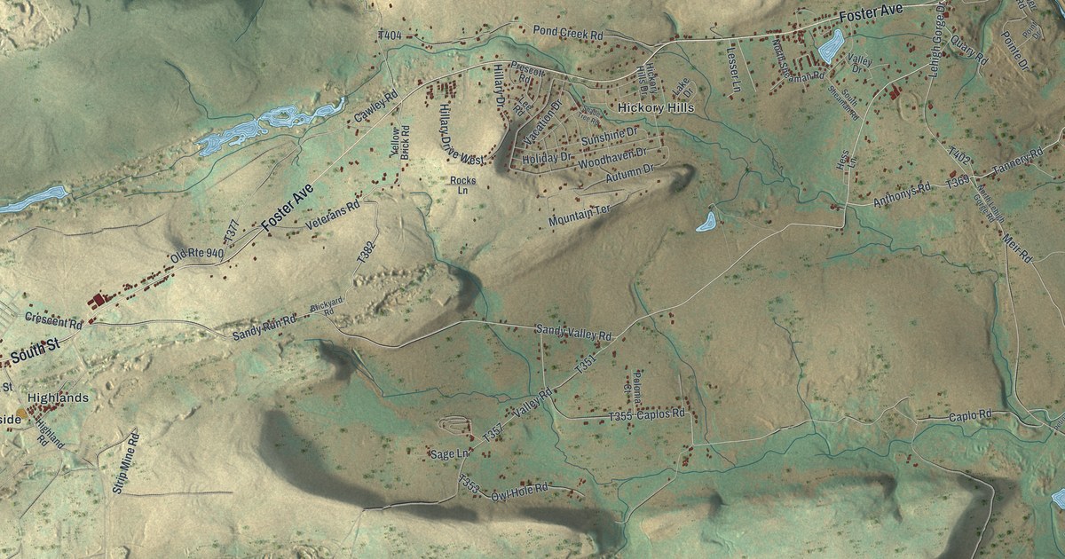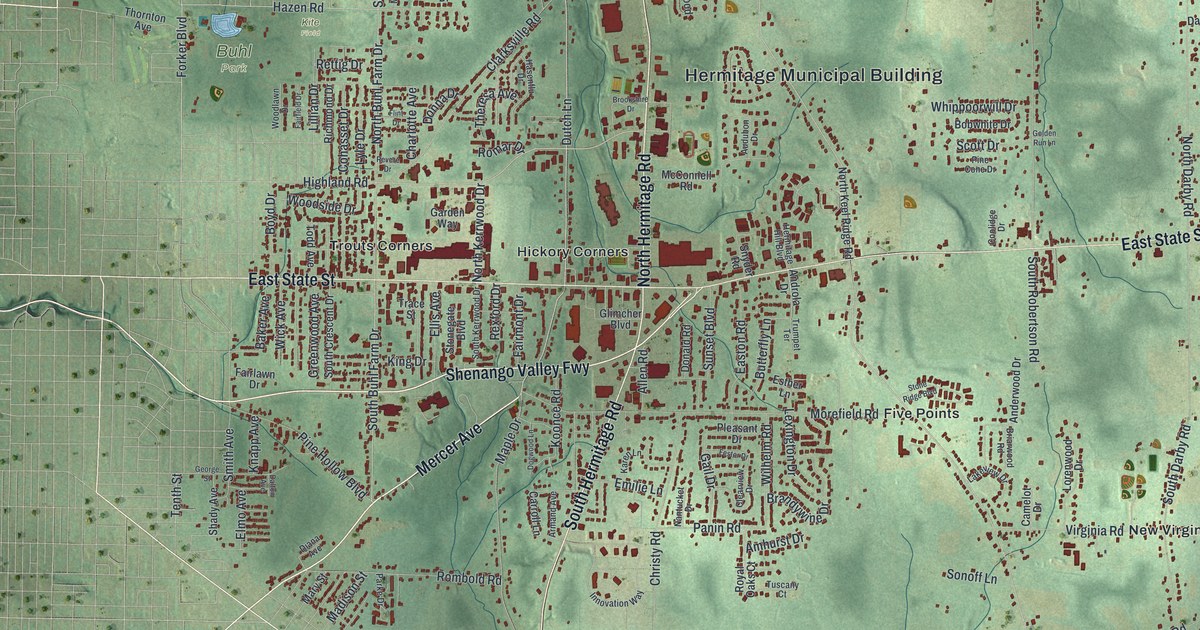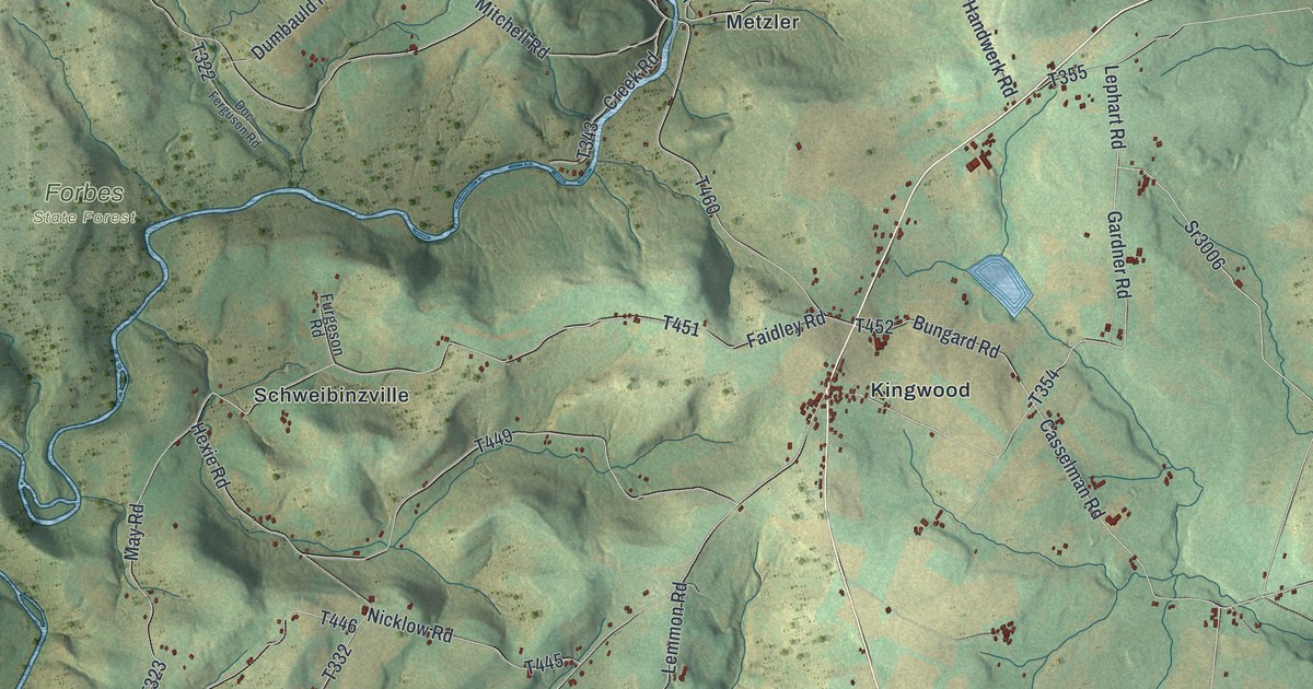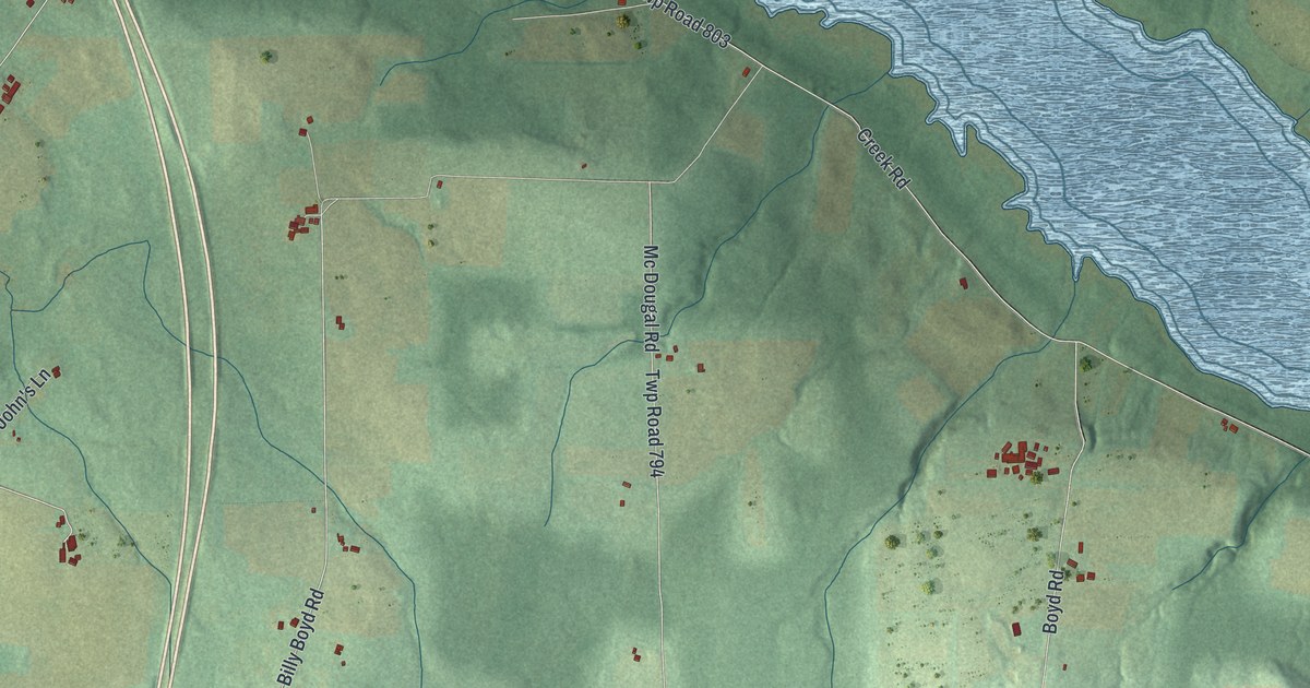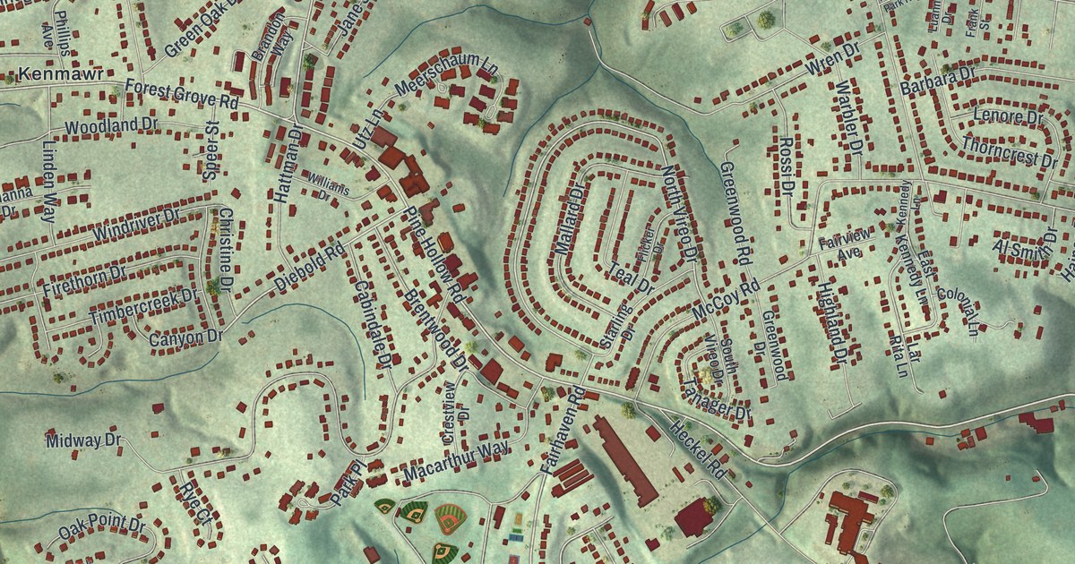
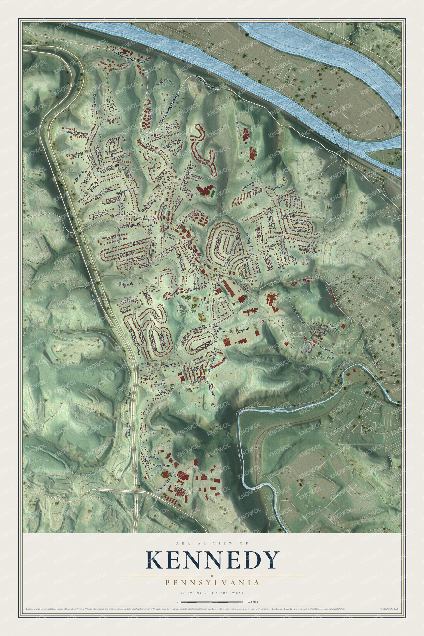
This beautifully detailed map of Kennedy, Pennsylvania was created in 2026 using aerial imagery combined with modern topographical, census, street and landmark data. It’s a one-of-a-kind view of Kennedy that combines accurate data with a vintage aesthetic. The map shows every building in its true location, many of the roads carry their names, and the shaded topographic relief shows the shape of the land.
Explore an aerial view of Kennedy, Pennsylvania
On the map you’ll find Fairhaven Park, Mount Calvary Cemetery, Saint Mary’s Cemetery, Kenmawr, and Moon Run, along with Old Fleming Park Road, Robinson Boulevard, Coraopolis Road, Pine Hollow Road, Fairhaven Road, Forest Grove Road, Lorish Road, and more. If you look closely you can even find your house accurately drawn in its correct location. Zoom in on the preview to look for yours.
Did You Know?
From the Allegheny County PAGenWeb: "The first church in Kennedy was Mt. Calvary Evangelical Lutheran Church in 1843. Gas, oil and coal mining were crucial to keeping Kennedy Township afloat."
Take a closer look at the Kennedy map
Names on this map
These names are printed on this map.
Places: Fairhaven Park, Mount Calvary Cemetery, Saint Mary's Cemetery, Kenmawr and Moon Run.
Streets and roads: Old Fleming Park Road, Robinson Boulevard, Coraopolis Road, Pine Hollow Road, Fairhaven Road, Forest Grove Road, Lorish Road, McKees Rocks Road, Kenridge Drive, Diebold Road, North Vireo Drive, Herbst Road.
More street names, A to Z
Agnes Street, Aiken Road, Aiken Road Extended, Al Smith Drive, Barbara Drive, Beecham Drive, Bilmar Drive, Bostian Drive, Brandon Way, Brentwood Drive, Brightwood Drive, Bryan Drive, Cabindale Drive, Canyon Drive, Castle View Drive, Chartiers Avenue, Christine Drive, Clever Road, Colonial Lane, Connie Park Drive, Coolidge Drive, Cortland Street East, Crabapple Road, Creek Road, Crestview Drive, Crown Street, Cutter Drive, Dines Drive, Downs Drive, East Kennedy Lane, East Ridge Road, Ehle Avenue, Ewing Road, Fairview Avenue, Fiddleback Drive, Firethorn Drive, Fleming Park Road, Flicker Drive, Frank Street, Gawaldo Drive, Grace Street, Grant Street, Green Oak Drive, Greenwood Drive, Greenwood Road, Haines Drive, Hattman Drive, Hawthorne Drive, Heckel Road, Helen Street, Herbst Manor Road, Hickory Street, Highland Drive, Howard Drive, Jane Street, Jefferson Street, Jenny Lane, Julia Lane, Julianna Drive, Katherine Lane, Kennedy Lane, Kenwood Drive, Kisow Drive, Langer Drive, Lar Rita Lane, Laurel Ridge Road, Lenore Drive, Linden Way, Locust Street, Long Ridge Drive, Long Valley Drive, Longview Drive, Luann Drive, Macarthur Way, Mallard Drive, Maple Lane, Marino Lane, Mary Avenue, Mary Street, McCoy Road, McKinley Drive, Meerschaum Lane, Midway Drive, Navarone Drive, Nolte Lane, Oak Point Circle, Oak Point Drive, Oval Place, Park Place, Patterson Lane, Phillips Avenue, Pitchfork Lane, Poplar Street, Porters Hollow Road, Ridge Lane, Robb Street, Rose Avenue, Rossi Drive, Rye Court, Scenic Drive, Sipe Road, Southview Drive, South Vireo Drive, Speer Street, Stanford Court, Starling Drive, Stonehedge Drive, Summit Street, Sunridge Drive, Sunset Drive, Tanager Drive, Teal Drive, Terra Drive, Thorncrest Drive, Timbercreek Drive, Timber Lane, Triangle Drive, Utz Lane, Van Buren Circle, Vigne Street, Warbler Drive, Washington Street, Williams Drive, William Street, Willow Street, Windriver Drive, Woodland Drive, Wren Drive.
See it on a wall
The Kennedy map as a framed print. Swipe for more.


This beautifully detailed map of Kennedy makes an attractive addition to your office, library, or den, and it can even be used to teach children the geography and history of the area. It also makes a great gift for someone who left Kennedy and still calls it home. When you’re done exploring, click here to get your copy of the Kennedy map.