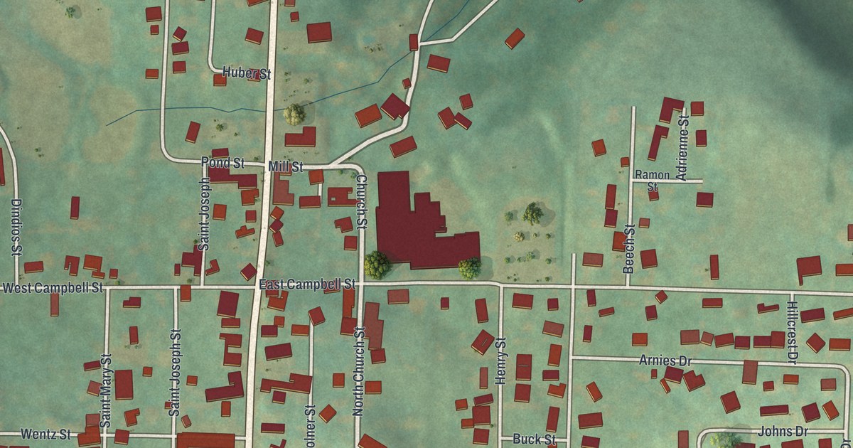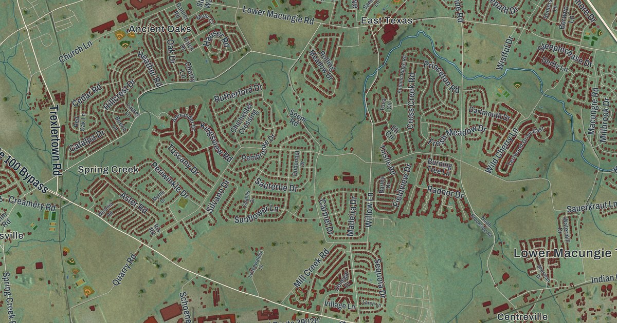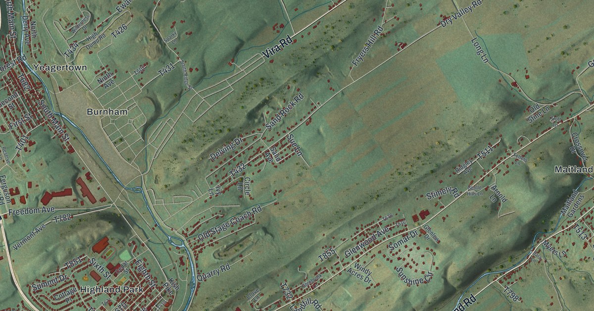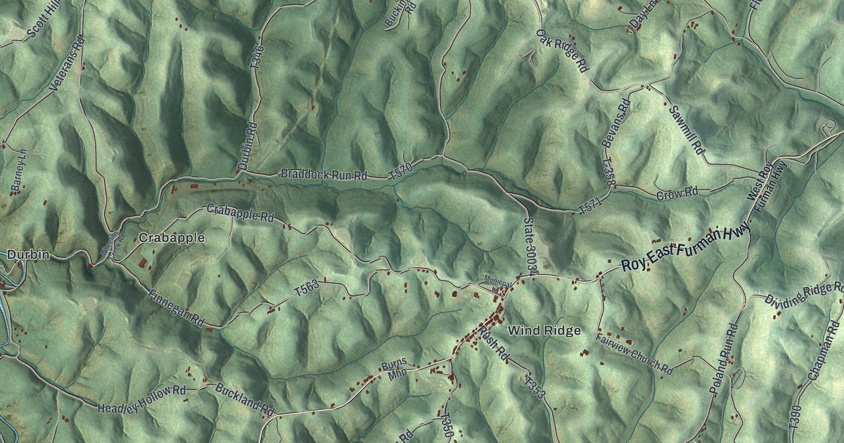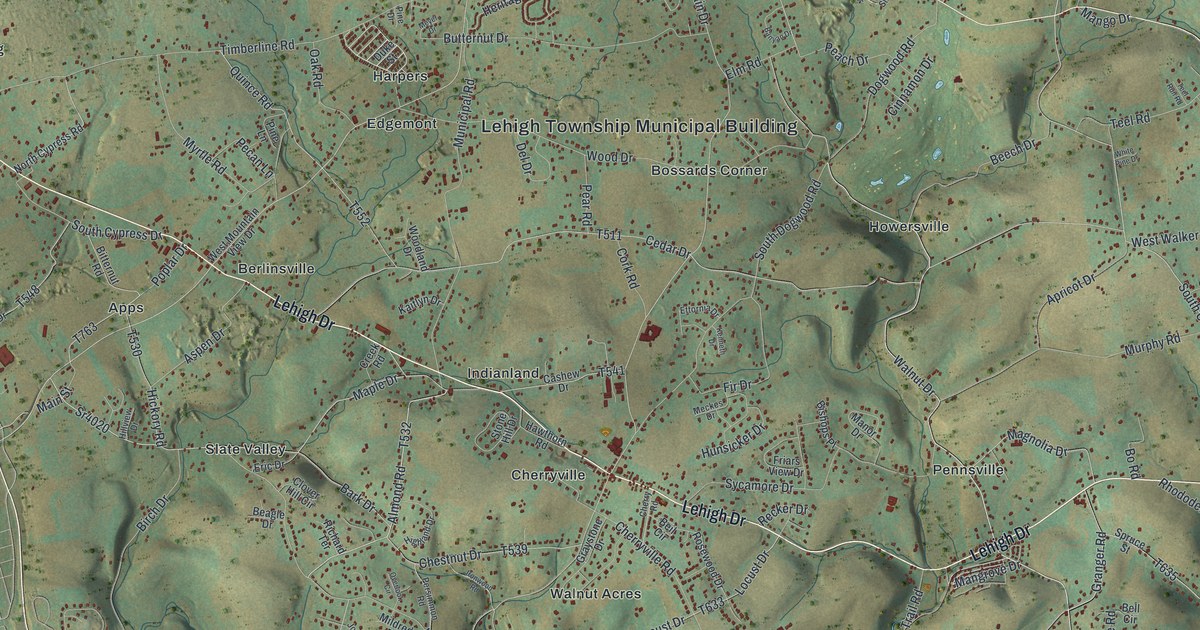
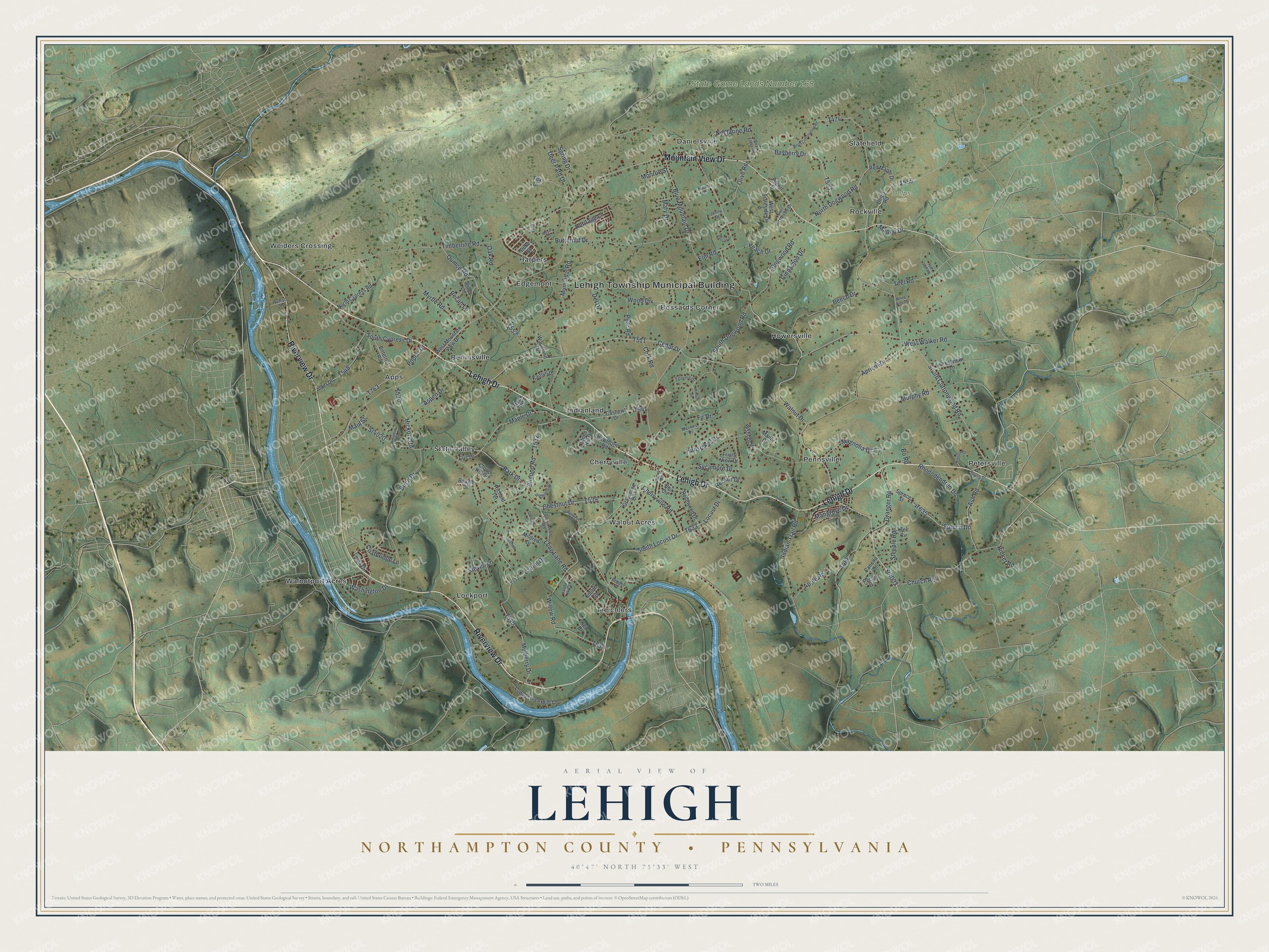
This beautifully detailed map of Lehigh, Northampton County, Pennsylvania was created in 2026 using aerial imagery combined with modern topographical, census, street and landmark data. It's a modern aerial view of Lehigh, Northampton County in Northampton County, Pennsylvania, that combines modern data with a vintage aesthetic. The roads feature printed names, and if you look closely you can find your exact house accurately shown in its correct location.
Explore an aerial view of Lehigh, Northampton County, Pennsylvania
On this map you'll find Lehigh Township Municipal Building, Delps Park, State Game Lands Number 168, Apps, Berlinsville, Bossards Corner, Cherryville, Danielsville, Edgemont, Harpers, Howersville, Indianland, and more. Each red shape is a building, so zoom in on the preview and look for yours.
Every town has a first chapter, and Lehigh, Northampton County is no exception. The Lehigh Township puts it this way: "Lehigh Township was surveyed in 1735 by orders of Thomas Penn. It was proposed that 6,500 acres be set aside for Native Americans, but the land became a settlement of immigrants instead. Before October 1752, when the township was officially created, the area had been called Adjacents to Allen, which probably refers to adjacent Allen Township."
Lehigh, Northampton County is a place in Northampton County. The Census Bureau counted 10,774 people here in 2020.
Take a closer look at the Lehigh, Northampton County map
Names on this map
These names are printed on this map.
Places: Lehigh Township Municipal Building, Delps Park, State Game Lands Number 168, Apps, Berlinsville, Bossards Corner, Cherryville, Danielsville, Edgemont, Harpers, Howersville, Indianland, Lockport, Pennsville, Petersville, Rockville, Slate Valley, Slatefield, Treichlers, Walnut Acres, Walnutport Acres and Weiders Crossing.
Streets and roads: Riverview Drive, Lehigh Drive, Mountain View Drive, Sr4003, Walnut Drive, South Cottonwood Road, Main Street, Mary Drive, Blue Mountain Drive, Almond Road, Sr4020, Teel Road.
More street names, A to Z
Alder Drive, Apple Road, Apricot Drive, Ash Road, Aspen Drive, Banyan Drive, Bark Drive, Bayberry Drive, Beagle Drive, Beech Drive, Beil Circle, Bell Circle, Birch Drive, Bishops Place, Bitternut Road, Bo Road, Box Elder Road, Butternut Drive, Canella Drive, Cashew Drive, Cedar Drive, Cherry Road, Cherryville Road, Chestnut Drive, Church Road, Cinnamon Drive, Clover Hill Circle, Coatbridge Lane, Cork Road, Creek Road, Crestview Lane, Deer Path Drive, Del Drive, Delps Road, Dogwood Road, Duke Street, East Stateside Drive, Elm Road, Eric Drive, Ettornia Drive, Filbert Drive, Fir Drive, Fourth Street, Fox Drive, Friars View Drive, Granger Road, Graystone Drive, Hawthorn Road, Heritage Lane, Hickory Road, Highland Drive, Hillview Drive, Hunsicker Drive, Indian Trail Road, Ironwood Road, Jenny Drive, Joshua Lane, Kaitlyn Drive, Keh Drive, Kenneth Drive, Kratzer Road, Laurel Drive, Linda Drive, Locust Drive, Long Lane Road, Lower Three Mile Lane, Magnolia Drive, Mango Drive, Mangrove Drive, Manor Drive, Maple Drive, Meckes Drive, Meyer Drive, Mildred Drive, Monroe Street, Mulberry Drive, Municipal Road, Murphy Road, Myrtle Road, Naomi Drive, Nectarine Road, North Cottonwood Road, North Cypress Road, North Dogwood Road, Oak Road, Olive Road, Overlook Circle, Peach Drive, Pear Road, Pecan Drive, Pecan Lane, Pepper Drive, Persimmon Road, Pine Drive, Pine Lane, Poplar Drive, Popular Drive, Quince Road, Recker Drive, Red Maple Drive, Rhododendron Drive, Richard Terrace, Rinker Road, Rosewood Drive, South Cypress Drive, South Dogwood Road, South Locust Drive, Spring Drive, Spruce Drive, Spruce Street, Steeple Road, Steven Lane, Stone Hill Drive, Sycamore Drive, Teel Run Road, Timberline Road, Valley Hi Court, Walnut Street, Washington Drive, West Mountain View Drive, West Stateside Drive, West Walker Road, White Pine Drive, Willow Road, Wood Drive, Woodland Drive.
Created by KNOWOL in 2026. The buildings are small red shapes, the roads carry their printed names, and shaded relief shows the shape of the land. The title panel reads "AERIAL VIEW OF LEHIGH NORTHAMPTON COUNTY • PENNSYLVANIA" with 4, 0, °, 4, 7, ', , N, O, R, T, H, , 7, 5, °, 3, 3, ', , W, E, S, T.
Hang it in the hallway, the office or the cabin, or give it to someone who left Lehigh, Northampton County and still calls it home. Open the preview and look for a street you know. See sizes and frames for the Lehigh, Northampton County map.