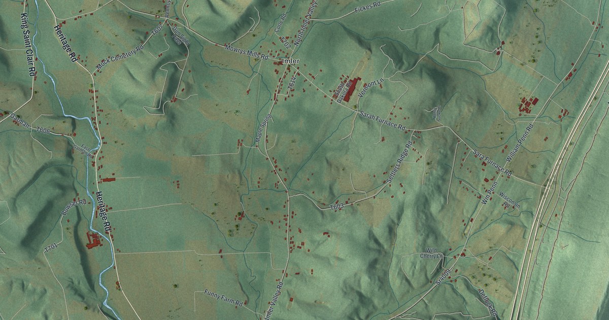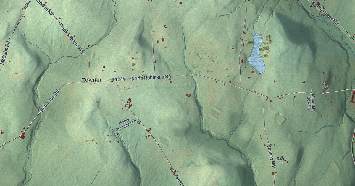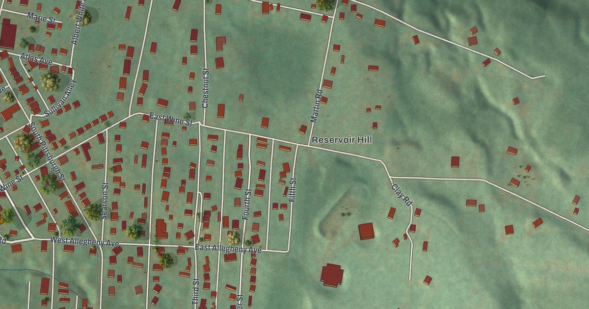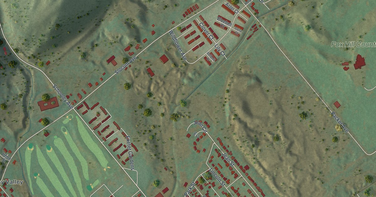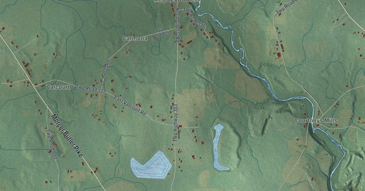
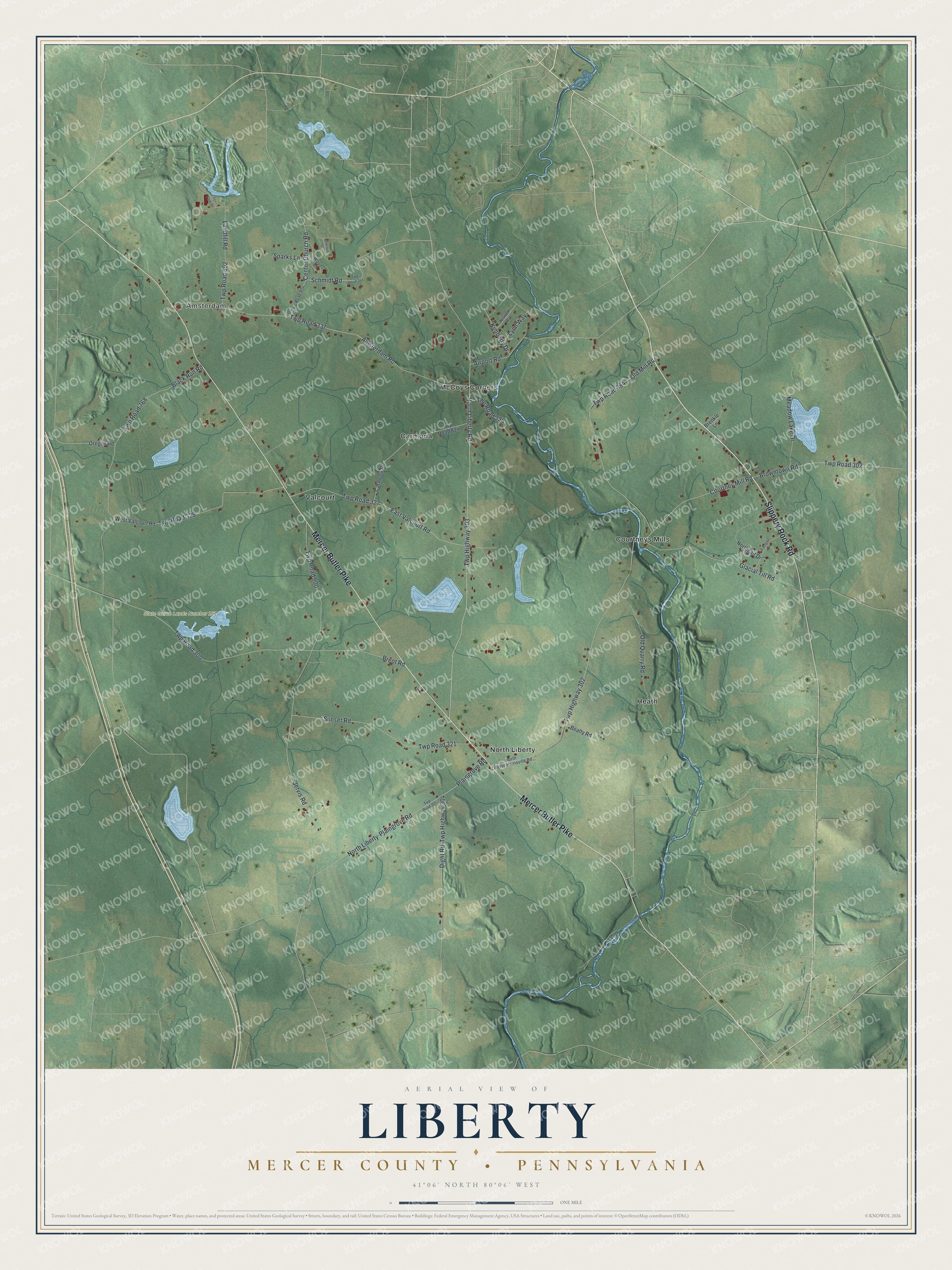
This beautifully detailed map of Liberty, Mercer County, Pennsylvania was created in 2026 using aerial imagery combined with modern topographical, census, street and landmark data. It's a modern aerial view of Liberty, Mercer County in Mercer County, Pennsylvania, that combines modern data with a vintage aesthetic. The roads feature printed names, and if you look closely you can find your exact house accurately shown in its correct location.
Explore an aerial view of Liberty, Mercer County, Pennsylvania
On this map you'll find Amsterdam, State Game Lands Number 151, Carmona, Courtneys Mills, Heath, McCoys Corners, North Liberty, Valcourt, Slippery Rock Road, Mercer Butler Pike, Airport Road, Twp Highway 303, and more. Each red shape is a building, so zoom in on the preview and look for yours.
Here is a piece of Liberty, Mercer County history, in the words of the record. The Internet Archive puts it this way: "William Smith was the first of the Smith family to settle in this county. He was a native of York County, Penn. , and moved into this county about 1800, and located on a tract of land in Liberty Township, which is now occupied by his grandson."
Liberty, Mercer County is a place in Mercer County. The Census Bureau counted 1,405 people here in 2020.
Take a closer look at the Liberty, Mercer County map
Names on this map
These names are printed on this map.
Places: Amsterdam, State Game Lands Number 151, Carmona, Courtneys Mills, Heath, McCoys Corners, North Liberty and Valcourt.
Streets and roads: Slippery Rock Road, Mercer Butler Pike, Airport Road, Twp Highway 303, North Liberty Road, Twp Road 302, Twp Highway 302, Courtney Mill Road, Twp Road 337, Jervis Road, Twp Road 800, Amsterdam Road.
More street names, A to Z
Aylsworth Way, Beatty Road, Black Run Road, Brenkle Lane, Brent Road, Browntown Road, Carmona Road, Center Church Road, Dight Road, Eastgait Drive, East Valcourt Road, Glacial Till Road, Kimberly Drive, Landfill Road, Lynn Way, Meadow Lake Drive, Nicklaus Court, Northgait Drive, North Liberty-Harrisville Road, North Liberty-Plaingrove Road, Old Mill Road, Old Quarry Road, Oregon Road, Plaingrove Road, Schmidt Road, Sparks Lane, Sunset Road, Tci Park Drive, Twp Highway 304, Twp Road 300, Twp Road 301, Twp Road 321, Twp Road 325, Twp Road 327, Twp Road 336, Twp Road 341, Twp Road 768, Twp Road 802, Twp Road 804, Twp Road 824, Twp Road 854, West Valcourt Road, Woods Court.
Created by KNOWOL in 2026. The buildings are small red shapes, the roads carry their printed names, and shaded relief shows the shape of the land. The title panel reads "AERIAL VIEW OF LIBERTY MERCER COUNTY • PENNSYLVANIA" with 4, 1, °, 0, 6, ', , N, O, R, T, H, , 8, 0, °, 0, 6, ', , W, E, S, T.
It suits a den, a classroom or a front hall, and it makes a gift for anyone with Liberty, Mercer County roots. Open the preview and find the block you know. See sizes and frames for the Liberty, Mercer County map.