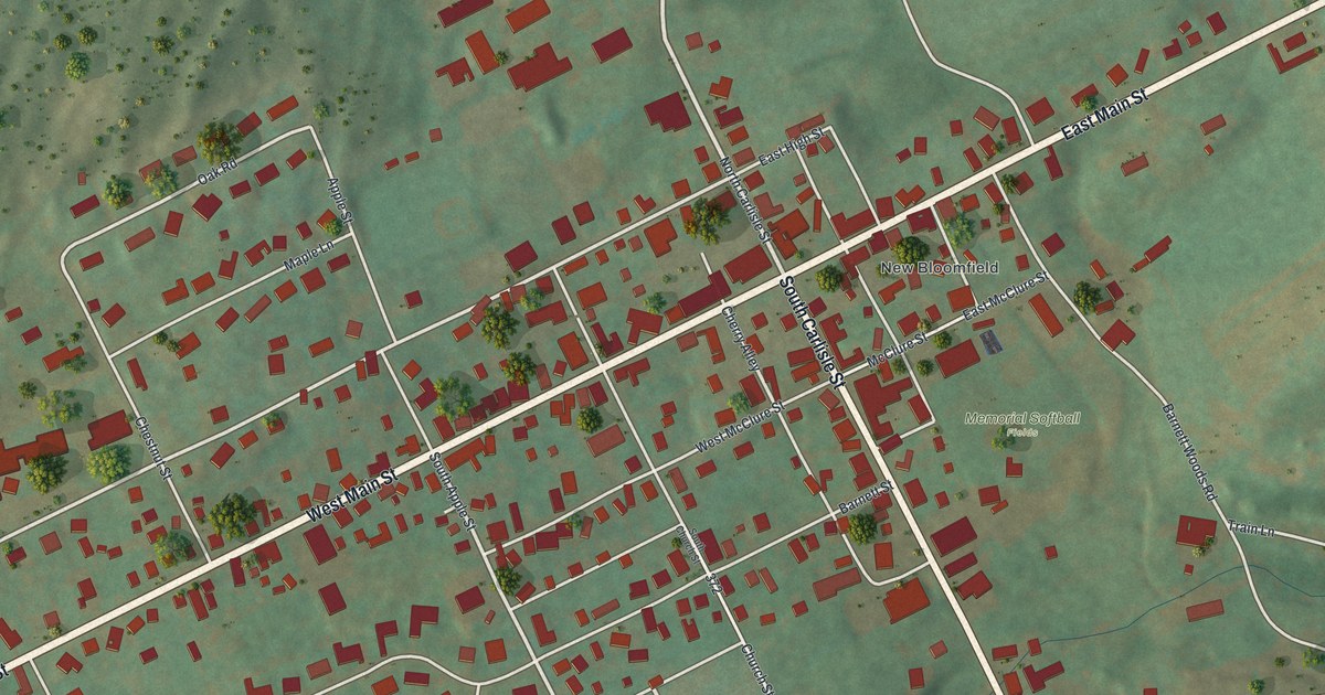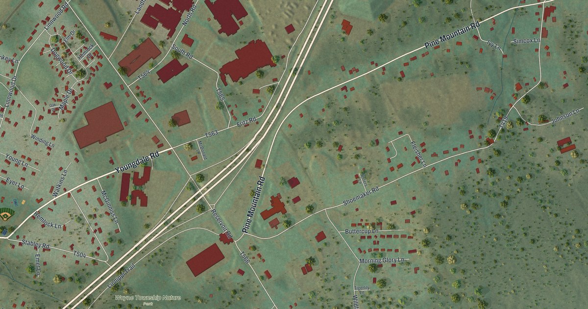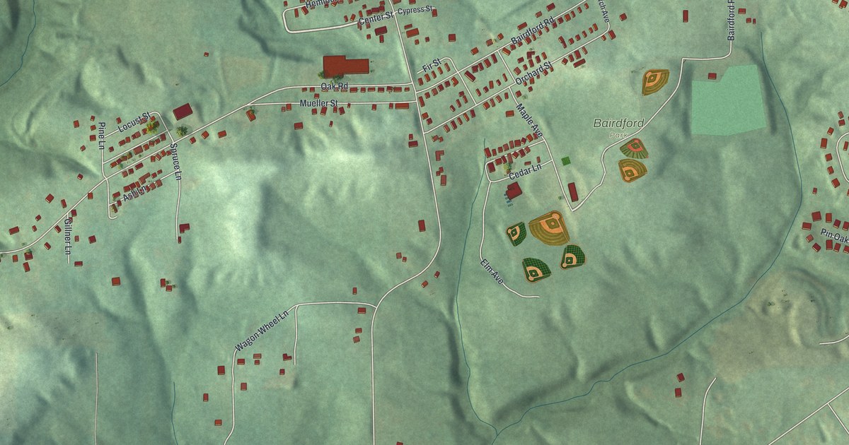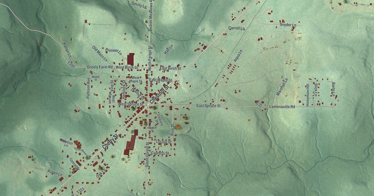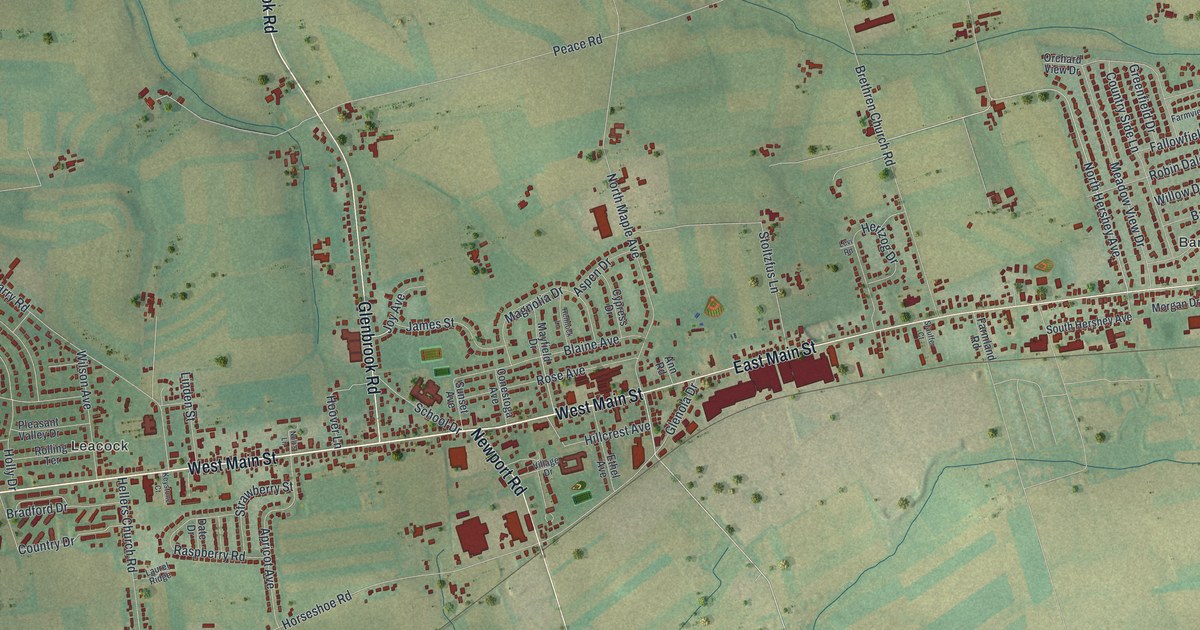
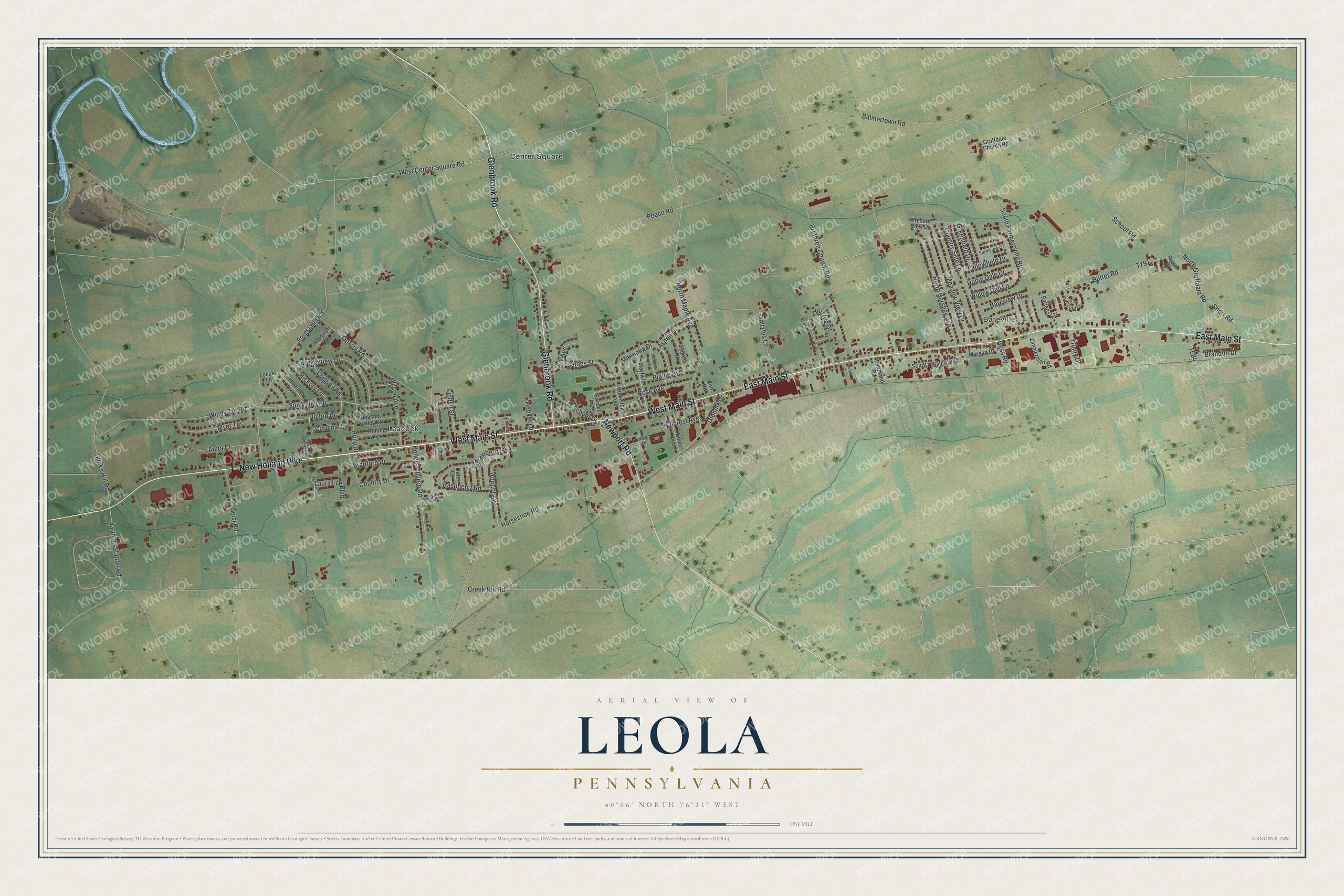
This beautifully detailed map of Leola, Pennsylvania was created in 2026 using aerial imagery combined with modern topographical, census, street and landmark data. It's a modern aerial view of Leola in Lancaster County, Pennsylvania, that combines modern data with a vintage aesthetic. The roads feature printed names, and if you look closely you can find your exact house accurately shown in its correct location.
Explore an aerial view of Leola, Pennsylvania
On this map you'll find Leacock, Bareville, Center Square, West Main Street, Glenbrook Road, East Main Street, New Holland Pike, Newport Road, North Hershey Avenue, Peace Road, West Center Square Road, T791, and more. Each red shape is a building, so zoom in on the preview and look for yours.
Every town has a first chapter, and Leola is no exception. Harry Stauffer bought ground in Leola in 1890 and opened a coal, lumber and feed business there. He was appointed postmaster in 1891. By 1903 his yard, with a three-story feed building that held eighteen carloads, was called the most complete country business property of its kind in the state. That's from the Biographical Annals of Lancaster County.
Leola is a community in Lancaster County. The Census Bureau counted 7,465 people here in 2020.
Take a closer look at the Leola map
Names on this map
These names are printed on this map.
Places: Leacock, Bareville and Center Square.
Streets and roads: West Main Street, Glenbrook Road, East Main Street, New Holland Pike, Newport Road, North Hershey Avenue, Peace Road, West Center Square Road, Creek Hill Road, Forest Hill Road, Horseshoe Road, North Maple Avenue.
More street names, A to Z
Anita Court, Ann Road, Apricot Avenue, Aspen Drive, Balmertown Road, Bareview Drive, Battens Circle, Blaine Avenue, Bradford Drive, Brandon Drive, Brethren Church Road, Butter Road, Cardinal Lane, Concord Drive, Conestoga Avenue, Country Drive, Country Side Lane, Cypress Drive, Date Drive, Ethel Avenue, Fallowfield Drive, Farmland Road, Farmview Drive, Geist Road, Glenola Drive, Greenfield Drive, Groffdale Church Road, Hartman Station Road, Hellers Church Road, Hemlock Lane, Hertzog Drive, Hess Road, Hickory Lane, Hillcrest Avenue, Hilltop Drive, Holly Drive, Hoover Lane, James Street, Joy Avenue, Keystone Court, Laura Lee Boulevard, Laurel Ridge, Levi Road, Linden Street, Locust Lane, Logging Road, Magnolia Drive, Market Square, Mayfield Drive, Meadow View Drive, Morgan Drive, Myer Terrace, Nolt's Lane, North Groffdale Road, Orchard View Drive, Pleasant Valley Drive, Quarry Road, Raspberry Road, Ricklin Drive, Ridge View Drive, Robin Dale Drive, Rolling Terrace, Rose Avenue, School Drive, School Road, Short Road, Snake Hill Road, Snapdragon Drive, South Farmersville Road, South Hershey Avenue, Stauffer Court, Stoltzfus Lane, Strawberry Street, Sunset Avenue, Sun Valley Drive, Timberline Drive, Trinity Drive, Village Drive, Willow Dell Lane, Wilson Avenue, Windy Tor Road, Zimmerman Road.
See it on a wall
The Leola map as a framed print. Swipe for more.


Created by KNOWOL in 2026. The buildings are small red shapes, the roads carry their printed names, and shaded relief shows the shape of the land. The title panel reads "AERIAL VIEW OF LEOLA, PENNSYLVANIA" with 40°06' NORTH 76°11' WEST.
Hang it in the hallway, the office or the cabin, or give it to someone who left Leola and still calls it home. Open the preview and look for a street you know. See sizes and frames for the Leola map.