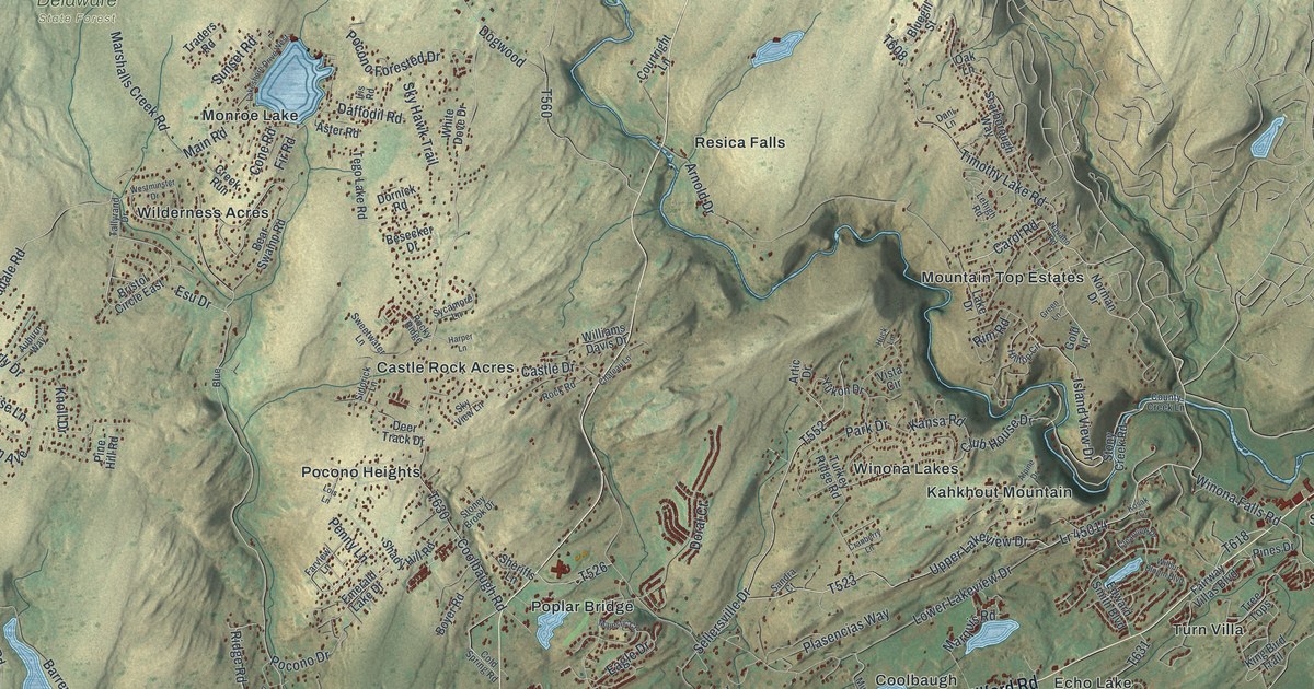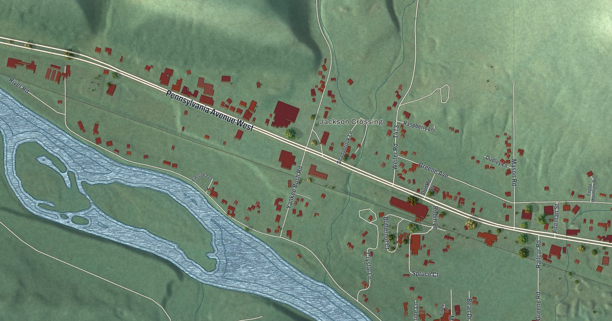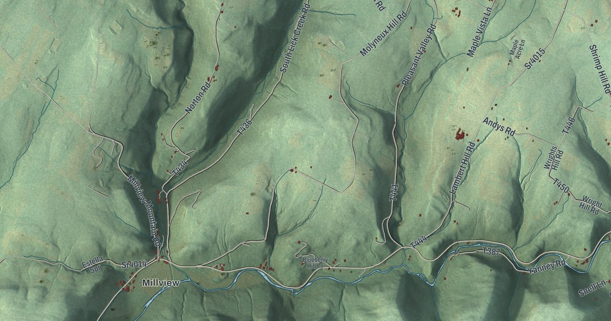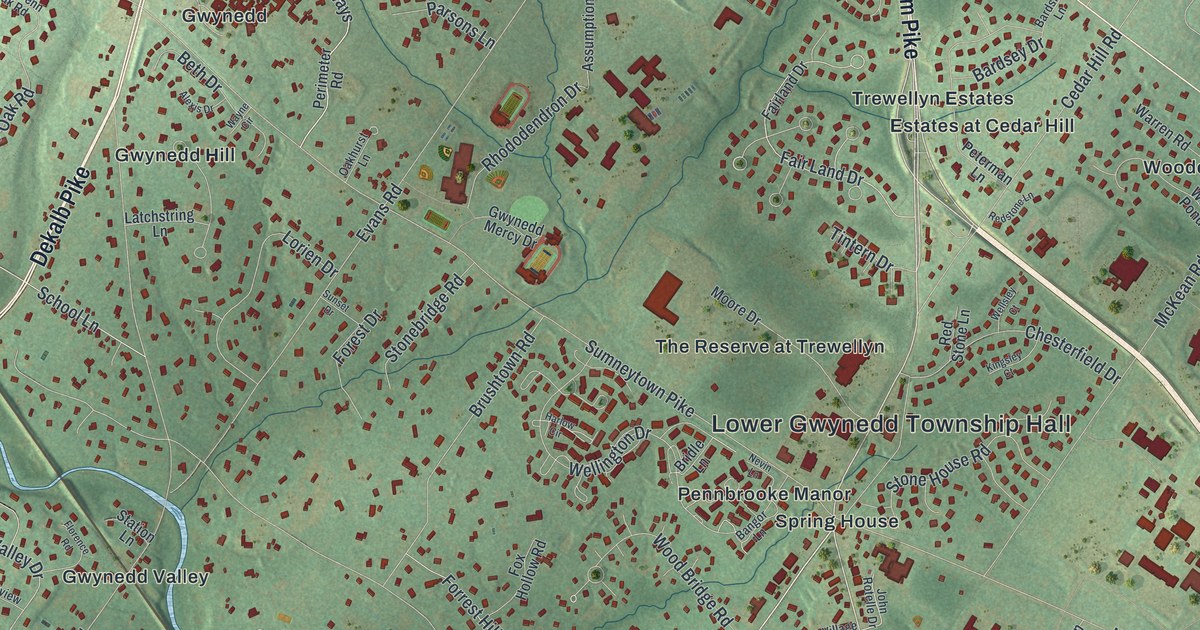
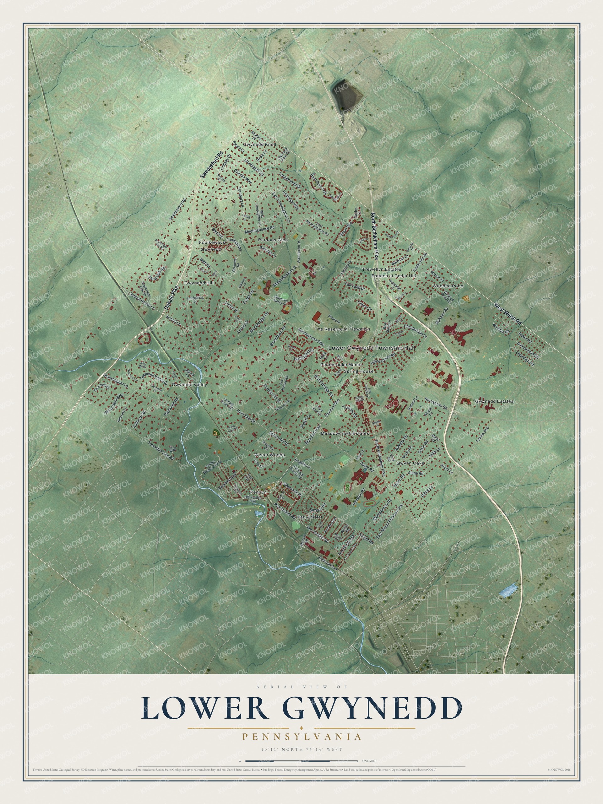
This beautifully detailed map of Lower Gwynedd, Pennsylvania was created in 2026 using aerial imagery combined with modern topographical, census, street and landmark data. It’s a one-of-a-kind view of Lower Gwynedd that combines accurate data with a vintage aesthetic. The map shows every building in its true location, many of the roads carry their names, and the shaded topographic relief shows the shape of the land.
Explore an aerial view of Lower Gwynedd, Pennsylvania
On the map you’ll find Lower Gwynedd Township Hall, Estates at Cedar Hill, Foulkeways, Gwynedd, Gwynedd Estates, Gwynedd Hill, Gwynedd Knoll, Gwynedd Valley, Gwynn Oaks, Meadowcreek Estates, Parsons Glen, Pen Ambler, and more. If you look closely you can even find your house accurately drawn in its correct location. Zoom in on the preview to look for yours.
Did you know this piece of Lower Gwynedd, Pennsylvania history?
From LivingPlaces: "Lower Gwynedd is one of the oldest townships in Montgomery County. The Quakers settled Gwynedd Township in the late 1600's. With the help of the leadership of William Penn the township was developed and later separated in 1891 into Lower and Upper Gwynedd."
Take a closer look at the Lower Gwynedd map
Street and place names on the Lower Gwynedd, Pennsylvania map
These names are printed on the map of Lower Gwynedd, Pennsylvania.
Places: Lower Gwynedd Township Hall, Estates at Cedar Hill, Foulkeways, Gwynedd, Gwynedd Estates, Gwynedd Hill, Gwynedd Knoll, Gwynedd Valley, Gwynn Oaks, Meadowcreek Estates, Parsons Glen, Pen Ambler, Penllyn, Pennbrooke Manor, Spring House, The Reserve at Trewellyn, Trewellyn Estates, Wister Woods and Wooded Pond.
Streets and roads: North Bethlehem Pike, Dekalb Pike, West Welsh Road, Swedesford Road, Penllyn Pike, Blue Bell Pike, Sloan Way, Pen Ambler Road, Pen-Ambler Road, Township Line Road, Gwynedd Valley Drive, Evans Road.
More street names, A to Z
Albemarle Drive, Aleinu Road, Alene Road, Alexis Drive, Annasmead Road, Arbor Lane, Assumption Drive, Baker Road, Bangor Lane, Bardsey Drive, Bardsley Lane, Beaumont Place, Bent Road, Beth Drive, Bridle Lane, Brights Lane, Brookside Avenue, Brushtown Road, Buckley Road, Burl Road, Cathcart Road, Cedar Hill Road, Chesterfield Drive, Claudia Way, Crestview Drive, Dager Road, Darden Drive, Davis Road, East Avenue, East Francis Avenue, East Lamplighter Lane, East Meetinghouse Road, East Mount Pleasant Avenue, Fair Land Drive, Fairland Drive, Florence Road, Fording Brook Road, Forest Drive, Forrest Hill Drive, Foulke Avenue, Foxfield Road, Fox Hollow Road, Gladestry Lane, Grasshopper Lane, Gwynedd Avenue, Gwynedd Mercy Drive, Gwynedd View Road, Gypsy Hill Road, Hancock Road, Harlow Circle, Hillcrest Lane, Hobby Horse Hill, Hoover Avenue, Hope's Lane, Houston Road, Hunt Club Trail, Hunt Seat Drive, John Rotelle Drive, Johns Lane, Judie Lane, Kellogg Drive, Kingsley Court, Kings Mill Road, Knight Road, Kyle Lane, Latchstring Lane, Laura Lane, Lindsay Drive, Llewellyn Road, Lorien Drive, Marie Road, Marion Avenue, Mathers Road, McKean Road, Meetinghouse Road, Merrill Road, Montgomery Road, Moore Drive, Nevin Lane, Norma Road, Norristown Road, North Penn Oak Road, Oakhurst Lane, Old Penllyn Pike, Overbrook Drive, Parsons Lane, Penllyn Woods Park Drive, Penn Brooke, Penn Oak Road, Perimeter Road, Peterman Lane, Plymouth Road, Radcliff Lane, Railroad Avenue, Red Stone Lane, Redstone Lane, Regency Circle, Rhododendron Drive, Roberts Road, Rose Lane, School House Lane, School Lane, Shebie Lane, South Penn Oak Road, Stafford Drive, Station Lane, Stonebridge Road, Stone House Road, Stonington Circle, Sturgis Lane, Sumneytown Pike, Sunset Drive, Tanglewood Drive, Tennis Avenue, Tintern Drive, Trewellyn Avenue, Turnbury Lane, Unnamed Access Road, Uxbridge Way, Village Center, Vista Road, Walnut Farm Road, Warren Road, Wayne Circle, Wellington Drive, Wellsley Court, West Lamplighter Lane, Willow Run Road, Winding Drive, Wood Bridge Road, Wooded Pond Road, Woods Lane, Wood Spring Road, Woodview Lane, Wyndon Road.
See the Lower Gwynedd, Pennsylvania map on a wall
The Lower Gwynedd map as an 18 x 24 inch print in a black frame.

This beautifully detailed map of Lower Gwynedd makes an attractive addition to your office, library, or den, and it can even be used to teach children the geography and history of the area. It also makes a great gift for anyone with Lower Gwynedd roots. When you’re done exploring, click here to get your copy of the Lower Gwynedd map.