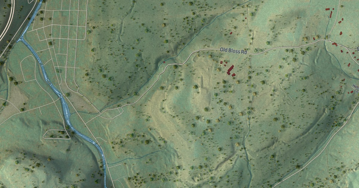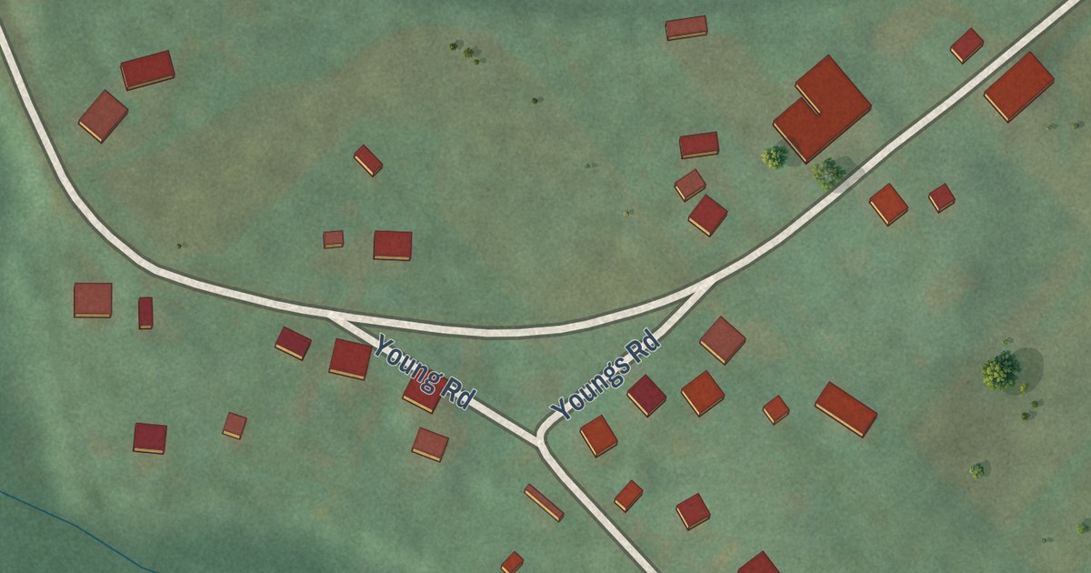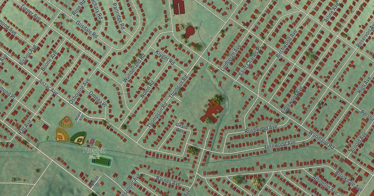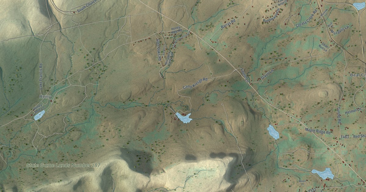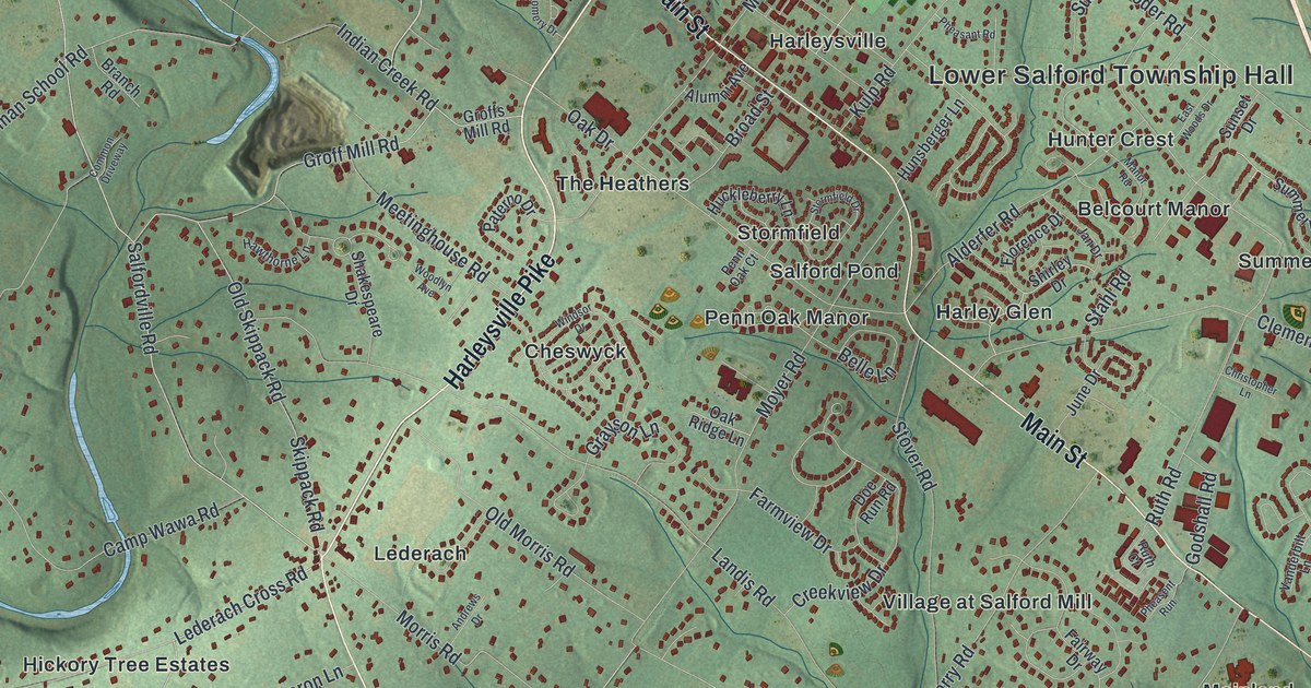
This beautifully detailed map of Lower Salford, Pennsylvania was created in 2026 using aerial imagery combined with modern topographical, census, street and landmark data. It’s a one-of-a-kind view of Lower Salford that combines accurate data with a vintage aesthetic. The map shows every building in its true location, many of the roads carry their names, and the shaded topographic relief shows the shape of the land.
Explore an aerial view of Lower Salford, Pennsylvania
On the map you’ll find Lower Salford Township Hall, Apple Tree Estates, Belcourt Manor, Bellingham Knoll, Cheswyck, Fair Hills, Harley Glen, Harleysville, Hickory Tree Estates, Hunter Crest, Indian Crest Farms, Lederach, and more. If you look closely you can even find your house accurately drawn in its correct location. Zoom in on the preview to look for yours.
Did you know this piece of Lower Salford, Pennsylvania history?
From Lower Salford Township: "One of the most dramatic events to affect the residents of Lower Salford Township occurred in the 1850's when the Commonwealth of Pennsylvania revised the public school system and required all teaching to be done in English. Until this time, local residents and churches built their own one-room schoolhouses and hired Pennsylvania Dutch speaking teachers."
Take a closer look at the Lower Salford map
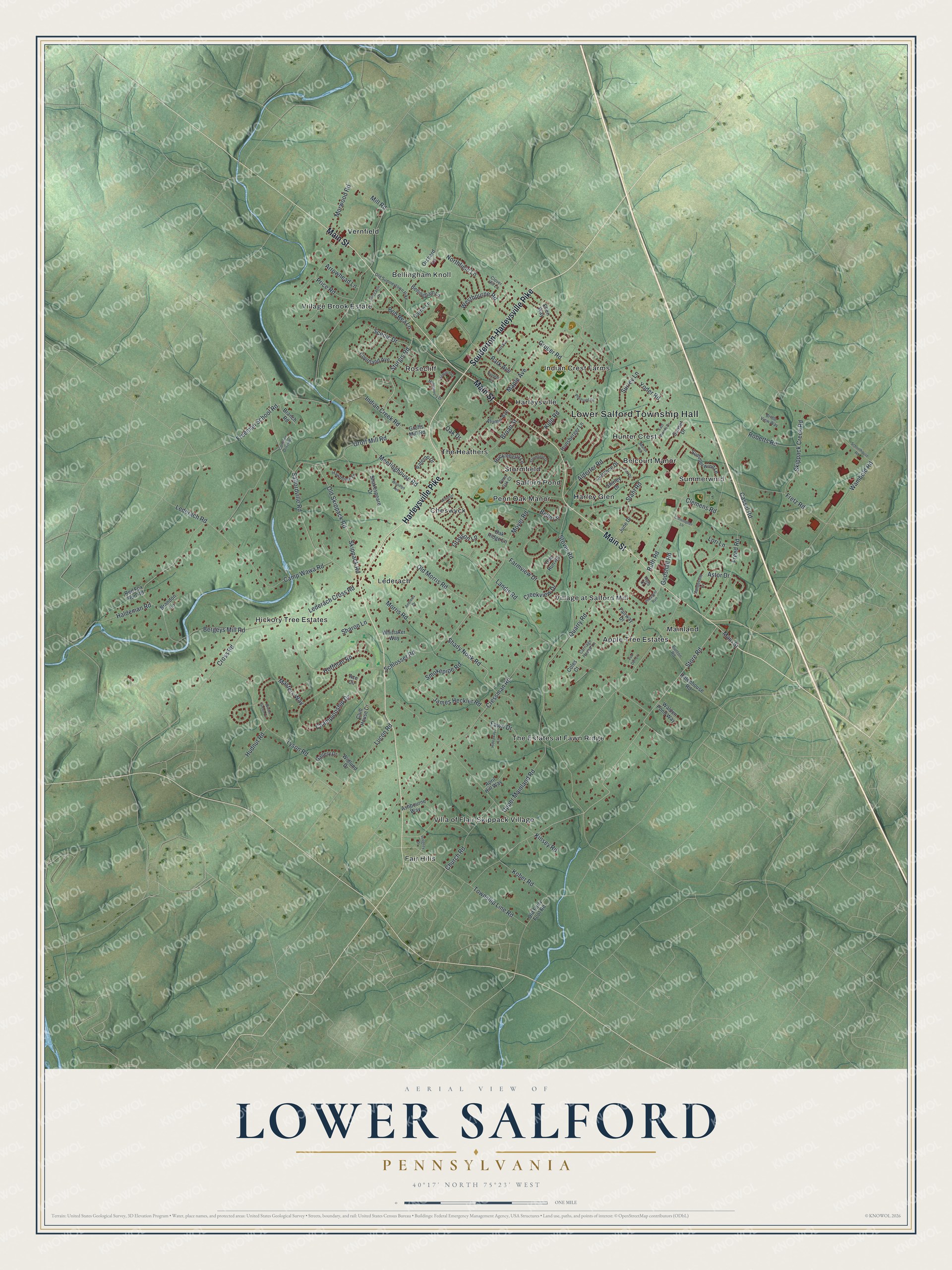
Street and place names on the Lower Salford, Pennsylvania map
These names are printed on the map of Lower Salford, Pennsylvania.
Places: Lower Salford Township Hall, Apple Tree Estates, Belcourt Manor, Bellingham Knoll, Cheswyck, Fair Hills, Harley Glen, Harleysville, Hickory Tree Estates, Hunter Crest, Indian Crest Farms, Lederach, Mainland, Penn Oak Manor, Rosecliff, Salford Pond, Stormfield, Summerwind, The Estates at Fawn Ridge, The Heathers, Vernfield, Villa of Flair Skippack Village, Village Brook Estate and Village at Salford Mill.
Streets and roads: Main Street, Souderton-Harleysville Pike, Harleysville Pike, Store Road, Salfordville Road, Lederach Cross Road, Groff Mill Road, Sturgis Road, Hoffman Road, Shady Nook Road, Morris Road, Yoder Road.
More street names, A to Z
Ace Circle, Alderfer Road, Alumni Avenue, Andrews Drive, April Hill Way, Arrowhead Lane, Ashbourne Way, Astor Drive, Belle Lane, Bellingham Lane, Bergeys Mill Road, Bob Bea Lane, Branch Road, Brandon Lane, Bridle View Way, Broad Street, Bunton Road, Camp Wawa Road, Carriage House Lane, Carrie Lane, Cassel Road, Championship Drive, Christopher Lane, Church Road, Clemens Road, Clover Hill Lane, Club House Drive, Coles Court, Common Driveway, Courtland Avenue, Creekview Drive, Cressman Road, Cross Road, Doe Run Road, East Woods Drive, Ellen Way, Fairway Drive, Farmview Drive, Fawn Drive, First Avenue, Florence Drive, Fox Den Lane, Freed Road, Freeman School Road, Fretz Road, Gallery Drive, Godshall Road, Grayson Lane, Groffs Mill Road, Gruber Road, Haldeman Road, Hamilton Drive, Hawthorne Lane, Hideaway Lane, Huckleberry Lane, Hudnut Road, Hunsberger Lane, Indian Creek Road, Integrity Drive, James Heckler Road, Jan Drive, June Drive, Kinsey Road, Kober Road, Kulp Road, Landis Road, Lederach Road, Lori Lane, Lucon Road, Manor Road, Maple Avenue, Masters Way, Meetinghouse Road, Mill Road, Moccasin Drive, Montgomery Drive, Morwood Road, Moyer Road, Northfield Lane, Oak Drive, Oak Ridge Lane, Old Forty Foot Road, Old Morris Road, Old Skippack Road, Old Sumneytown Pike, Orchard Lane, Park Avenue, Paterno Drive, Penn Oak Court, Pheasant Road, Pheasent Run, Pioneer Circle, Price Road, Quarry Road, Red Fox Run Road, Rittenhouse Road, Roberts Road, Ruth Court, Ruth Road, Scenic Drive, Schlosser Road, Schoolhouse Road, Shakespeare Drive, Sharon Lane, Shirley Drive, Skippack Creek Road, Skippack Road, Smokepipe Road, Stahl Road, Stormfield Drive, Stover Road, Summerwind Lane, Sunset Drive, Surrey Lane, Township Line Road, Tyson Road, Upper Mainland Road, Vanderbilt Lane, Walden Pond Way, Wambold Road, Westbourne Road, Whittaker Way, Widlund Drive, Windsor Drive, Winter Green Circle, Woodlyn Avenue.
See the Lower Salford, Pennsylvania map on a wall
The Lower Salford map as an 18 x 24 inch print in a black frame.

This beautifully detailed map of Lower Salford makes an attractive addition to your office, library, or den, and it can even be used to teach children the geography and history of the area. It also makes a great gift for someone who left Lower Salford and still calls it home. When you’re done exploring, click here to get your copy of the Lower Salford map.