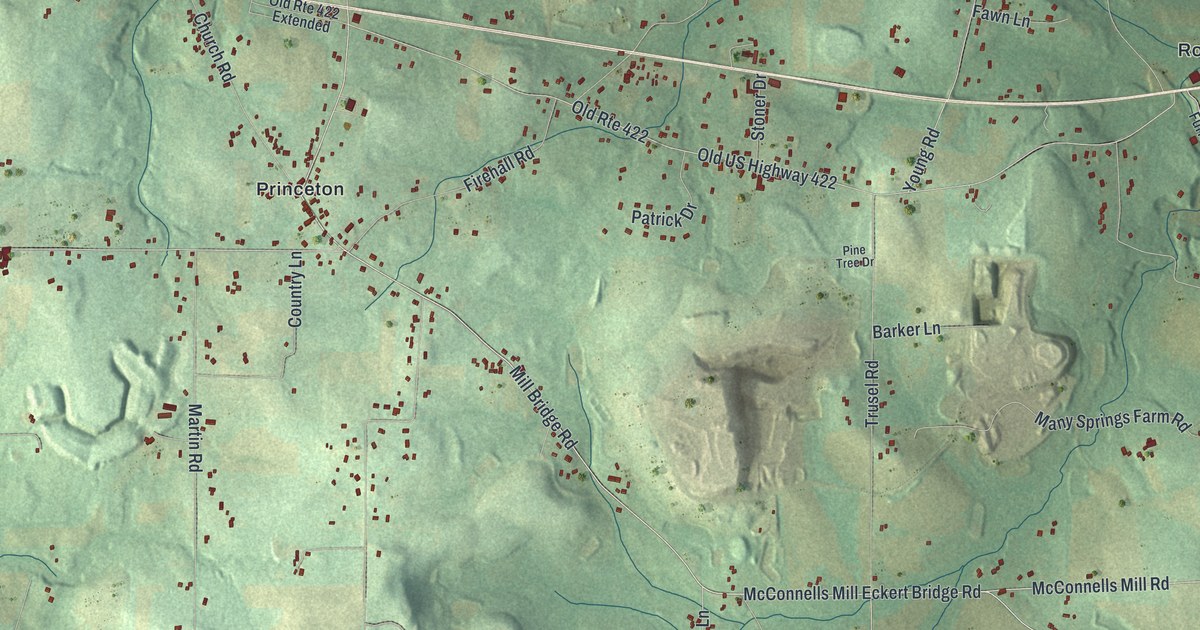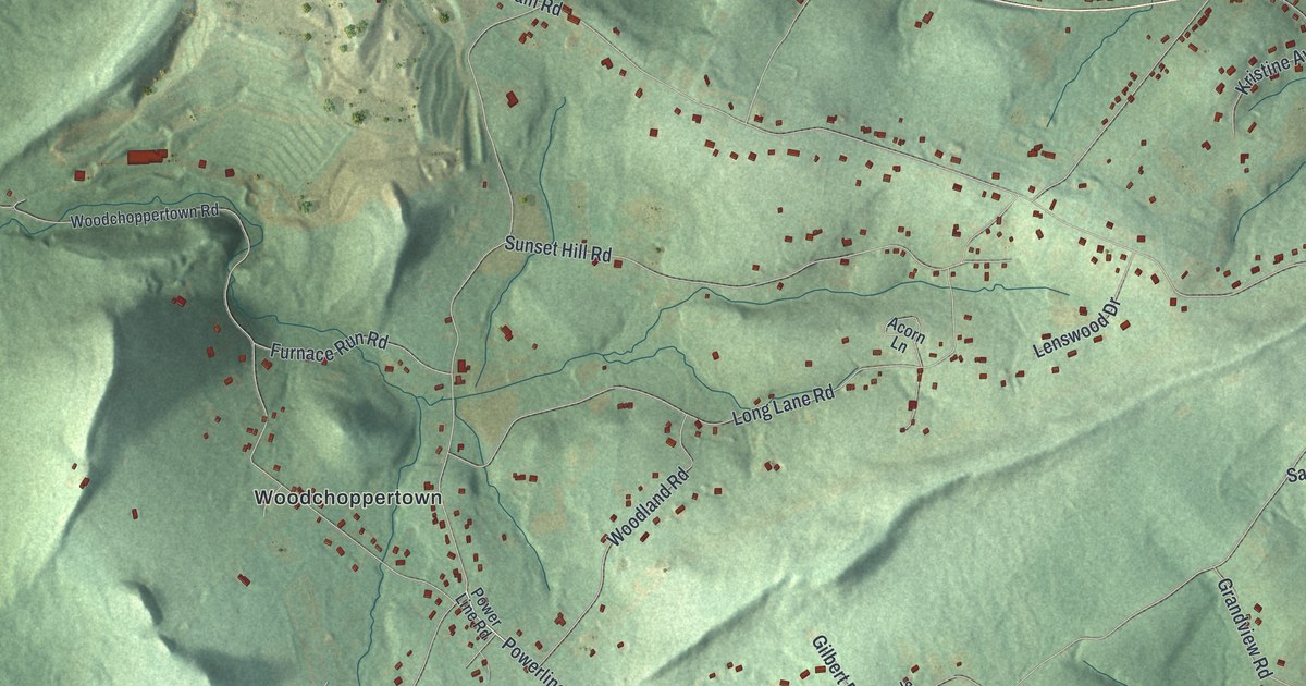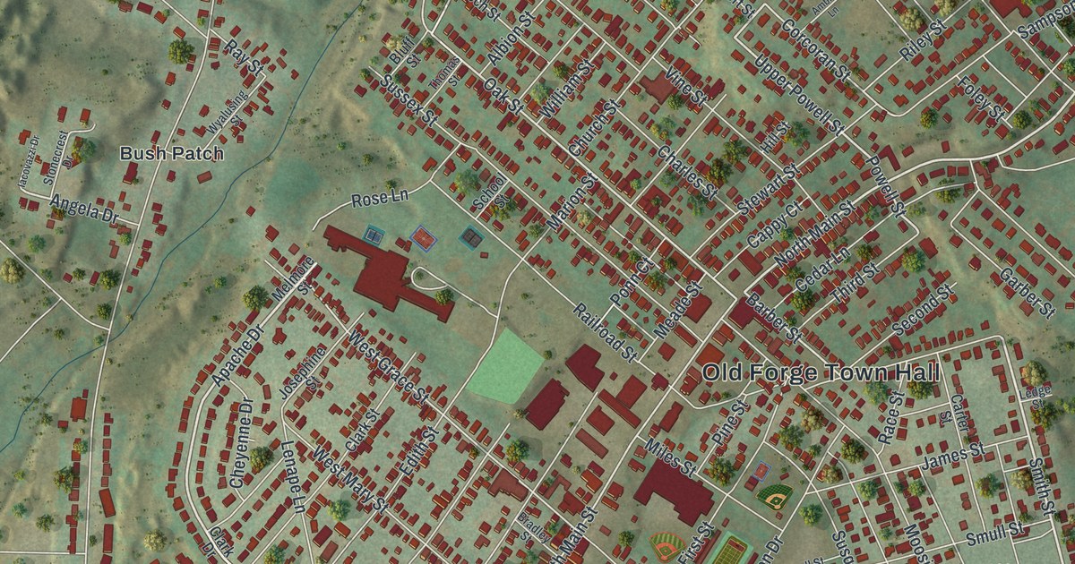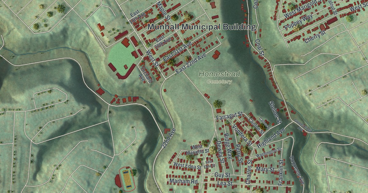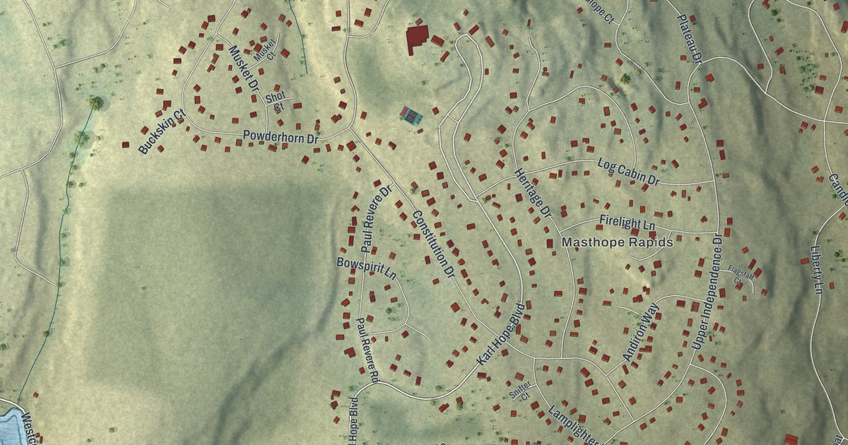
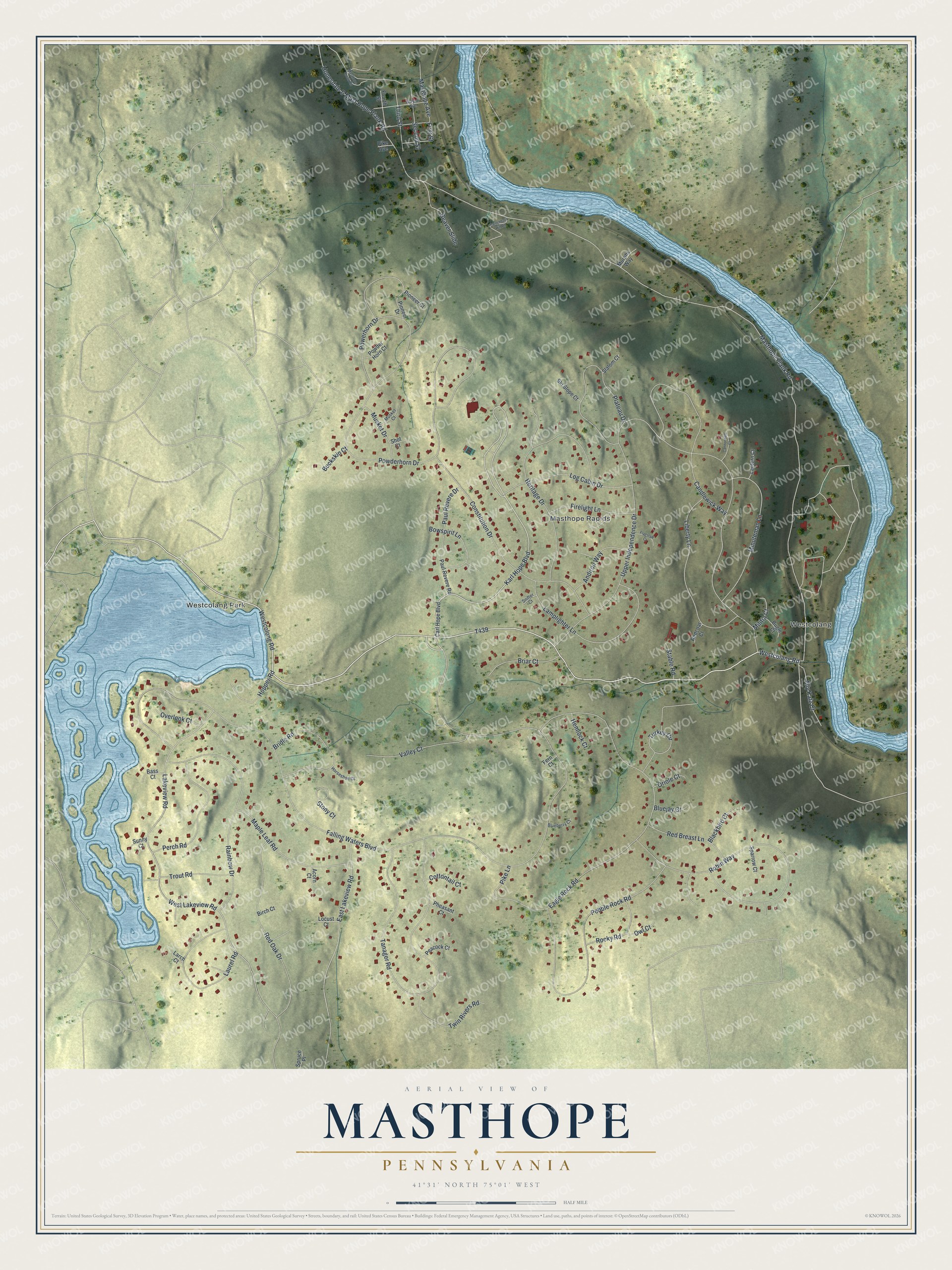
This beautifully detailed map of Masthope, Pennsylvania was created in 2026 using aerial imagery combined with modern topographical, census, street and landmark data. It's a modern aerial view of Masthope in Pike County, Pennsylvania, that combines modern data with a vintage aesthetic. The roads feature printed names, and if you look closely you can find your exact house accurately shown in its correct location.
Explore an aerial view of Masthope, Pennsylvania
On this map you'll find Westcolang Park, Westcolang, Masthope Rapids, T439, Westcolang Road, Westcolong Road, Falling Waters Boulevard, Karl Hope Boulevard, Heritage Drive, Masthope Plank Road, Lakeview Road, Upper Independence Drive, and more. Each red shape is a building, so zoom in on the preview and look for yours.
Masthope is a community in Pike County. The Census Bureau counted 681 people here in 2020. Masthope sits about 2 miles east of Fawn Lake Forest, 8 miles east of Hawley and 9 miles east of White Mills. The map prints the town name in its title panel, with the coordinates below it.
Take a closer look at the Masthope map
Names on this map
These names are printed on this map.
Places: Westcolang Park, Westcolang and Masthope Rapids.
Streets and roads: Westcolang Road, Westcolong Road, Falling Waters Boulevard, Karl Hope Boulevard, Heritage Drive, Masthope Plank Road, Lakeview Road, Upper Independence Drive, Eagle Rock Road, Powderhorn Drive, West Lakeview Road, Tanager Road.
More street names, A to Z
Acorn Court, Ally Katz Court, Andiron Way, Bass Court, Beaver Slide, Birch Court, Blackbird Court, Blueberry Court, Bluejay Court, Bowspirit Lane, Briar Court, Bridle Road, Buckskin Court, Bugle Court, Candlewick Way, Cannonball Court, Carl Hope Boulevard, Constitution Drive, Cottontail Court, East Lakeview Road, Fern Court, Firelight Lane, First Street, Flagstaff Court, Fourth Street, Hemlock Court, Honesdale & Mast Hope Plank Road, Hopper Road, Horseshoe Court, Lamplighter Lane, Lantern Court, Larch Court, Laurel Road, Liberty Lane, Locust Court, Log Cabin Drive, Maple Leaf Road, Masthope Avenue, Masthope Brook Road, Militia Court, Minuteman Lane, Murphs Way, Musket Court, Musket Drive, Oriole Court, Overlook Court, Owl Court, Paul Revere Drive, Paul Revere Road, Peacock Court, Pebble Rock Road, Perch Road, Pheasant Court, Pike Avenue, Pike Lane, Pioneer Court, Pioneer Drive, Plateau Drive, Powder Horn Court, Powerhorn Drive, Rainbow Drive, Red Breast Lane, Redcoat Court, Red Oak Drive, Robin Way, Rocky Road, Second Street, Shot Court, Ski Slope Court, Slalom Court, Snifter Court, Sparrow Court, Spruce Place, Stable Road, Stony Court, Sunny Court, Switchback Hill Road, Third Street, Trout Road, Turkey Circle, Twin Rivers Road, Valley Court, Wayne Avenue.
See it on a wall
The Masthope map as a framed print. Swipe for more.


Created by KNOWOL in 2026. The buildings are small red shapes, the roads carry their printed names, and shaded relief shows the shape of the land. The title panel reads "AERIAL VIEW OF MASTHOPE, PENNSYLVANIA" with 41°31' NORTH 75°01' WEST.
Hang it in the hallway, the office or the cabin, or give it to someone who left Masthope and still calls it home. Open the preview and look for a street you know. See sizes and frames for the Masthope map.