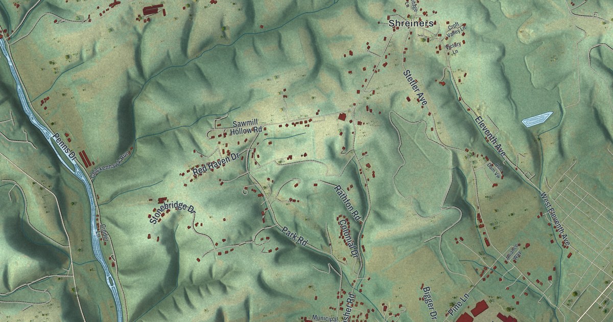
If you grew up in Hummels Wharf or Shreiners, or you drive North Susquehanna Trail every day, this map is your home ground. It's a modern aerial view of Monroe Township in Snyder County, Pennsylvania, built from public map data and finished with a vintage artistic feel. Shaded green hills and hollows fill most of the sheet. A wide blue river with long islands runs down the right side. Red building shapes gather thickest around Hummels Wharf, near the bottom, and thin out along the roads that climb into the hills.
Monroe and the Penns Creek Massacre of 1755
On this map you'll find North Susquehanna Trail, Hummels Wharf, Shreiners, Old Sunbury Road, Stetler Avenue, Park Road, Airport Road, Susquehanna Mall Drive, Marketplace Boulevard, Country Club Drive, Sawmill Hollow Road, Grangers Road, South Old Trail, Mill Road, and more. Each red shape is a building, so zoom in on the preview and look for yours.
Monroe's best-known story is a hard one. In October 1755, settlers along Penns Creek were attacked by a band of Native warriors. About 26 people were killed, wounded or carried off as captives. A state historical marker calls it the first attack in the province after General Braddock's defeat in the French and Indian War.
John Harris, the founder of Harrisburg, came up the river with 40 men to learn what had happened. On October 25, 1755, his party was ambushed too. It happened near the mouth of the creek, at the head of the Isle of Que. The John Harris Ambush plaque on South Old Trail marks the spot, about a third of a mile north of the mouth of the creek.
Today the markers that tell this story stand beside North Susquehanna Trail and South Old Trail. On the map, look near the bottom, where a winding creek comes out of the hills and meets the wide river. The Penns Creek Massacre marker says the attack came just west along the creek, and the Harris ambush was near the creek's mouth.
Hummels Wharf, Shreiners and the Hills Above
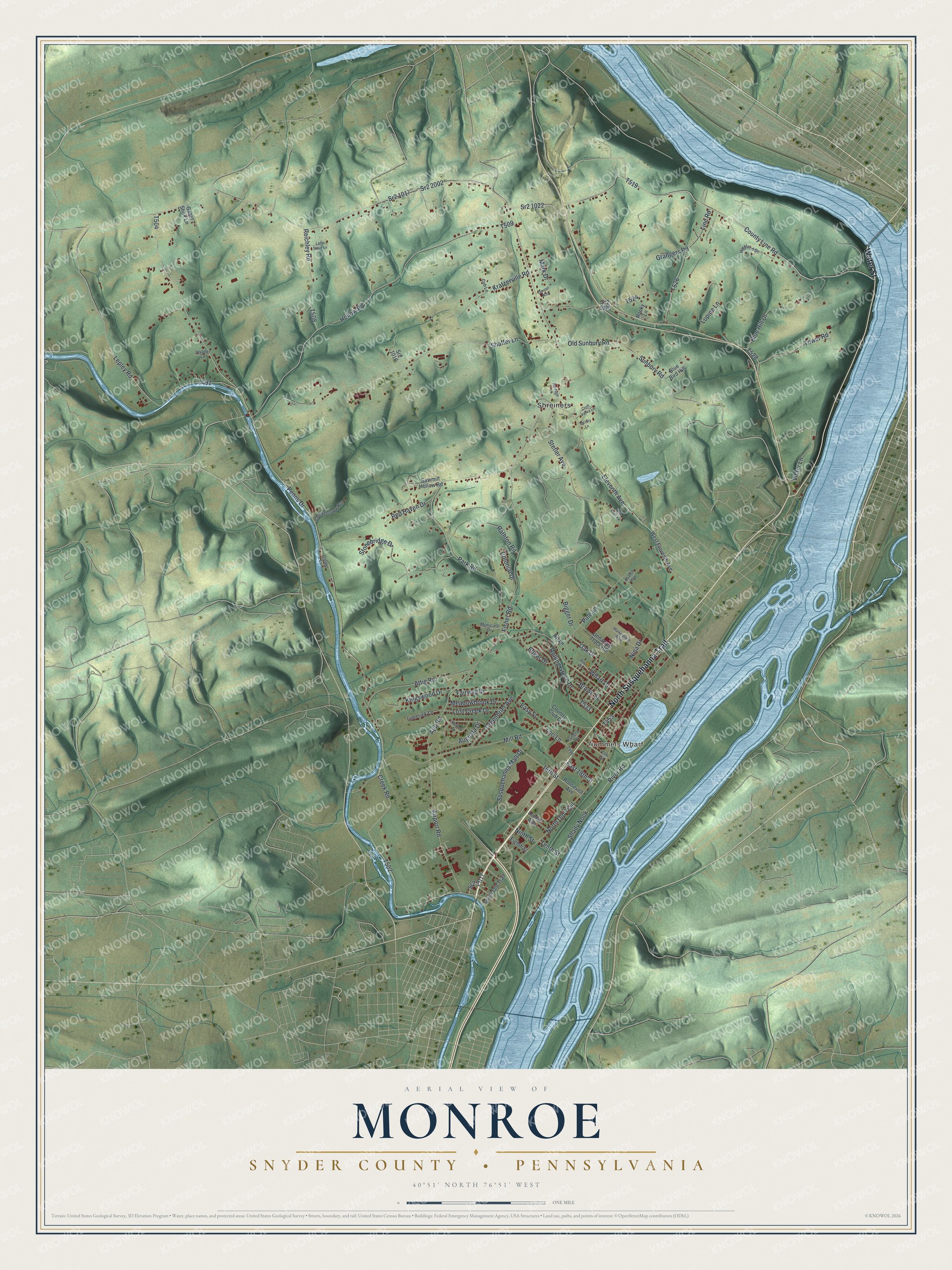
Created by KNOWOL in 2026, this print shows Monroe in soft greens, with shaded ridges, a pale blue river and small red buildings. The cream title panel at the bottom reads Aerial View of Monroe, Snyder County • Pennsylvania, with the coordinates 40°51' North 76°51' West.
It fits a living room, a hallway or a home office. It's a good gift for someone who grew up near Hummels Wharf and moved away, or for anyone who knows the Susquehanna River side of Snyder County by heart. Open the preview and find your own road. See sizes and frames for the Monroe, Snyder County map.