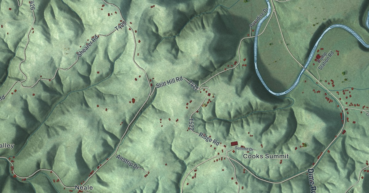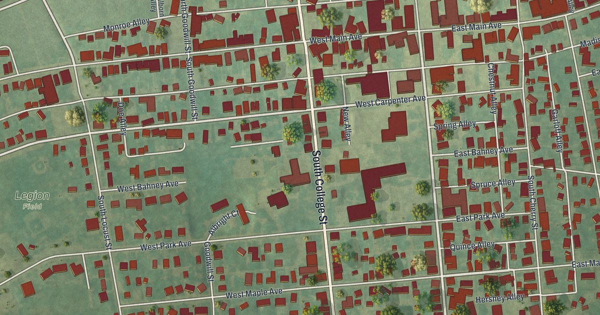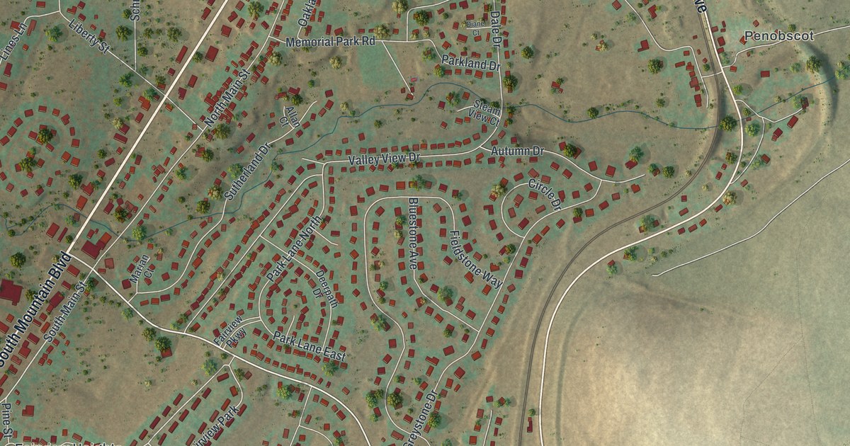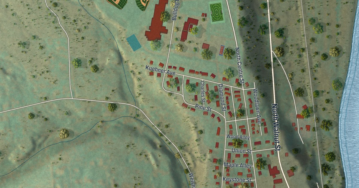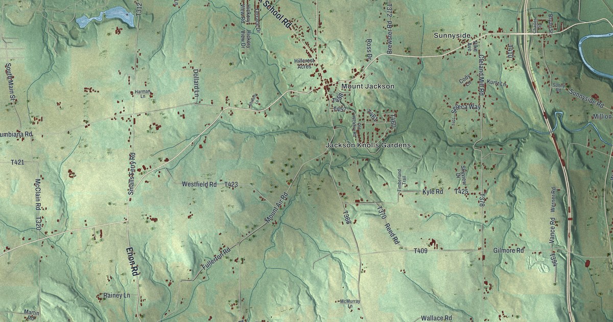
If you grew up around Mount Jackson or still drive Mohawk School Road, this map shows your home. It's a modern aerial view of North Beaver Township in Lawrence County, Pennsylvania, built from modern data and given a vintage look. Green hills fill the sheet, cut by small creeks and dotted with red buildings. A winding blue river runs down the right side past Willow Grove and Moravia.
Mount Jackson, Moravia and the Roads Between
On this map you'll find Mount Jackson, Jackson Knolls Gardens, Moravia, Willow Grove, Sunnyside, Coverts, Derringer Corners, Mount Jackson Road, Mohawk School Road, East Poland Avenue, West Poland Avenue, Edinburg Road, Enon Road, Galilee Road, McClelland Road, and more. Each red shape is a building, so zoom in on the preview and look for yours.
Friedensstadt, the City of Peace near Moravia
North of Moravia stand markers for a village called Friedensstadt. Its other name was Languntoutenunk. A stone there calls it the city of Peace. Christian Delaware Indians founded it in 1770. The Rev. David Zeisberger brought them here from the upper Allegheny. They first settled on the eastern river bank on May 3. About three months later, they moved to the west side. In April 1773, they left with the Rev. John Heckewelder for new towns on the Muskingum in Ohio. There, in 1782, some of them were killed by Pennsylvania militia. The story is on two Pennsylvania state historical markers, and the second one tells how it ended. On the map, look near Moravia in the bottom right, beside the blue river.
Mount Jackson and Moravia in 1877
An 1877 History of Lawrence County calls North Beaver the largest township in the county. It was also one of the first. The book says fine fruit grew here, and the crop was nearly always sure. It names Mount Jackson as the most important village. Moravia grew up as a small village around the railroad station. Today Mount Jackson sits near the center of the map, with Jackson Knolls Gardens just below it.
Keep Mount Jackson and Moravia Close

Created by KNOWOL in 2026, the print shows North Beaver's rolling hills in soft shaded green, with red buildings, blue ponds and the winding river on the right. The title panel reads "Aerial View of North Beaver, Pennsylvania" above 40°57' North 80°27' West.
It fits a living room, a den, a farmhouse kitchen or an office wall. It's a good gift for someone who grew up near Mount Jackson and moved away, or for anyone with family out along Enon Road. Open the preview and find your road. See sizes and frames for the North Beaver map.