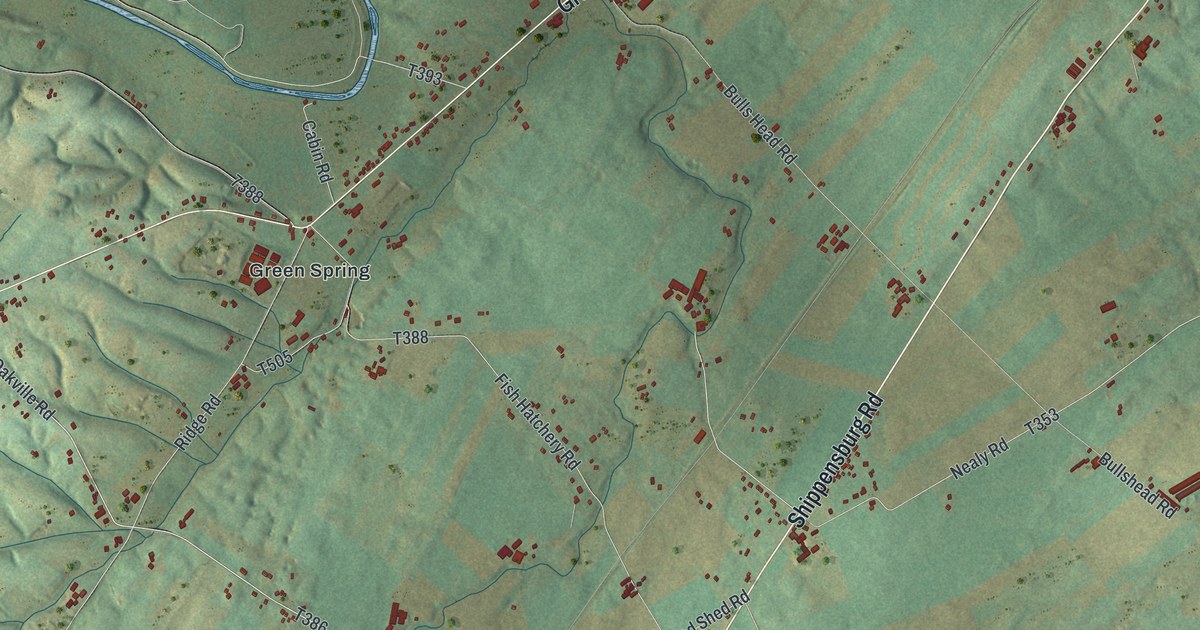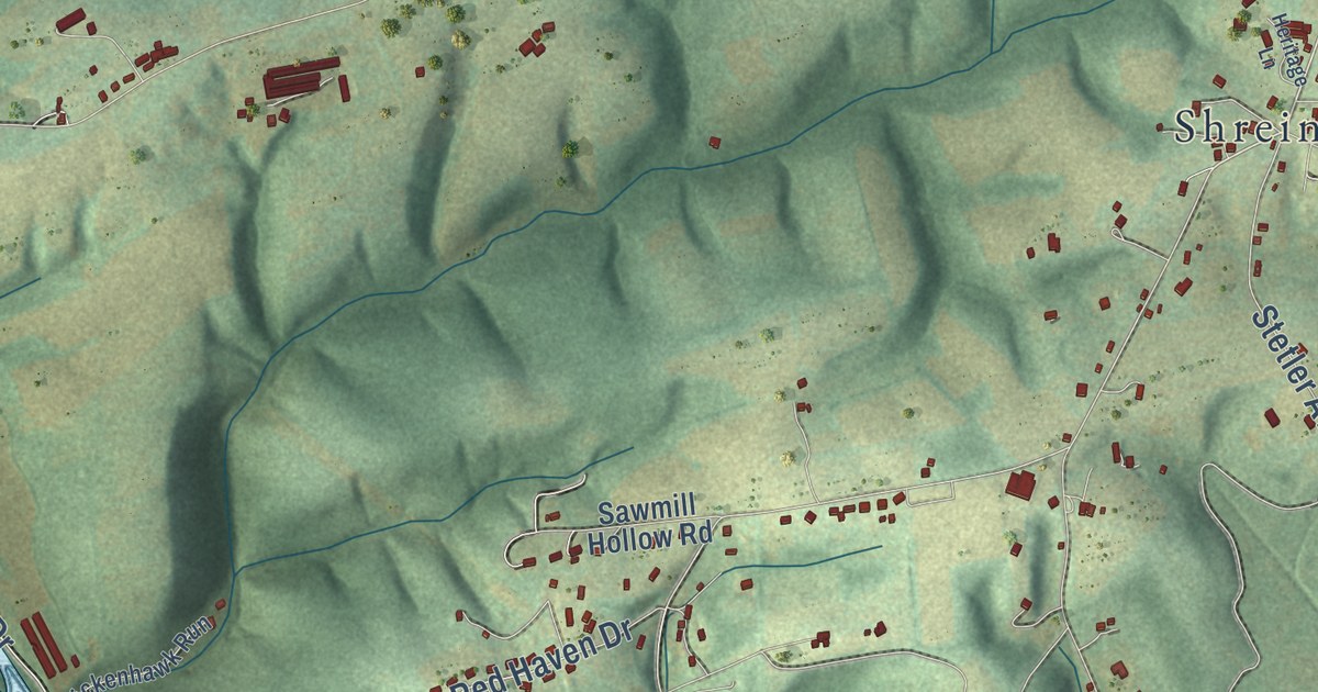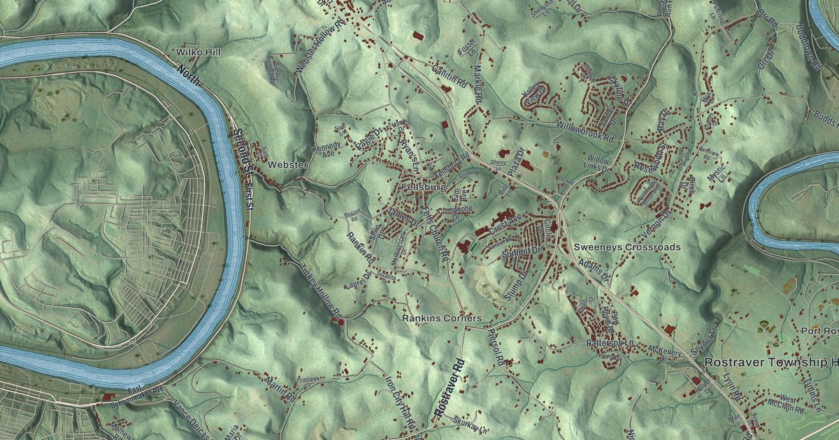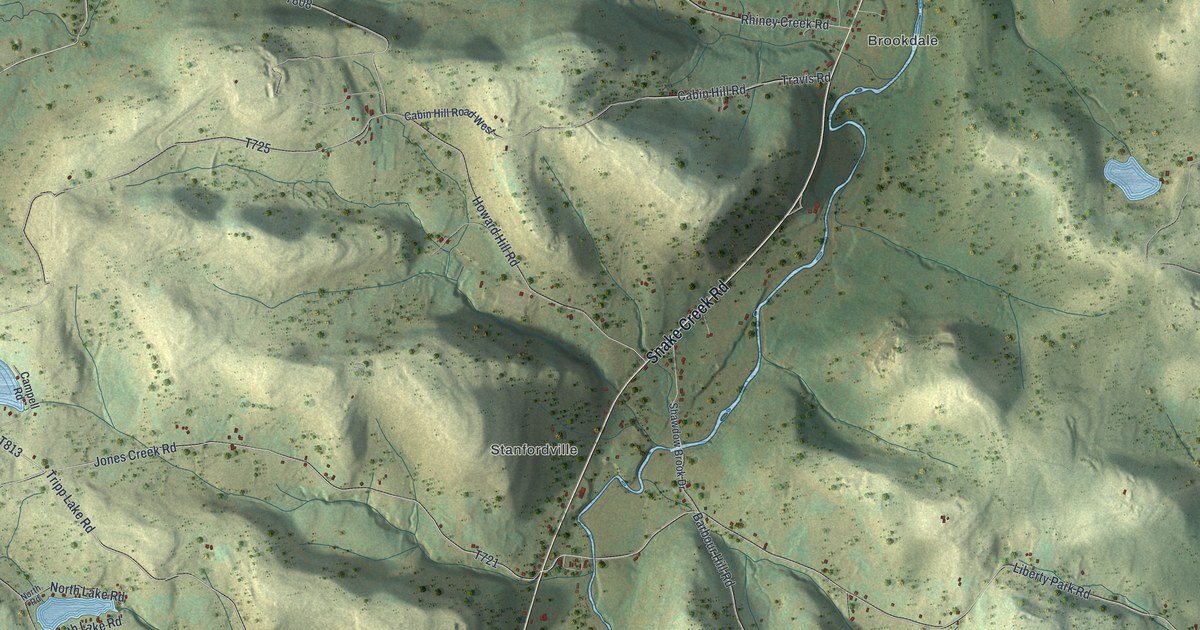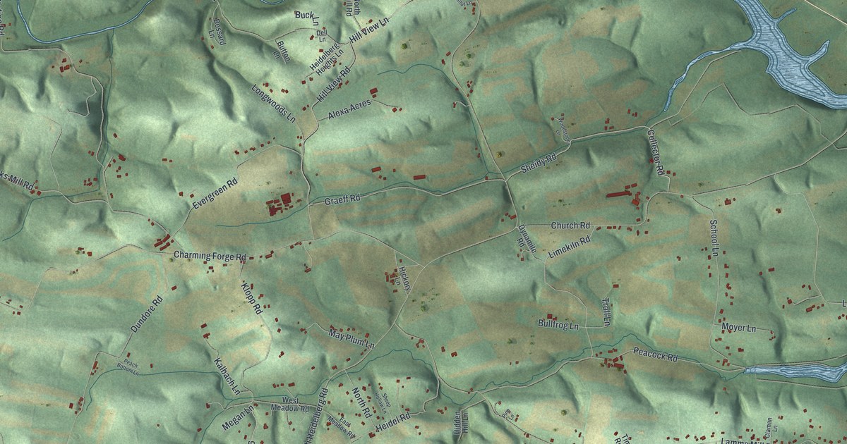
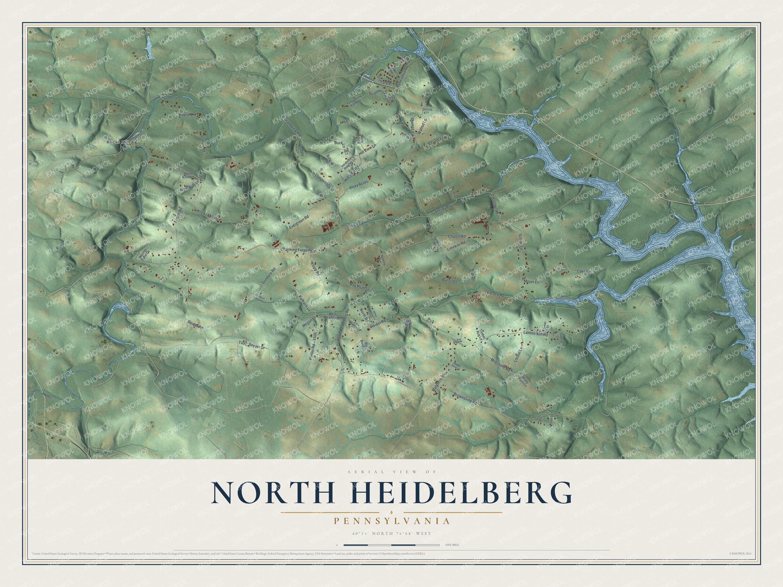
This beautifully detailed map of North Heidelberg, Pennsylvania was created in 2026 using aerial imagery combined with modern topographical, census, street and landmark data. It’s a one-of-a-kind view of North Heidelberg that combines accurate data with a vintage aesthetic. The map shows every building in its true location, many of the roads carry their names, and the shaded topographic relief shows the shape of the land.
Explore an aerial view of North Heidelberg, Pennsylvania
On the map you’ll find Kricks Mill, along with Sheidy Road, North Heidelberg Road, Charming Forge Road, Brownsville Road, Milestone Road, Kricks Mill Road, Station Road, Church Road, Peacock Road, Hill View Lane, Hill View Road, and more. If you look closely you can even find your house accurately drawn in its correct location. Zoom in on the preview to look for yours.
Did you know this piece of North Heidelberg, Pennsylvania history?
The first settlers in North Heidelberg were German Palatines of the Reformed and Lutheran faiths. Queen Anne had sent them to New York in 1710. They moved on to the Tulpehocken region with the two Weisers in 1723 and 1729. That’s from the 1900 Pennsylvania-German magazine.
Take a closer look at the North Heidelberg map
Street and place names on the North Heidelberg, Pennsylvania map
These names are printed on the map of North Heidelberg, Pennsylvania.
Places: Kricks Mill.
Streets and roads: Sheidy Road, North Heidelberg Road, Charming Forge Road, Brownsville Road, Milestone Road, Kricks Mill Road, Station Road, Church Road, Peacock Road, Hill View Lane, Hill View Road, Dundore Road.
More street names, A to Z
Alexa Acres, Big Bend Lane, Bossard Lane, Buck Lane, Bullfrog Lane, Button Lane, Chalet Drive, Chestnut Lane, Chicory Lane, Christmas Village Road, Claman Lane, Collector Road, Dell Lane, Dynamite Road, East Meadow Road, Evergreen Road, Forest Road, Golf Circle, Graeff Road, Grandview Road, Grey Wolf Lane, Heart Knoll Lane, Heidelberg Farms Lane, Heidelberg Heights Lane, Heidel Road, Hickory Lane, Hidden Hill Lane, Hill, Kalbach Lane, Kline Lane, Klopp Road, Krickelwood Lane, Lake Road, Lamms Mill Road, Limekiln Road, Locust Lane, Longwoods Lane, Manbeck Road, May Plum Lane, Megan Lane, Moyer Lane, North Hill Road, North Road, Orchard Place, Peach Bottom Lane, Pieller Road, Pine Lane, Poplar Lane, Reider Road, Ridge View Lane, Robesdnia Road, School Lane, Shady Point Lane, Sheep Hollow Lane, Snyder Drive, Stump Lane, Timber Run Lane, Troll Lane, Trophy Lane, Tullygarron Farm Lane, Turtle Lane, Walnut Lane, Wenner Farm Lane, West Meadow Road, Woodstone Lane.
See the North Heidelberg, Pennsylvania map on a wall
The North Heidelberg map as an 18 x 24 inch print in a black frame.

This beautifully detailed map of North Heidelberg makes an attractive addition to your office, library, or den, and it can even be used to teach children the geography and history of the area. It also makes a great gift for anyone who grew up in North Heidelberg or moved away. When you’re done exploring, click here to get your copy of the North Heidelberg map.