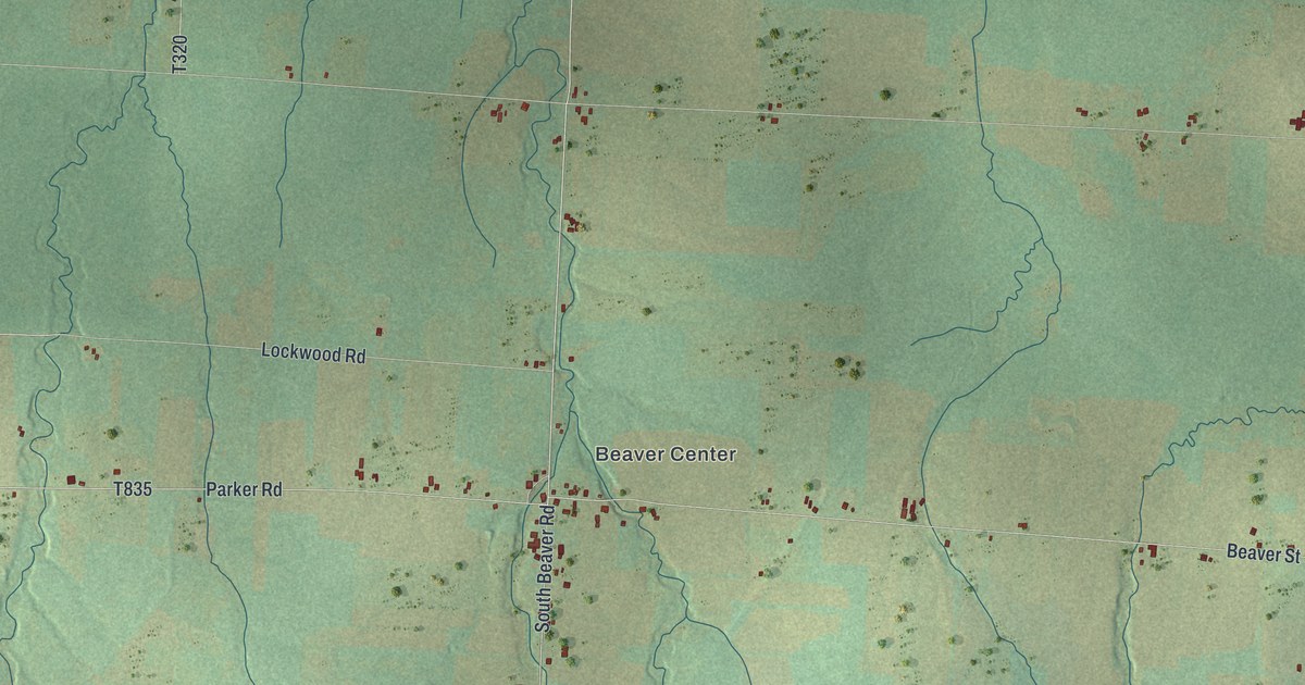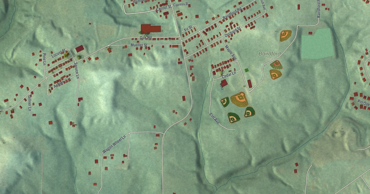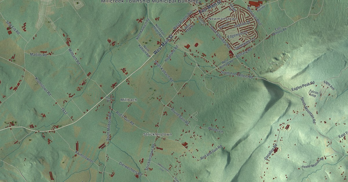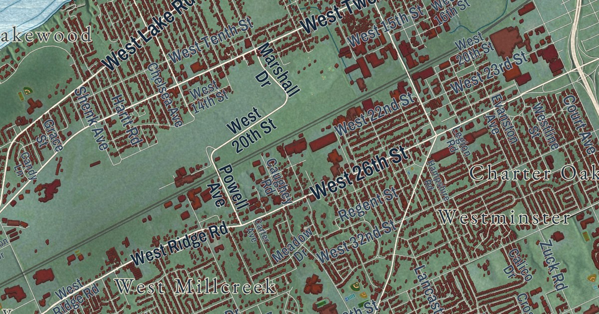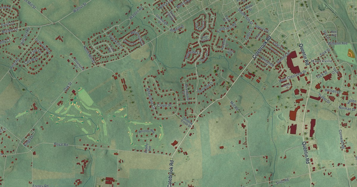
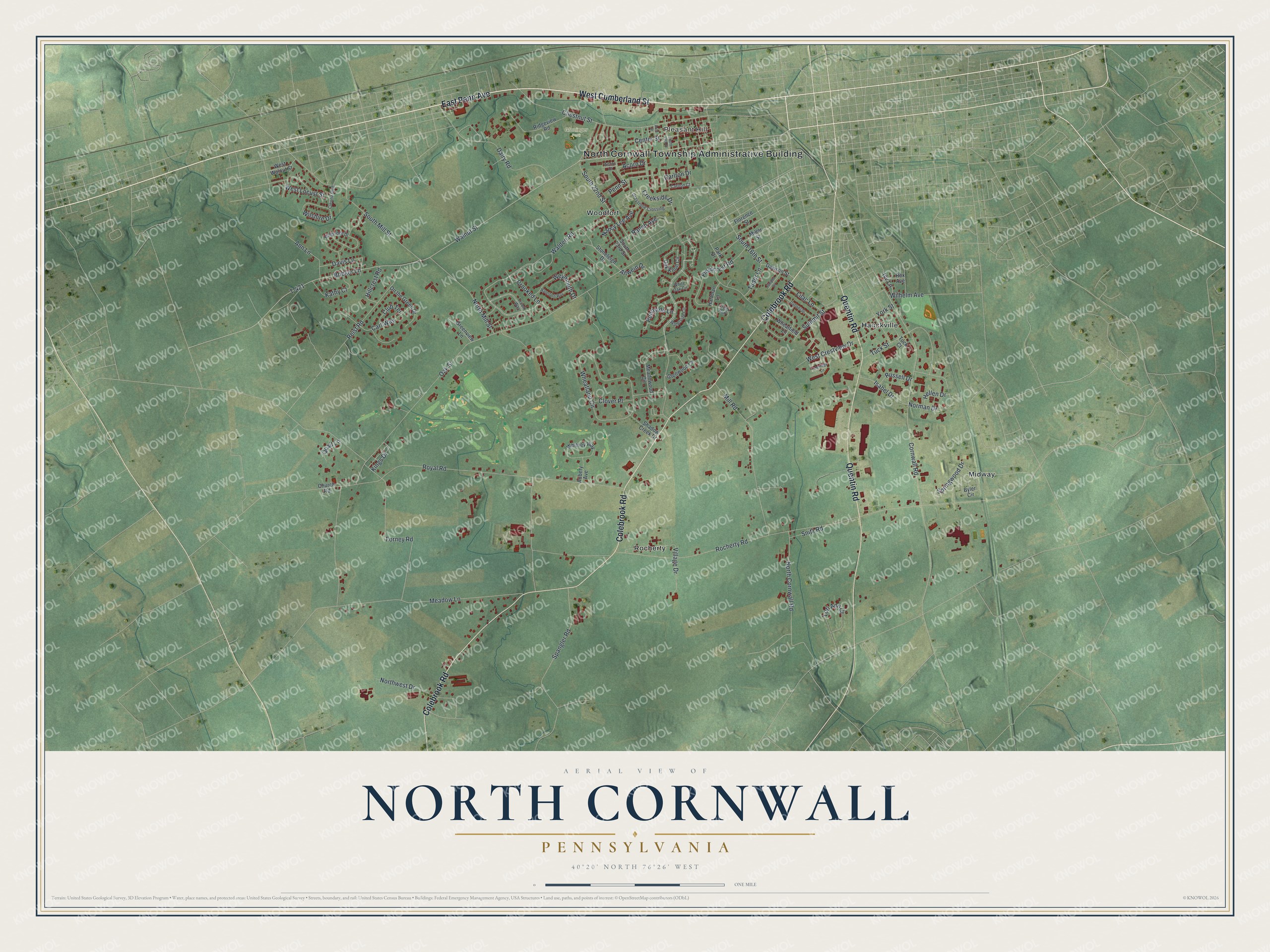
This beautifully detailed map of North Cornwall, Pennsylvania was created in 2026 using aerial imagery combined with modern topographical, census, street and landmark data. It’s a one-of-a-kind view of North Cornwall that combines accurate data with a vintage aesthetic. The map shows every building in its true location, many of the roads carry their names, and the shaded topographic relief shows the shape of the land.
Explore an aerial view of North Cornwall, Pennsylvania
On the map you’ll find North Cornwall Township Administrative Building, Pleasant Hill, Gloninger Park, Hauckville, Midway, Rocherty, and Woodfort, along with West Cumberland Street, East Penn Avenue, Colebrook Road, Quentin Road, Creekside Drive, and more. If you look closely you can even find your house accurately drawn in its correct location. Zoom in on the preview to look for yours.
Did you know this about North Cornwall, Pennsylvania?
From Data.pa.gov: "One of the world's greatest iron mines, the oldest operated continuously in the New World."
Take a closer look at the North Cornwall map
Street and place names on the North Cornwall, Pennsylvania map
These names are printed on the map of North Cornwall, Pennsylvania.
Places: North Cornwall Township Administrative Building, Pleasant Hill, Gloninger Park, Hauckville, Midway, Rocherty and Woodfort.
Streets and roads: West Cumberland Street, East Penn Avenue, Colebrook Road, Quentin Road, Creekside Drive, Walnut Street, Walden Road, Cornwall Road, Dairy Road, Oak Street, Rocherty Road, Royal Road.
More street names, A to Z
Acorn Court, Acorn Drive, Allwein Drive, Ann Lane, Arch Street, Aubery Avenue, Bricker Lane, Byler Circle, Carlton Court, Carlton Drive, Cart Way, Center Street, Chestnut Street, Church Road, Cleona Boulevard, Clover Place, Club Terrace, Creek Run, Crooked Lane, Daffodil Drive, Davis Lane, Dawson Street, Fieldcrest Road, Florence Street, Forney Road, Glenwood Lane, Greenview Lane, Greystone Crossing, Hartman Lane, Hellen Drive, Heritage Lane, Hillcrest Road, Isabel Drive, Ivy Lane, Juniper Street, Kathy Court, Kings Drive, Lilac Lane, Lori Ann Court, Meadow Lane, Meadowood Circle, Millbridge Drive, Miller Street, Mill Road, Nancy Lee Avenue, Norman Drive, North Cornwall Road, North Mill Street, Northwest Drive, Oak Knoll Circle, On the Green Drive, Park Drive, Penn Street, Pondside Lane, Quail Lane, Ranch Avenue, Reist Road, Rex Avenue, Ridgeview Road, Russell Drive, Shadow Creek Drive, Snitz Road, South 16th Street, South 19th Street, South 22nd Street, South 23rd Street, South Mill Street, Spangler Road, Springwood Drive, Stoneleigh Drive, Summit Street, T-421, Troon Way, Tuck Court, Tuck Street, Tudor Lane, Village Drive, Waterford Way, Waterside Circle, West Crestview Drive, West Locust Street, West Walnut Street, Weymouth Drive, Wheatfield Lane, Wheatland Circle, White Oak Circle, Whitney Way, Wilhelm Avenue, Wilshire Drive, York Street.
See the North Cornwall, Pennsylvania map on a wall
The North Cornwall map as an 18 x 24 inch print in a black frame.

This beautifully detailed map of North Cornwall makes an attractive addition to your office, library, or den, and it can even be used to teach children the geography and history of the area. It also makes a great gift for anyone who grew up in North Cornwall or moved away. When you’re done exploring, click here to get your copy of the North Cornwall map.