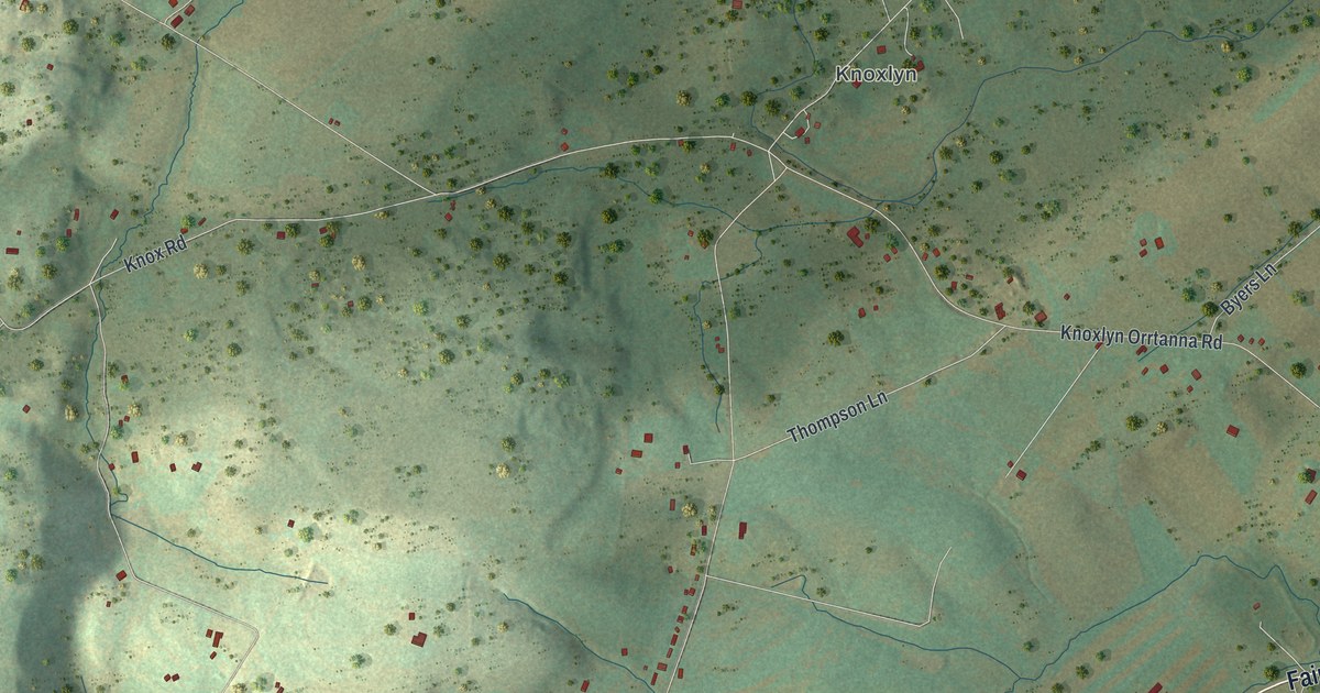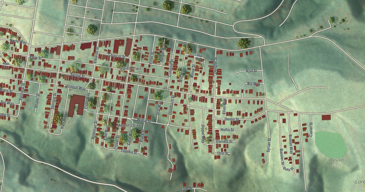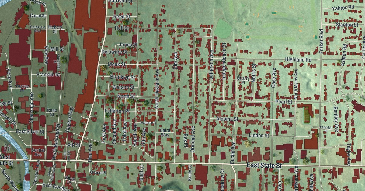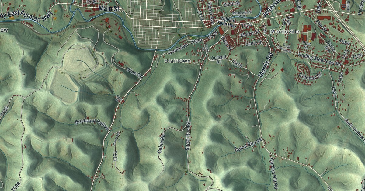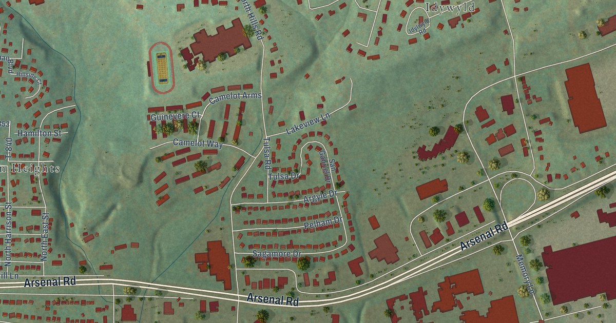
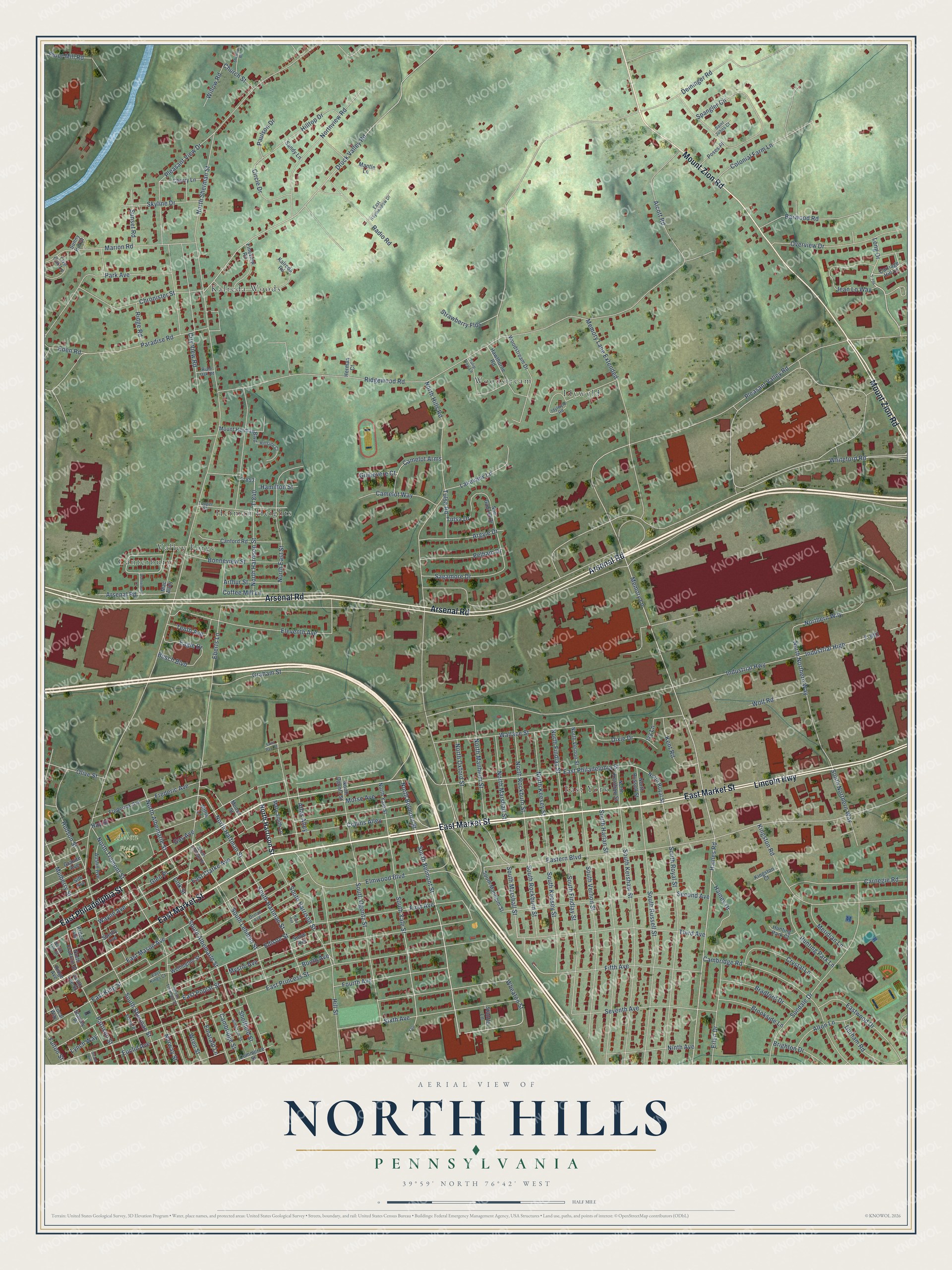
This beautifully detailed map of North Hills, Pennsylvania was created in 2026 using aerial imagery combined with modern topographical, census, street and landmark data. It’s a one-of-a-kind view of North Hills that combines accurate data with a vintage aesthetic. The map shows every building in its true location, many of the roads carry their names, and the shaded topographic relief shows the shape of the land.
Explore an aerial view of North Hills, Pennsylvania
On the map you’ll find Allen Field, Kalreda Woods, East York, Canterbury, Idywyld, Herman Heights, Woodstream, and Valley Forge, along with East Market Street, Arsenal Road, Mount Zion Road, Lincoln Highway, and more. If you look closely you can even find your house accurately drawn in its correct location. Zoom in on the preview to look for yours.
Take a closer look at the North Hills map
Names on this map
These names are printed on this map.
Places: Allen Field, Kalreda Woods, East York, Canterbury, Idywyld, Herman Heights, Woodstream and Valley Forge.
Streets and roads: East Market Street, Arsenal Road, Mount Zion Road, Lincoln Highway, East Philadelphia Street, North Belmont Street, Long Drive, South Belmont Street, Seventh Avenue, South Harrison Street, Eastern Boulevard, Memory Lane Extended.
More street names, A to Z
Alcott Road, Alton Lane, Arden Avenue, Argyle Drive, Arthur Street, Atlas Alley, Austin Avenue, Barwood Road, Bonneview Street, Booth Avenue, Bradford Drive, Brighton Drive, Brookside Lane, Busch Boulevard, Cambridge Road, Cambridge Street, Camelot Arms, Camelot Way, Canford Road, Canterbury Lane, Carnegie Road, Carriage Hill Lane, Cherry Lane, Chronister Street, Church Street, Circle Drive, City View Road, Coffee Mill Lane, Collins Alley, Colonial Farm Lane, Commerce Street, Crystal Lane, Deininger Road, Dixie Drive, Druck Valley Road, Durham Road, Eagle Drive, East Clarke Avenue, East Haymeadow Drive, East Kings Court, East King Street, East Mason Avenue, East Poplar Street, East Princess Street, Eastwood Drive, Eberts Lane, Eden Road, Edison Street, Elaine Place, Eleventh Avenue, Elmwood Boulevard, Emarald Lane, Erlen Drive, Euclid Avenue, Fifth Avenue, Fineview Road, First Avenue, Flour Mill Road, Fourth Avenue, Frederic Avenue, Frederick Avenue, Fulton Street, Gas Avenue, Girard Avenue, Glen Place, Graham Street, Granite Avenue, Guinevere Court, Haines Drive, Haines Road, Hamilton Street, Hawthorne Road, Hay Street, Herman Court, Hillside Court, Hill Street, Hilltop Drive, Hudson Street, Hunting Park Court, Hunting Park Lane, Idylwyld Road, Industrial High, Industrial Highway, Ivy Lane, Jean Lo Way, Kalreda Road, Karn Avenue, Kent Road, Kingston Court, Kingston Road, Lakeview Lane, Link Street, Live Oak Lane, Local Way, Lynch Way, Mac Alley, Mantle Lane, Marion Road, Mary Smith Lane, Memory Lane, Meridian Lane, Millis Lane, Moose Street, Morse Avenue, Mount Herman Boulevard, Mulberry Street, Mystic Avenue, Ninth Avenue, North Albemarle Street, North East Street, Northern Way, North Findlay Street, North Franklin Street, North Harrison Street, North Hartman Street, North Hills Road, North Keesey Street, North Kershaw Street, North Lee Street, North Lehman Street, North Manheim Street, North Marshall Street, North Northern Way, North Ogontz Street, North Oxford Street, North Rockburn Street, North Royal Street, North Russell Street, North Sherman Street, North Tremont Street, North Vernon Street, Northview Road, North Yale Street, Norway Street, Olive Street, Orman Avenue, Overview Drive, Paradise Road, Park Avenue, Pattison Street, Paulson Drive, Pelham Drive, Pleasant Valley Road, Pleasant View Drive, Poses Place, Radio Road, Riale Oak Road, Ridge Avenue, Ridge Road, Ridgewood Road, Sagamore Drive, Saint Johns Court, Saint Paul Street, Sandy Lane, San Gabriel Drive, Second Avenue, Sheffield Street, Shelby Avenue, Sheridan Road, Silk Avenue, Simpson Street, Sixth Avenue, Skyline Drive, Snow Avenue, South Albemarle Street, South Findlay Street, South Harlan Street, South Hartman Street, South Keesey Street, South Kershaw Street, South Lee Street, South Lehman Street, South Manheim Street, South Marshall Street, South Northern Way, South Ogontz Street, South Rockburn Street, South Royal Street, South Russell Street, South Sherman Street, South Tremont Street, South Vernon Street, South Yale Street, Spangler Circle, Stanley Place, Stauffer Lane, Strawberry Flds, Sundale Drive, Sunny Hill Drive, Sunset Road, T-794, T-840, T-853, T-991, Tenth Avenue, Third Avenue, Topper Street, Tulip Tree Lane, Tulsa Drive, Tulsa Road, Wallace Street, Wayne Avenue, Wellington Street, Wheaton Street, Whiteford Road, Willow Road, Wolf Road, Woodstream Drive, Wren Street, Yale.
See it on a wall
The North Hills map as a framed print. Swipe for more.


This beautifully detailed map of North Hills makes an attractive addition to your office, library, or den, and it can even be used to teach children the geography and history of the area. It also makes a great gift for anyone with North Hills roots. When you’re done exploring, click here to get your copy of the North Hills map.