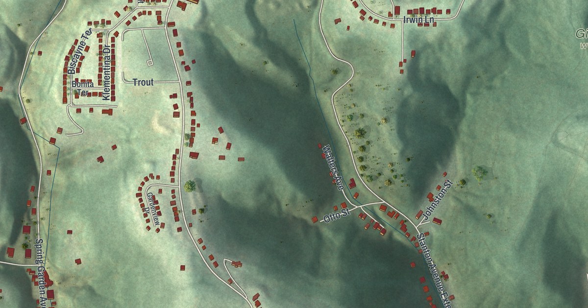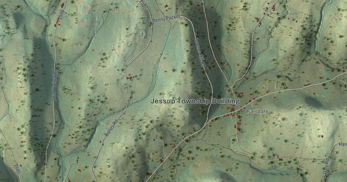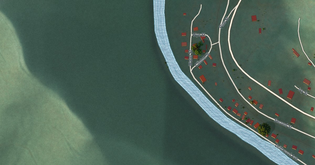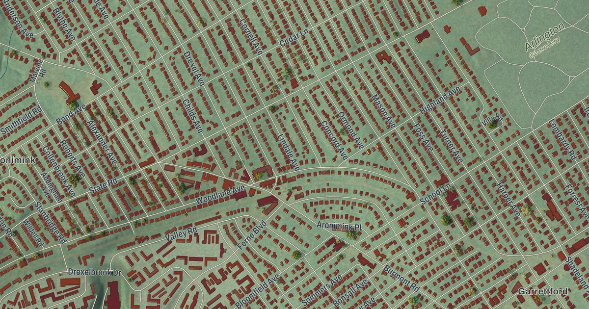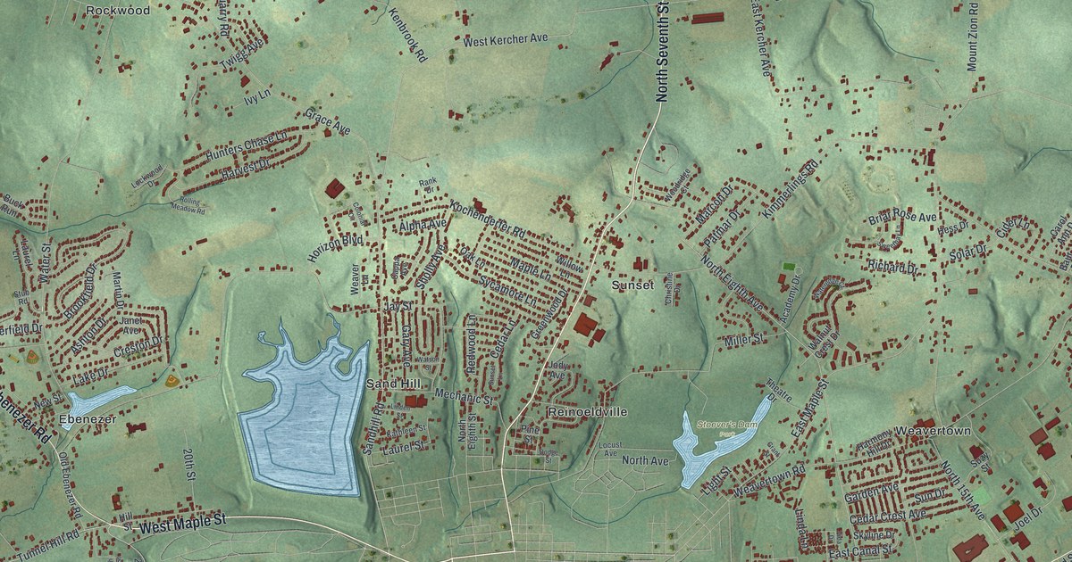
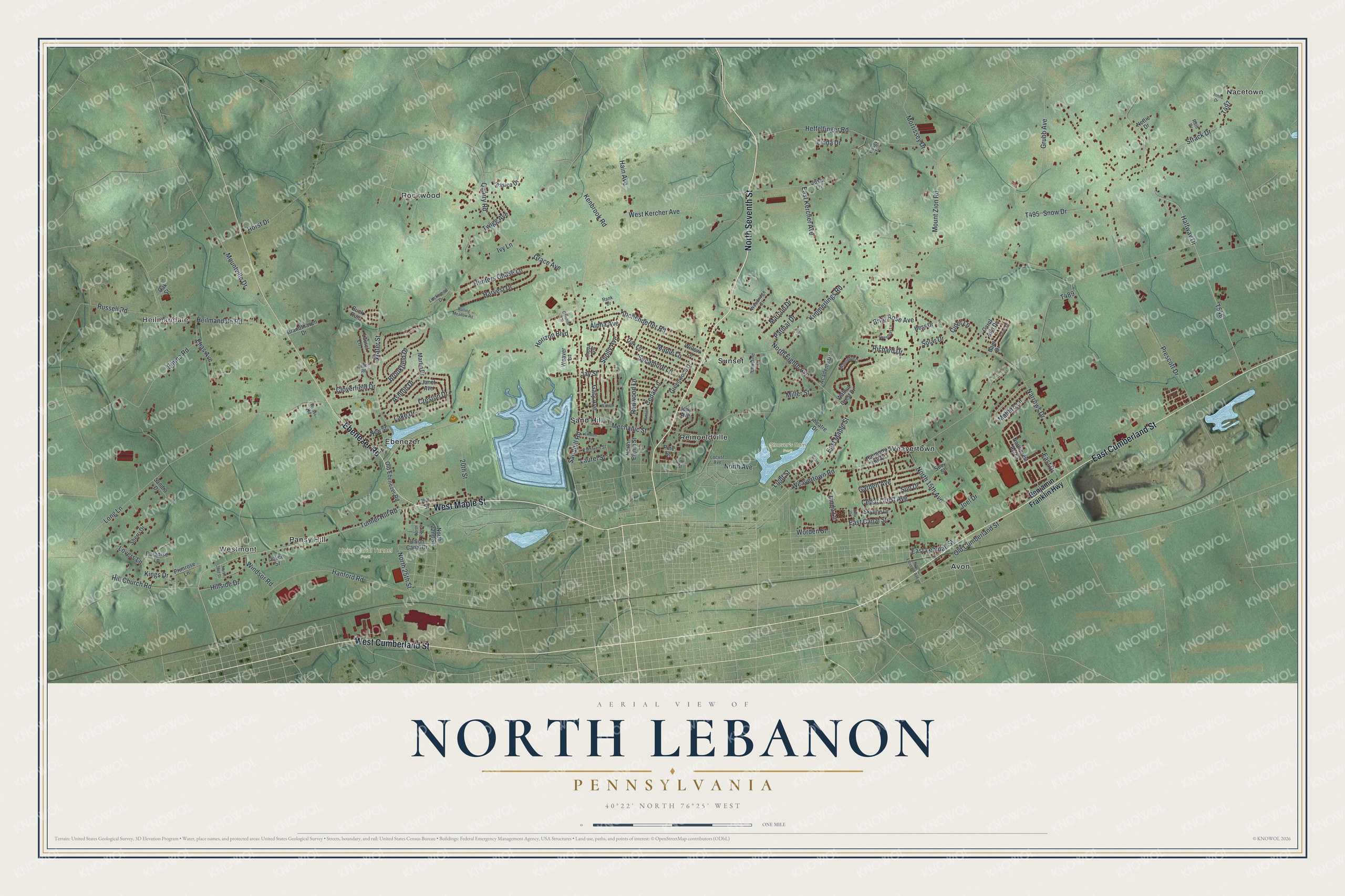
This beautifully detailed map of North Lebanon, Pennsylvania was created in 2026 using aerial imagery combined with modern topographical, census, street and landmark data. It's a modern aerial view of North Lebanon in Lebanon County, Pennsylvania, that combines modern data with a vintage aesthetic. The roads feature printed names, and if you look closely you can find your exact house accurately shown in its correct location.
Explore an aerial view of North Lebanon, Pennsylvania
On this map you'll find Heilmandale, Westmont, Stoever's Dam Park, Union Canal Tunnel Park, Avon, Ebenezer, Nacetown, Pansy Hill, Reinoeldville, Rockwood, Sand Hill, Sunset, and more. Each red shape is a building, so zoom in on the preview and look for yours.
Every town has a first chapter, and North Lebanon is no exception. The North Lebanon Township puts it this way: "North Lebanon Township is home to many churches. The Kimmerlings Church dates back to at least 1745, when Jacob Kimmerling presented a tankard to be used for communion services."
North Lebanon is a place in Lebanon County. The Census Bureau counted 12,041 people here in 2020.
Take a closer look at the North Lebanon map
Names on this map
These names are printed on this map.
Places: Heilmandale, Westmont, Stoever's Dam Park, Union Canal Tunnel Park, Avon, Ebenezer, Nacetown, Pansy Hill, Reinoeldville, Rockwood, Sand Hill, Sunset and Weavertown.
Streets and roads: North Seventh Street, West Maple Street, West Cumberland Street, East Cumberland Street, Ebenezer Road, Sandhill Road, Tunnel Hill Road, North Eighth Avenue, West Kercher Avenue, 20th Street, East Kercher Avenue, Weavertown Road.
More street names, A to Z
Academy Drive, Alpha Avenue, Ashton Drive, Bauer Drive, Baur Drive, Benjamin Franklin Highway, Brandthaven Drive, Briar Rose Avenue, Brookfield Drive, Buck Run, Cappa Avenue, Carol Ann Drive, Cedar Crest Avenue, Cedar Lane, Christine Drive, Cider Lane, Cloverfield Drive, Colonial Circle, Creston Drive, Dodge Street, East Canal Street, East Drive, East Lehman Street, East Maple Street, Elias Avenue, Emma Road, Garden Avenue, Gary Avenue, Grace Avenue, Grant Street, Greenwood Drive, Grubb Avenue, Hain Avenue, Halfway Drive, Hanford Road, Harmony Hill Drive, Harvest Drive, Heagy Drive, Heffelfinger Road, Heilmandale Road, Hess Drive, Hill Church Road, Hillside Drive, Hill Street, Horizon Boulevard, Horst Drive, Hunters Chase Lane, Ivy Lane, Janet Avenue, Jay Street, Jessica Drive, Jody Avenue, Joel Drive, Johns Drive, Joyce Street, Justa Lane, Kathleen Street, Kenbrook Road, Kimmerlings Road, Kings Drive, Kochenderfer Road, Lake Drive, Laurel Lane, Laurel Street, Light Street, Linda Drive, Linda Lane, Linden Street, Lockwood Drive, Locust Avenue, Long Lane, Lovers Lane, Mallard Lane, Maple Lane, Marcon Drive, Martin Drive, Mechanic Street, Miller Street, Morrissey Drive, Mountville Drive, Mount Zion Road, Narrows Drive, Nettie Drive, New Street, North 15th Avenue, North 22nd Street, North 24th Street, North 25th Street, North 33rd Street, North Avenue, Northcrest Acres, North Eighth Street, North Eleventh Avenue, Oak Lane, Oak Street, Old Cumberland Street, Old Ebenezer Road, Paradise Lane, Patmar Drive, Pine Street, Prescott Drive, Primrose Lane, Quarry Road, Rank Drive, Redwood Lane, Richard Drive, Rolling Meadow Road, Rossi Road, Russell Road, Ruth Drive, Sandra Drive, Sherri Drive, Sholly Avenue, Skyline Drive, Snow Drive, Solar Drive, Strack Drive, Stub Road, Sun Drive, Sunset Lane, Suzy Street, Sweetbay Lane, Sycamore Lane, Theatre Drive, Twigg Avenue, Union Canal Drive, Vida Drive, Walnut Crest Drive, Wateredge Court, Water Street, Watson Street, Weaver Lane, Willow Lane, Windsor Road, Woodridge Court, Worden Street.
Created by KNOWOL in 2026. The buildings are small red shapes, the roads carry their printed names, and shaded relief shows the shape of the land. The title panel reads "AERIAL VIEW OF NORTH LEBANON, PENNSYLVANIA" with 40°22' NORTH 76°25' WEST.
Hang it in the hallway, the office or the cabin, or give it to someone who left North Lebanon and still calls it home. Open the preview and look for a street you know. See sizes and frames for the North Lebanon map.