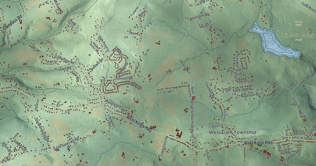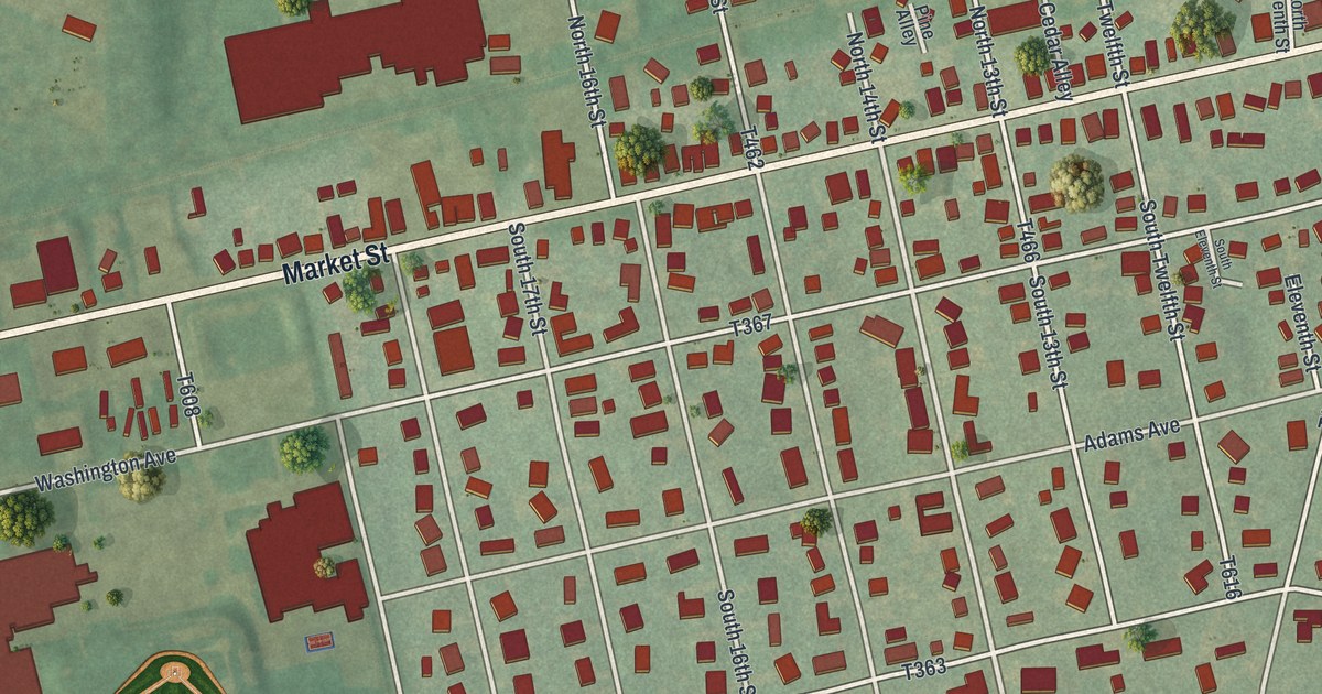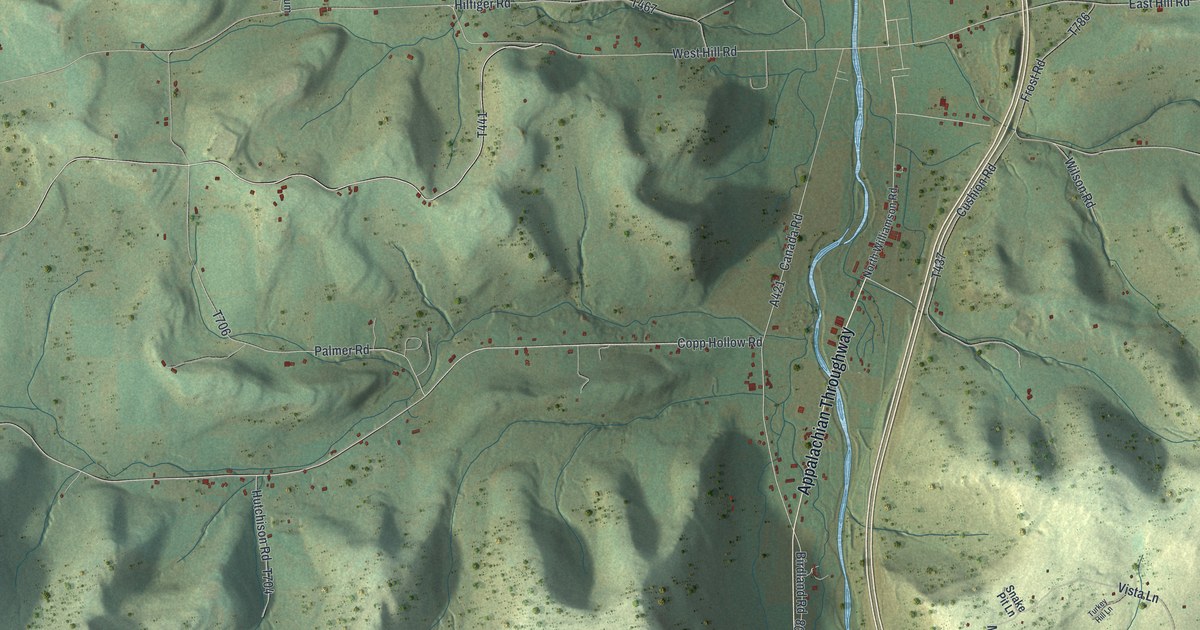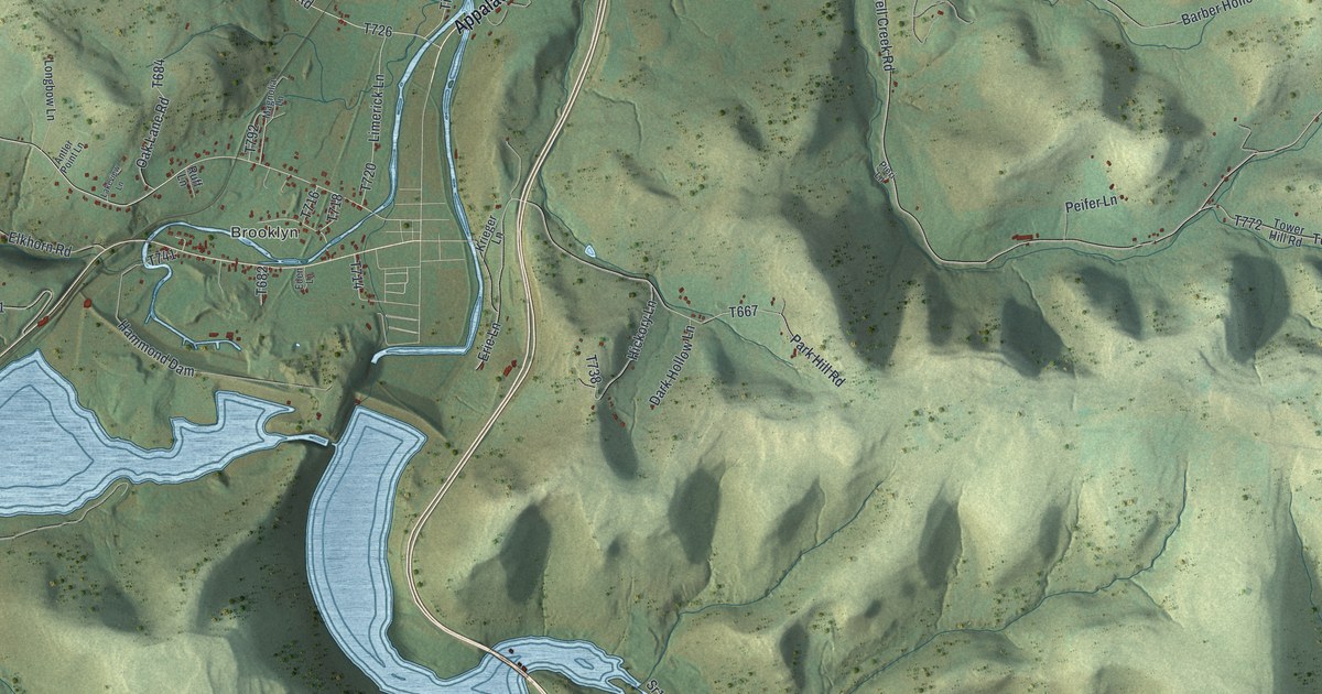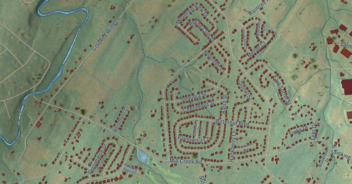
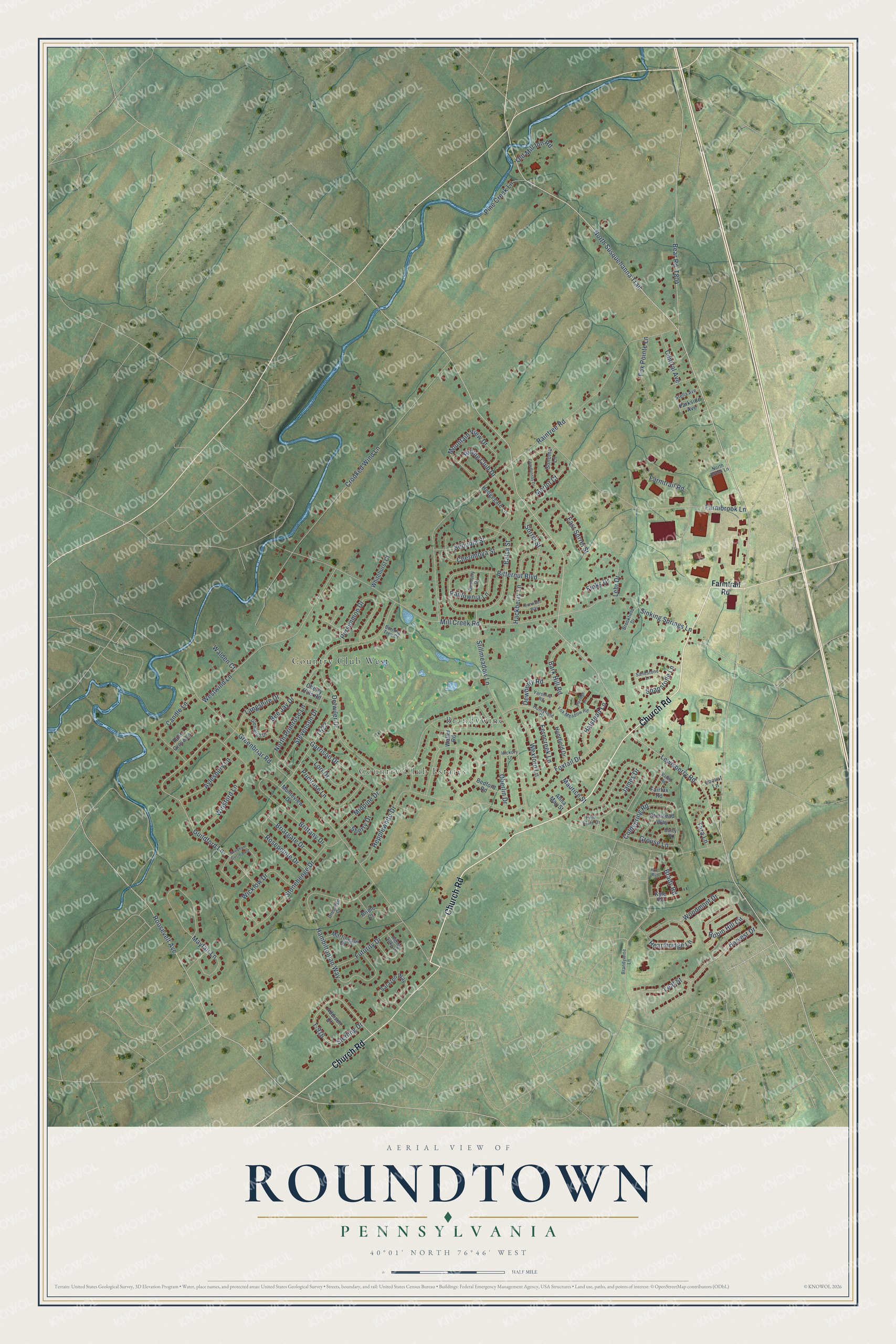
This beautifully detailed map of Roundtown, Pennsylvania was created in 2026 using aerial imagery combined with modern topographical, census, street and landmark data. It’s a one-of-a-kind view of Roundtown that combines accurate data with a vintage aesthetic. The map shows every building in its true location, many of the roads carry their names, and the shaded topographic relief shows the shape of the land.
Explore an aerial view of Roundtown, Pennsylvania
On the map you’ll find Country Club Estates, Brandywine, and Country Club West, along with Church Road, North Susquehanna Trail, Sinking Springs Lane, Roosevelt Avenue, Guildford Lane, Lewisberry Road, Raintree Road, Greenbriar Road, Detwiler Drive, and more. If you look closely you can even find your house accurately drawn in its correct location. Zoom in on the preview to look for yours.
Did You Know?
From Internet Archive: "Baker settled at Roundtown in Manchester township, doing day's work there for some two years, and then passed the early summer working on farms in Conewago township."
Roundtown is a community in York County.
Take a closer look at the Roundtown map
Names on this map
These names are printed on this map.
Places: Country Club Estates, Brandywine and Country Club West.
Streets and roads: Church Road, North Susquehanna Trail, Sinking Springs Lane, Roosevelt Avenue, Guildford Lane, Lewisberry Road, Raintree Road, Greenbriar Road, Detwiler Drive, Crooked Wind Lane, Mill Creek Road, Stillmeadow Lane.
More street names, A to Z
Addison Court, Anna May Street, Aylesbury Lane, Balsa Street, Bark Hill Road, Bear Road, Bedford Road, Bee Jay Drive, Bitternut Boulevard, Brady Road, Brandywine Lane, Briargate Drive, Bridle Court, Brittany Drive, Brookfield Drive, Burning Tree Court, Candle Lane, Central Avenue, Chardonnay Drive, Cherimoya Street, Cherry Hills Road, Coldspring Road, Dewberry Road, Dressage Court, Dulcy Drive, Duxburry Drive, East Sorrel Street, Elkridge Lane, Fairfax Road, Falls Grove Lane, Farmbrook Lane, Farmtrail Road, Ferncreek Lane, Finks Drive, Fox Meadow Road, Fox Pointe Lane, Foxtail Drive, Futurity Drive, Garrison Drive, Glenleigh Drive, Grouse Lane, Hackberry Lane, Halstead Lane, Hambiltonian Way, Harvest Drive, Hearthridge Lane, Hedgegate Lane, Hepplewhite Drive, Hickory Lane, Huntfield Drive, Huntsfield Drive, Ironwood Way, James Drive, Kyle Road, Langshire Drive, Leaf Street, Lehr Drive, Locust Lane, Lori Drive, Martingale Drive, Maurice Street, Mayfair Lane, Merlot Court, Midpine Drive, Monteview Drive, Mountain View Drive, Needham Circle East, North Brook Lane, North Primrose Lane, Oberlin Drive, Old Mill Inn Road, Olmstead Way, Parkside Avenue, Paulownia Lane, Penn State Drive, Persimmon Drive, Pine Creek Lane, Primrose Lane, Riding Club Drive, Riding Silks Lane, Robin Hill Circle, Rosepointe Drive, Ryan Run, Sandstone Lane, Sarazen Way, Sequoia Street, Sherry Drive, Soapstone Lane, Sonoma Lane, Sorrel Street, Stella Avenue, Sterling Drive, Stevenson Drive, Stonehenge Drive, T-916, Tara Lane, Valley Road, Walden Court, Waller Road, Westwind Lane, Wexford Lane, Whitehurst Court, Wicklow Drive, Winsford Lane, Woodmont Drive, Yarshire Road.
See it on a wall
The Roundtown map as a framed print. Swipe for more.


This beautifully detailed map of Roundtown makes an attractive addition to your office, library, or den, and it can even be used to teach children the geography and history of the area. It also makes a great gift for anyone with Roundtown roots. When you’re done exploring, click here to get your copy of the Roundtown map.