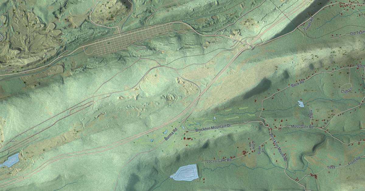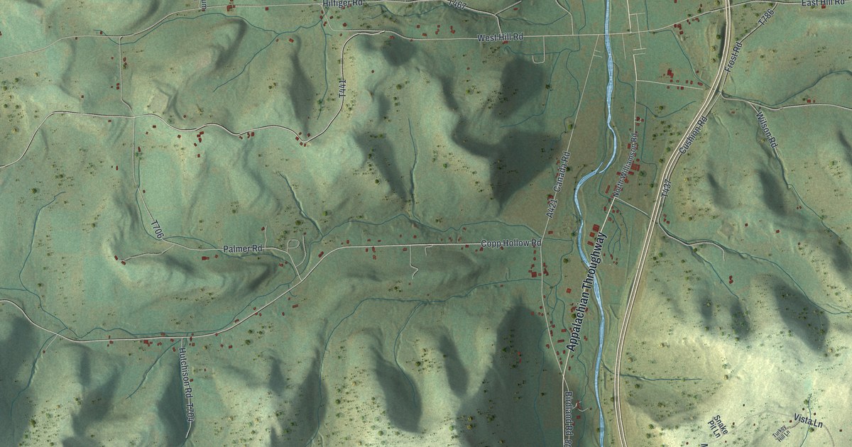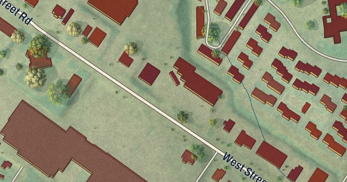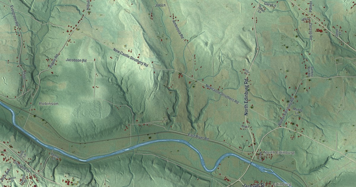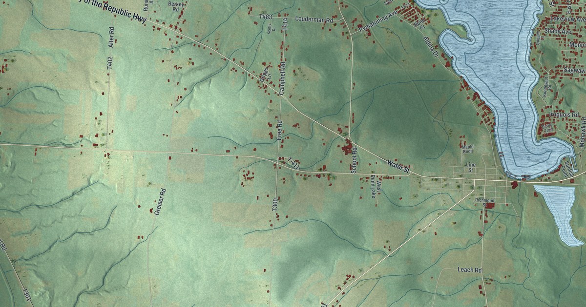
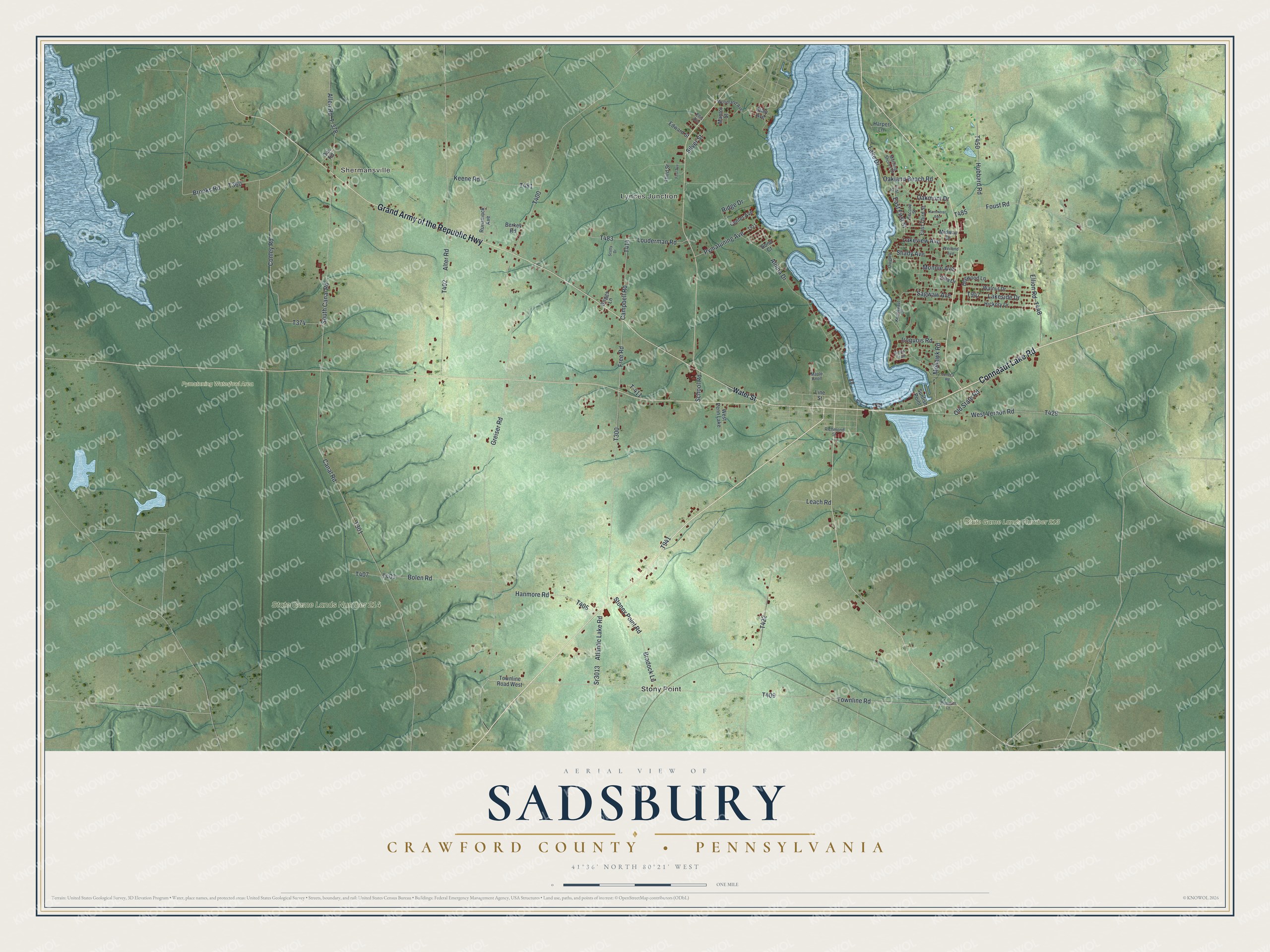
This beautifully detailed map of Sadsbury, Crawford County, Pennsylvania was created in 2026 using aerial imagery combined with modern topographical, census, street and landmark data. It’s a one-of-a-kind view of Sadsbury that combines accurate data with a vintage aesthetic. The map shows every building in its true location, many of the roads carry their names, and the shaded topographic relief shows the shape of the land.
Explore an aerial view of Sadsbury, Crawford County, Pennsylvania
On the map you’ll find Lynces Junction, Shermansville, Pymatuning Waterfowl Area, State Game Lands Number 213, State Game Lands Number 214, and Stony Point, along with Conneaut Lake Road, Grand Army of the Republic Highway, Old State Road, East First Street, Townline Road, and more. If you look closely you can even find your house accurately drawn in its correct location. Zoom in on the preview to look for yours.
Did you know this piece of Sadsbury, Crawford County, Pennsylvania history?
Anson Sherman laid out the village of Shermanville along the canal in 1842. During the busy canal years, it was a lumber shipping point of real note. Sherman died in 1873 at age seventy-nine. Later the village held nineteen dwellings, a school, a store and a steam sawmill. That’s from the 1885 History of Crawford County.
Take a closer look at the Sadsbury, Crawford County map
Street and place names on the Sadsbury, Crawford County, Pennsylvania map
These names are printed on the map of Sadsbury, Crawford County, Pennsylvania.
Places: Lynces Junction, Shermansville, Pymatuning Waterfowl Area, State Game Lands Number 213, State Game Lands Number 214, Stony Point and West Penn Lake.
Streets and roads: Conneaut Lake Road, Grand Army of the Republic Highway, Old State Road, East First Street, Townline Road, Greiser Road, Canal Road, Alter Road, Free Road, Leach Road, South Canal Road, Conley Road.
More street names, A to Z
Aldina Drive, Allen Road, Atlantic Lake Road, Berkey Road, Bolen Road, Bond Court, Bradock Lane, Brooks Road, Campbell Road, Center Avenue, Dogwood Lane, East Third Street, Edward Street, Ellion Road, Ellis Avenue, First Avenue, First Street, Foust Road, Griggs Lane, Hanmore Road, Harper Lane, Hickory Drive, Hubbard Road, Iroquois Road, Kammerer Avenue, Keene Road, Konneyaut Circle, Lake Drive, Lakeside Drive, Lakeview Avenue, Line Street, Louderman Road, Mantor Street, Maple Knoll, Midway Drive, Mohawk Road, Monnie Avenue, Morning Shores Drive, Oakland Beach Road, Oakmont Drive, Oak Road, Plymouth Lane, Pymatuning Avenue, Quigley Lane, Richmond Street, Ridge Drive, Runamuck Avenue, Sagwaw Avenue, School Road, Scotty Drive, Second Street, Seneca Road, Shady Avenue, Silver Street, Sioux Trail, Sr3013, Stoney Point Road, Sunfish Point, T-378, T-411, Third Street, Townline Road West, Utley Avenue, Villa Drive, Walnut Drive, Water Street, Weiland Avenue, West Vernon Road, Woodland Avenue.
See the Sadsbury, Crawford County, Pennsylvania map on a wall
The Sadsbury, Crawford County map as an 18 x 24 inch print in a black frame.

This beautifully detailed map of Sadsbury, Crawford County makes an attractive addition to your office, library, or den, and it can even be used to teach children the geography and history of the area. It also makes a great gift for someone who left Sadsbury and still calls it home. When you’re done exploring, click here to get your copy of the Sadsbury, Crawford County map.