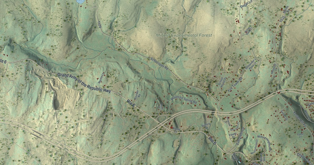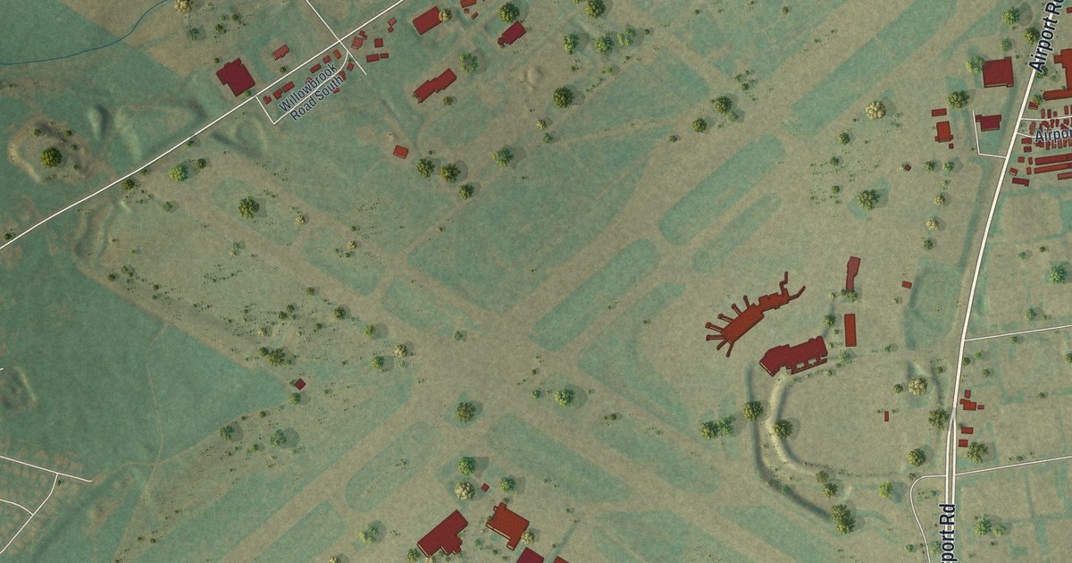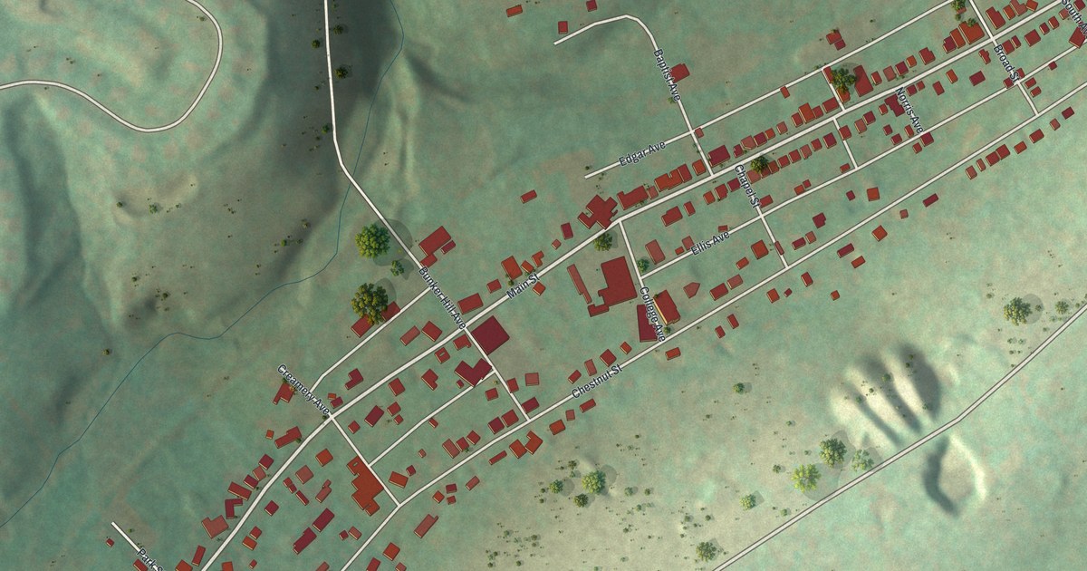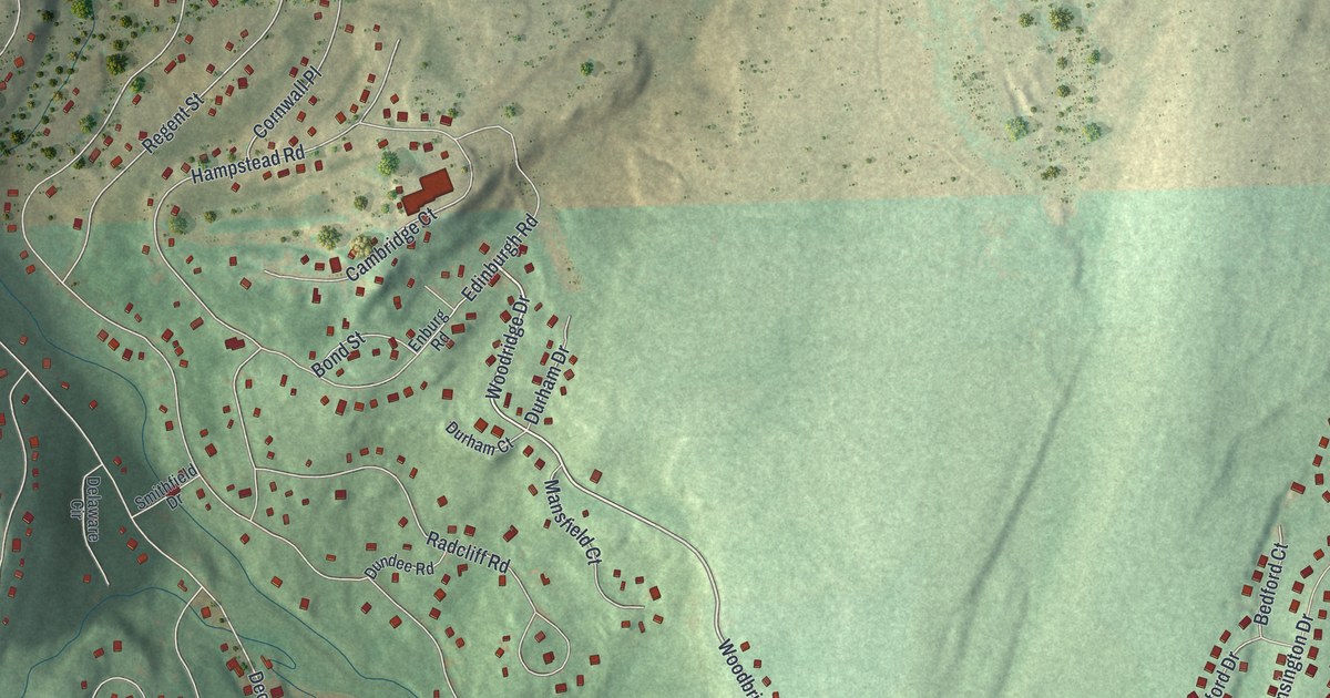
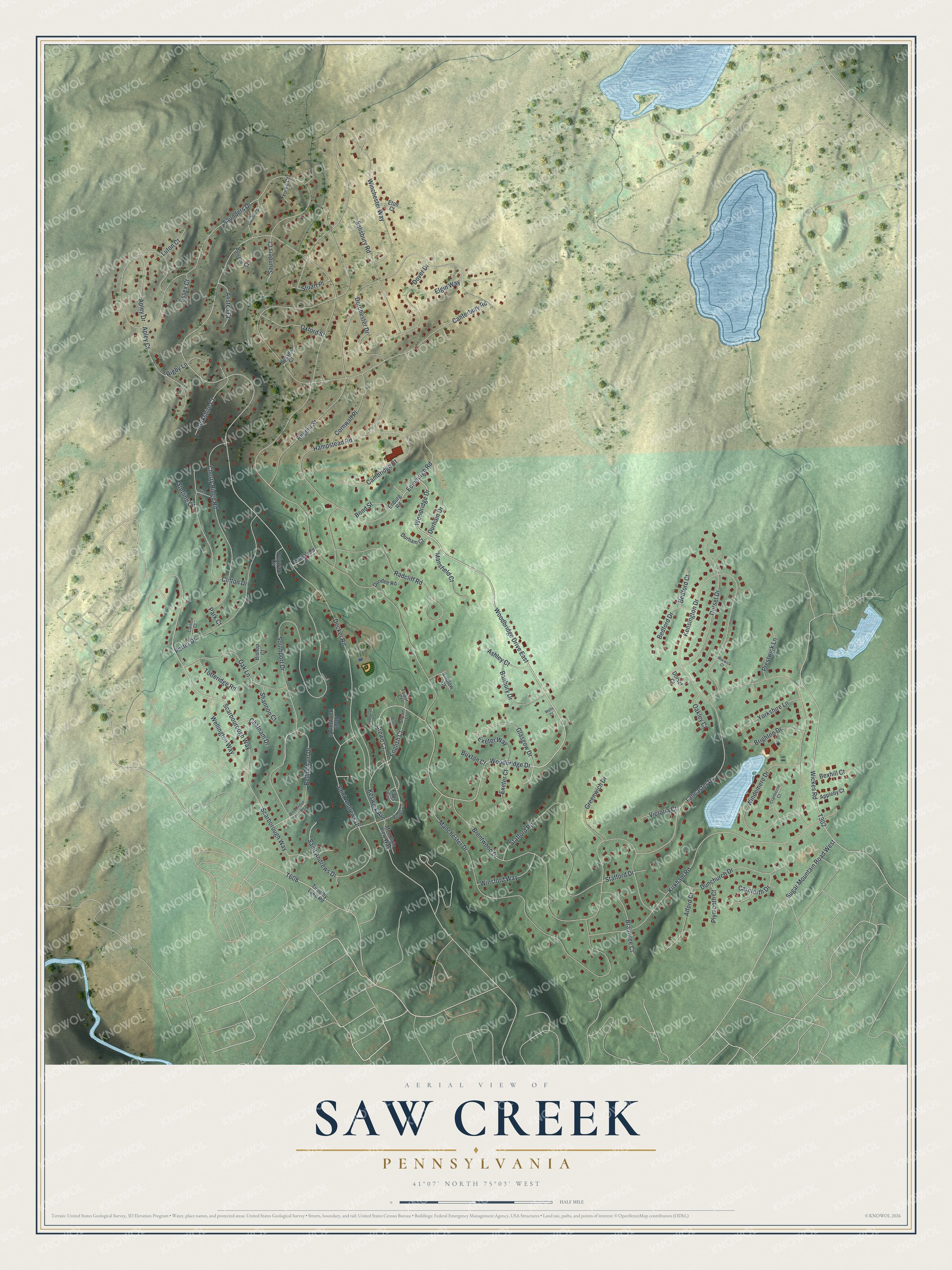
This beautifully detailed map of Saw Creek, Pennsylvania was created in 2026 using aerial imagery combined with modern topographical, census, street and landmark data. It's a modern aerial view of Saw Creek in Pike County, Pennsylvania, that combines modern data with a vintage aesthetic. The roads feature printed names, and if you look closely you can find your exact house accurately shown in its correct location.
Explore an aerial view of Saw Creek, Pennsylvania
On this map you'll find Woodbridge Drive, Scarbourough Way, Saint Andrews Drive, Hampstead Road, Scarborough Way, T302, Keswick Avenue, Bellingham Drive, English Court, Decker Road, Saunders Drive, Canterbury Road, and more. Each red shape is a building, so zoom in on the preview and look for yours.
Here is a piece of Saw Creek history. At Winona Falls, Saw Creek descends over a series of waterfalls. Pennsylvania's geological survey listed the falls among the state's outstanding scenic geological features. For their height, their width and the number of falls, it called them the finest examples in Pennsylvania. That's from the Pennsylvania Geological Survey.
Saw Creek is a community in Pike County. The Census Bureau counted 4,118 people here in 2020. Saw Creek sits about 4 miles southwest of Pine Ridge, 5 miles southwest of Pocono Mountain Lake Estates and 6 miles southwest of Pocono Ranch Lands. The map prints the town name in its title panel, with the coordinates below it.
Take a closer look at the Saw Creek map
Names on this map
These names are printed on this map.
Streets and roads: Woodbridge Drive East, Woodbridge Drive, Scarbourough Way, Saint Andrews Drive, Hampstead Road, Scarborough Way, Keswick Avenue, Bellingham Drive, English Court, Decker Road, Saunders Drive, Canterbury Road.
More street names, A to Z
Alford Court, Ansted Court, Apley Court, Apley Drive, Appleby Court, Ashley Court, Banbury Drive, Bedford Court, Bedford Drive, Berkshire Court, Bexhill Court, Bishop Court, Bond Street, Bourne Court, Braintree Court, Brentwood Drive, Brighton Drive, Buxton Court, Cambridge Court, Carlisle Court, Carnforth Drive, Chatnam Drive, Cherry Ridge Road, Clifton Drive, Cornwall Place, Cranborne Court, Crewe Court, Delaware Circle, Dorchester Drive, Dorset Court, Dorset Drive, Dover Drive, Dunchurch Drive, Dundee Road, Durham Court, Durham Drive, Edinburgh Road, Elgin Way, Enburg Road, Essex Court, Eton Court, Exeter Court, Exeter Way, Falls Circle, Glasgow Drive, Greenwich Drive, Kensington Drive, Kirkham Road, Lancaster Drive, Ludlow Court, Luton Court, Manchester Drive, Mansfield Court, Mountain View Way, North Hampton Court, Oak Lane, Oakley Court, Oxford Street, Park Court, Plymooth Court, Porter Drive, Prestwick Lane, Price Street, Radcliff Road, Regent Street, Rigby Lane, Salisbury Road, Saunders Court, Sedburgh Court, Shannon Court, Smithfield Drive, Snowball Drive, Southport Drive, Stafford Drive, Stafford Road, Sterling Circle, Stream Court, Stuart Place, Sugar Mountain Road West, Sussex Court, Timothy Lake Road, Totteridge Road, Tudor Court, Victoria Court, Wales Court, Warwick Court, Wellington Way, Wells Court, Wickes Road, Winchester Way, Windemere Drive, Winsford Way, Woodbridge Drive West, Woodridge Drive, Woods Lane, Yorke Court, Yorkshire Lane.
See it on a wall
The Saw Creek map as a framed print. Swipe for more.


Created by KNOWOL in 2026. The buildings are small red shapes, the roads carry their printed names, and shaded relief shows the shape of the land. The title panel reads "AERIAL VIEW OF SAW CREEK, PENNSYLVANIA" with 41°07' NORTH 75°03' WEST.
It suits a den, a classroom or a front hall, and it makes a gift for anyone with Saw Creek roots. Open the preview and find the block you know. See sizes and frames for the Saw Creek map.