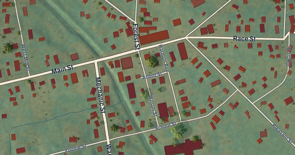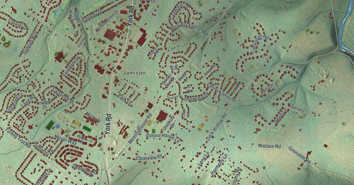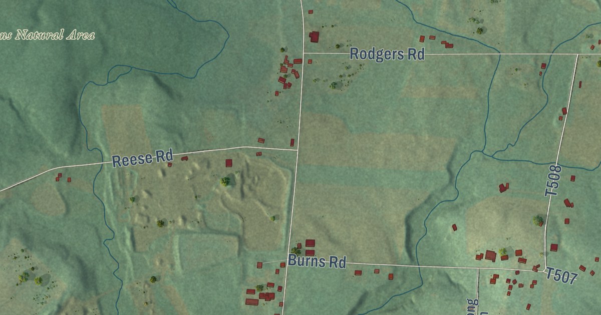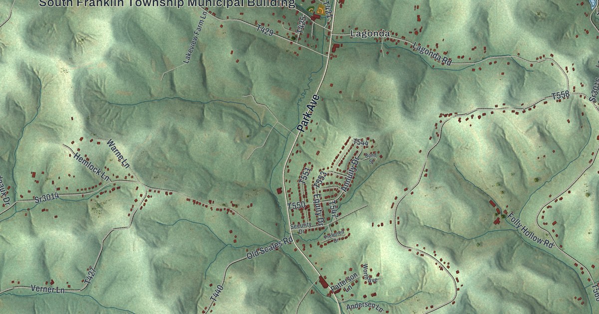
This beautifully detailed map of South Franklin, Pennsylvania was created in 2026 using aerial imagery combined with modern topographical, census, street and landmark data. It’s a one-of-a-kind view of South Franklin that combines accurate data with a vintage aesthetic. The map shows every building in its true location, many of the roads carry their names, and the shaded topographic relief shows the shape of the land.
Explore an aerial view of South Franklin, Pennsylvania
On the map you’ll find South Franklin Township Municipal Building, Chambers Mill, Van Buren, Point Lookout, and Lagonda, along with Park Avenue, South Bridge Road, Lagonda Road, Jolly School Road, Scenic Drive, Alamae Lakes Road, and more. If you look closely you can even find your house accurately drawn in its correct location. Zoom in on the preview to look for yours.
Did you know this piece of South Franklin, Pennsylvania history?
From South Franklin Township: "In 1855, Franklin Township was formed from parts of Amwell, Canton and Morris Townships, and on Feb. 8, 1892, Franklin Township divided into North and South Franklin Townships."
Take a closer look at the South Franklin map
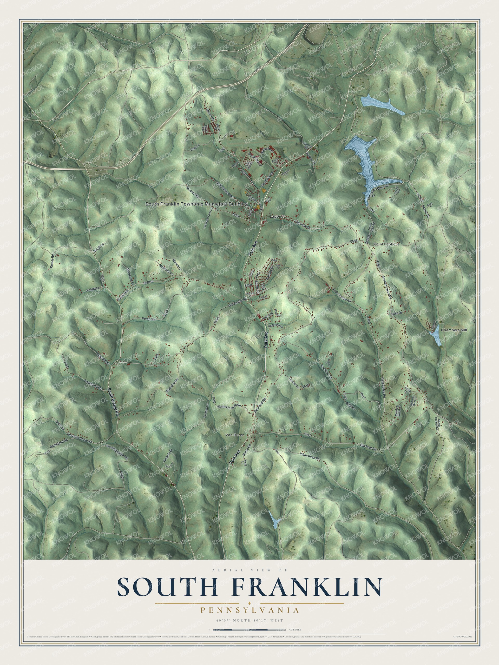
Street and place names on the South Franklin, Pennsylvania map
These names are printed on the map of South Franklin, Pennsylvania.
Places: South Franklin Township Municipal Building, Chambers Mill, Van Buren, Point Lookout and Lagonda.
Streets and roads: Park Avenue, South Bridge Road, Lagonda Road, Jolly School Road, Sr2007, Scenic Drive, Alamae Lakes Road, Vista Valley Road, Equity Drive, Cove Road, Pikes Peak Road, Deerfield Road.
More street names, A to Z
Airport Road, Andersen Lane, Annuity Drive, Bedillion Road, Bennett Lane, Bethel Church Road, Bond Street, Bordeaux Drive, Burgh Lane, Chambers Mill Road, Coal Lane, Cracraft Road, Crestmont Road, Dogwood Drive, Farmer Lane, Flag Lane, Folly Hollow Road, Gameland Road, Gayle Avenue, Goodridge Lane, Green Avenue, Hazlett Drive, Hemlock Lane, Hiawatha Road, Hunter Lane, Kemp Lane, Kinder Road, King Air Circle, Knight Lane, Knole Road, Knoll Lane, Lake Drive, Lakeview Farm Lane, Lower Cove Road, Meadow Wood Lane, Melvania Drive, Moore Drive, Moore Road, Mounts Road, Municipal Road, Newton Avenue, Nichole Drive, Old Plank Road, Old Post Road, Old Scales Road, Patterson Lane, Pleasant Grove Road, Preferred Drive, Rankin Road, Road 6, Security Drive, Semple Way, Sr3014, Sr3015, Sr62116, Sturge Hollow Road, Vaneal Road, Vankirk Road, Verner Lane, Walker Lane, Warne Lane, Waterdam Road, White Tail Wood Lane, Winding Ridge Road, Worth Avenue.
See the South Franklin, Pennsylvania map on a wall
The South Franklin map as an 18 x 24 inch print in a black frame.

This beautifully detailed map of South Franklin makes an attractive addition to your office, library, or den, and it can even be used to teach children the geography and history of the area. It also makes a great gift for anyone with South Franklin roots. When you’re done exploring, click here to get your copy of the South Franklin map.