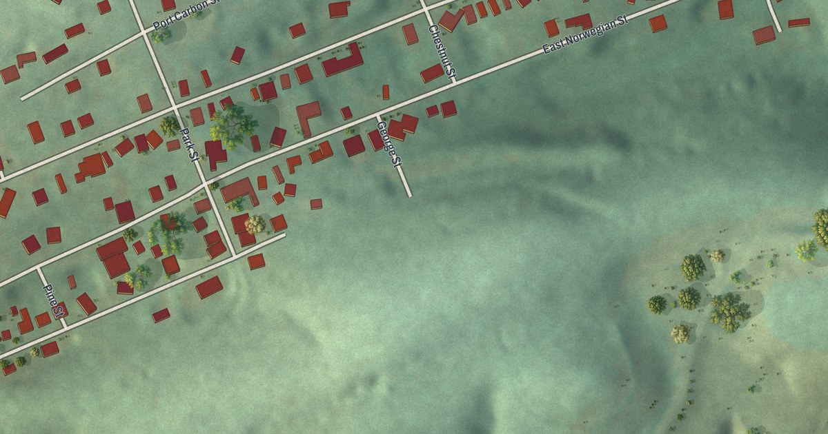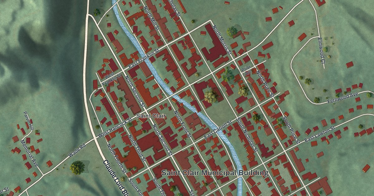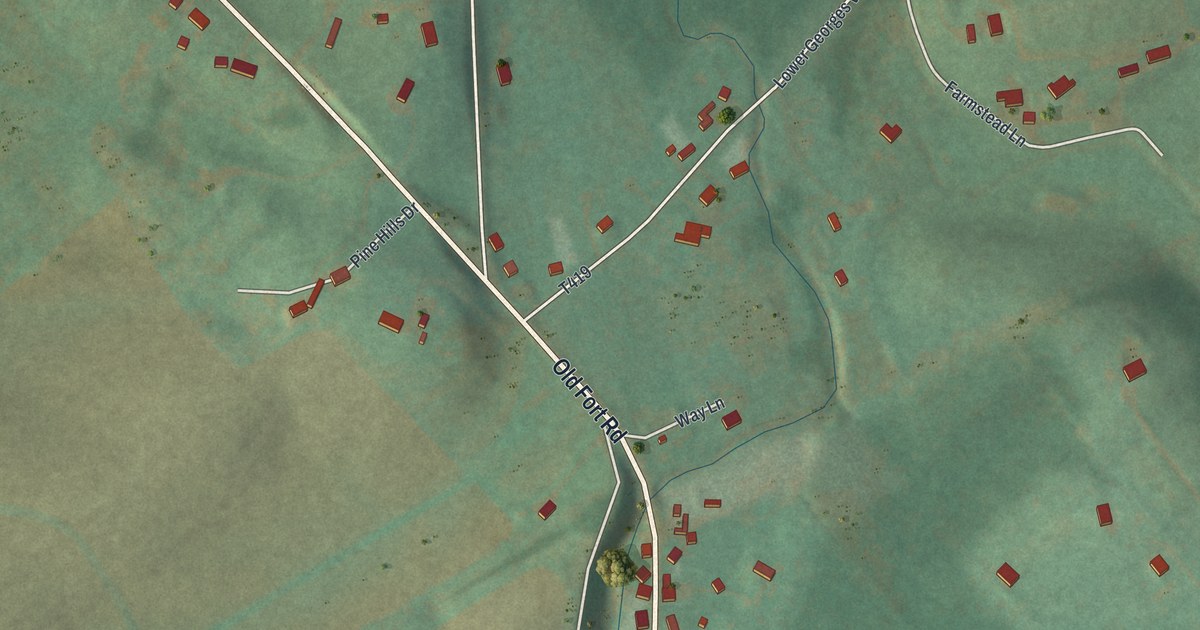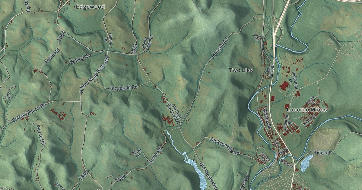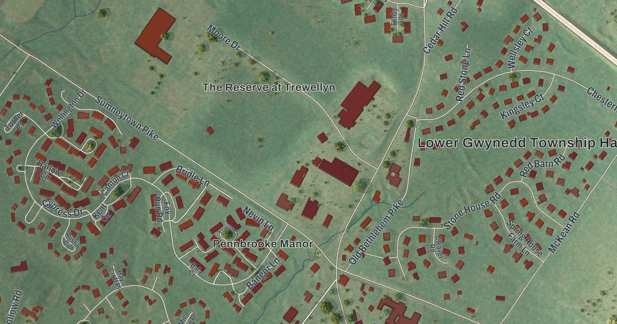
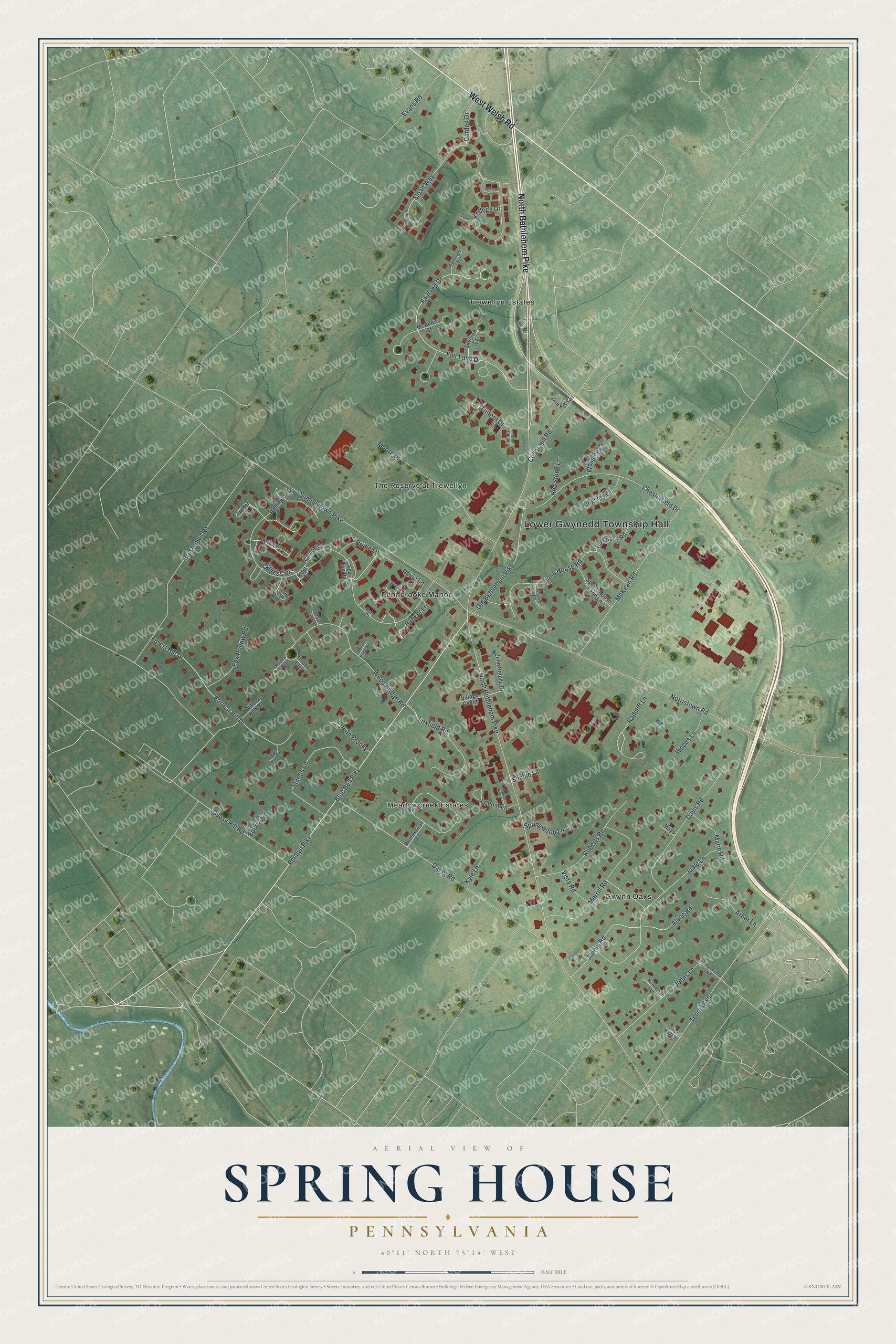
This beautifully detailed map of Spring House, Pennsylvania was created in 2026 using aerial imagery combined with modern topographical, census, street and landmark data. It's a modern aerial view of Spring House in Montgomery County, Pennsylvania, that combines modern data with a vintage aesthetic. The roads feature printed names, and if you look closely you can find your exact house accurately shown in its correct location.
Explore an aerial view of Spring House, Pennsylvania
On this map you'll find Lower Gwynedd Township Hall, Gwynn Oaks, Trewellyn Estates, Meadowcreek Estates, Pennbrooke Manor, The Reserve at Trewellyn, North Bethlehem Pike, West Welsh Road, Penllyn Pike, Blue Bell Pike, Bridle Lane, Bangor Lane, and more. Each red shape is a building, so zoom in on the preview and look for yours.
Spring House is a community in Montgomery County. The Census Bureau counted 3,978 people here in 2020. Spring House sits about 2 miles west of Maple Glen, 3 miles northwest of Fort Washington and 3 miles northeast of Blue Bell. The map prints the town name in its title panel, with the coordinates below it.
Take a closer look at the Spring House map
Names on this map
These names are printed on this map.
Places: Lower Gwynedd Township Hall, Gwynn Oaks, Trewellyn Estates, Meadowcreek Estates, Pennbrooke Manor and The Reserve at Trewellyn.
Streets and roads: North Bethlehem Pike, West Welsh Road, Penllyn Pike, Blue Bell Pike, Bridle Lane, Bangor Lane, Cypress Drive, Sloan Way, Radcliff Lane, Kellogg Drive, Norristown Road, Gypsy Hill Road.
More street names, A to Z
Aleinu Road, Alene Road, Arbor Lane, Austin Circle, Bala Court, Brushtown Road, Canton Court, Cedar Hill Road, Chesterfield Drive, Cleaver Road, Dager Road, Darden Drive, Davis Road, Ederer Lane, Evans Road, Fair Land Drive, Fairland Drive, Forest Hill Drive, Forrest Hill Drive, Foxfield Road, Fox Hollow Road, Fox Run Road, Gwyn Maple Drive, Harlow Circle, Hay Croft Place, Hays Lane, Hunters Run, John Rotelle Drive, Johns Lane, Johnson Lane, Judie Lane, Kenilworth Lane, Kent Circle, Kingsley Court, Kyle Lane, Locust Lane, Marie Road, McAuley Court, McKean Road, Meadowcreek Circle, Merrill Road, Mill Race Place, Moore Drive, Nevin Lane, Old Bethlehem Pike, Penn Brooke, Pileggi Court, Poplar Court, Red Barn Road, Red Stone Lane, Roberts Road, Severen Court, Shebie Lane, Spring House Farm Lane, Springwood Lane, Stone House Road, Sturgis Lane, Sumneytown Pike, Susquehanna Road, Sweet Briar Circle, Tenby Court, Tennis Avenue, Timber Fare, Tintern Drive, Towyn Court, Tuck Court, Turner Court, Village Center, Vista Road, Wainwright Court, Wellington Drive, Wellsley Court, Willow Run Road, Wood Bridge Road, Woods Lane.
See it on a wall
The Spring House map as a framed print. Swipe for more.


Created by KNOWOL in 2026. The buildings are small red shapes, the roads carry their printed names, and shaded relief shows the shape of the land. The title panel reads "AERIAL VIEW OF SPRING HOUSE, PENNSYLVANIA" with 40°11' NORTH 75°14' WEST.
Hang it in the hallway, the office or the cabin, or give it to someone who left Spring House and still calls it home. Open the preview and look for a street you know. See sizes and frames for the Spring House map.