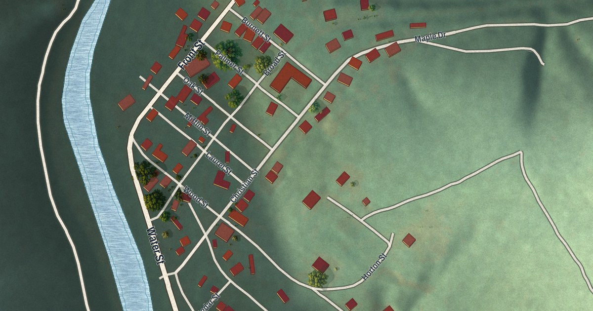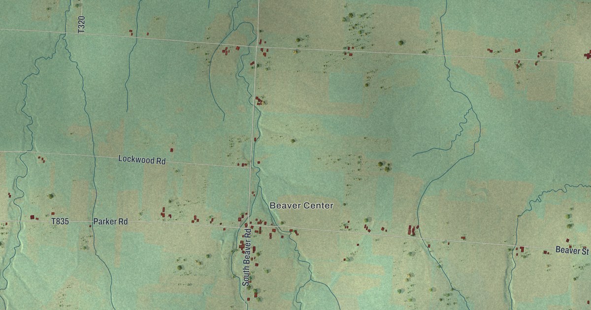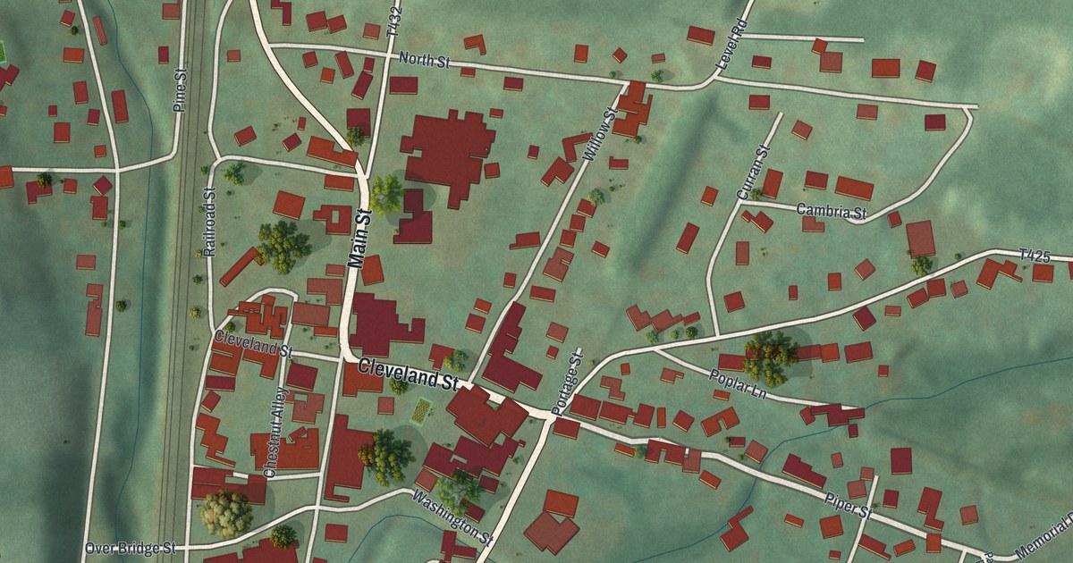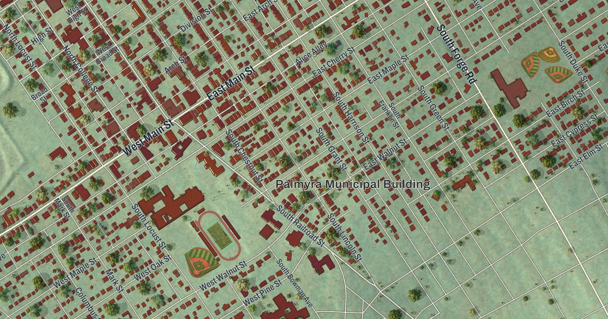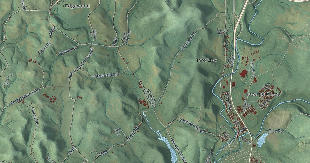
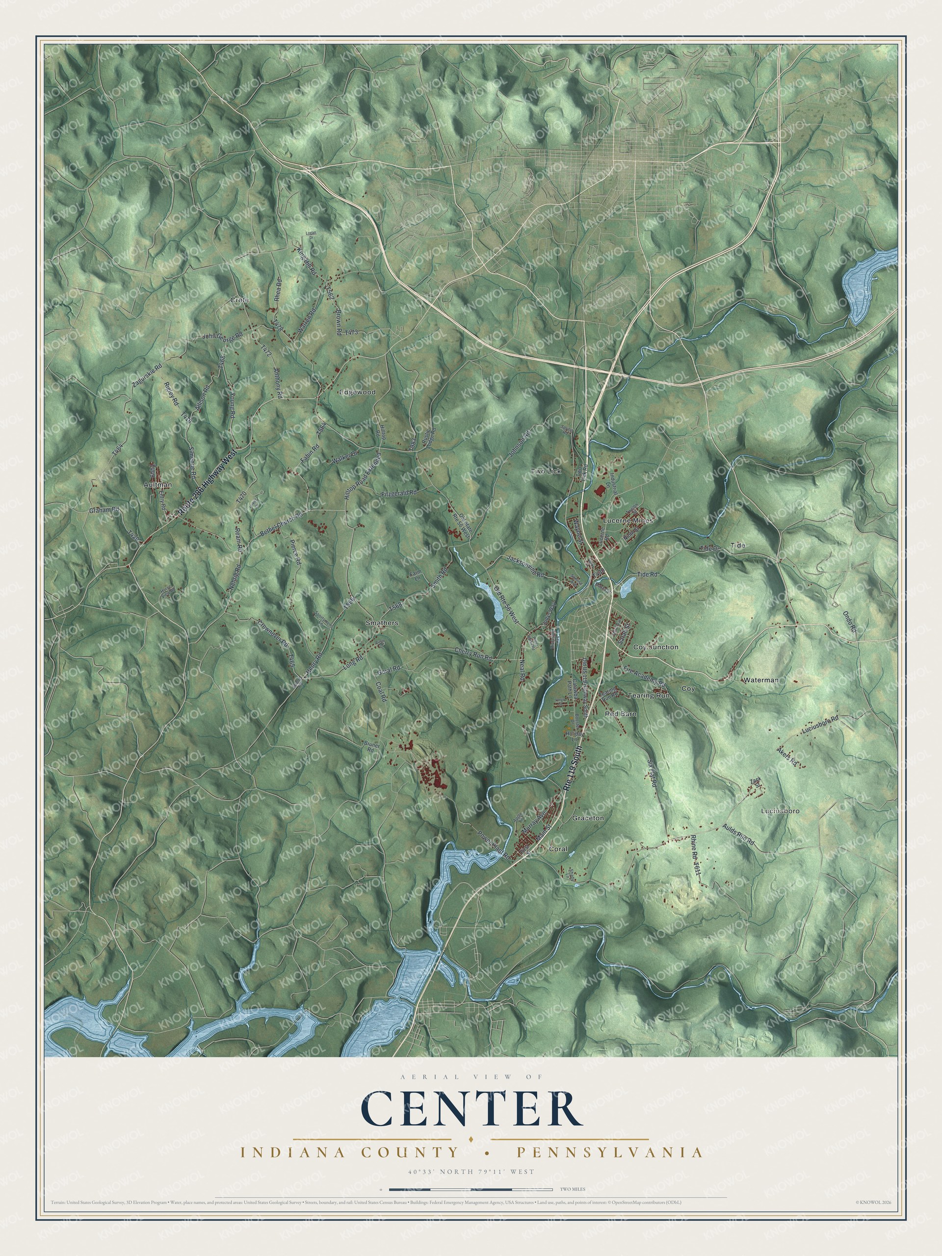
This beautifully detailed map of Center, Indiana County, Pennsylvania was created in 2026 using aerial imagery combined with modern topographical, census, street and landmark data. It's a modern aerial view of Center, Indiana County in Indiana County, Pennsylvania, that combines modern data with a vintage aesthetic. The roads feature printed names, and if you look closely you can find your exact house accurately shown in its correct location.
Explore an aerial view of Center, Indiana County, Pennsylvania
On this map you'll find Luciusboro, Aultman, Coral, Coy, Coy Junction, Crete, Edgewood, Graceton, Lucerne Mines, Red Barn, Smathers, Tearing Run, and more. Each red shape is a building, so zoom in on the preview and look for yours.
Center, Indiana County has a story worth telling. The PA Roots puts it this way: "In the 1830's and 1840's Indiana County became a hotbed of abolitionism. The Center Township Anti-Slavery Society was organized in 1838, and an abolition newspaper, The Clarion Freedom , was established in 1843."
Center, Indiana County is a place in Indiana County. The Census Bureau counted 4,391 people here in 2020.
Take a closer look at the Center, Indiana County map
Names on this map
These names are printed on this map.
Places: Luciusboro, Aultman, Coral, Coy, Coy Junction, Crete, Edgewood, Graceton, Lucerne Mines, Red Barn, Smathers, Tearing Run, Tide, Two Lick and Waterman.
Streets and roads: Route 119 South, Route 286 Highway West, Bethel Church Road, Hilltop Road Extended, Goral Road, Jacksonville Road, Fire Academy Road, Main Street, Neal Road, Old Route 56 West, Luciusboro Road, Power Plant Road.
More street names, A to Z
Akers Road, Allison Road, Anthony Road, Apple Lane, Aulds Run Road, Booster Drive, Brown Road, Bruner Road, Catawba Path Lane, Cherry Run Road, Circle Drive, Coal Road, Crownover Road, Entry Road, Fabin Road, Farm Lane, First Street, Fitzgerald Road, Graham Road, Henry Road, Hilltop Road, Holiday Lane, Horse View Road, Industrial Lane, John George Road, Johnson Road, Judys Way, King Hill Road, Logan Drive, Long Road, Lucerne Road, Mazza Street, Murray Avenue, Nehrig Road, Ninth Street, Old State Route 56 West, Old US 119 Highway South, Ondo Road, Pierce Road, Ream Road, Rhea Road, Rhine Road, Rigley Road, Riverside Avenue, Rustic Lodge Road, Sarah Street, Shady Lane, Simeone Road, Six Flat Road, Smith Road, Sportsmens Lane, Spring Road, Strong Road, Sunrise Avenue, Taylor Lane, Tearing Run Road, Third Avenue, Tide Drive, Tide Road, Turkey Lane, Twelfth Street, Two Lick Road, Vargo Lane, Walker Drive, Warren Road, Water Works Road, Wayne Street, Young Road, Zack Street, Zagurskie Road.
Created by KNOWOL in 2026. The buildings are small red shapes, the roads carry their printed names, and shaded relief shows the shape of the land. The title panel reads "AERIAL VIEW OF CENTER INDIANA COUNTY • PENNSYLVANIA" with 4, 0, °, 3, 3, ', , N, O, R, T, H, , 7, 9, °, 1, 1, ', , W, E, S, T.
It looks right in a kitchen, an office or a den, and it's a gift for anyone who grew up in Center, Indiana County or moved away. Open the preview and find your street. See sizes and frames for the Center, Indiana County map.