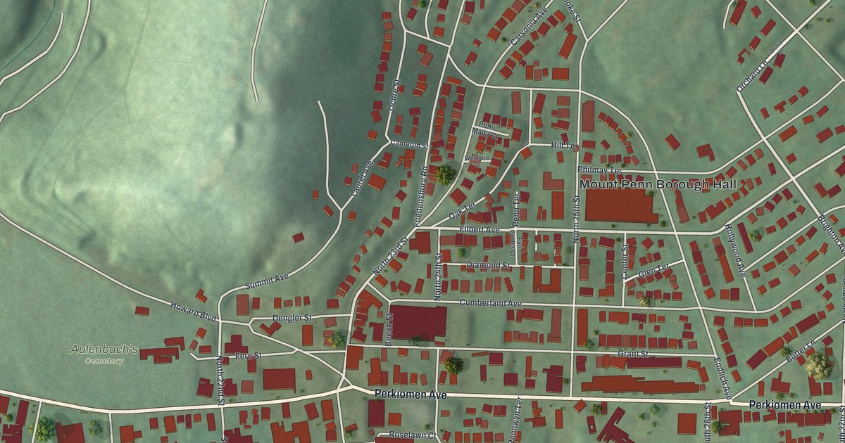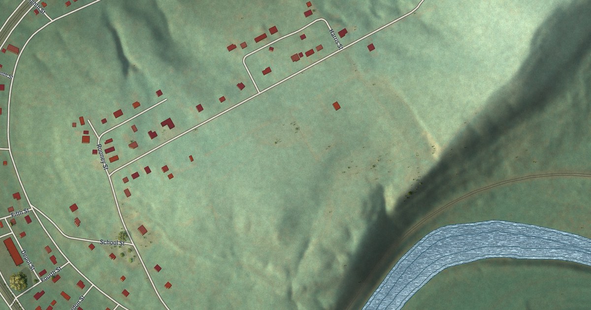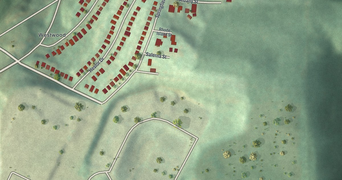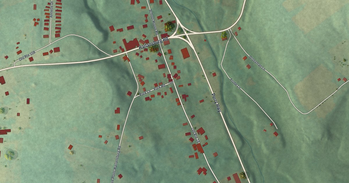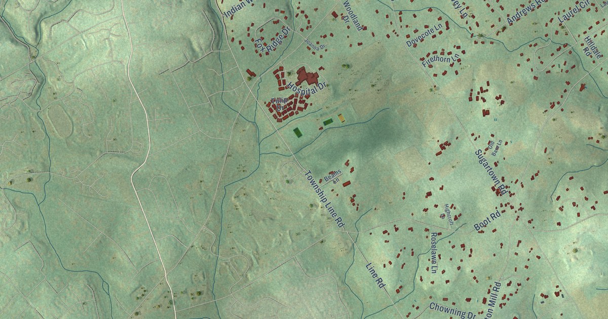
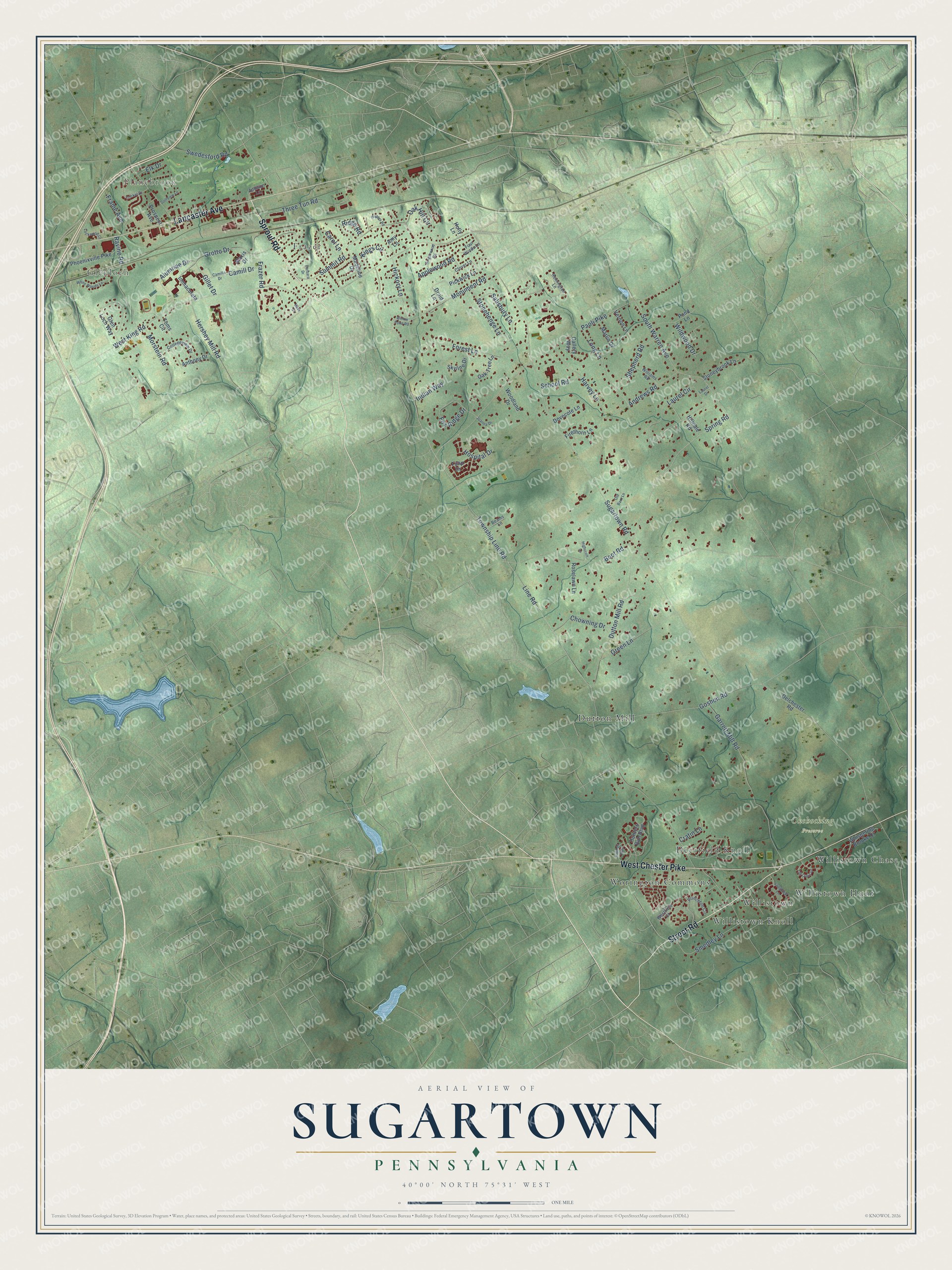
This beautifully detailed map of Sugartown, Pennsylvania was created in 2026 using aerial imagery combined with modern topographical, census, street and landmark data. It’s a one-of-a-kind view of Sugartown that combines accurate data with a vintage aesthetic. The map shows every building in its true location, many of the roads carry their names, and the shaded topographic relief shows the shape of the land.
Explore an aerial view of Sugartown, Pennsylvania
On the map you’ll find Glenloch, Planebrook, Okehocking Preserve, Worington Commons, Dutton Mill, Willistown Hunt, Frazer, Willistown, Deerfield Knoll, Willistown Chase, and Willistown Knoll, along with Sproul Road, and more. If you look closely you can even find your house accurately drawn in its correct location. Zoom in on the preview to look for yours.
Did You Know?
From Internet Archive: "Many of the settlers desired it to be erected on a large lot of some fifteen acres in Easttown township at the northwest corner of Waterloo and Sugartown roads."
Sugartown is a community in Chester County.
Take a closer look at the Sugartown map
Names on this map
These names are printed on this map.
Places: Glenloch, Planebrook, Okehocking Preserve, Worington Commons, Dutton Mill, Willistown Hunt, Frazer, Willistown, Deerfield Knoll, Willistown Chase and Willistown Knoll.
Streets and roads: Sproul Road, Street Road, West Chester Pike, Lancaster Avenue, Alumriae Drive, Spring Road, Monument Road, Grotto Drive, Sugartown Road, Dutton Mill Road, West King Road, Paoli Pike.
More street names, A to Z
Addison Lane, Amy Lane, Andrews Road, Anthony Drive, Applewood Road, Barbara Drive, Bass Cv, Beams Lane, Boot Road, Callery Way, Camilla Drive, Camill Drive, Carol Lane, Chowning Drive, Clover Lane, Collegeview Drive, Cratin Lane, Cricket Drive, Delchester Road, Dovecote Lane, Druid Lane, Elk Drive, Firethorn Lane, Forest Lane, Four Winds Lane, Fox Ridge Drive, Frame Avenue, Frazer Road, Garrett Mill Road, Gillet Drive, Gingerwood Road, Glen Loch Way, Golfview Lane, Goshen Road, Green Lane, Harvey Lane, Hershey Mill Road, Hickory Lane, Highcroft Lane, Hilldale Road, Holly Lane, Hospital Drive, Hunters Run Boulevard, Immaculata, Indian Way, Joanna Drive, Kings Circle, Laurel Circle, Laurel Drive, Line Road, Lockwood Lane, Long Lane, Longview Lane, Madeline Drive, Marlin Drive, Maxis Drive, Morstein Road, Oak Hill Circle, Oak Tree Lane, Old Barn Lane, Phoenixville Pike, Pickwick Lane, Pond Lane, Princeton Circle, Prospect Avenue, Ravine Road, Remington Lane, Ridge Road, Ridings Way, Roselawn Lane, Salisbury Lane, School Road, Shepherd Road, Skyline Drive, Smedley Lane, South Warren Avenue, Stonehenge Lane, Stoneybrook Lane, Summit Road, Swedesford Road, Tall Oaks Lane, Three Tun Road, Toms Circle, Township Line Road, Tulip Drive, Vernon Lane, Waters Road, Westfield Court, Whispering Brooke Drive, White Woods Lane, Wildwood Drive, Williams Road, Willow Pond Road, Woodland Drive.
See it on a wall
The Sugartown map as a framed print. Swipe for more.


This beautifully detailed map of Sugartown makes an attractive addition to your office, library, or den, and it can even be used to teach children the geography and history of the area. It also makes a great gift for anyone with Sugartown roots. When you’re done exploring, click here to get your copy of the Sugartown map.