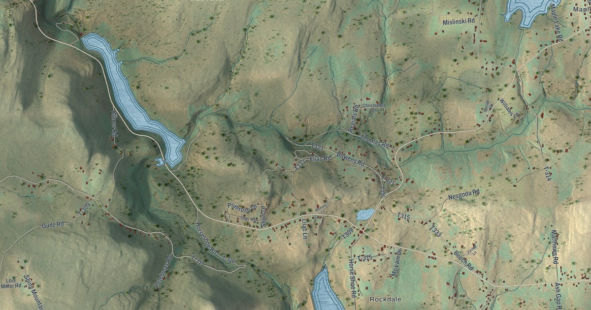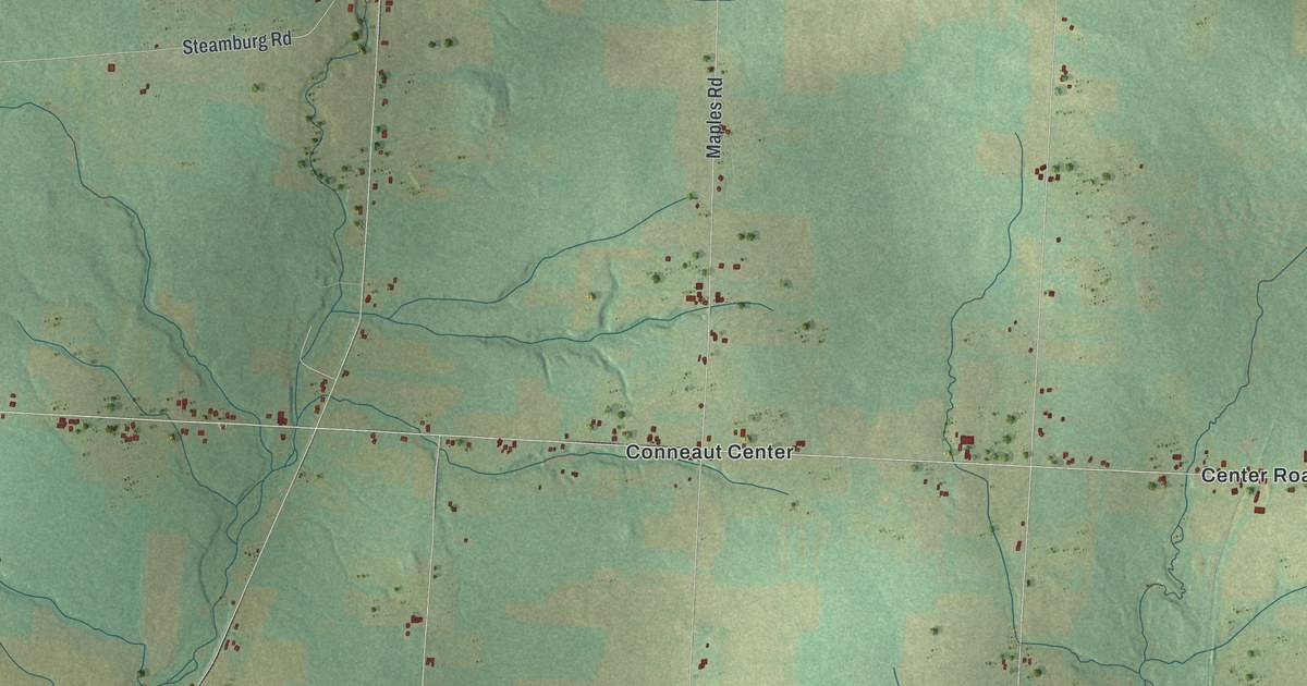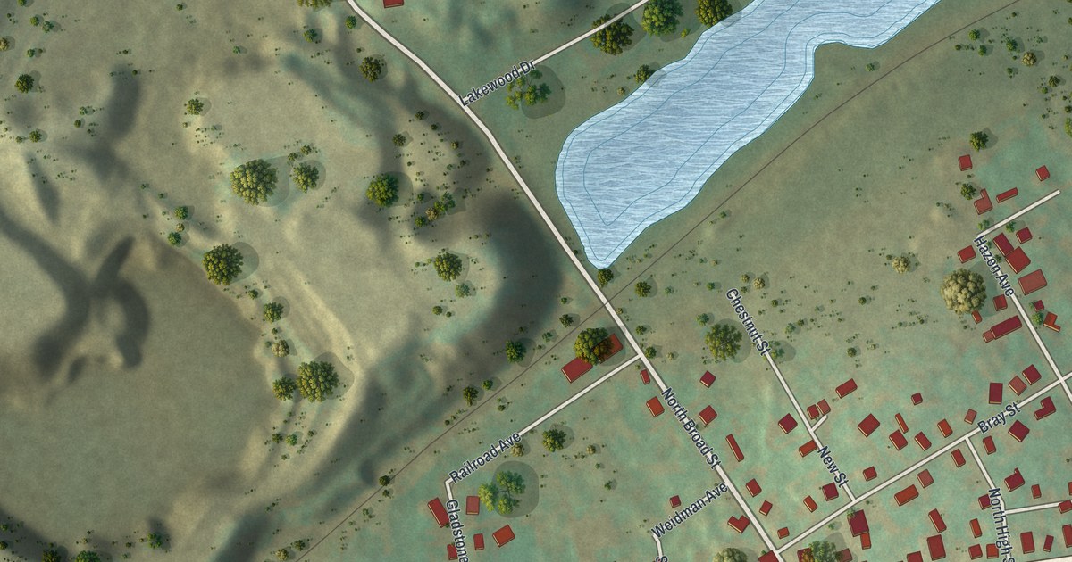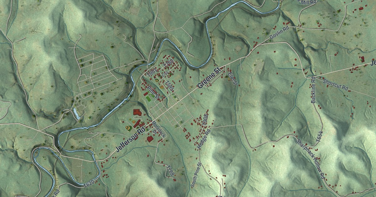
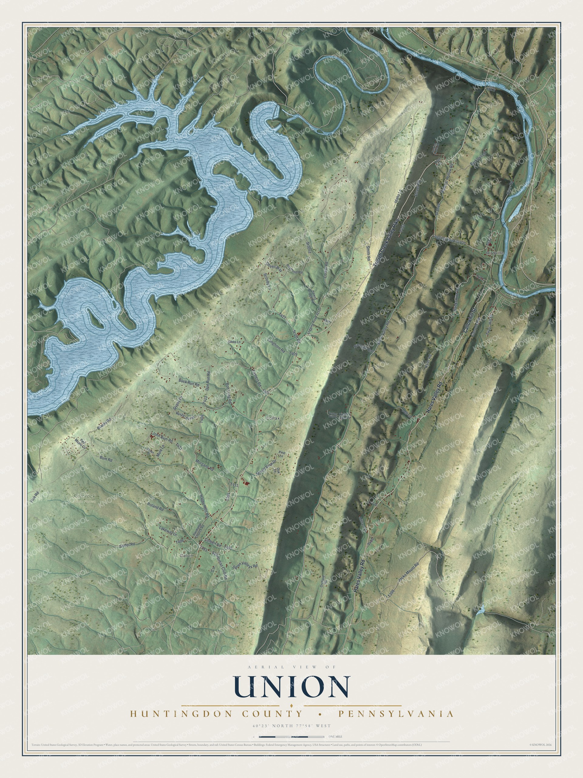
This beautifully detailed map of Union, Huntingdon County, Pennsylvania was created in 2026 using aerial imagery combined with modern topographical, census, street and landmark data. It's a modern aerial view of Union, Huntingdon County in Huntingdon County, Pennsylvania, that combines modern data with a vintage aesthetic. The roads feature printed names, and if you look closely you can find your exact house accurately shown in its correct location.
Explore an aerial view of Union, Huntingdon County, Pennsylvania
On this map you'll find Calvin, Colfax, Rothrock State Forest, Birdville, Trough Creek Valley Pike, Hares Valley Road, Callowhill Street, Smith Valley Road, T393, Sportsman Club Road, Scott Road, T427, and more. Each red shape is a building, so zoom in on the preview and look for yours.
Union, Huntingdon County has a story worth telling. The Internet Archive puts it this way: "Union township included nearly the entire valley of Trough creek. Hare's valley takes its name from Jacob Hare, a tory who resided and owned a large tract of land in the valley during the Revolutionary war."
Union, Huntingdon County is a place in Huntingdon County. The Census Bureau counted 947 people here in 2020.
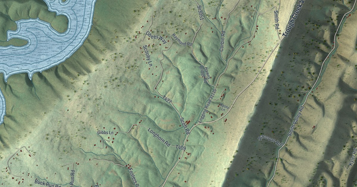
Take a closer look at the Union, Huntingdon County map
Names on this map
These names are printed on this map.
Places: Calvin, Colfax, Rothrock State Forest and Birdville.
Streets and roads: Trough Creek Valley Pike, Hares Valley Road, Callowhill Street, Smith Valley Road, Sportsman Club Road, Scott Road, Mount View Drive, Coder Road, Bum Road, Idaho Lane, Happy Hills Road, Corbin Road.
More street names, A to Z
Bankstown Road, Barkleys Lane, Blacks Road, Bob Long Road, Buck Run Road, Campbell Street, Colbert Road, Dark Side Drive, Dell Lane, Doe Run Road, Fink Road, Fosters Road, Gibbs Lane, Gypsy Lane, Harmony Church Road, Hawns Bridge Road, Hickory Hills Lane, Hill Street, Jacks Mount Road, Jj Lane, John Bum Road, Kasey Lane, Kyler Road, Lakeway Drive, Logging Road 31027, Logging Road 31110, Longhorn Road, Love Lane, Millrace Lane, Morgans Road, Mule Lane, Oak Lane, Obees Way, Orchard Road, Perfect Drift Drive, Pine Lane, Polecat Hollow Road, Pr Drive, Raccoon Run, Raymond Road, Red Maple Circle, River Road, Roland Road, Rustic Acres, Scooby Lane, Seven Valleys Road, Shawn Drive, Sloans Road, Smith Road, Sr3049, Sr3051, Sunrise Acres Road.
Created by KNOWOL in 2026. The buildings are small red shapes, the roads carry their printed names, and shaded relief shows the shape of the land. The title panel reads "AERIAL VIEW OF UNION HUNTINGDON COUNTY • PENNSYLVANIA" with 4, 0, °, 2, 3, ', , N, O, R, T, H, , 7, 7, °, 5, 8, ', , W, E, S, T.
It looks right in a kitchen, an office or a den, and it's a gift for anyone who grew up in Union, Huntingdon County or moved away. Open the preview and find your street. See sizes and frames for the Union, Huntingdon County map.