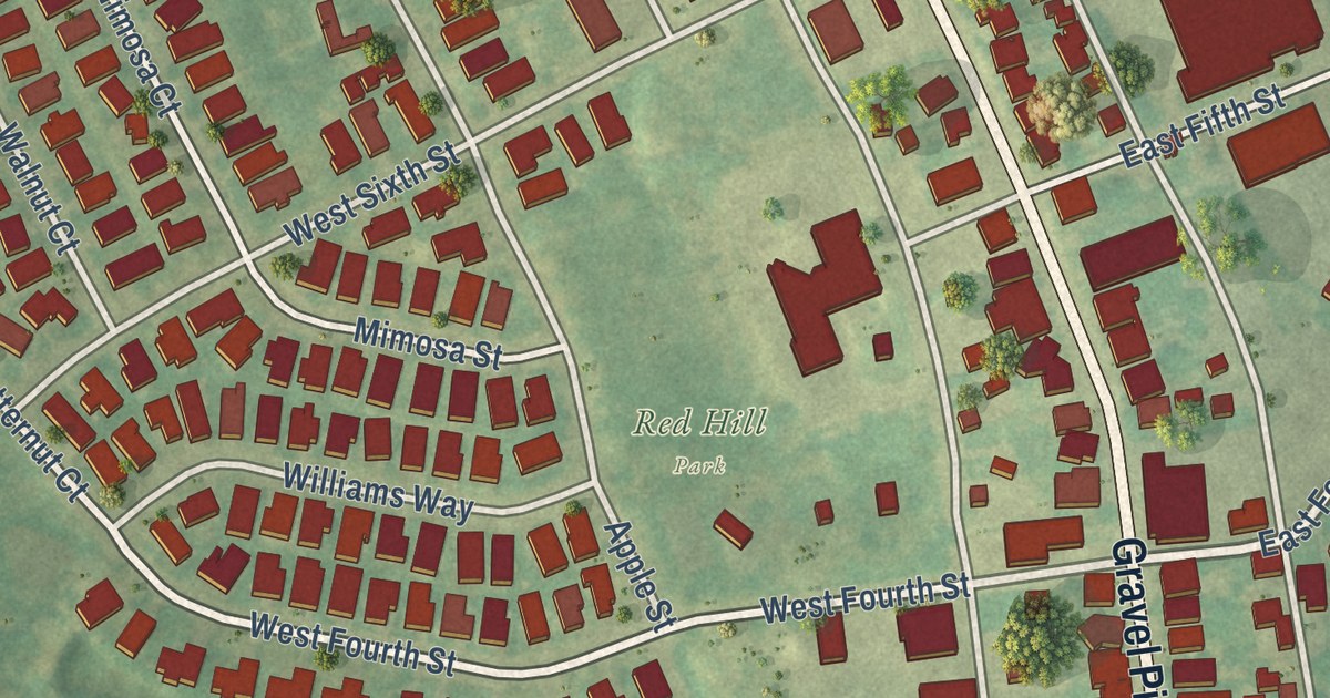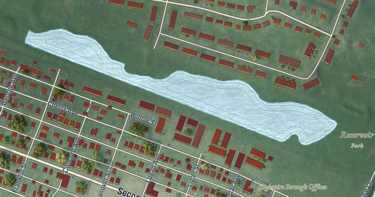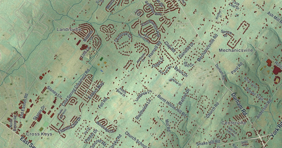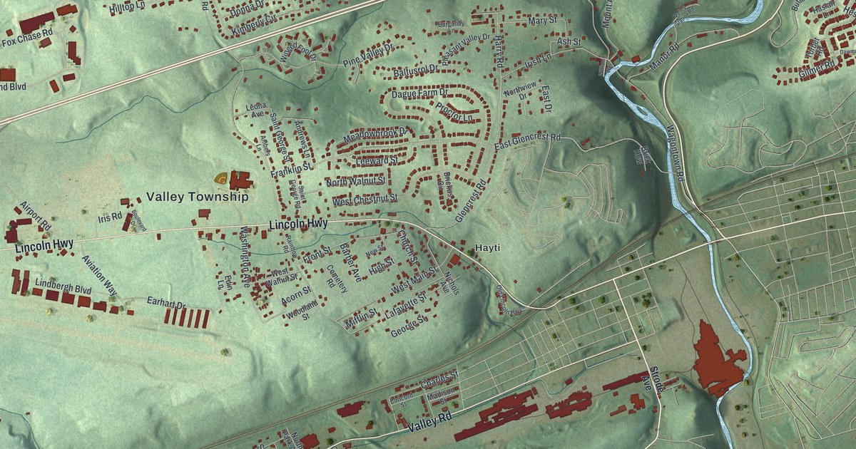
This beautifully detailed map of Valley, Chester County, Pennsylvania was created in 2026 using aerial imagery combined with modern topographical, census, street and landmark data. It’s a one-of-a-kind view of Valley that combines accurate data with a vintage aesthetic. The map shows every building in its true location, many of the roads carry their names, and the shaded topographic relief shows the shape of the land.
Explore an aerial view of Valley, Chester County, Pennsylvania
On the map you’ll find Valley Township, Siousca, Hayti, and Westwood, along with North First Avenue, Lincoln Highway, Valley Road, Kings Highway, Glencrest Road, Harry Road, Irish Lane, Coleridge Lane, and more. If you look closely you can even find your house accurately drawn in its correct location. Zoom in on the preview to look for yours.
Did you know this piece of Valley, Chester County, Pennsylvania history?
From the 1881 History of Chester County, Pennsylvania, with genealogical and biographical sketches: "Valley township was formed in 1852, by decree of court, from parts of the townships of West Cain, West Brandywine, East Cain, and Sadsbury, the larger part of its territory being taken from the last two townships, with the village of Coatesville in about the centre of it."
Take a closer look at the Valley, Chester County map
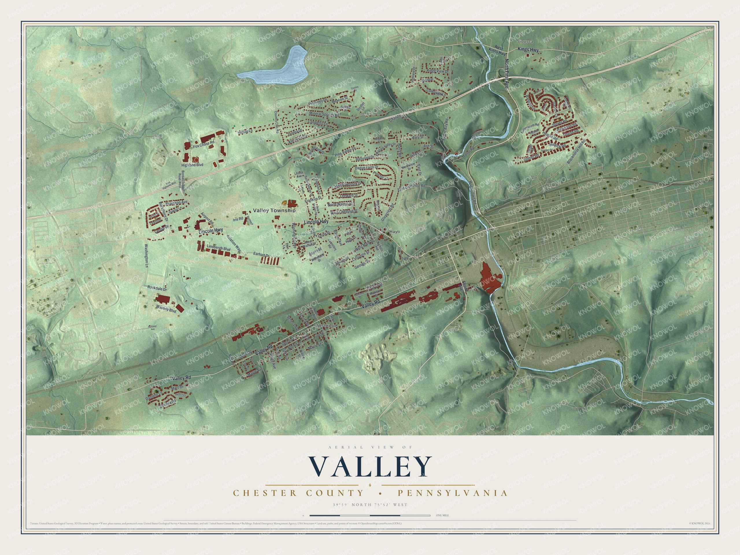
Street and place names on the Valley, Chester County, Pennsylvania map
These names are printed on the map of Valley, Chester County, Pennsylvania.
Places: Valley Township, Siousca, Hayti and Westwood.
Streets and roads: North First Avenue, Lincoln Highway, Valley Road, Kings Highway, Glencrest Road, Harry Road, Irish Lane, Coleridge Lane, Marc Drive, Wagontown Road, Mineral Springs Road, Dague Farm Drive.
More street names, A to Z
Ackman Lane, Acorn Street, Airport Road, Ambers Lane, Andrews Lane, Ash Street, Aviation Way, Baltusrol Drive, Barber Avenue, Bardel Drive, Beacon Street, Blackhorse Hill Road, Bonsall School Road West, Boulevard Drive, Brick Row, Brickus Circle, Brown Lane, Buckthorn Drive, Burgundy Lane, Butterworth Road, Cemetery Road, Charles Street, Charlotte Lane, Church Street, Concord Street, Country Club Road, Cynthia Road, Danielle Lane, Davish Road, Dawman Road, Donna Drive, Dunbar, Earhart Drive, East Drive, East Glencrest Road, Edin Lane, Elm Street, Fox Chase Road, Franklin Street, Front Street, Gaston Lane, George Street, Gilmer Road, Green Street, Haslan Lane, Heston Road, Highland Boulevard, Highland Drive, High Street, Hilltop Lane, Hoffman Avenue, Hulnick Road, Iris Road, Kimberly Circle, Kirby Street, Lafayette Street, Lamberts Lane, Larose Drive, Laurel Street, Leeward Street, Leona Avenue, Linda Lane, Lindbergh Boulevard, Linden Street, Lockport Lane, Madison Street, Manor Road, Maple Avenue, Maple Street, Mary Street, McElree Lane, Meadowbrook Drive, Mifflin Street, Mount Airy Road, New Street, Nichols Avenue, North Park Avenue, Northview Drive, North Walnut Street, Oak Avenue, Oaklyn Lane, Old Lincoln Highway, Peters Court, Pinckney Drive, Pine Street, Pine Valley Drive, Pinkerton Road, Pleasant Valley Drive, Proctor Lane, Rainbow Road, Randall Lane, Red Road, Revere Court, Ridge Avenue, Ridge View Drive, Robinson Avenue, Rockdale Drive, Saint George Road, Saint George Street, Scott Avenue, Seneca Avenue, Sheeler Lane, Steel Avenue, Steidler Lane, Stoyer Road, Strode Avenue, Thomas Circle, Torbet Road, Tuxford, Valley Station Road, Washington Avenue, Washington Lane, Waverly Boulevard, West Chestnut Street, West Highlands Boulevard, West Kings Highway, West Main Street, West Walnut Street, William Way, Willow Street, Winged Foot Drive, Woodland Street.
See the Valley, Chester County, Pennsylvania map on a wall
The Valley, Chester County map as an 18 x 24 inch print in a black frame.

This beautifully detailed map of Valley, Chester County makes an attractive addition to your office, library, or den, and it can even be used to teach children the geography and history of the area. It also makes a great gift for someone who left Valley and still calls it home. When you’re done exploring, click here to get your copy of the Valley, Chester County map.